
Quick report
High pressure has brought forth warm weather to the forecast zone. After all the recent storm snow, the snowpack is settling out nicely. Damp and penetrable snow surfaces were the main take-aways from todays filed outing. This trend will continue to increase over the coming days.
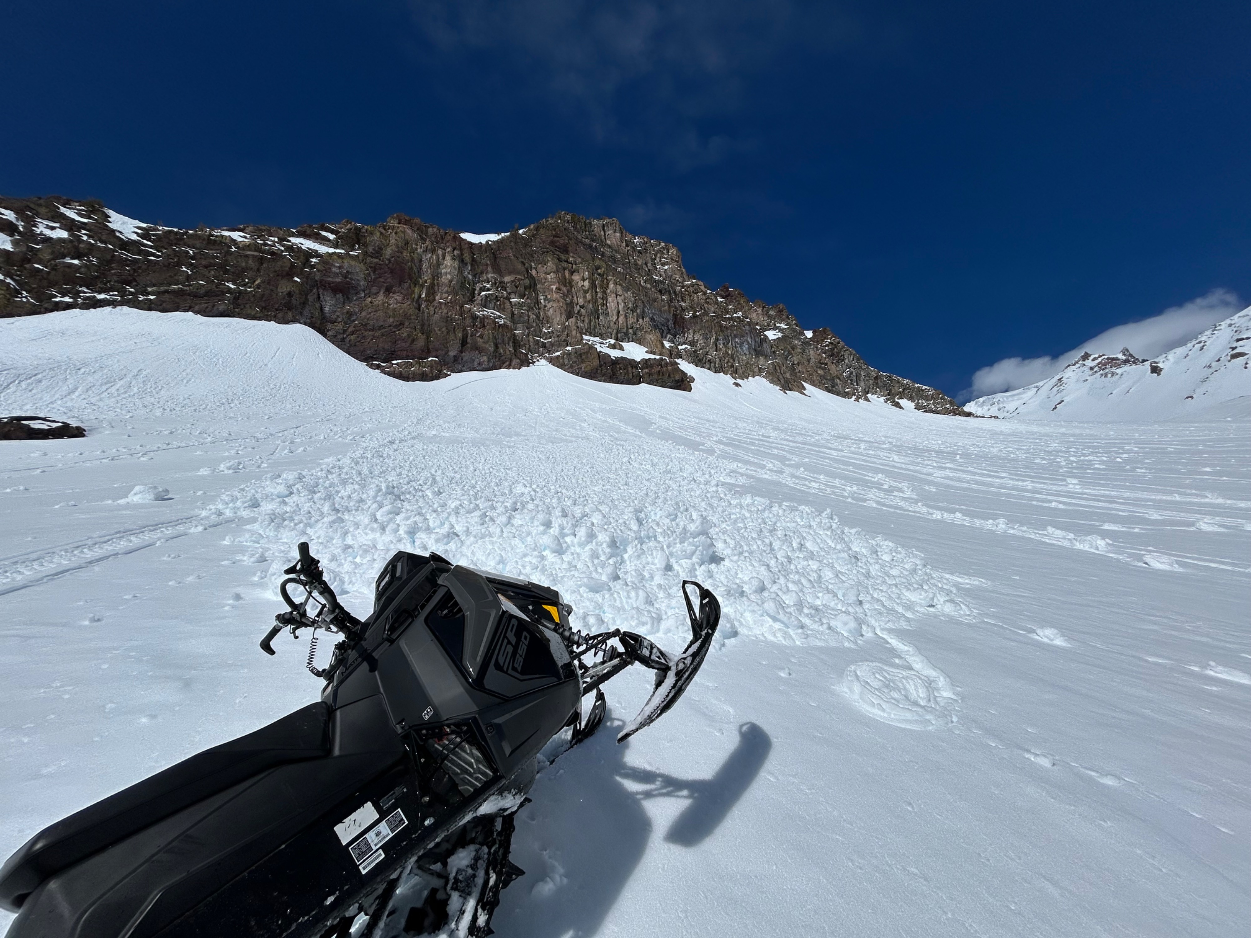
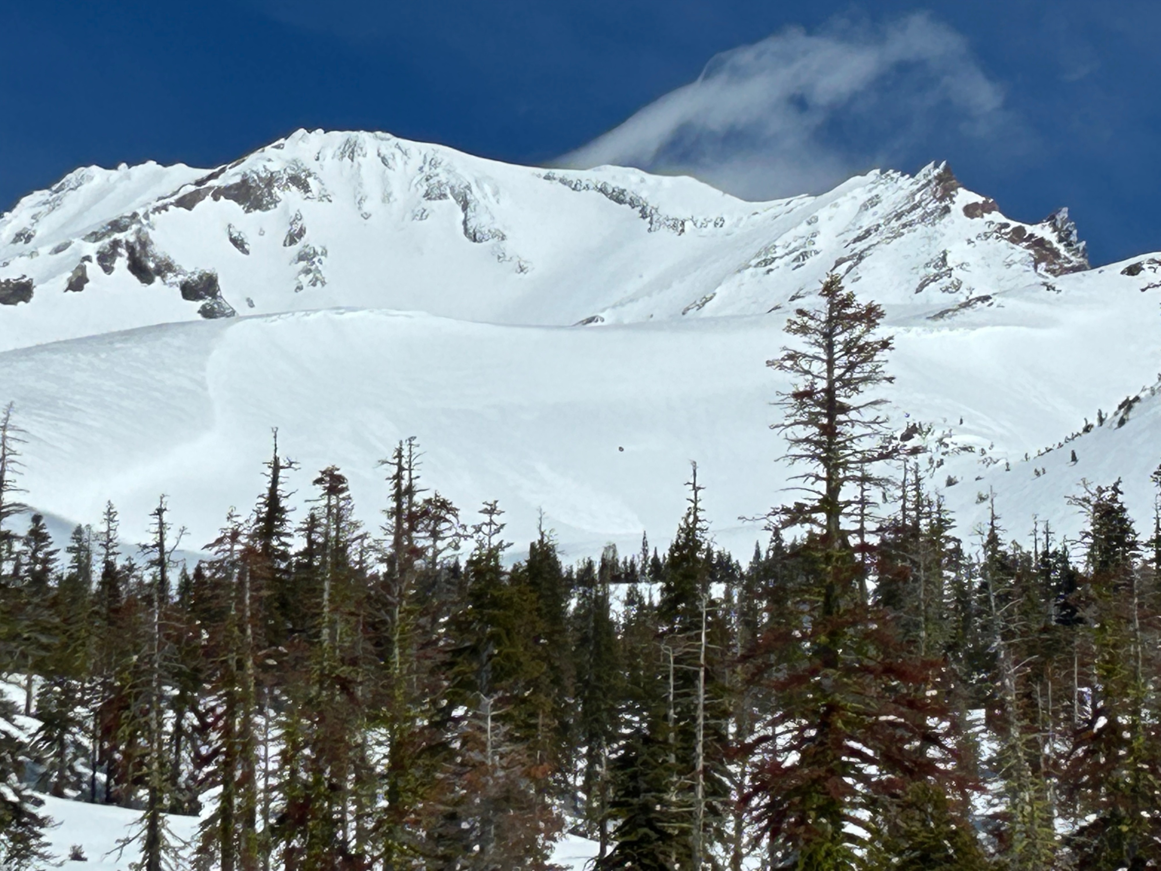
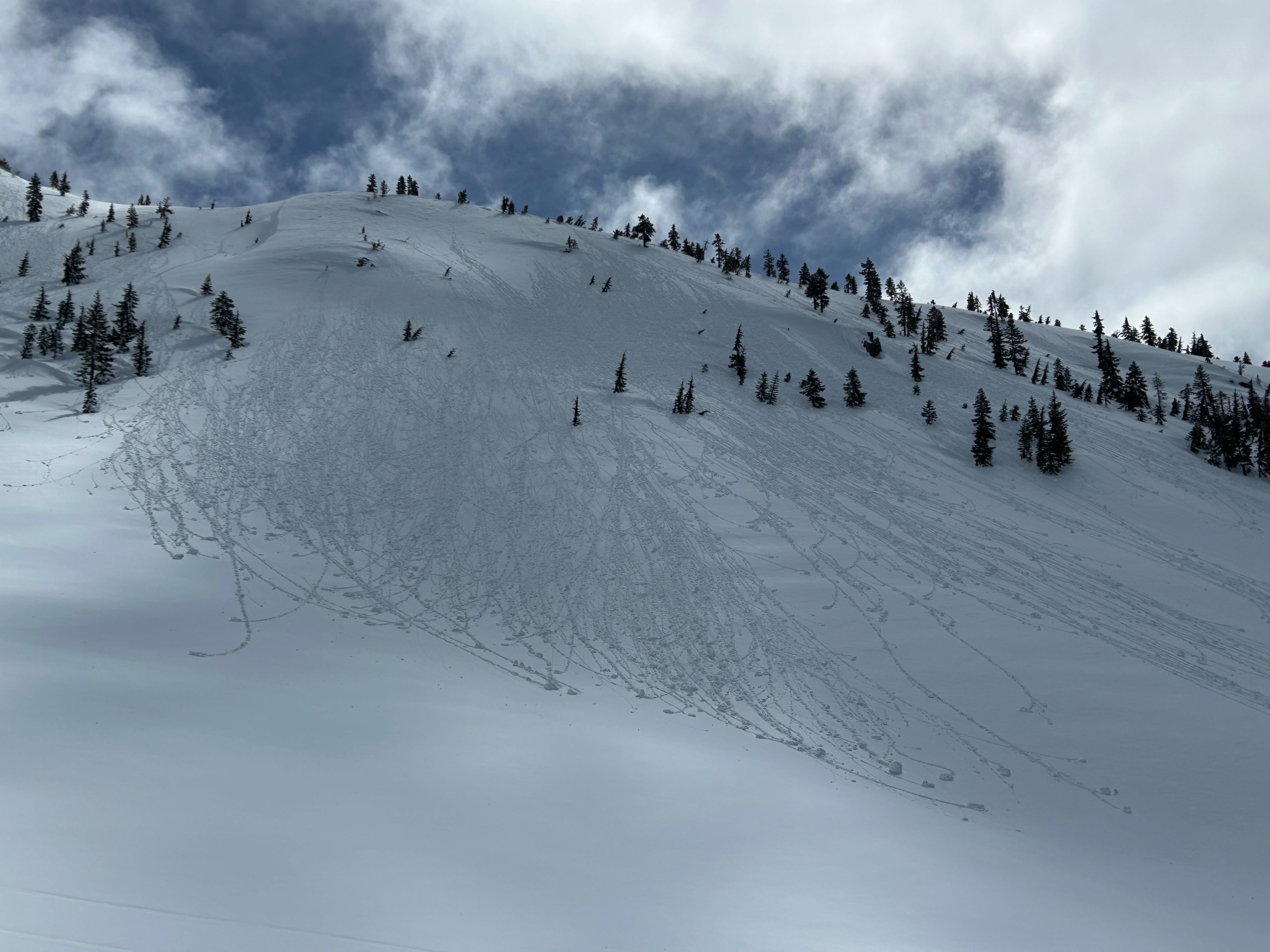
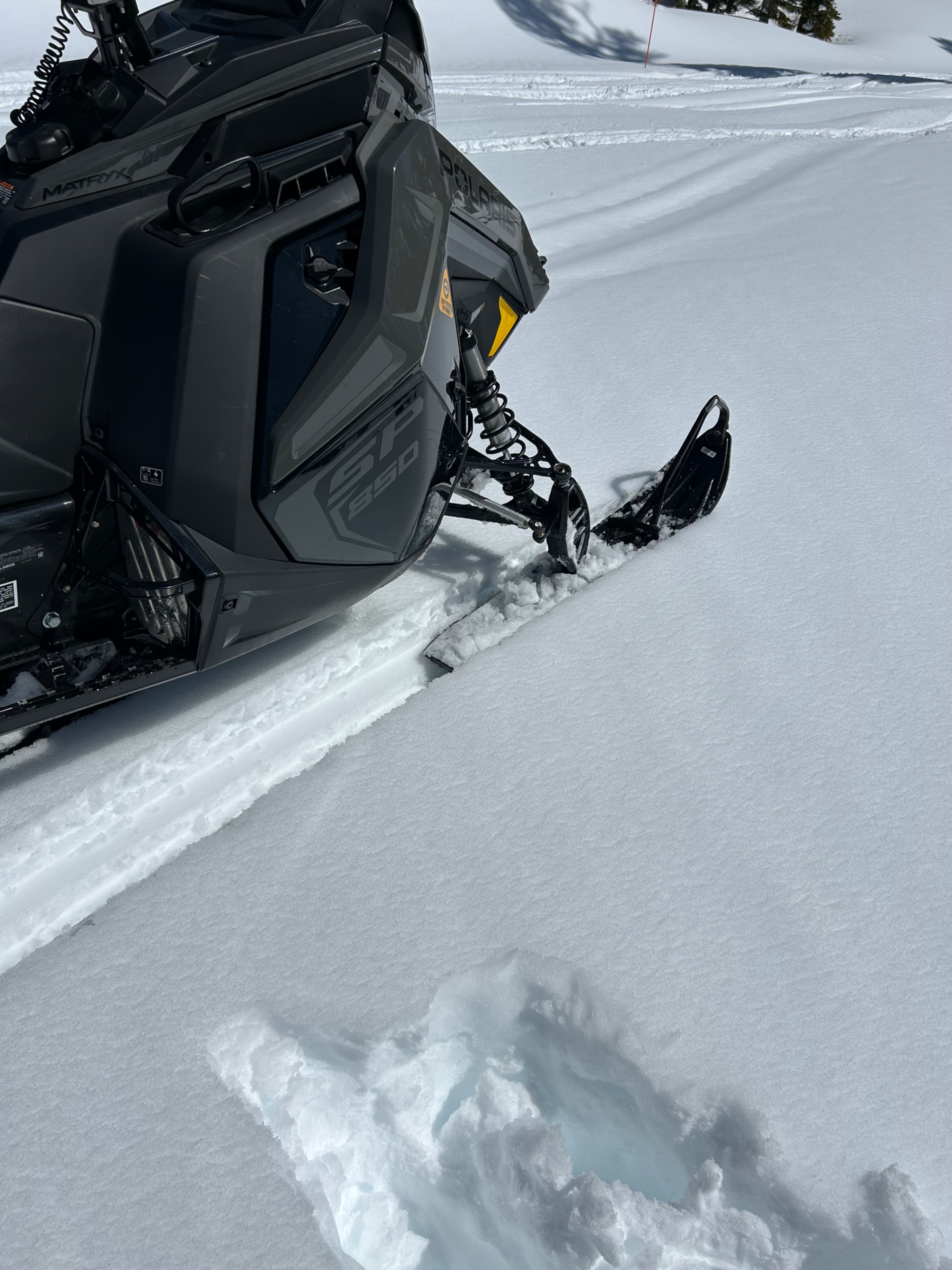
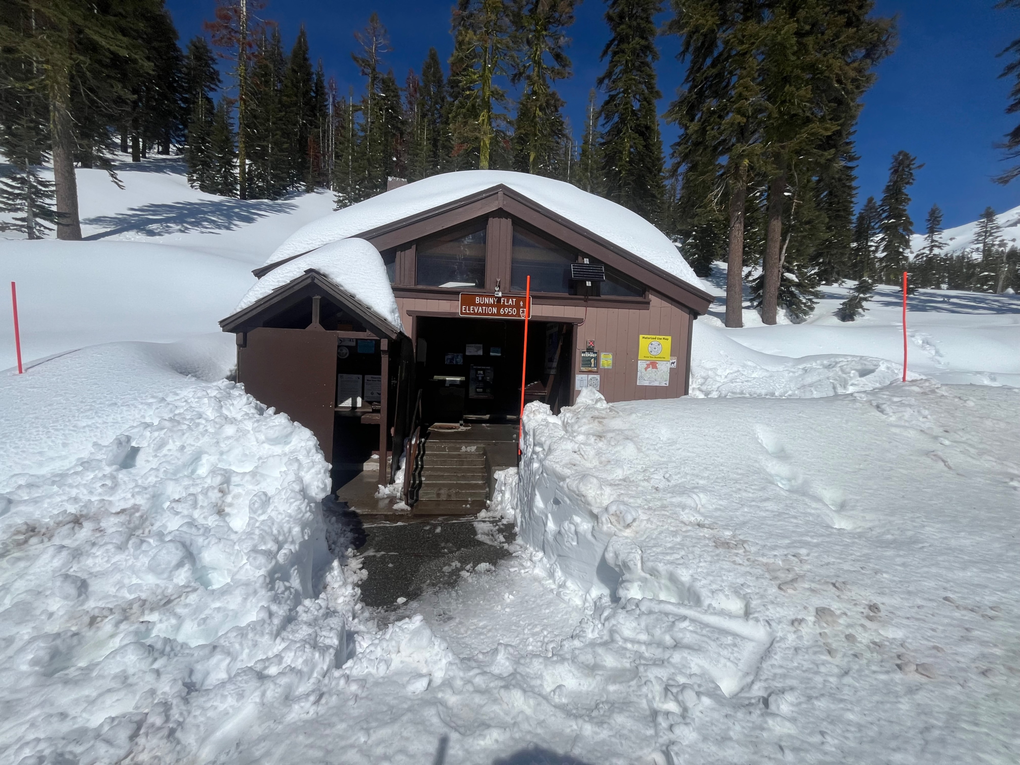
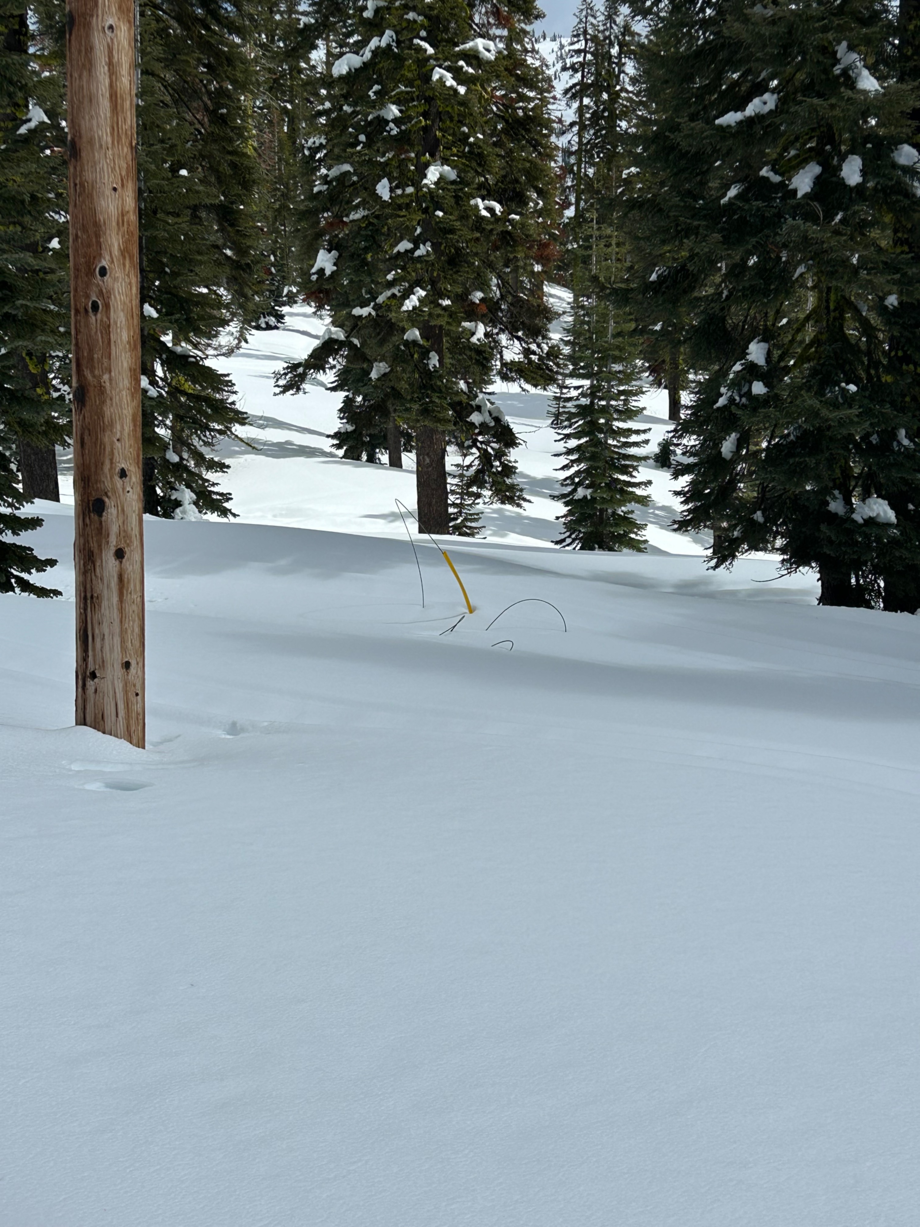
Snow surfaces rebounded from a light overnight re-freeze, ranging from damp to wet across all aspects and elevations. Large amounts of roller balls and recent natural and human triggered wet-loose avalanches were observed (see photos). Three to seven inches of unstable wet surface snow is most prominent on steep slopes that face east, south, and west due to their solar exposer. Northerlies surfaces only host an inch or two of dampening surface snow. Overall, snow conditions remain soft, becoming more wet and unstable throughout the day. The upper flanks of Mount Shasta hold more variable surface conditions, with wind texture and ice visible.
A day-old natural wet-loose avalanche was observed in Sun Bowl, and a snowmobile triggered wet-loose avalanche was observed on the east face of Green Butte. Both D1 in size. Roller balls and pinwheels were observed on the majority of steep solar facing aspects, primarily near treeline.Weather
- Air Temp
- 50
- Cloud Cover
- few
- Wind Loading
- previous
- Recent Snowfall
- 0
- Snow Avail For Transport
- none
Today hosted warm weather. Mountain temperatures reached a high of 50 degrees at the Gray Butte weather station at 1200 hours. The sky remained mostly clear, with patches of small clouds hovering over the flanks of Mount Shasta. Winds were calm.