
Quick report
We visited Cascadilla Creek to examine the avalanche activity associated with the recent warm, windy, wet storm.
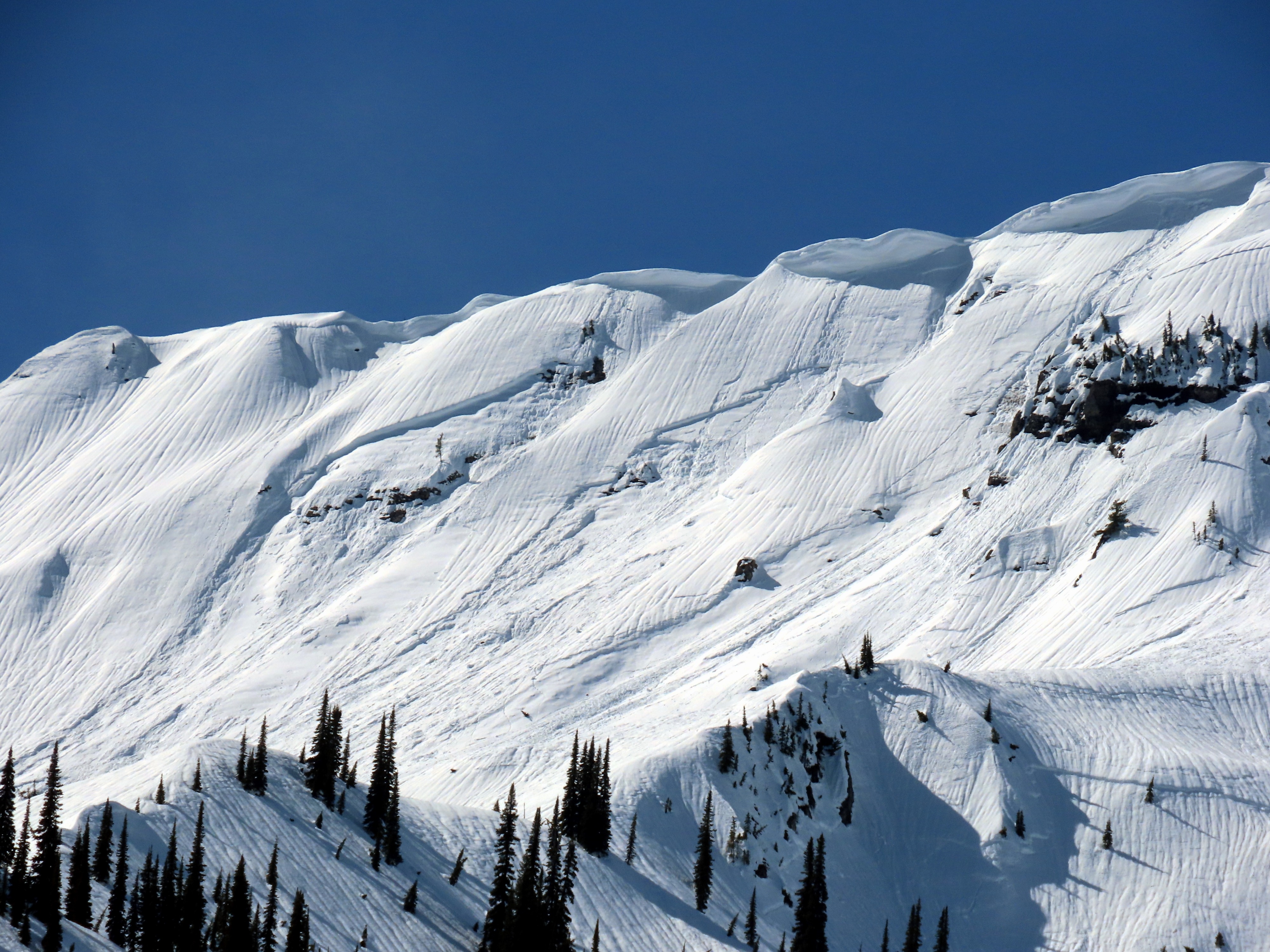
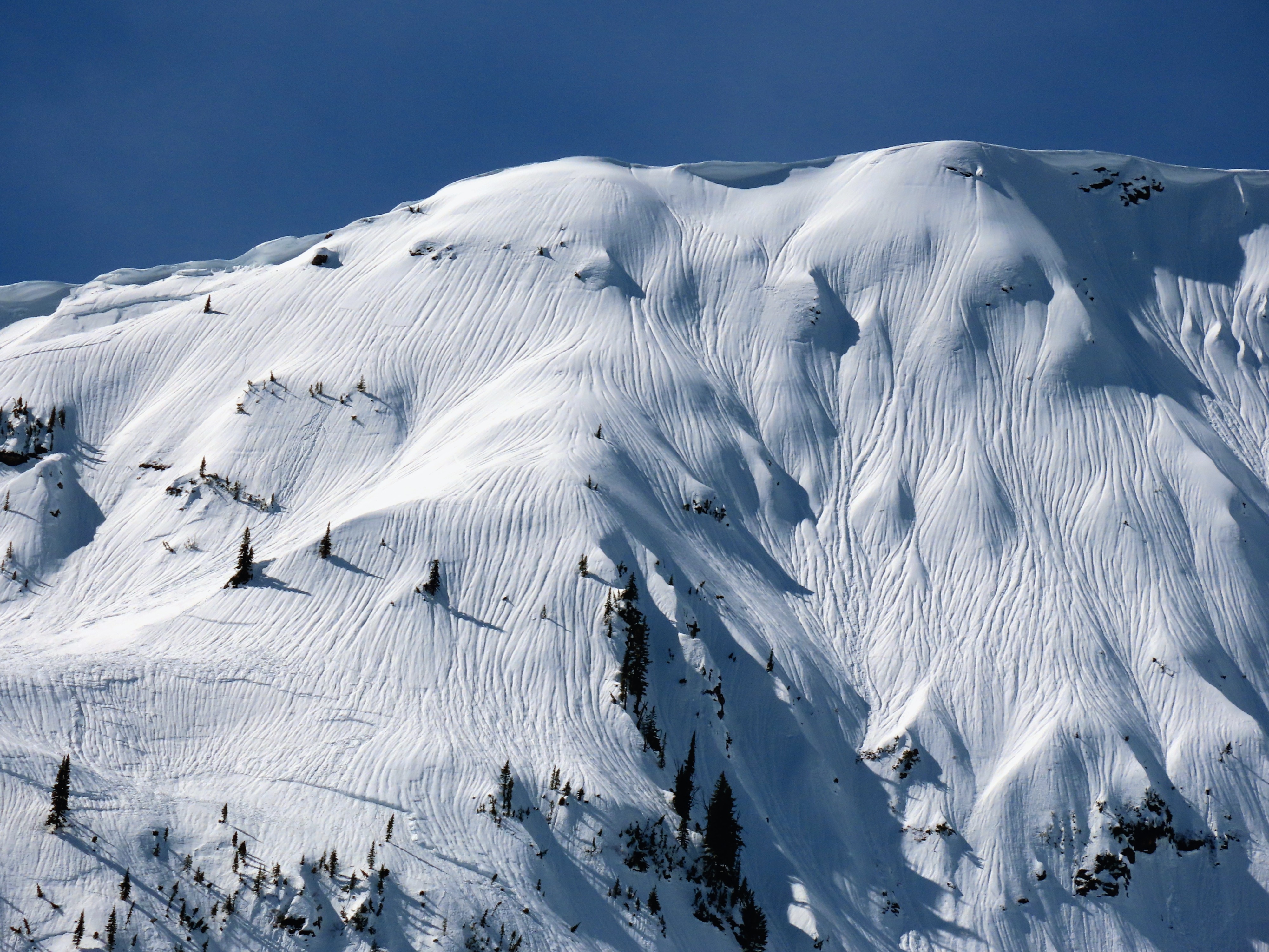
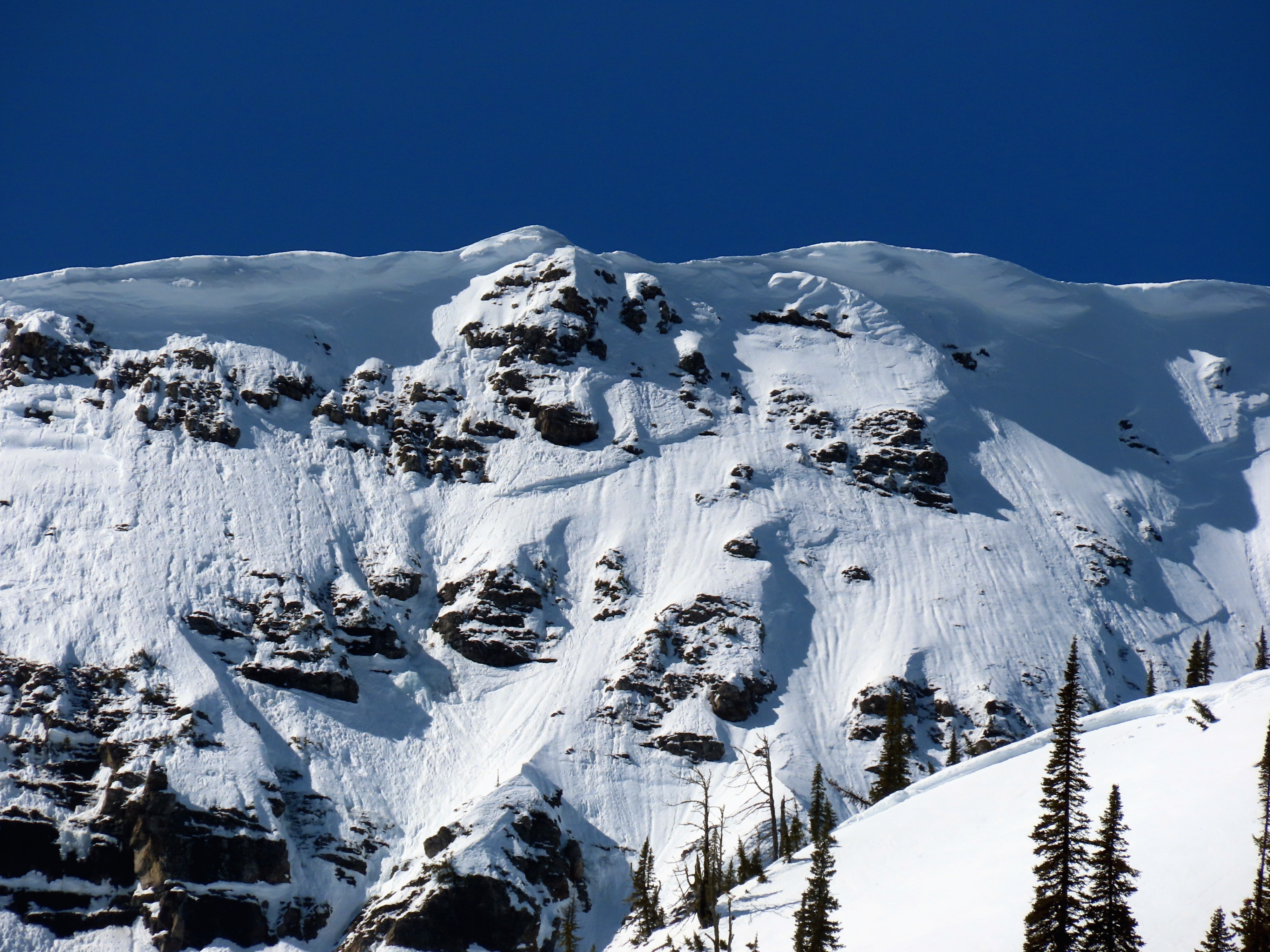
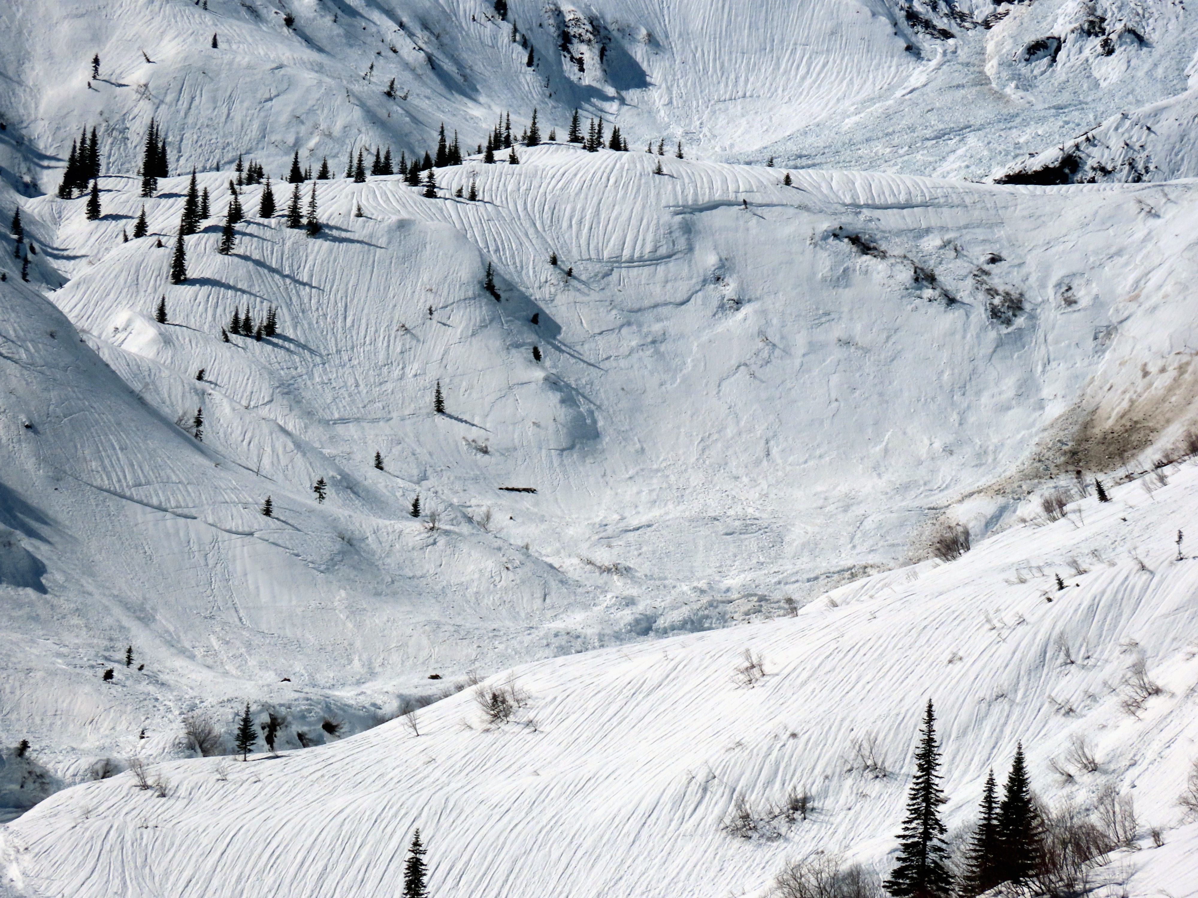
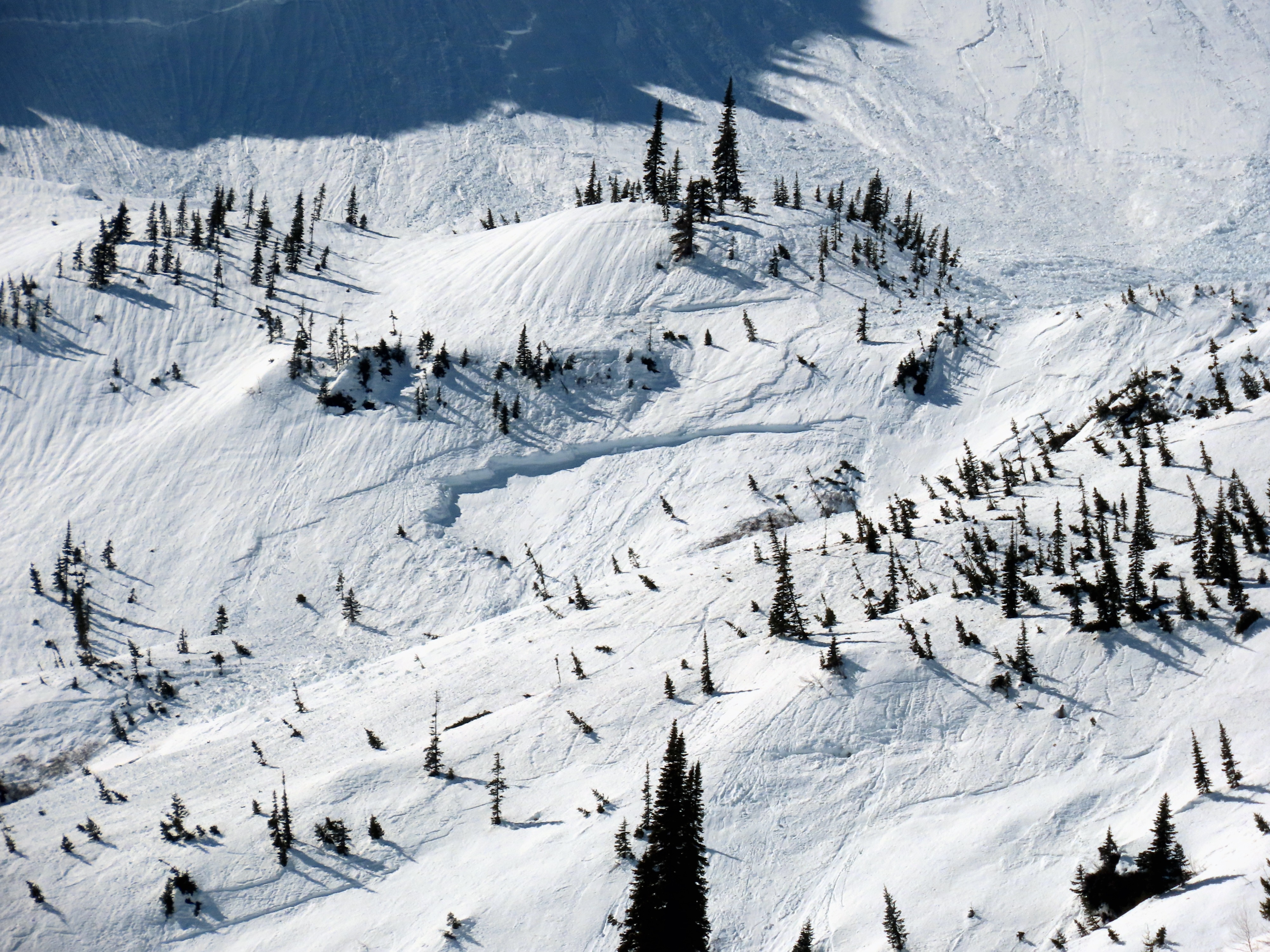
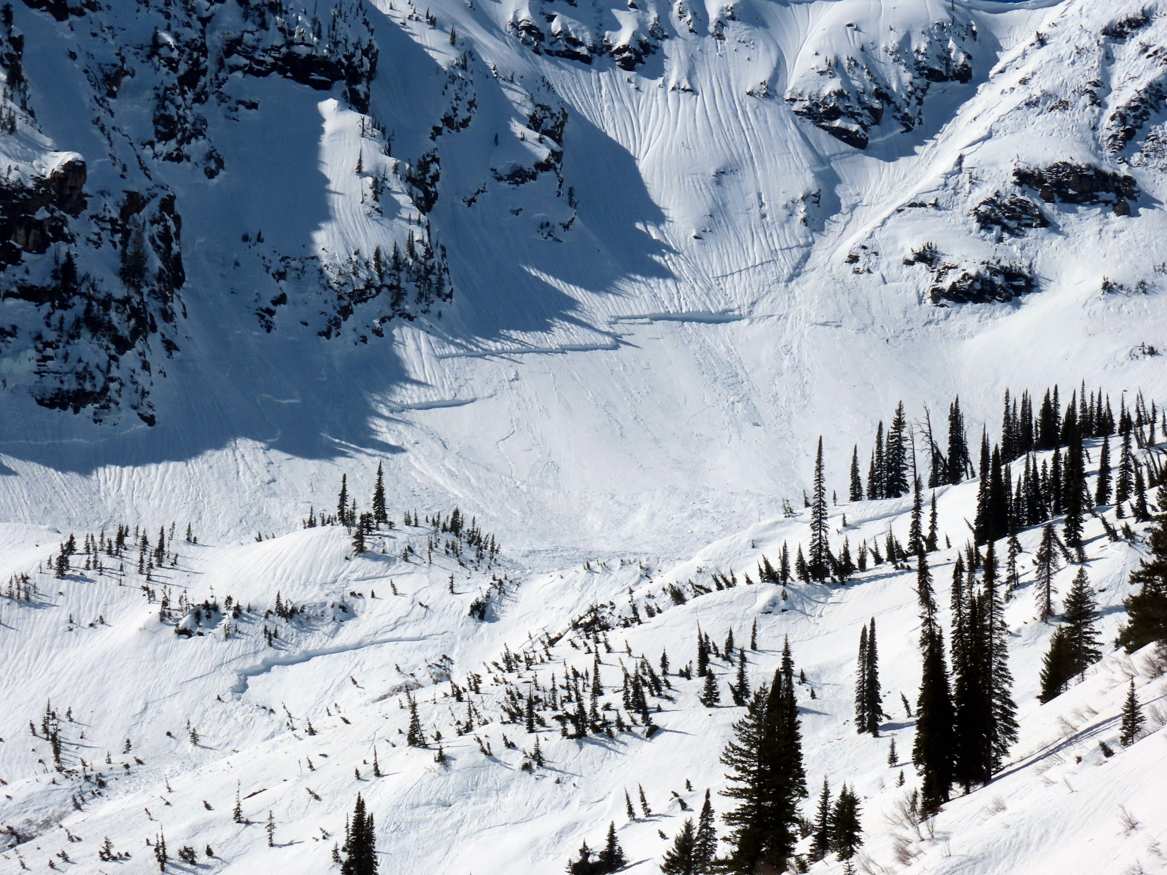
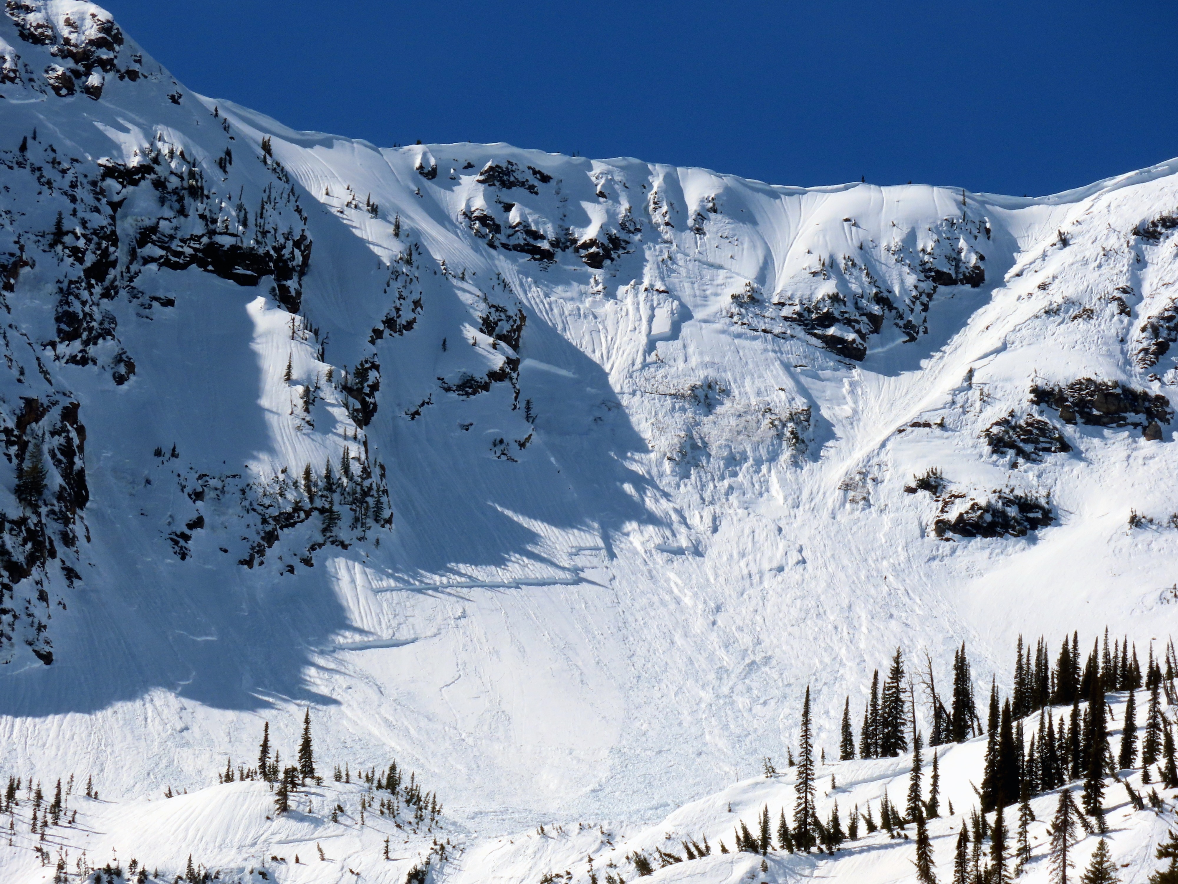
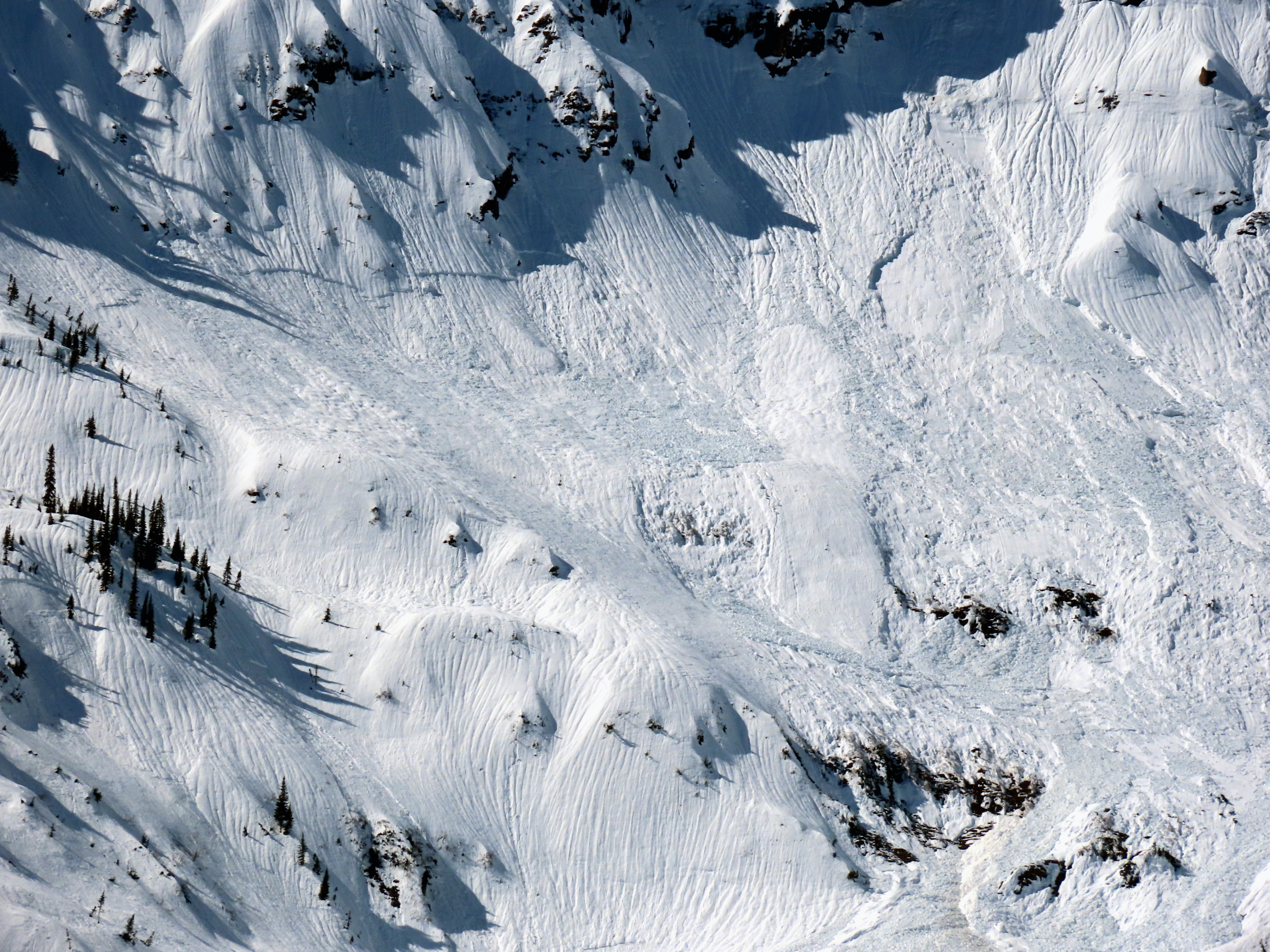
- Multiple soft slab crowns were observed at all elevations on N-E-S aspects. We did not have a view of the westerly facing slopes. Avalanches were primarily storm and wind slabs; however, we suspect some may have failed as wet slabs.
- Hard slabs were noted on northeast and east aspects, mainly at upper elevations.
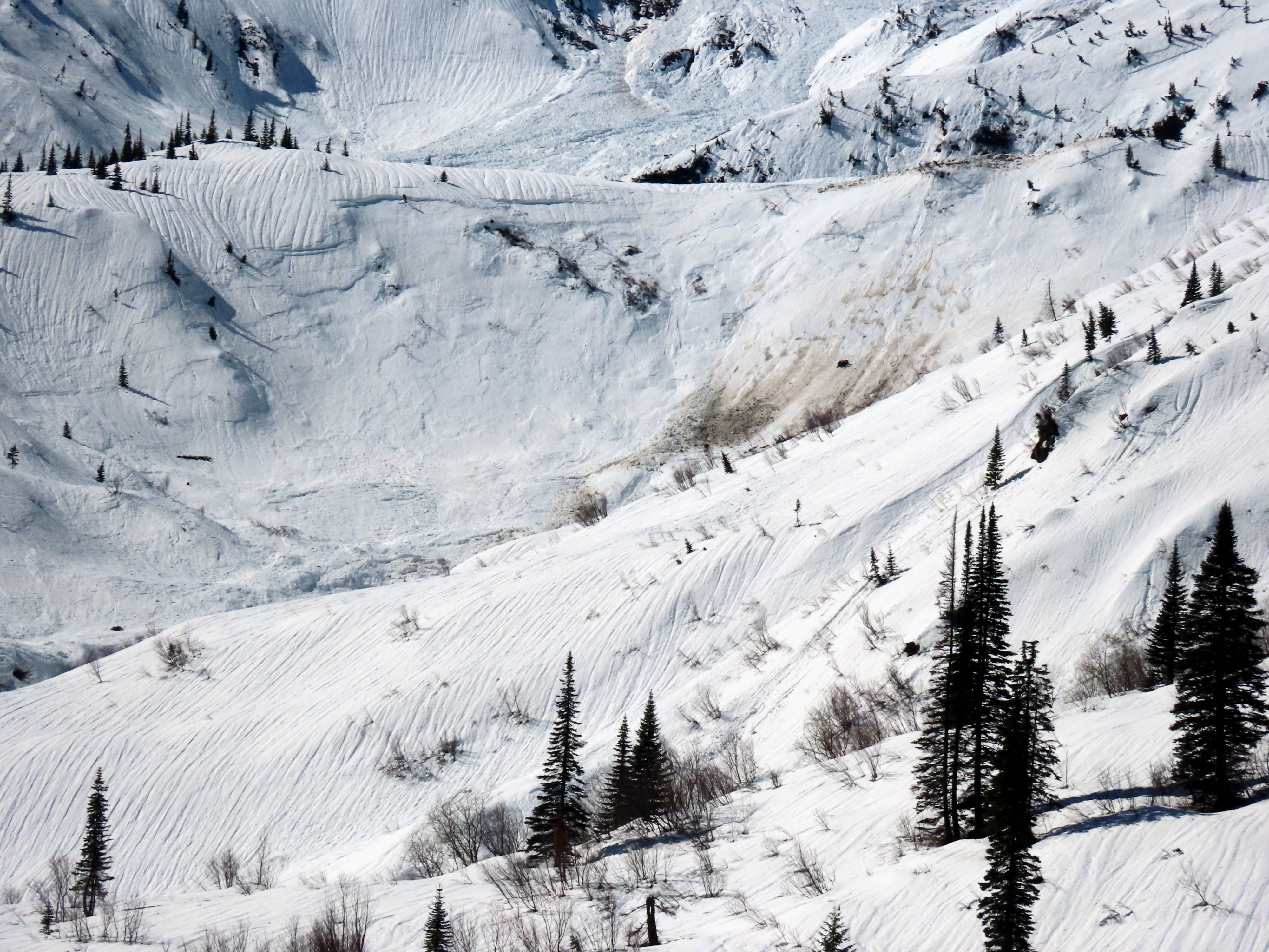
- Wet loose activity occurred on steep, low, and mid-elevations, but the number of slides and the size of the debris were underwhelming. This was today's biggest surprise and disappointment.
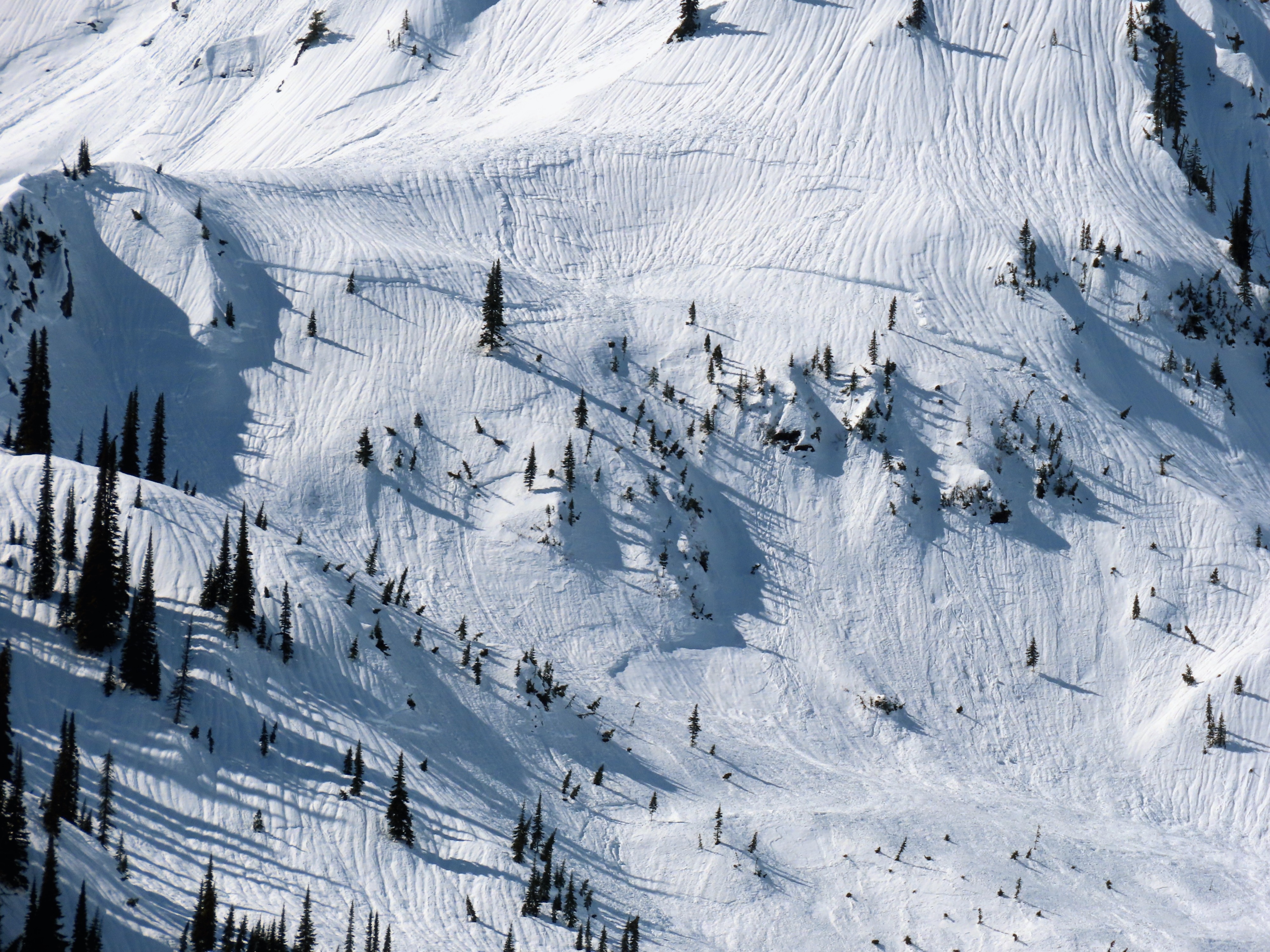
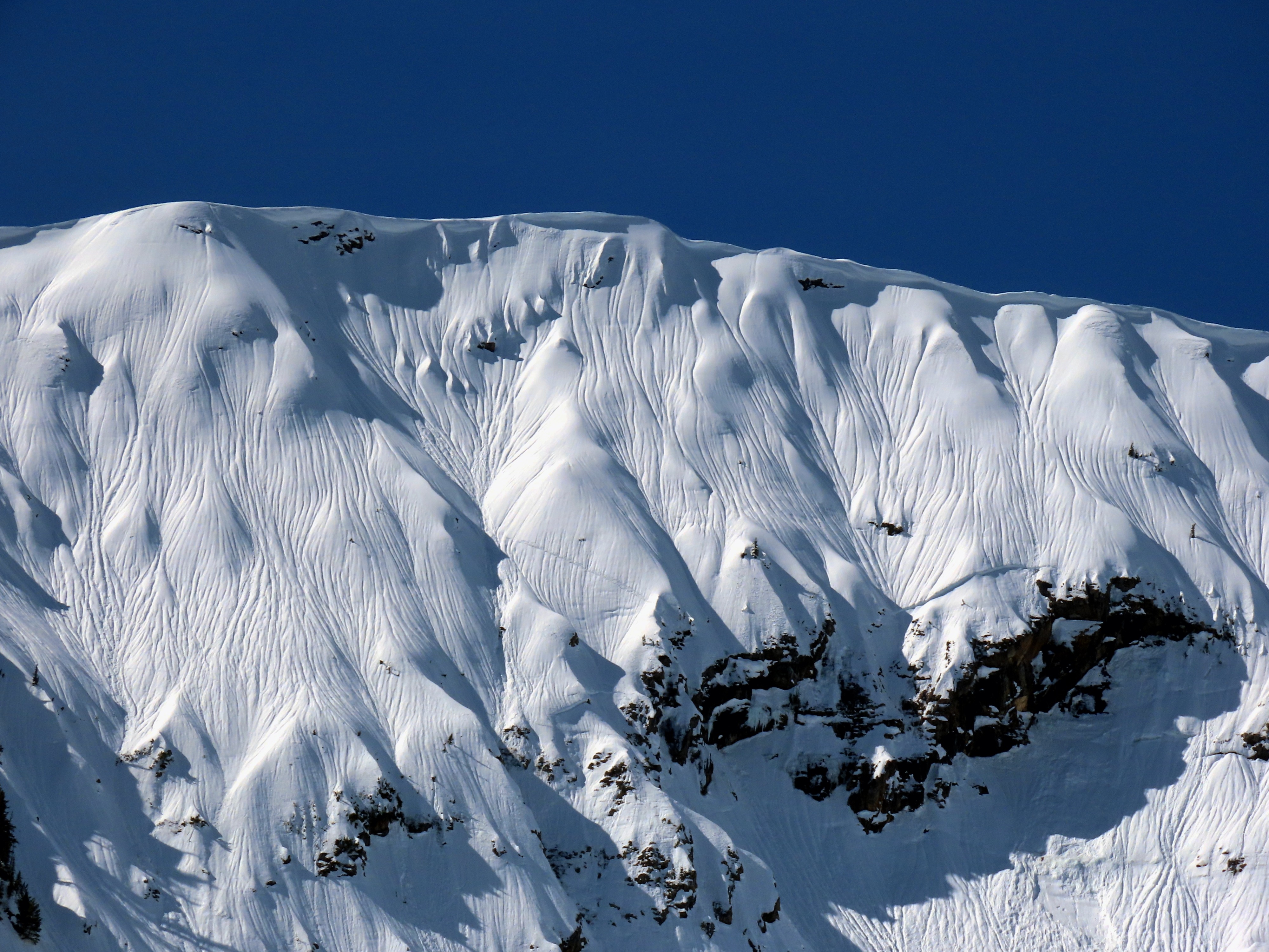
- Impressive runnels on all slopes at all elevations indicate that the rain line reached at least 7300 feet in this drainage.
Weather
- Air Temp
- 35
- Cloud Cover
- few
- Wind Loading
- none
- Rain Elevation
- 5500
- Recent Snowfall
- 0
Thick low-level fog burned off by late morning. Warm and mostly sunny after that, with no hint of a breeze.
Snowpack
Once out of the trees, the surface had a 1-inch-thick melt-freeze crust at low elevations.
One small loose wet slide occurred at 1300, but that was the extent of activity during our visit.
Avalanche
- Size
- D2 R2
- Type
- SS
- Count
- 10
- Aspect
- E
- Trigger
- N
- Elevation
- 6000 ft