
Quick report
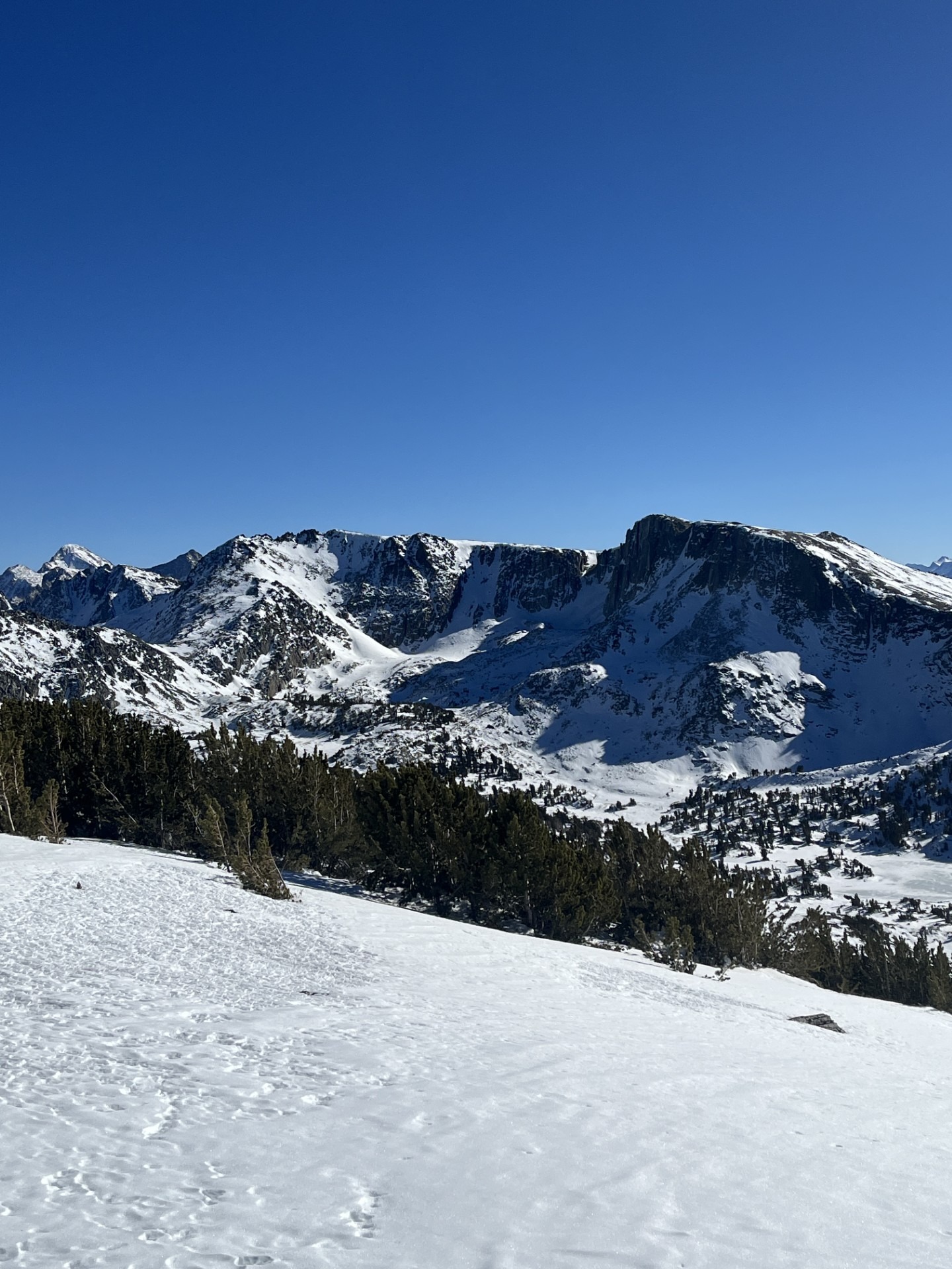
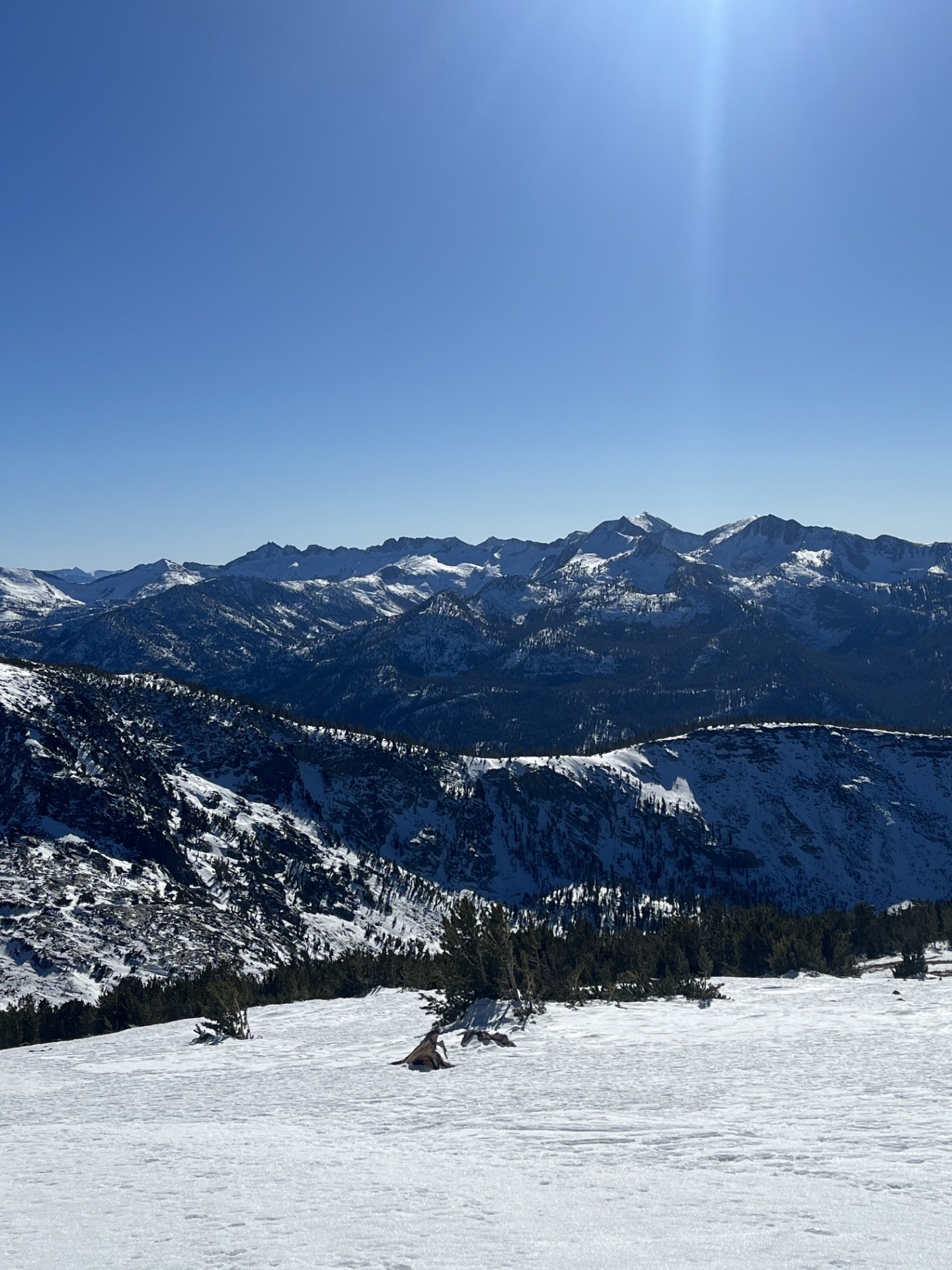
My goals for today were to go to the Mammoth Crest for the first time this season, traverse on the ridge from North to Southeast and look at as many start zones as I could along the way.
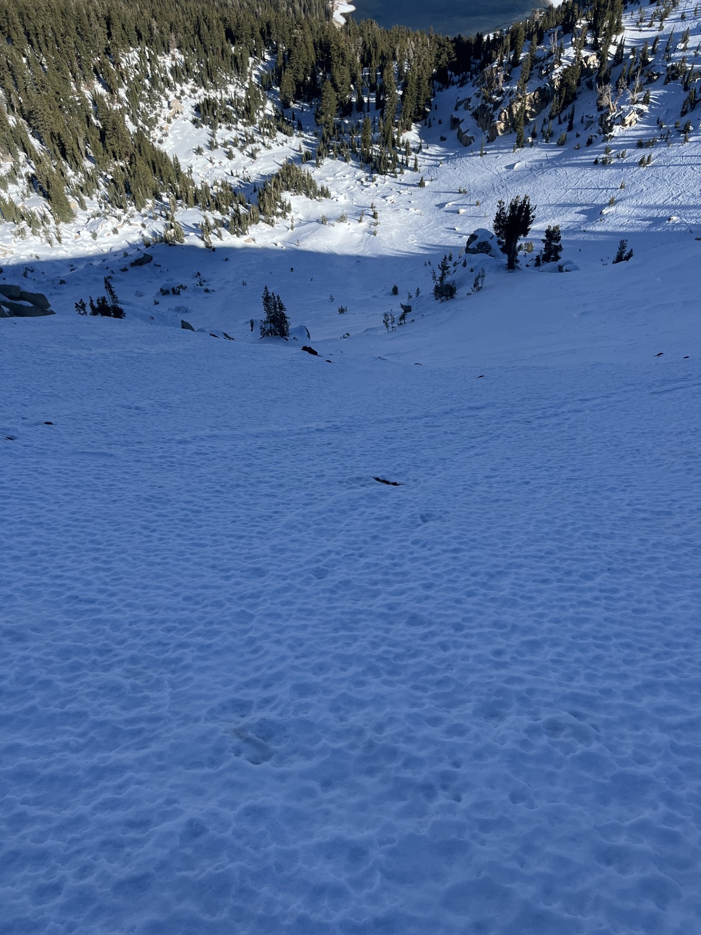
Travel up to and along the Crest was mostly covered and shennanigan-free. Coverage on top of the ridge as well as on Souths and Wests above 10000 feet is decent. Exposed surfaces near the ridge crest are windboard, sastrugi, exposed rain crust and an exfoliated spongy golf ball texture.
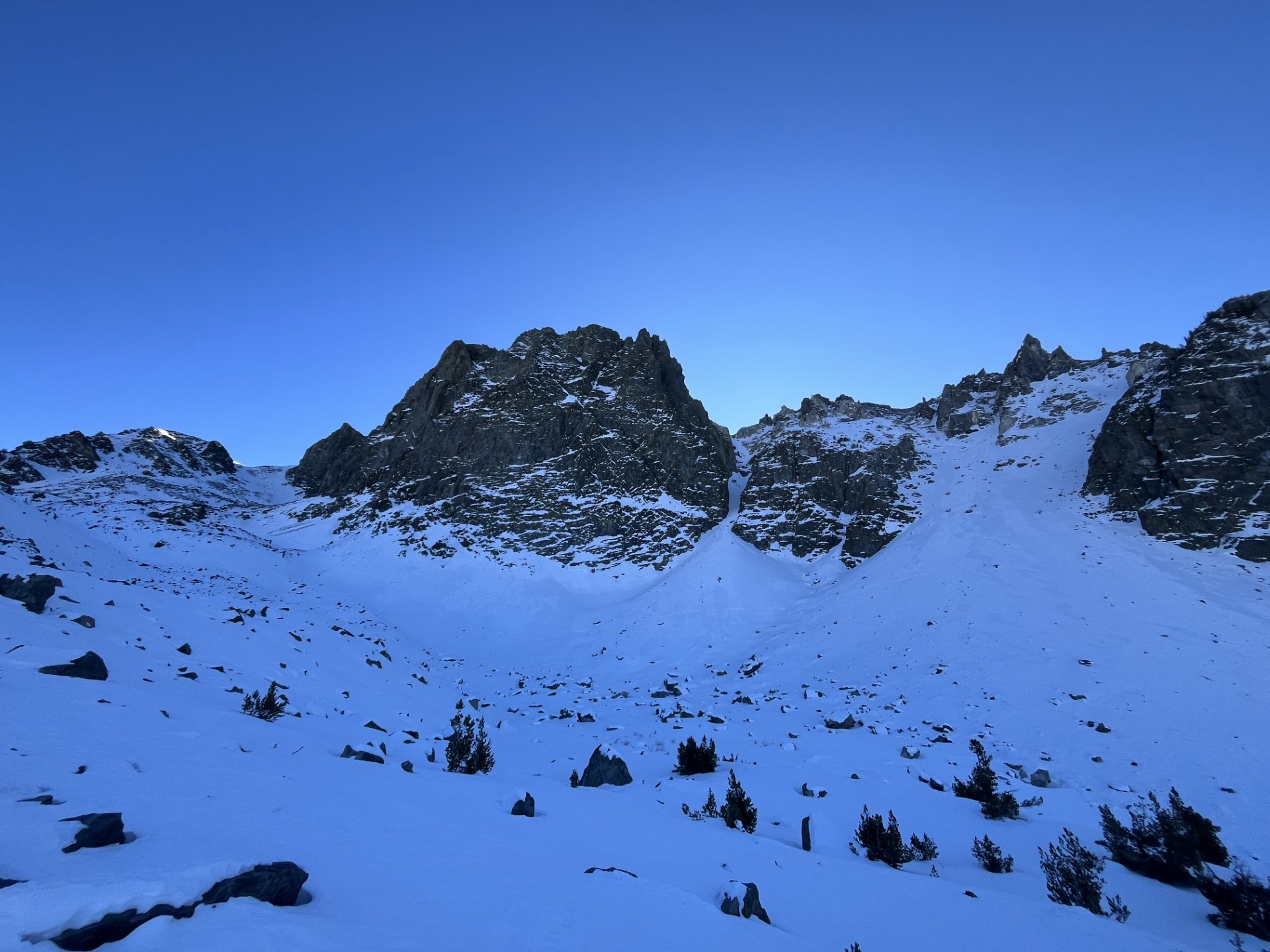
Most of the typical N-NE facing entrances are stripped down to rocks. Further down the chutes and bowls and below cliffs, snow depths are roughly 2 feet and the surface is half hard windboard and half wind exposed facets.
Below 10000 feet in the Lakes Basin, the coverage thins out and travel is tricky and sometimes unpleasant.
Weather
- Air Temp
- 40
- Cloud Cover
- clear
- Wind Loading
- none
- Recent Snowfall
- None
- Snow Avail For Transport
- none
Clear, calm and above freezing temperatures.
Snowpack
- Below 9000 feet, coverage is mostly unskiable.
- Between 9000 and 10000 feet, protected slopes have roughly 12 inches of loose facets, often on top of a rain crust near the ground.
- Above 10000 feet, all snow has been affected by the wind in some way, and depths and surfaces vary greatly. On N and NE chutes and gullies, entrances are mostly scoured and couloirs are mostly firm.
- Polar start zones near treeline (NTL) have a mix of knife-hard windboard and faceted snow, arranged in chaotic patterns. The deepest snow (~24") is above 10000 feet in N facing cirques below cliffs and on aprons. The coverage is often enough to connect multiple start zones.
- I did not dig. As we look towards a possible pattern change, I'm starting to catalogue coverage and future new/old interfaces.