
Quick report
Following warmth and rain, the much-needed storm arrived right side up and well-bonded to the now buried moist snow and 12/7 MFcr. Favorable clearing and cooling should improve ski quality further, with a bit of settlement perhaps cushioning the crusts and thinly veiled granites.
We observed no signs of instability in the field today.Weather
- Air Temp
- mid 20's F
- Cloud Cover
- overcast
- Wind Loading
- light
- Rain Elevation
- Ridge tops early in storm, Valley bottom late in storm
- Recent Snowfall
- 20-35cm
- Snow Avail For Transport
- large amounts
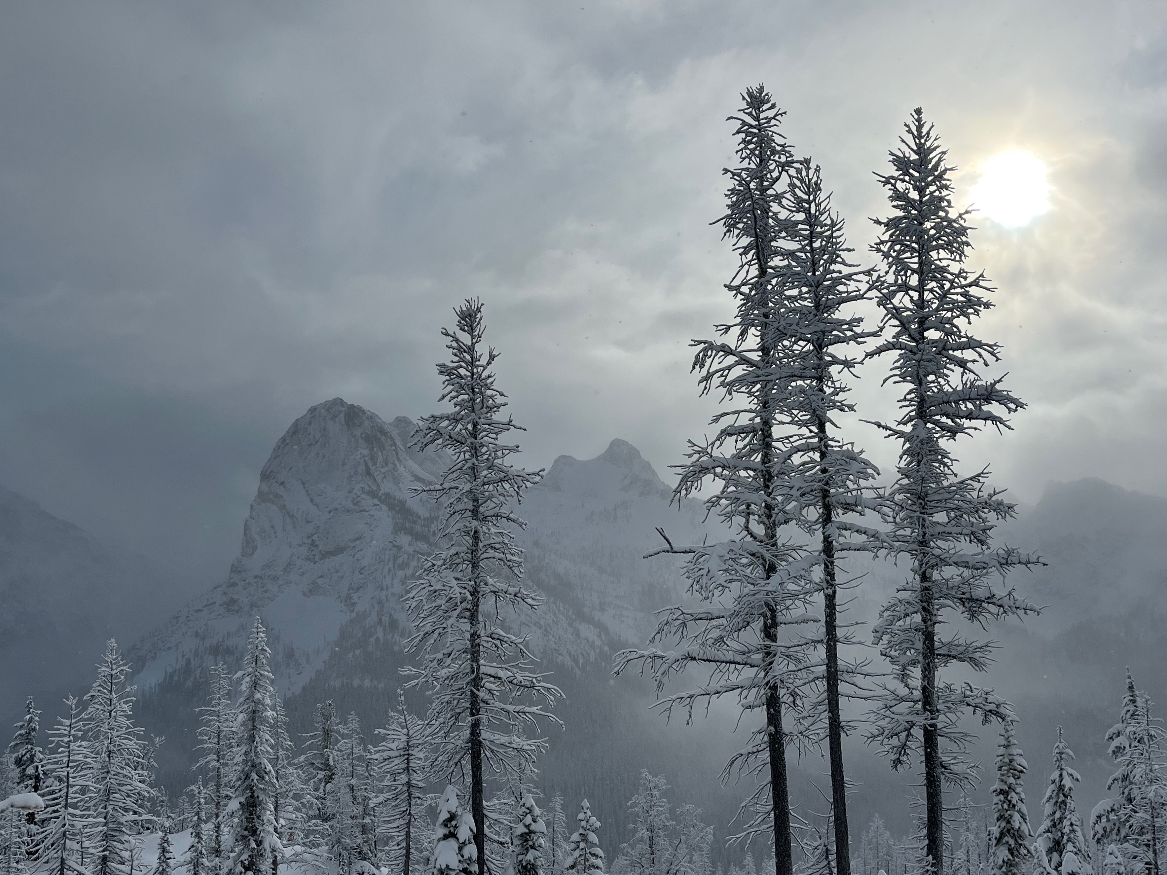
Light snowfall (s-1) persisted, off and on, through the AM hours with light and variable winds. We experienced some brief breaks of filtered sunshine, but skies remained predominantly overcast to obscured. The early PM saw some moderate and gusty E winds at ridgecrest that were beginning to transport some of the low-density storm snow. Our skin track was obscured in the alpine, with < 1 hr. of wind transport. Near and Below Treeline, steeper solar slopes experienced some warming of snow surfaces and some settlement of storm snow.
Snowpack
New snow accumulations increased quite a bit, with westward travel and increasing elevation. Perhaps a couple of cms at Silver Star, 10cms at the Hairpin, and 20cms at Blue Lake TH. Above ~ 6000' we found an average of 30cm storm snow, with up to 35cm in favored locations.
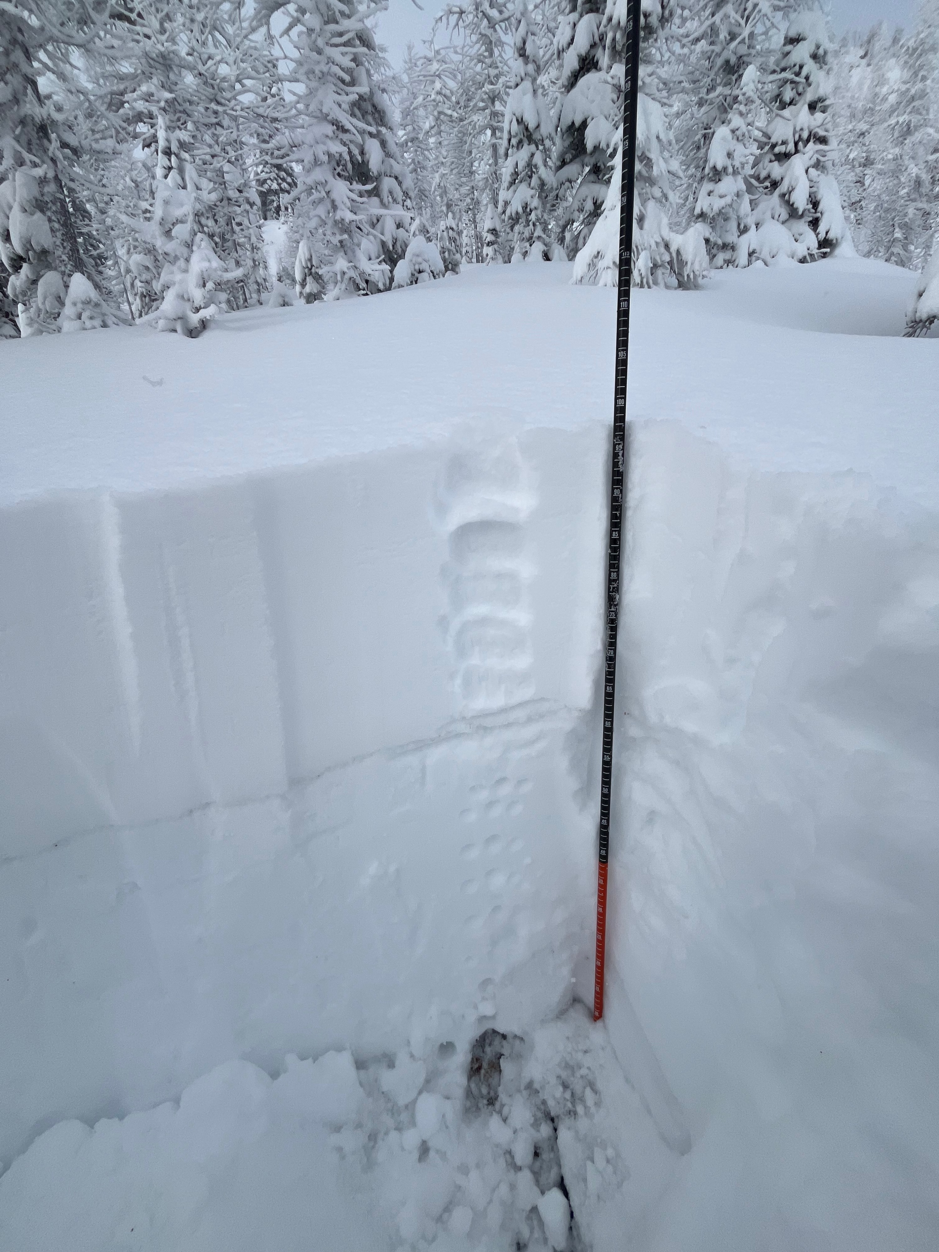
A profile at 6600' on an E aspect showed the following:
Total snow depth: 95cm Storm Snow: 35cm
The 12/7 melt-freeze crust was < 1cm thick, 1F- in hardness, and well-bonded to overlying storm snow. Below this, ~60cm moist rounds extended to the ground.
Stability tests were unremarkable, with no discernible interfaces of concern. The lower pack had apparently been transformed into an almost spring snowpack, through the previous days of anomalous upper elevation warmth, followed by rain early in the storm.