
Weather
- Air Temp
- 28
- Cloud Cover
- overcast
- Wind Loading
- previous
- Rain Elevation
- 8000
- Recent Snowfall
- 16
- Snow Avail For Transport
- small smounts
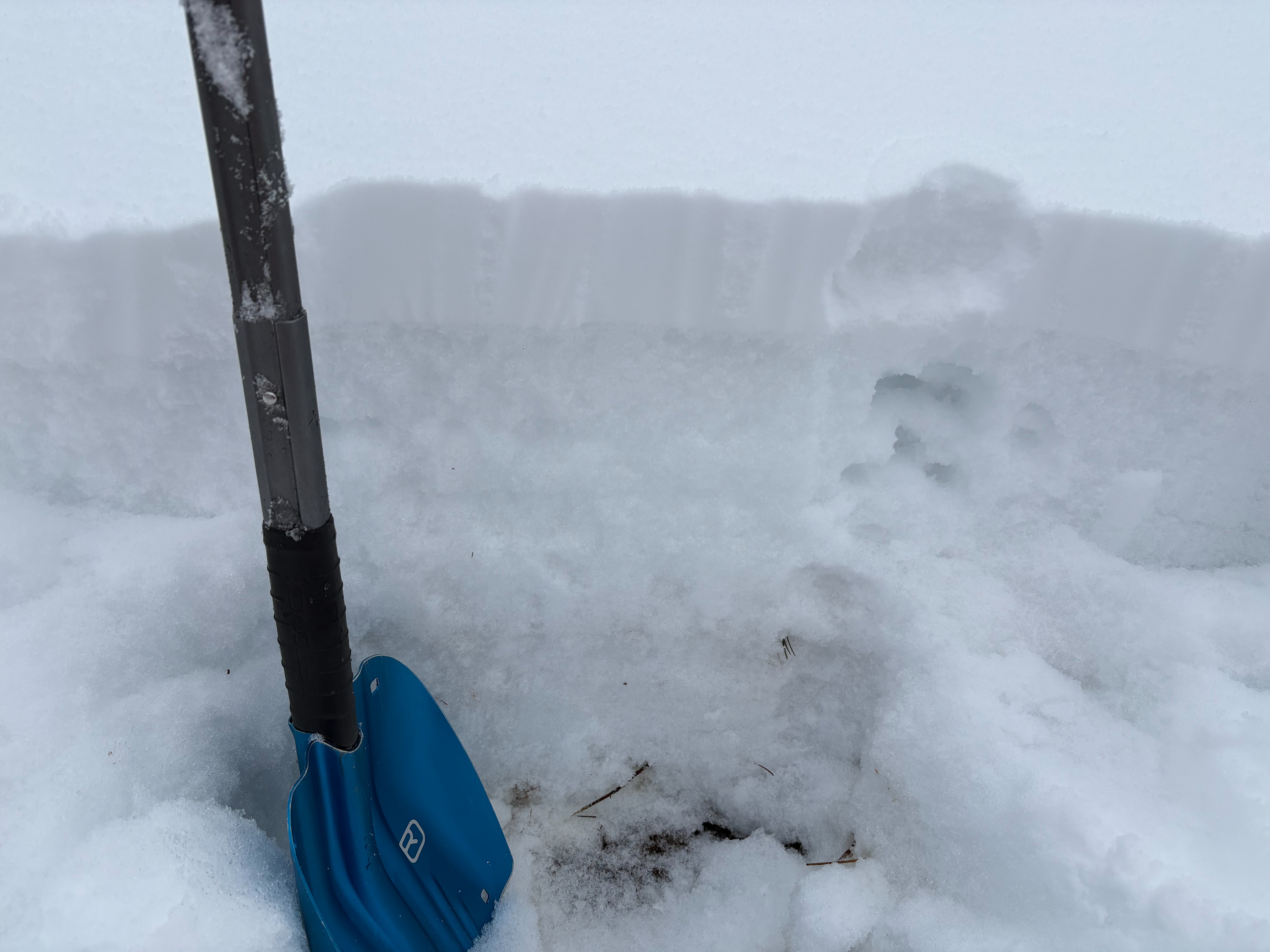
Cloudy skies with decreasing SW winds throughout the morning hours. Around 4 to 6'' of new snow above 9000'. Snow turned to rain yesterday evening with a thin rain crust up to 9400'.
Snowpack
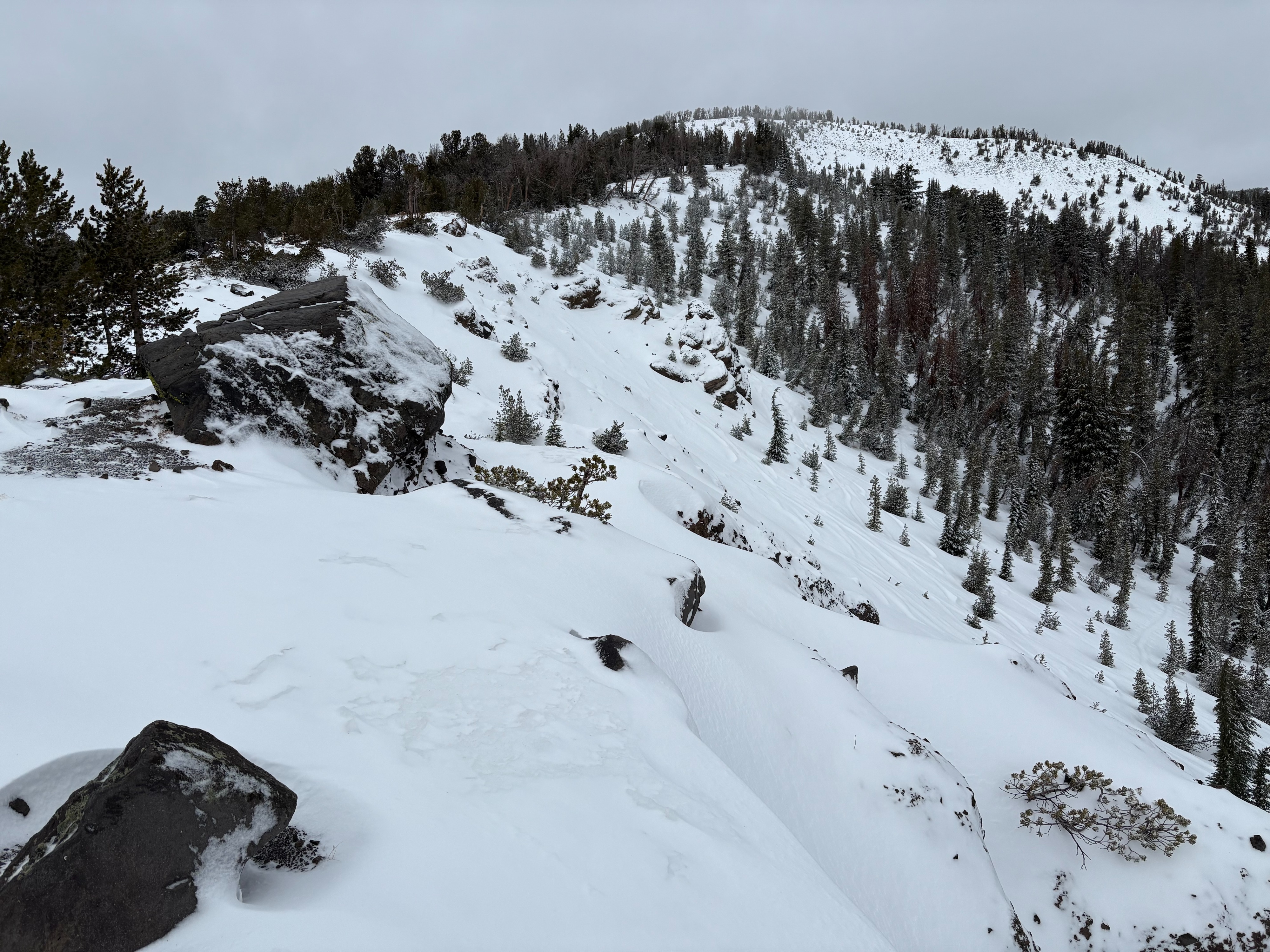
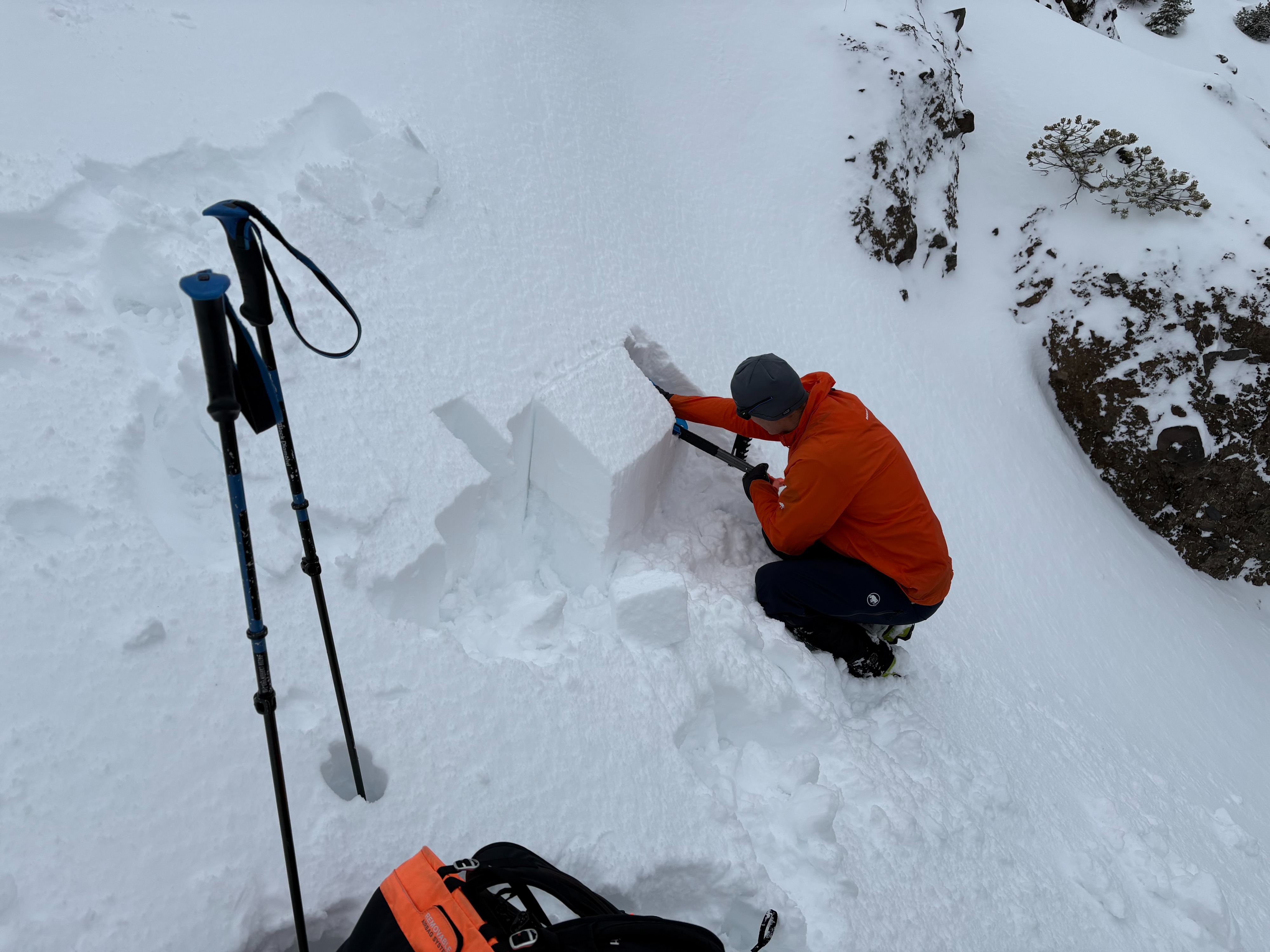
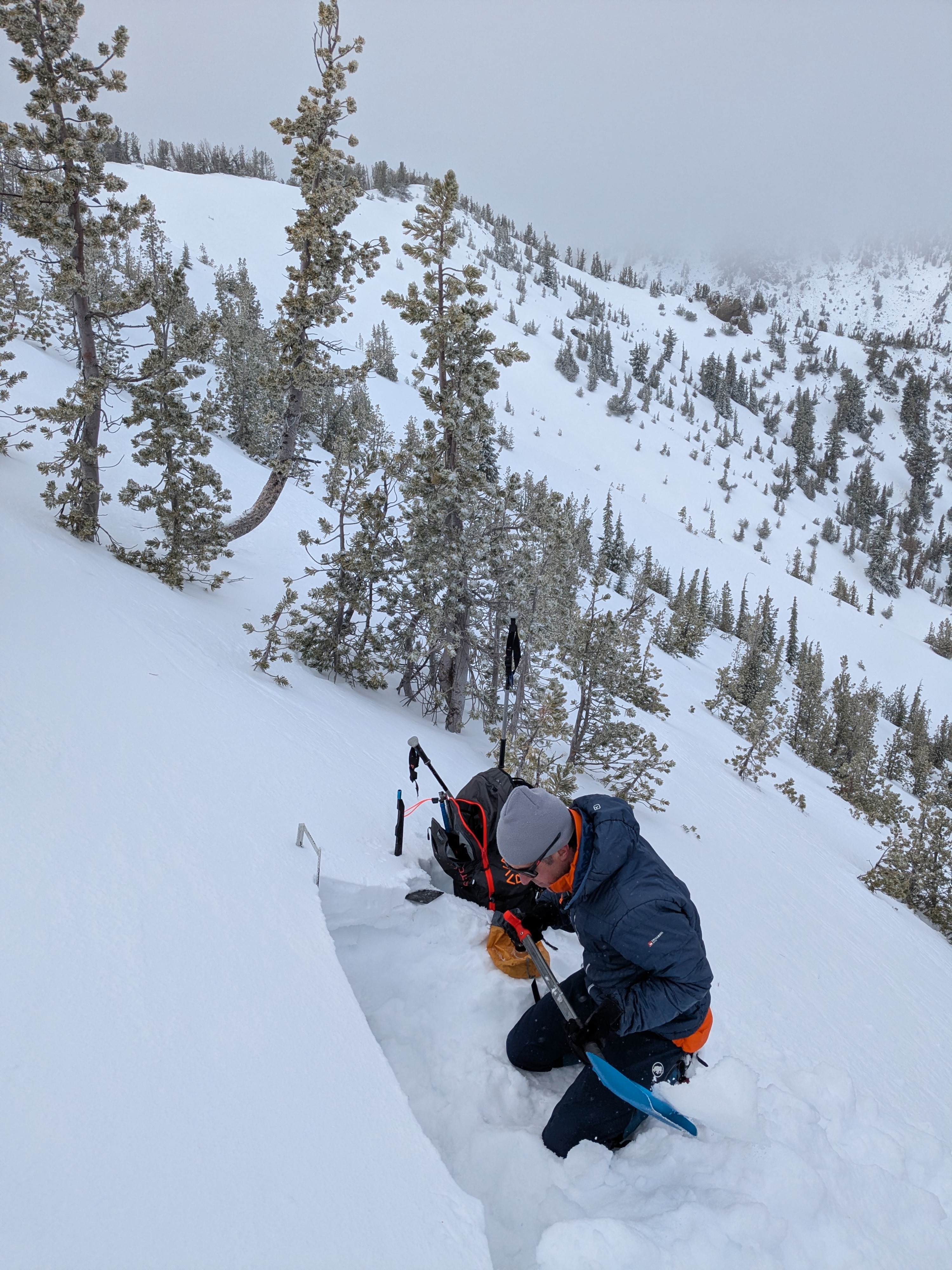
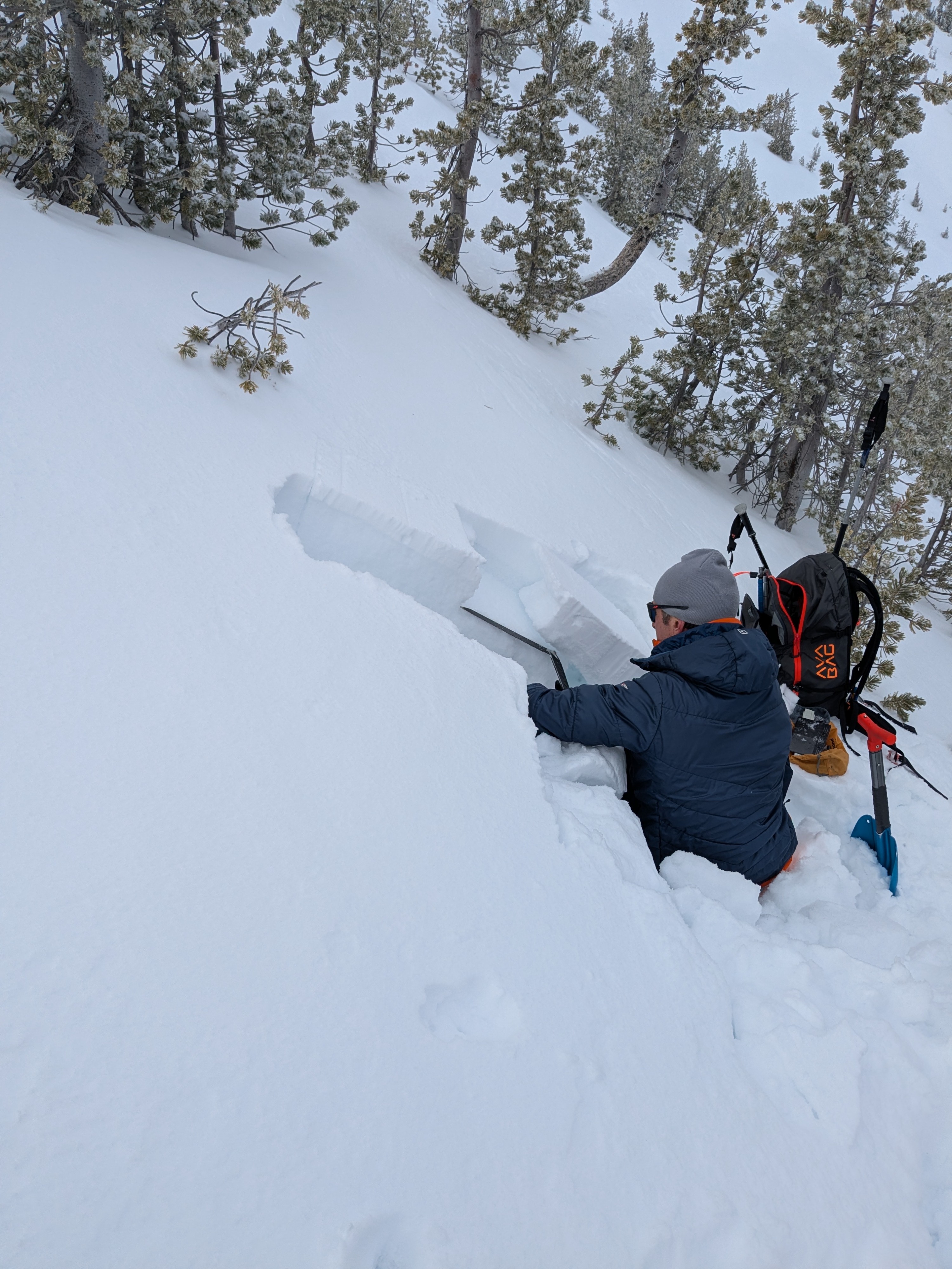
We went to Tamarack Peak today to make snowpack observations. We dug snowpits and did snowpack tests at different elevation bands throughout the area to get an idea of how the snowpack will react to additional loading over the next couple days. Around 4-6'' of new snow fell in this area yesterday before temperatures warmed and some rain fell. A thin rain crust was found in all areas up to 9300' and was also found at our pit location just below 9800'. The upper snowpack is highly variable throughout this area. Before this recent storm yesterday anothersurface rain crust existed over weaker faceted snow. The strength of this rain crust and of the facets below vary considerably from slope to slope, but mostly exist on NW-N-NE aspects above 9000'. The rain last week didn't penetrate through this faceted layer at elevations mostly above 9000' so the layer still exists. Rapid loading of these weak layers with our next storm from Saturday night through Monday remains a concern for large avalanches occurring.