
Quick report
- Cracking
- Observed
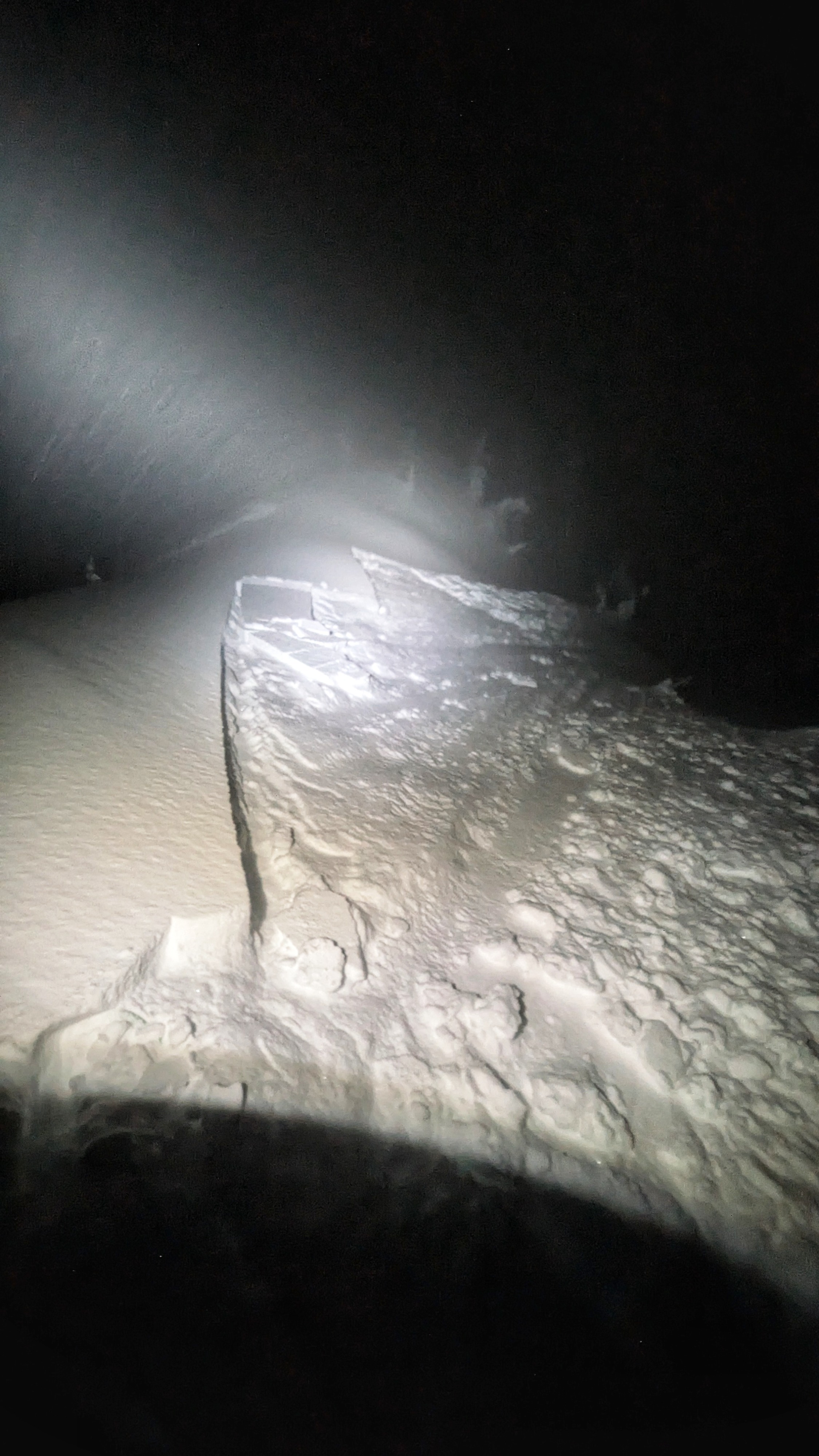
This was an evening walk to stretch the legs, check in on the new snow, and make some turns before temps warmed and the snow became upside-down. I was also curious to see if the rain crust that formed on 12/17 and that I'd observed up to 9,200' on Abe's also formed here (It did). I found the 12/17 rain crust all the way to the top of the mountain. The rain crust that formed on 12/9 also extends to the top, as observed on 12/11. The 12/9 crust is much stouter and thicker than the 12/17. These crusts are separated by ~4-5 inches of snow up high, and are co-located down lower. There were about 8-9" of new snow on top of the 12/17 rain crust by the time I exited the field around 9 PM. I intentionally triggered several slab avalanches that failed above this crust and ran quickly on top of the crust. I did not experience any obvious signs of instability involving the late-November facets, but I traveled with the knowledge that avalanches on this layer were a possibility. Snow was turning over to rain on my drive back south. It was steadily raining below ~6,500'. Yuck. The next rain crust.
Avalanche
- Size
- D1.5
- Aspect
- NE
- Trigger
- AS
- Elevation
- 8800 ft
Intentionally triggered several slabs that failed immediately above the 12/17 rain crust. 8,600-8,800'. NE-N aspects. ASc