
Quick report
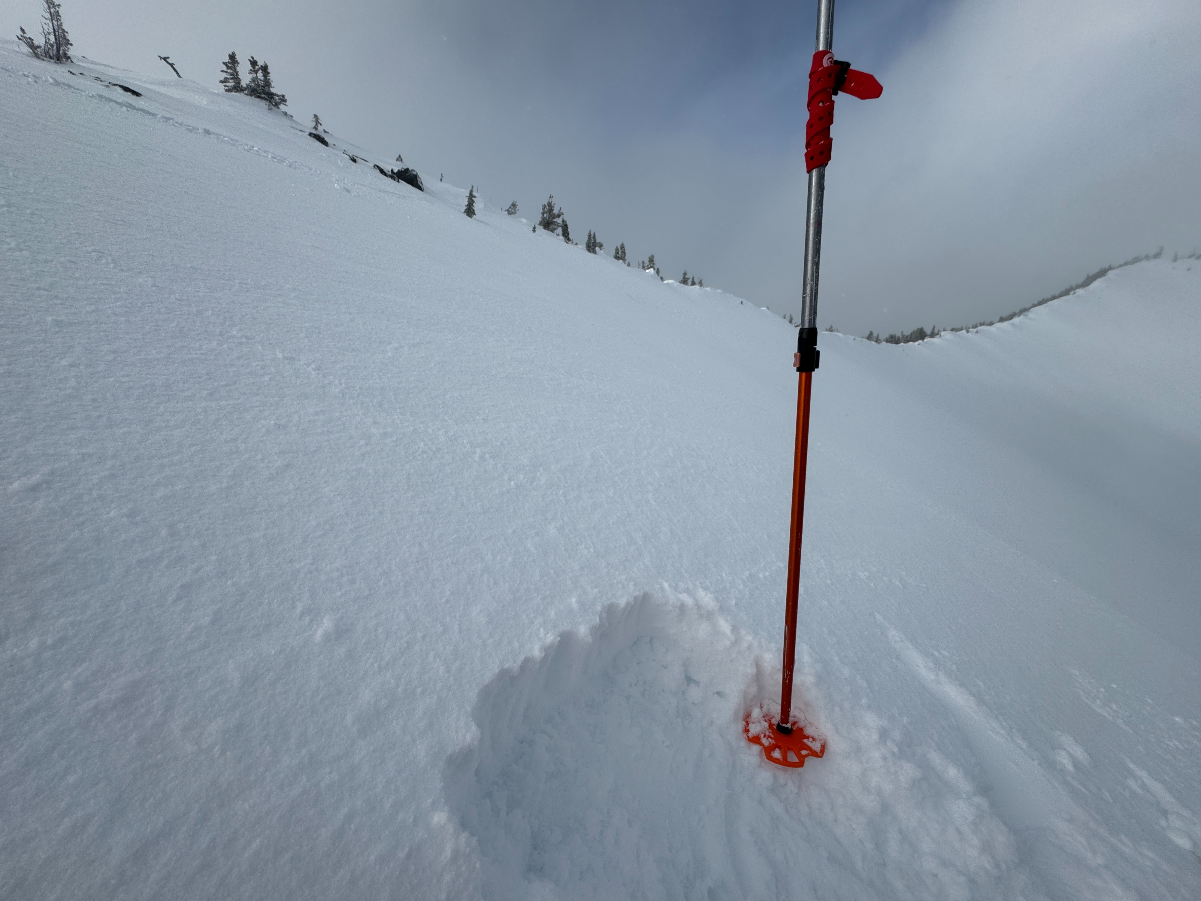
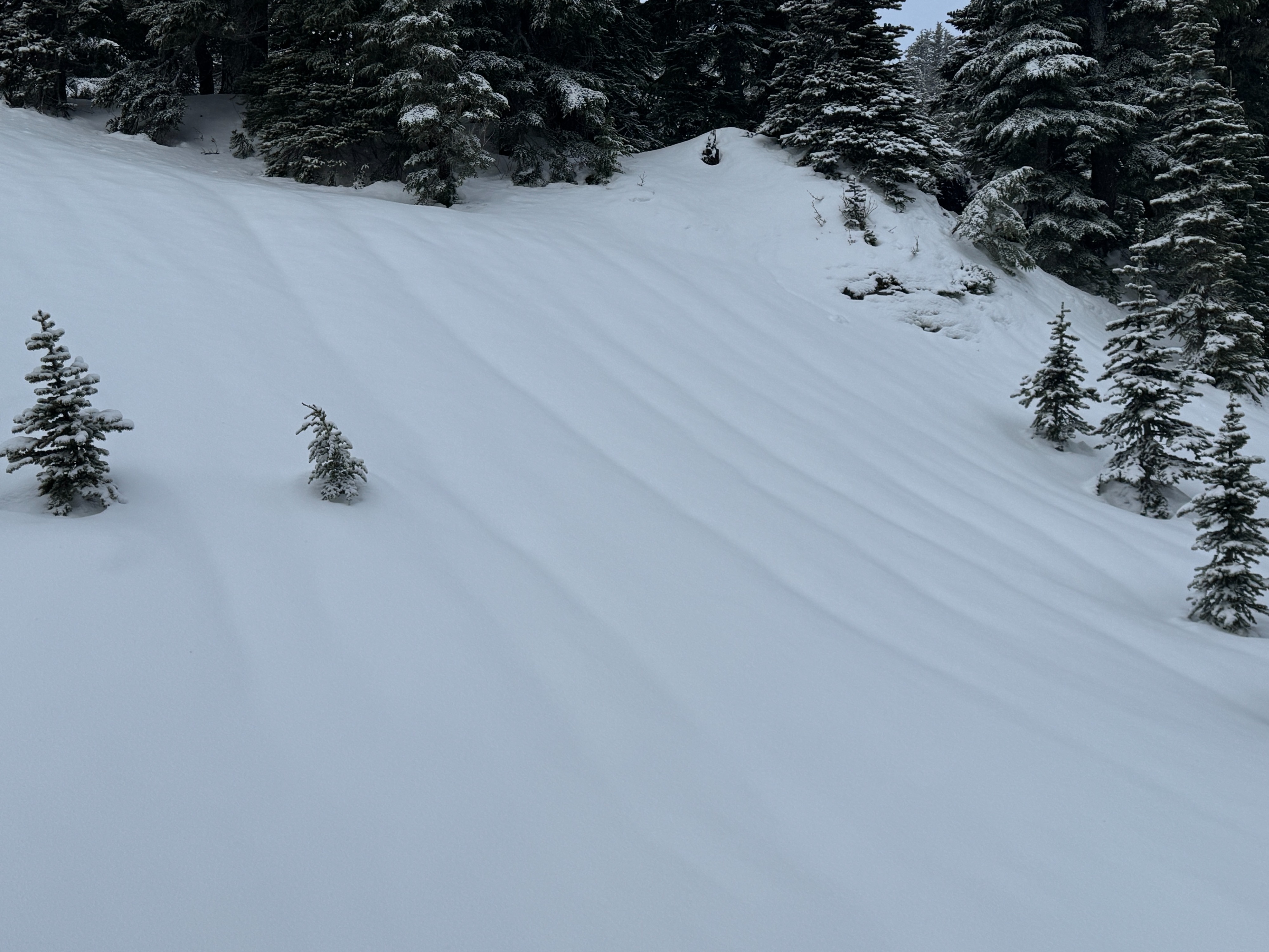
Snowlevels are dropping, and it's a bit more winter-like at middle and upper elevations than it's been since last weekend. The couple of inches of new snow was forming small thin wind slabs, but in general, we couldn't get them to budge on small test slopes or with snowpack tests. These few inches over a still soft, but strengthening, crust made for fun, smooth travel.
At lower elevations, a nasty breakable crust in open areas didn't soften despite the warmer temperatures.
Weather
- Cloud Cover
- broken
- Wind Loading
- light
- Rain Elevation
- 5600
- Recent Snowfall
- 5
- Snow Avail For Transport
- small smounts
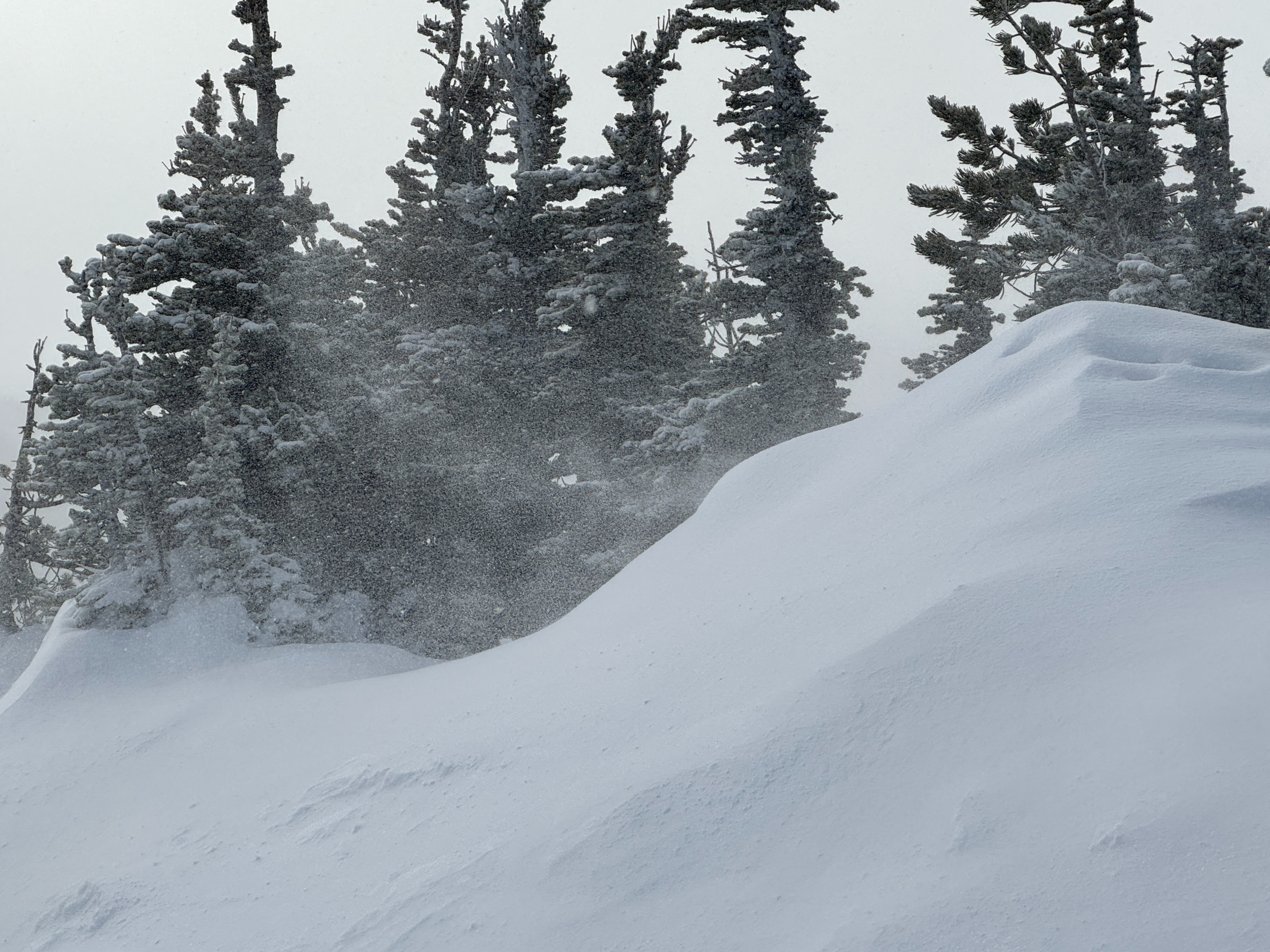
Occasional light snow showers interspersed with patches of blue sky and some filtered sunshine. SSW winds were extremely gusty. One minute it was calm, then next, blowing hard.
Snowpack
It's sort of a tale of two elevation bands out there... Above the rain-snow line (~5500ft) and below.
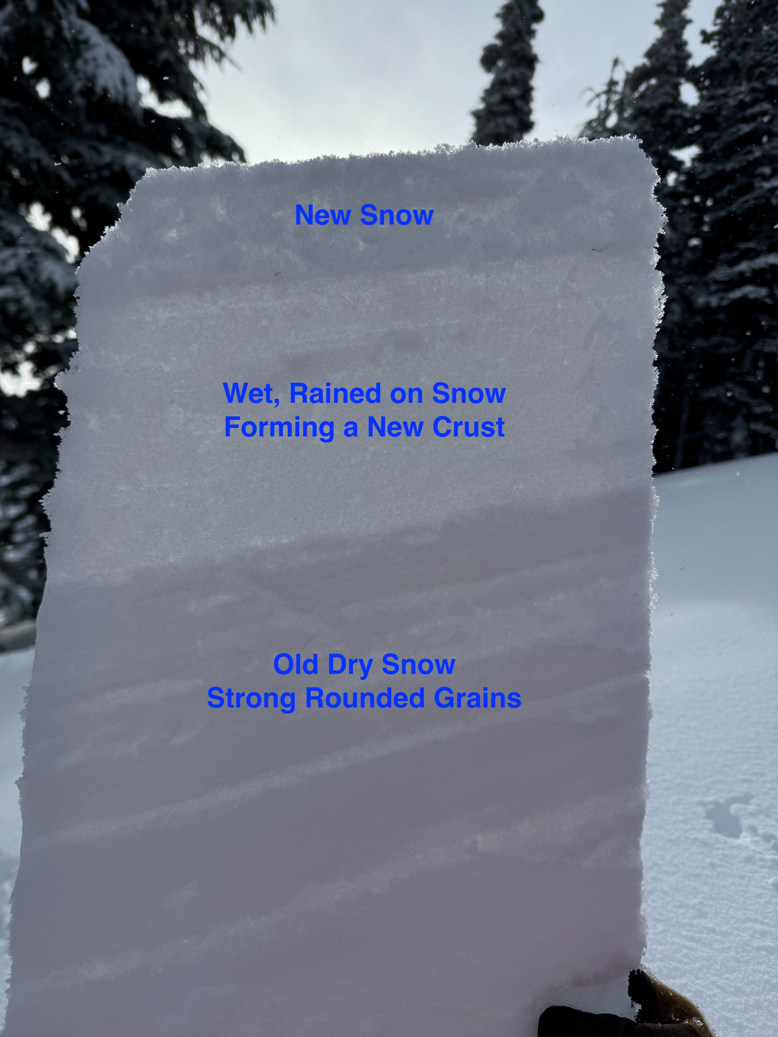
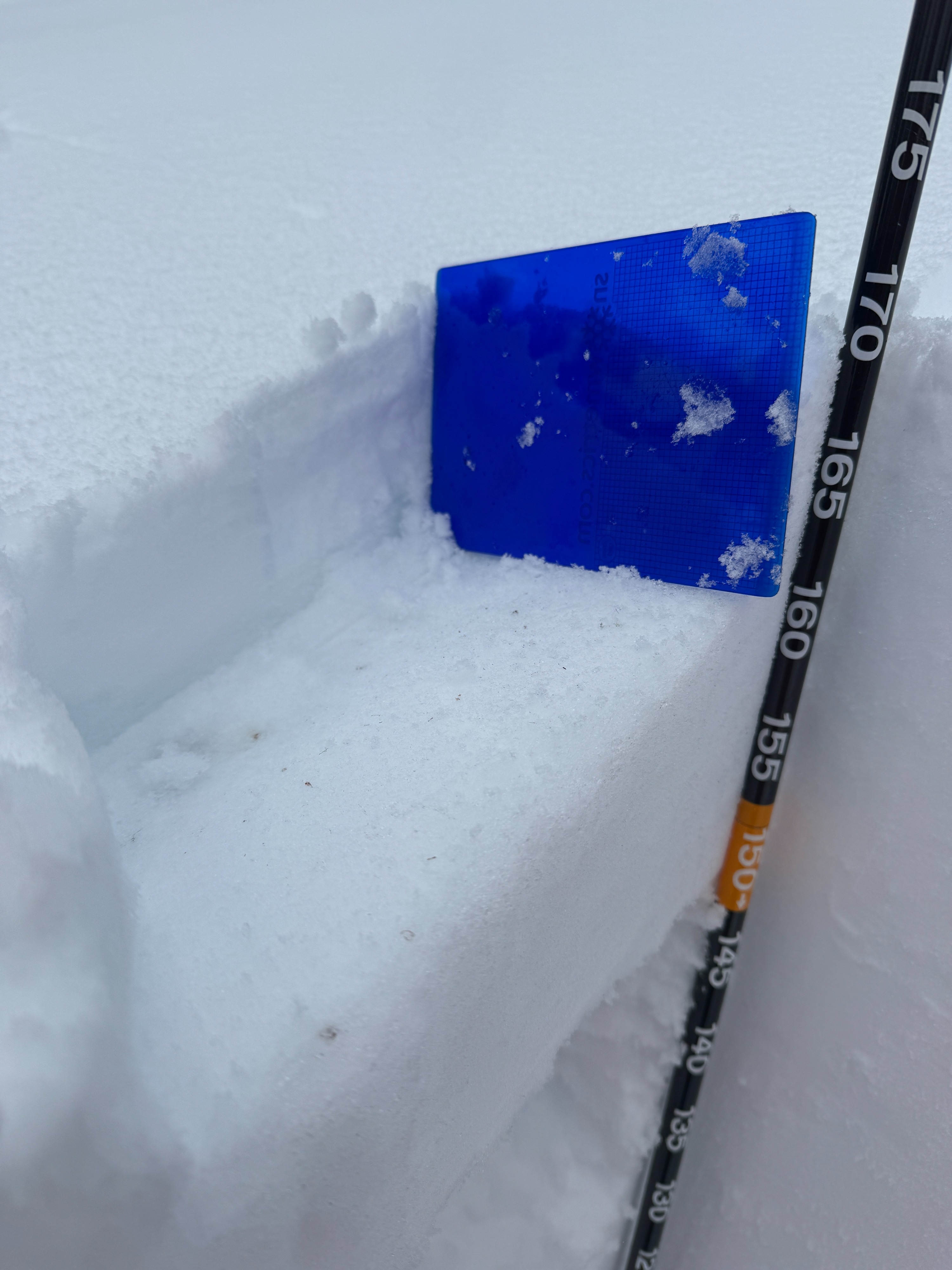
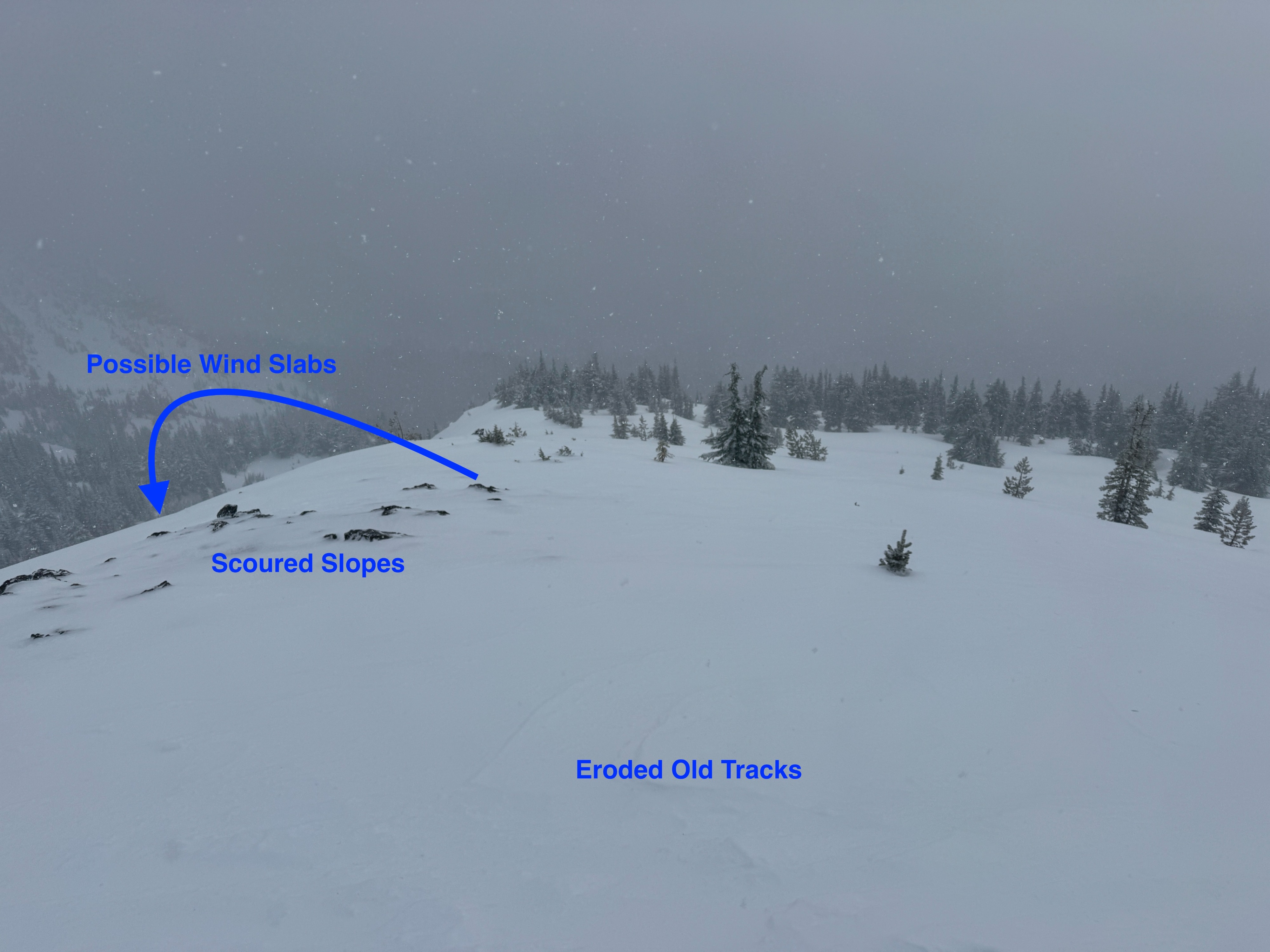
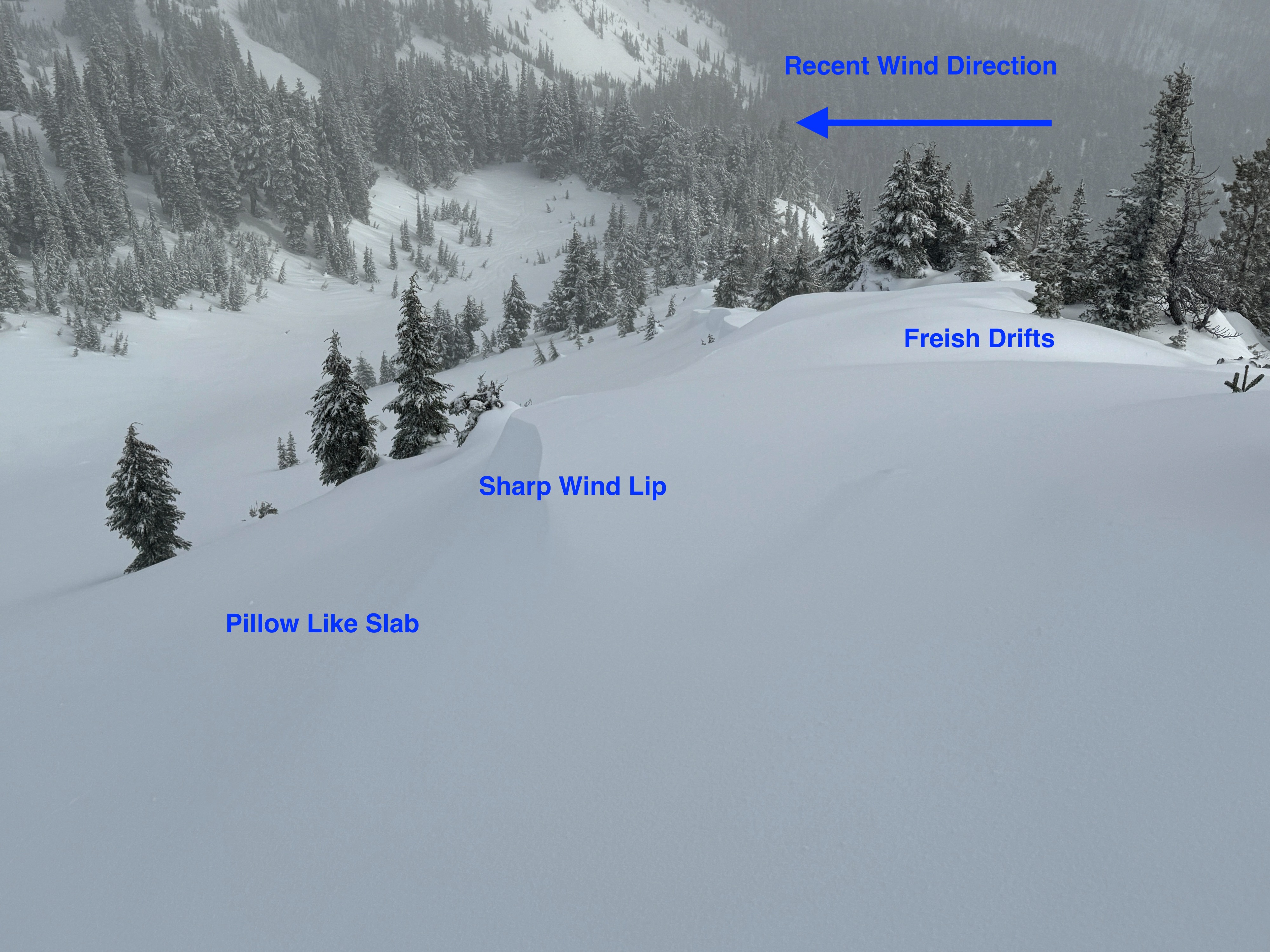
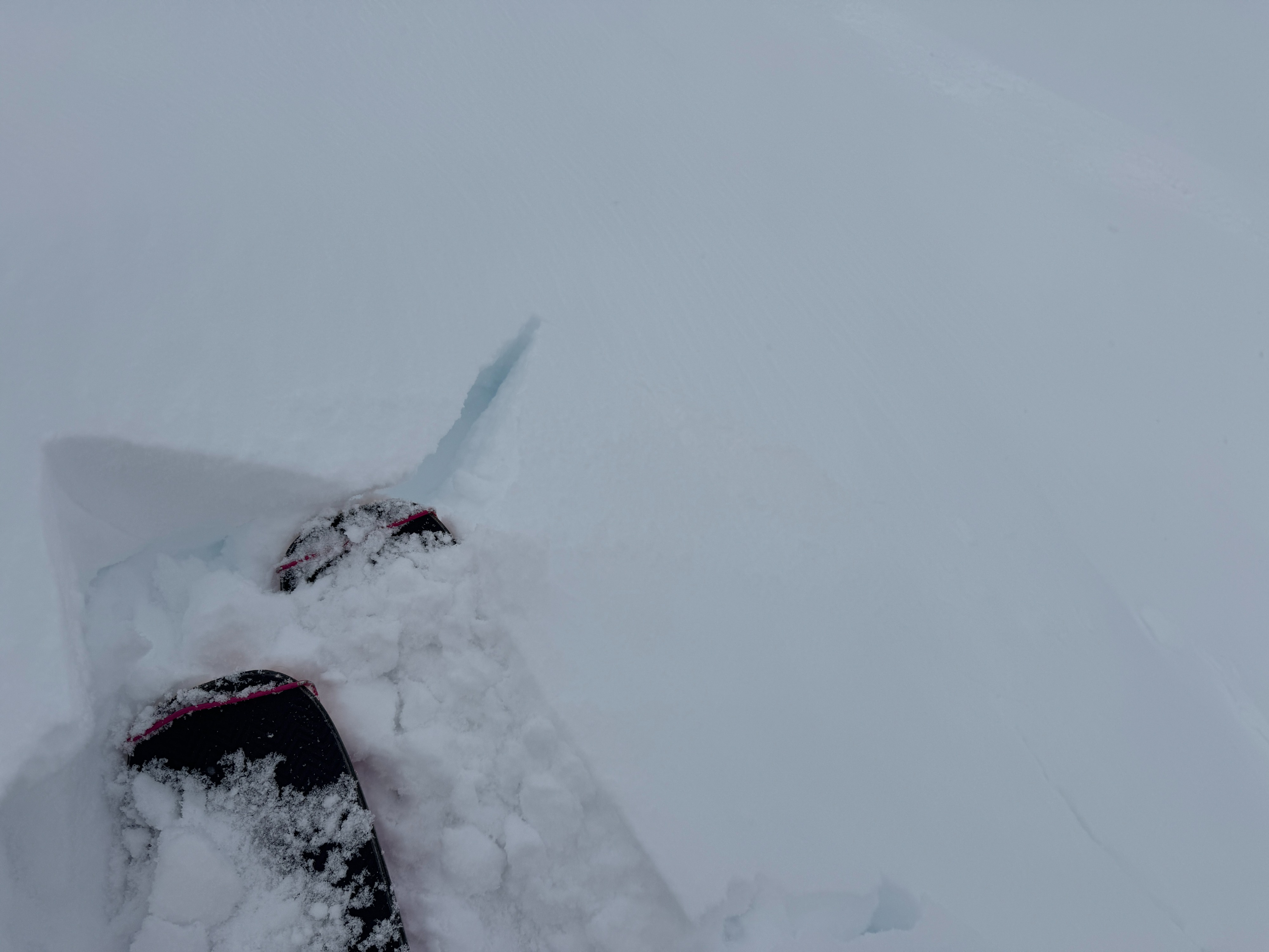
For the middle and upper elevations we found about 2-3 inches (5-7cm) of new snow sitting over the wet rained on snow from Firday 1/2. The wet snow is starting to form a new crust, but it's still very soft and weak where it's buried. Where the wind has exposed this layer, it froze more quickly. SSW winds were easily moving the new snow, stripping ridgelines, forming drifts, and creating shallow pillow-like wind slabs on lee slopes. Some of these deposits were 6-8 inches (15-20cm) deep. Only a few small test slopes produced short isolated cracks in the wind drifted snow. Most other slopes didn't produce any notable results. When we investigated with hand pits and hand shears, the slabs were 'glued' to the underlying crust.
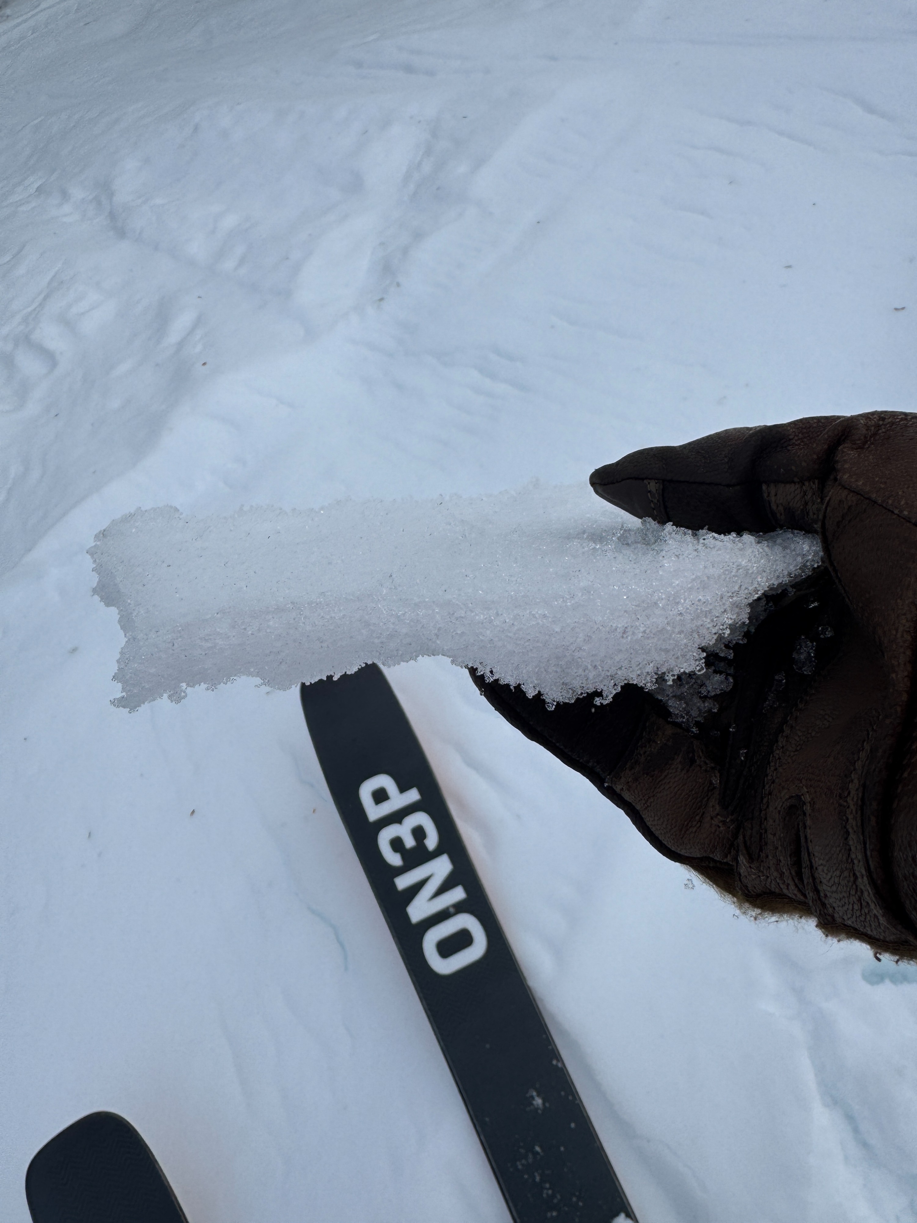
Friday's rain seemed to reach all the way to ridgecrest (6750ft). Runnels and a few rollerballs showed the impacts of the rain on the upper snowpack. We typically found about 4-6 inches (10-15cm) of wet snow just below the surface.
A snow profile at 6500ft (NE aspect), fell in line with what we expected, the snowpack is generally strong, warm, and well settled. You can still see the 12/24, 12/18, and Mid-Dec crusts, but they don't appear to be much of a concern in this location.
Below about 5500ft, it's still warm. A breakable melt freeze crust formed from rain Thursday. This icy layer is minimizing any avalanche issues, even though it's making travel more hazardous.
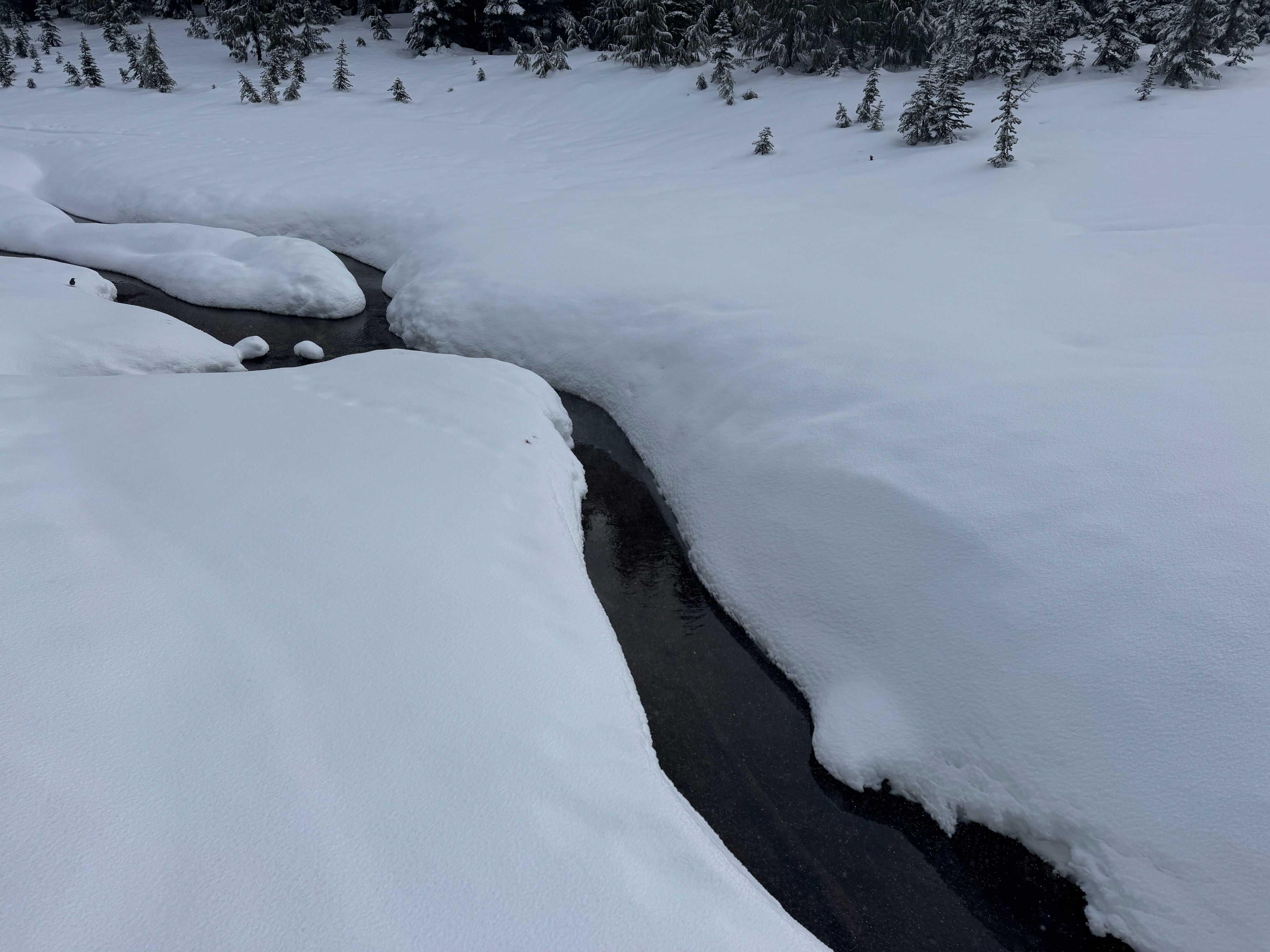
Overall, the warm and then wet weather of the past several days took its toll on the snowpack. Creeks, bushes, and rocks that were starting to disappear have reemerged.
Avalanche
No recent avalanches noted.