
Quick report
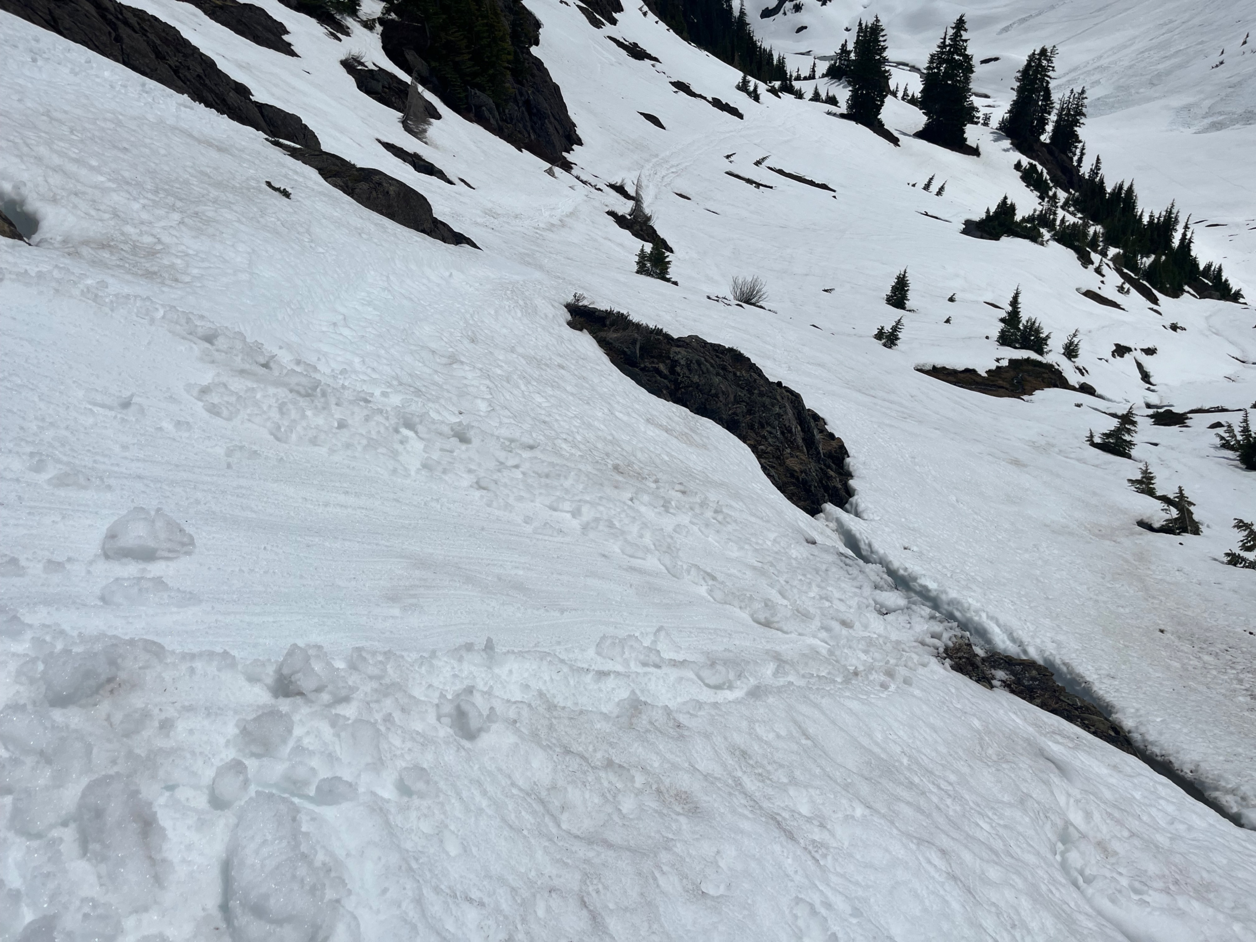
We're in a typical spring cycle with diurnal softening and some amount of freezing or firming up overnight. Snow remained supportable all day, although on slopes facing the sun they softened several inches. As is typical right now, the snowpack is rapidly shrinking. Slopes with trees and rock features are mostly melted out, but smooth snow-covered slopes are still hanging on surprisingly well.
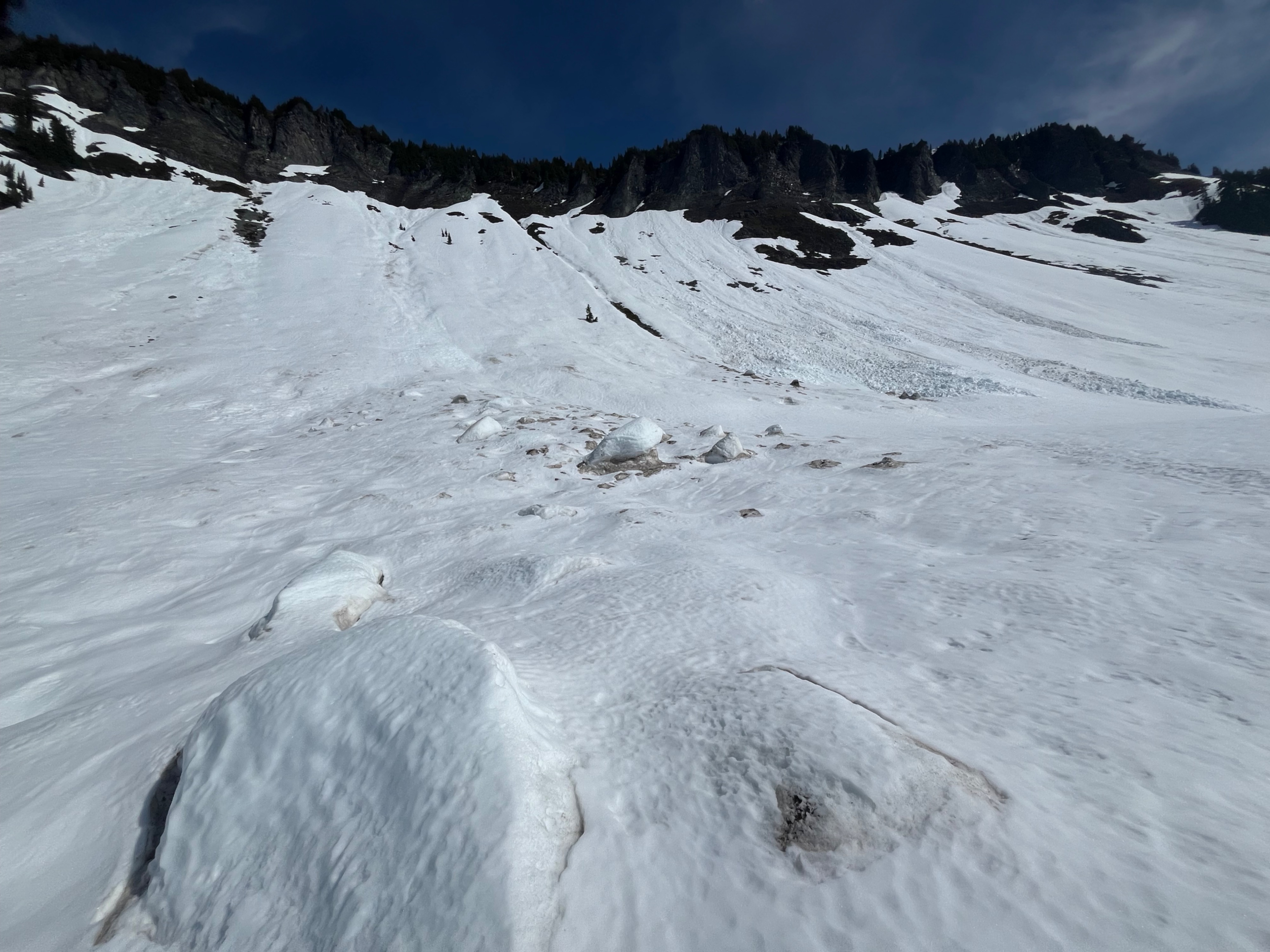
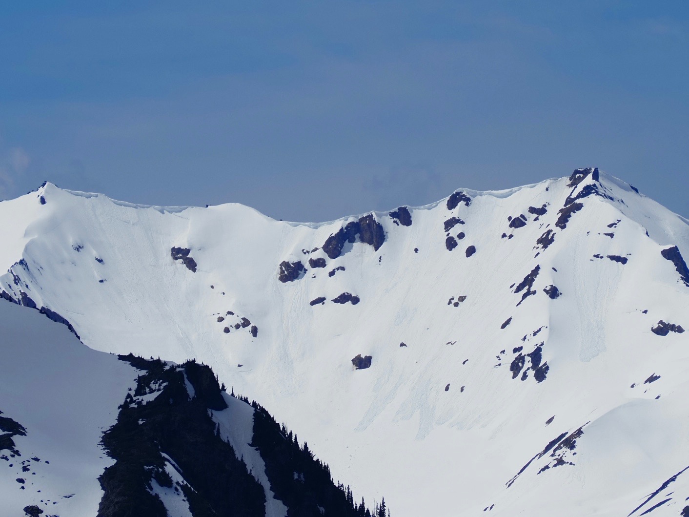
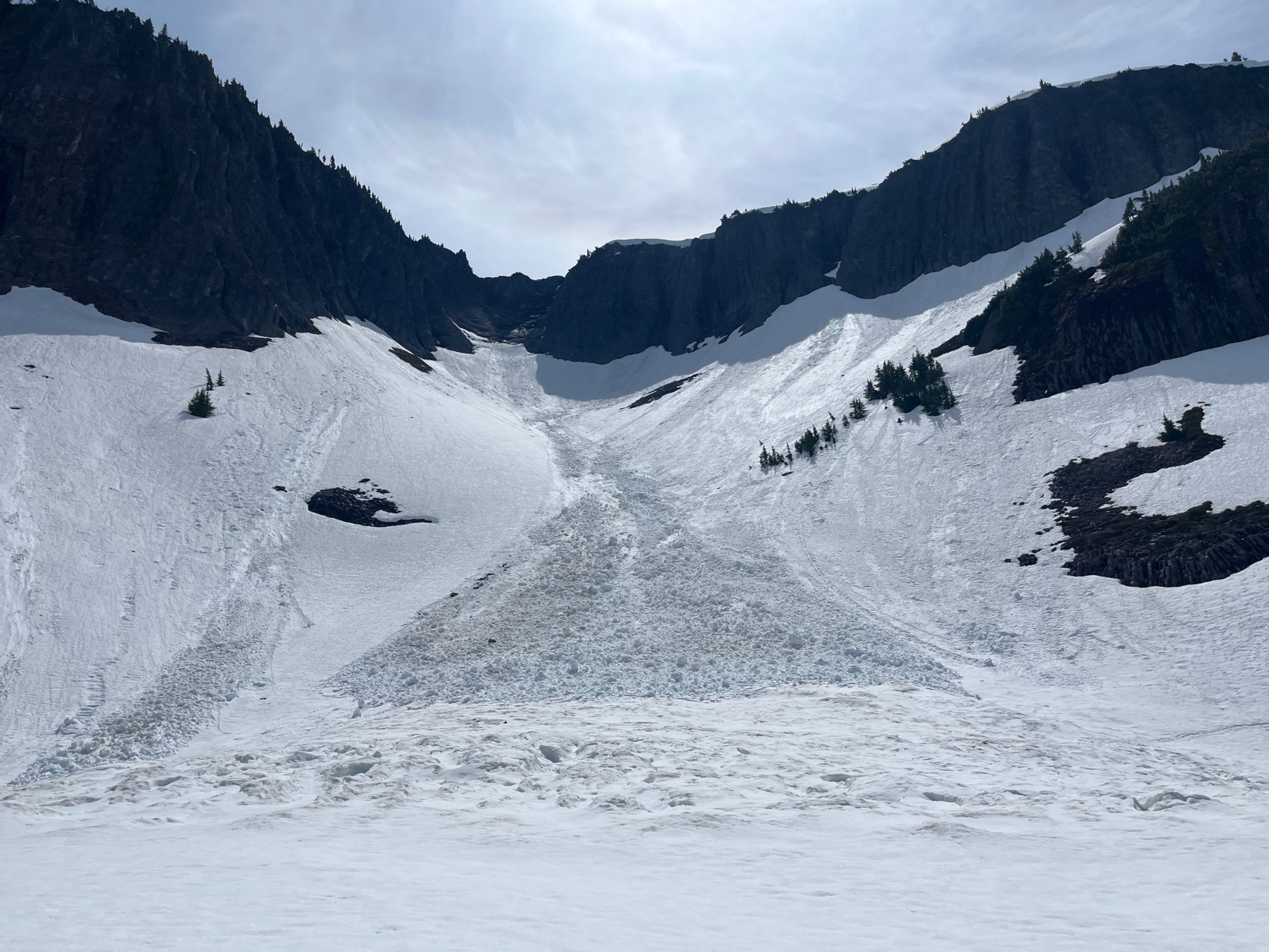
I didn't observe any new avalanches, cornice or other chunks of snow falling, although a few overhanging cornices and glide cracks still exist out there. Most steep slopes had old avalanches, most appearing as loose, that likely happened May 17-18th during initial warmup after recieving 2" water (1+ ft of snow). Avalanches ranged from Small to Large (D1-D2).
Weather
- Air Temp
- 55
- Cloud Cover
- few
- Wind Loading
- light
- Recent Snowfall
- 0
- Snow Avail For Transport
- none
Hot and sunny. Completely clear morning, with increasing afternooon clouds. Light breeze felt at the saddle in the early afternoon. Otherwise calm. Almost 2" of water fell, predominantly on the 15th-16th. Heather Meadows recorded about a foot of snow, but there was likely more at higher elevations.
Snowpack
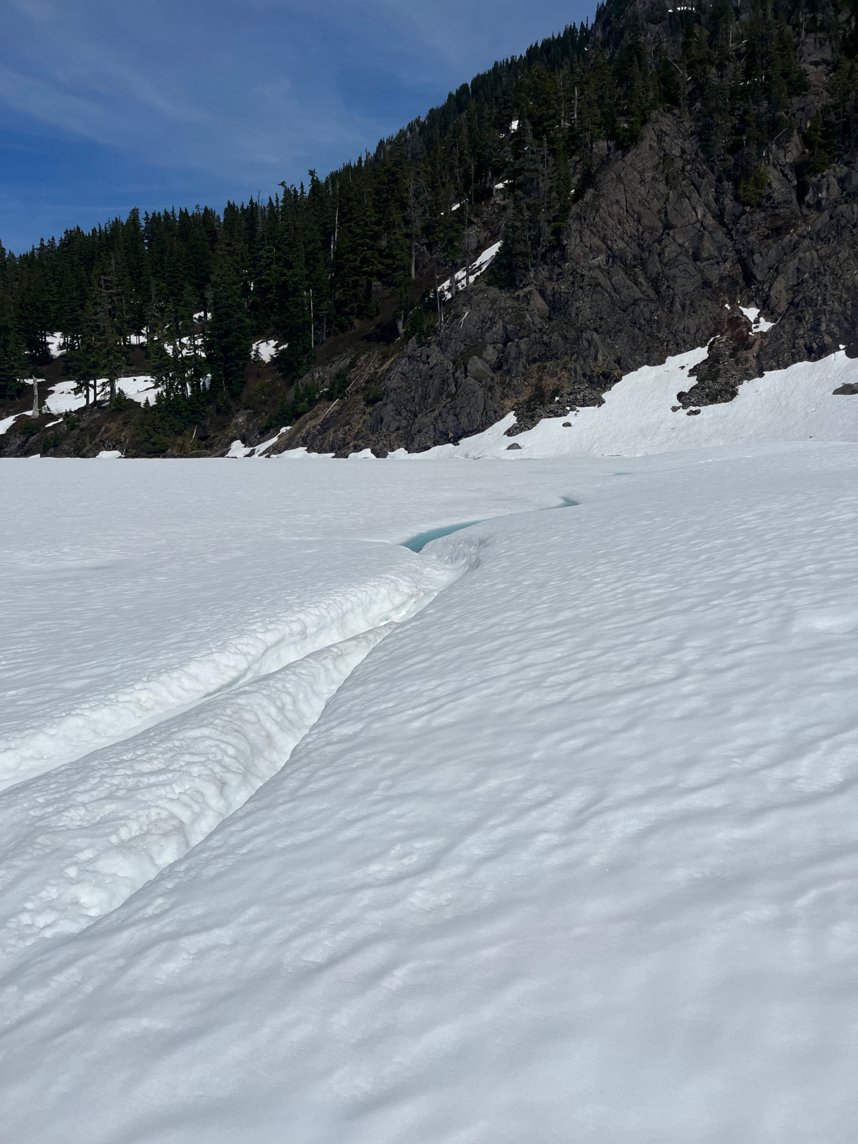
Consistent snow cover began at around Heather Meadows (4200'). Despite the more consistent cover, it remained highly variable and occasionally patchy for the entire journey, despite easily being able to complete the entire traverse with skis on the feet. Snow was melting out around rocks and trees at a rapid rate. Some swaths of thicker tree stands at over 5000ft were completely bare.
In general, northerlies were holding on to more snow, but even smooth, snow-covered south-facing slopes had surprisingly good coverage. Snow depths were all over the place, and a sampling around 5000ft on moderately wind-affected flat surfaces resulted in some depths deeper than the probe (300+cm), but averaged around 200cm, or 6ft.
The snow that predominantly fell on the 15th is well transitioned to large-grained melt forms on all surfaces. Snow remained supportable for skis on all aspects, and they only sunk in a maximum of a few inches. Feet never sunk in more than about 6 inches when I stepped off skis. Snow in the sun softened and became wet within minutes, but snow in shady areas stayed frozen during my outing.
Most notable were the recent avalanches that likely occurred near the end of the storm. Nearly all steep slopes had slid on all aspects, small and large in size, and many appeared loose. The closest thing to an avalanche that I was able to produce was a few inches of slush running down from my tracks when I skied across steep slopes.
Avalanche
Several old avalanches, likely from the 17-18th. Mostly small-large (D1-D2), and loose.