
Weather
- Cloud Cover
- few
- Wind Loading
- previous
- Recent Snowfall
- 40
- Snow Avail For Transport
- moderate amounts
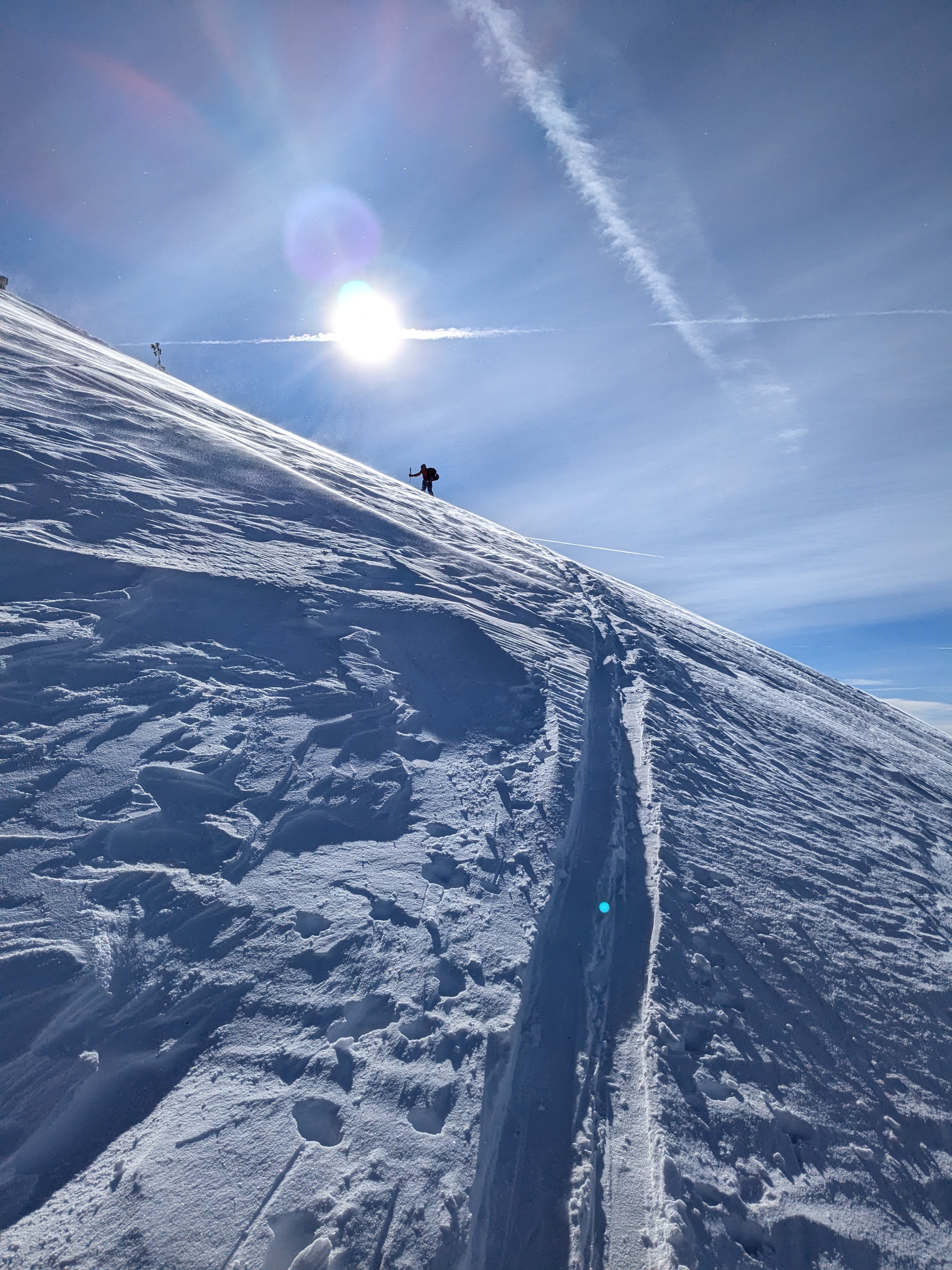
Up to 12'' of new storm snow existed in this area from yesterday's storm. Previous signs of blowing snow were present with built out cornices, wind slabs, and wind scoured surfaces. Minor blowing snow was visible today. Moderate amounts of snow are available in some areas if wind speeds increase above forecasted levels.
Snowpack
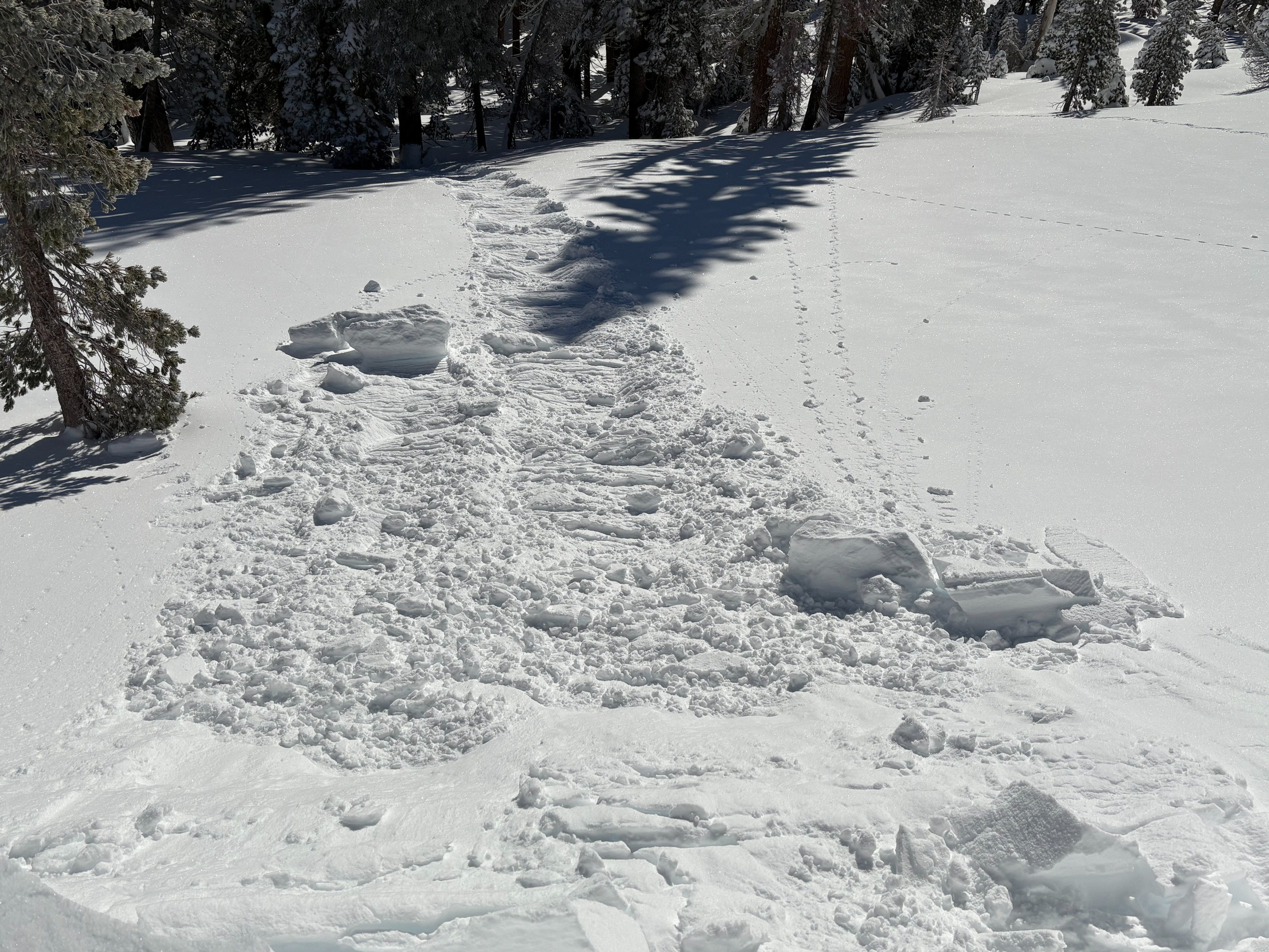
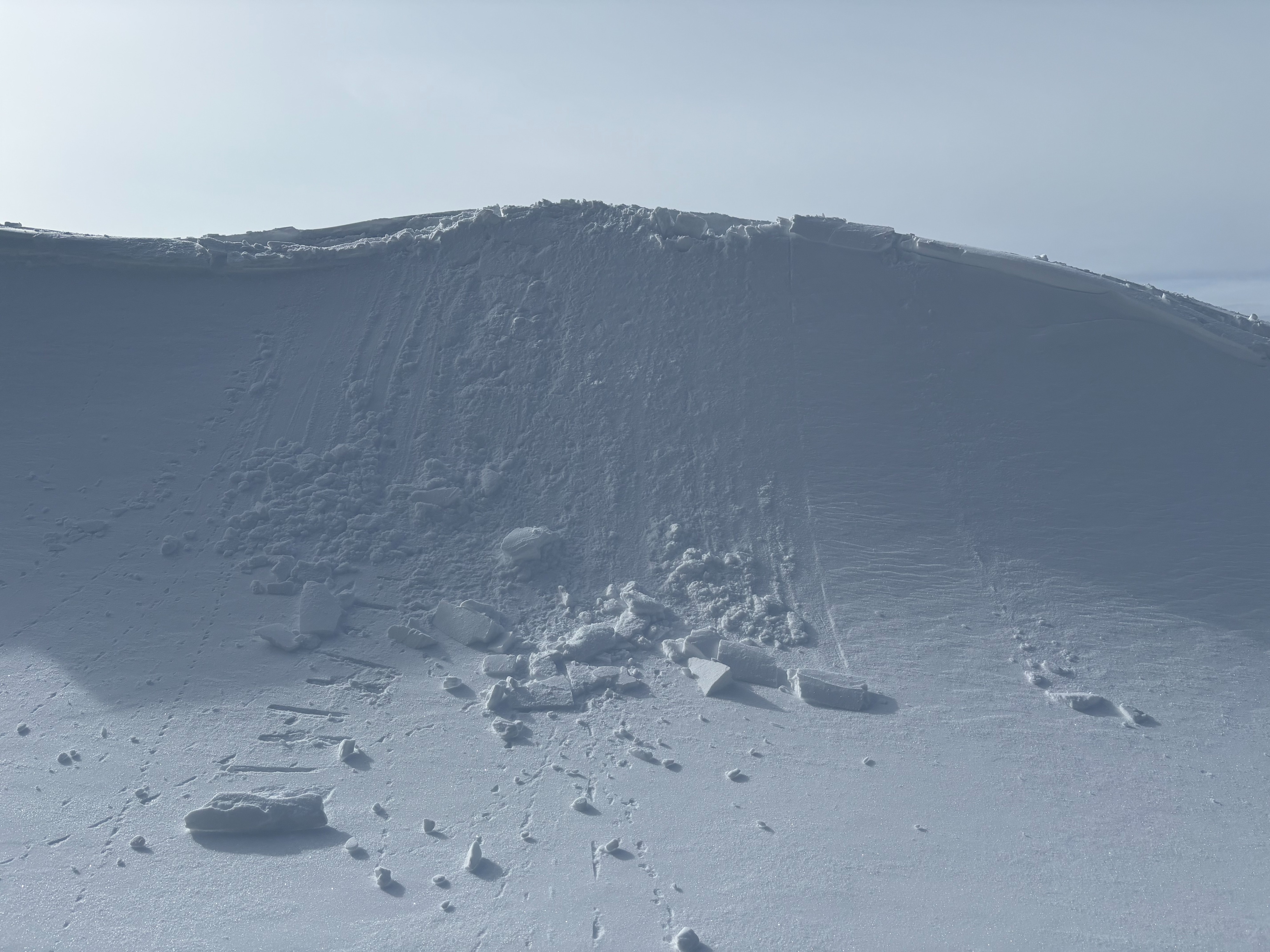
We went to Castle Peak today to take a look at the new snow. Up to 12'' of storm snow exists in this area with strong to gale force SW winds accompanying the storm yesterday into last night. Cornices were built out along ridges and would fail with ski kicks. Wind slabs did not show any reactivity throughout our tour with no cracking or signs of instabilities in wind loaded areas. Below this storm snow exists a firm rain crust. The bonding between the new snow and rain crust looks to be good at this point. This rain crust can be felt while traveling and has been wind scoured in exposed areas potentially leading to some tricky travel conditions.