
Quick report
- Cracking
- isolated
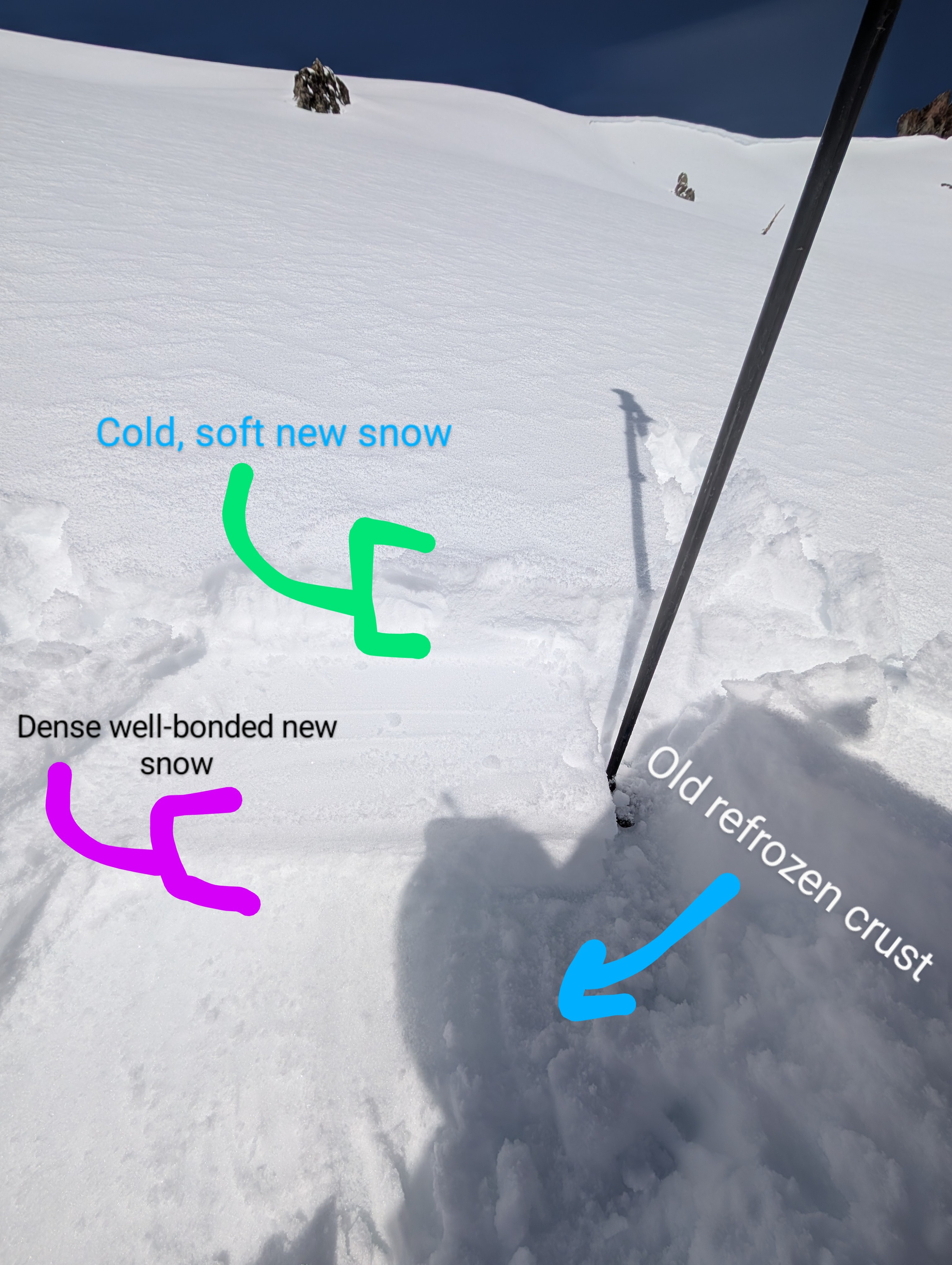
We explored the area around Castle Peak and Andesite Ridge today. One of the first things we noticed was how much recent snow existed in this area. This zone seems to have gotten more snow than almost everywhere else in the forecast area. We measured snow totals between 4 and 6 inches from the recent storm in sheltered areas. The recent snow felt right side up with dense well, bonded snow resting on a refrozen crust at the base and light cold snow at the top.
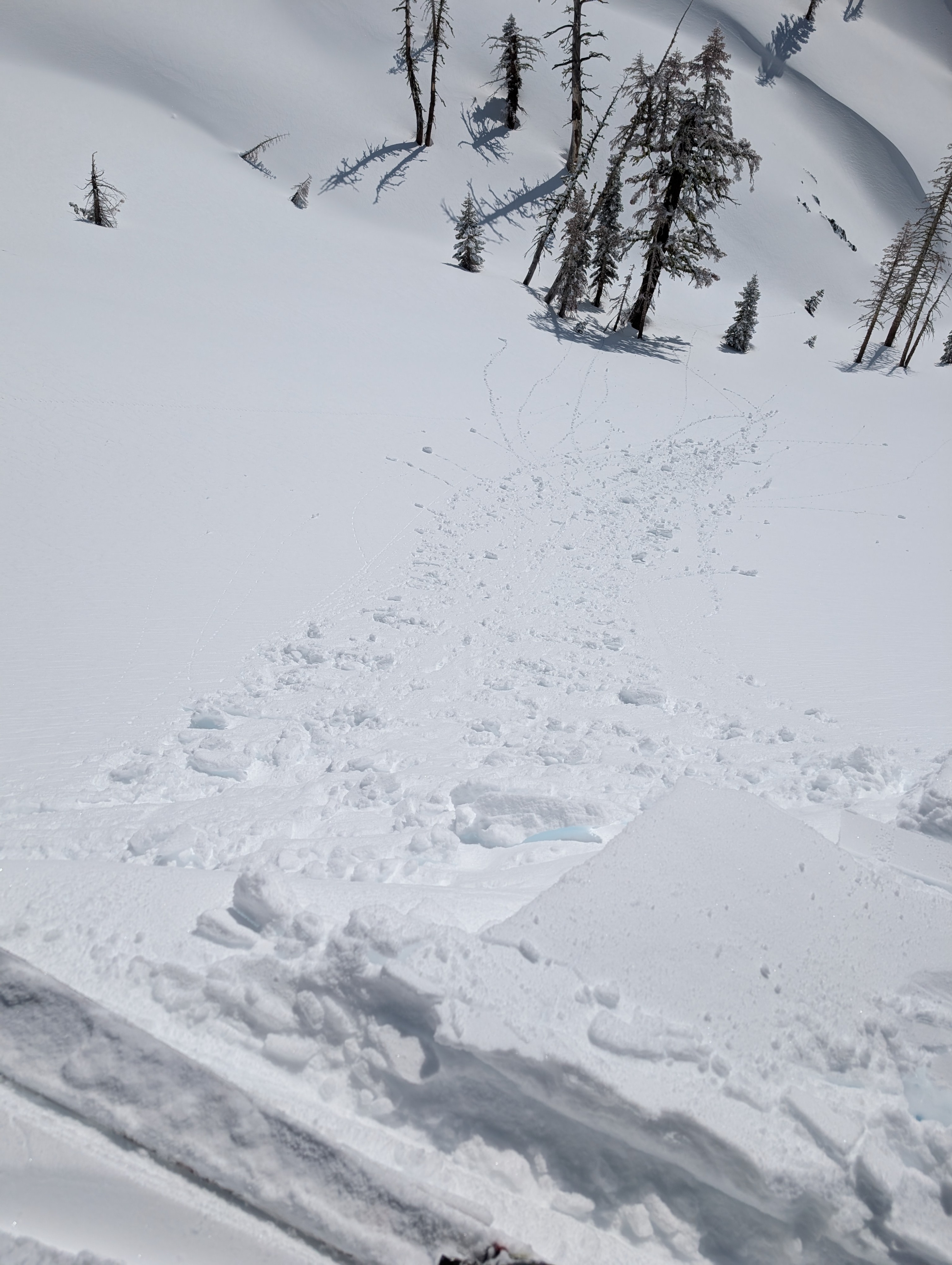
The snow remained cold on all aspects until about 11 am. At that time, the snow on some sunny E-SE-S-SW aspects got a bit heavier and felt slightly wet. We also started triggering small pinwheels, roller balls, and small sluffs of wet surface snow on those sunny slopes around that time.
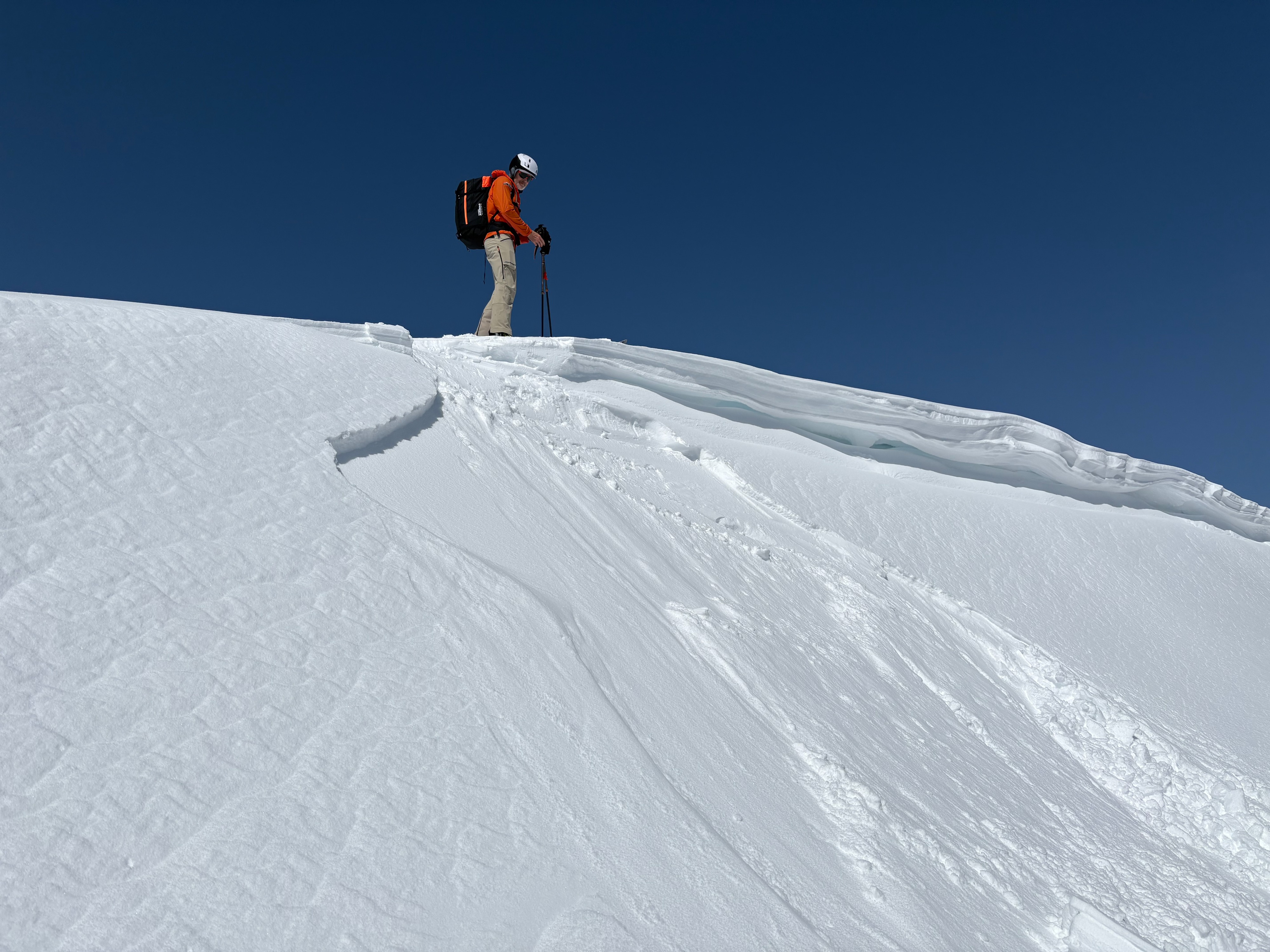
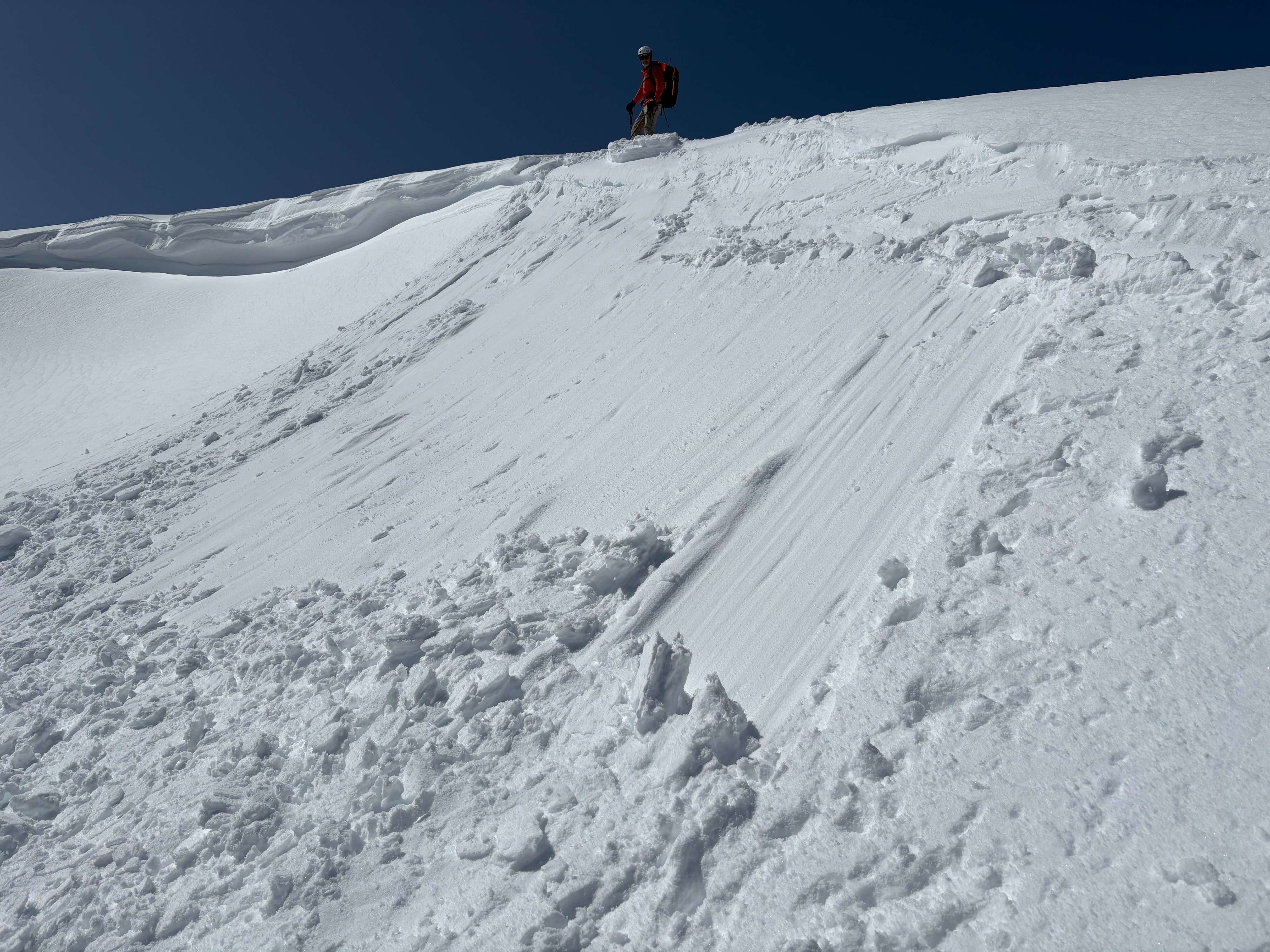
Cornices formed along the ridges in areas prone to wind-loading, with small wind slabs extending onto the slopes below them. Cornices above test slopes broke easily with ski kicks, but the falling cornice pieces did not trigger any signs of unstable wind slabs. Ski cuts on many test slopes also did not trigger cracking or wind slab failures except on one wind-loaded test slope near the summit of Andesite Peak, where a ski cut triggered a small wind slab failure on the slope below.
Ski kicks triggered a small wind slab failure on one wind-loaded test slope and some minor cracking on a previously undercut wind-loaded slope.Weather
- Air Temp
- 32 °F
- Cloud Cover
- clear
- Wind Loading
- previous
- Recent Snowfall
- 10 to 15 cm
- Snow Avail For Transport
- small smounts