
Quick report
- Collapsing
- isolated
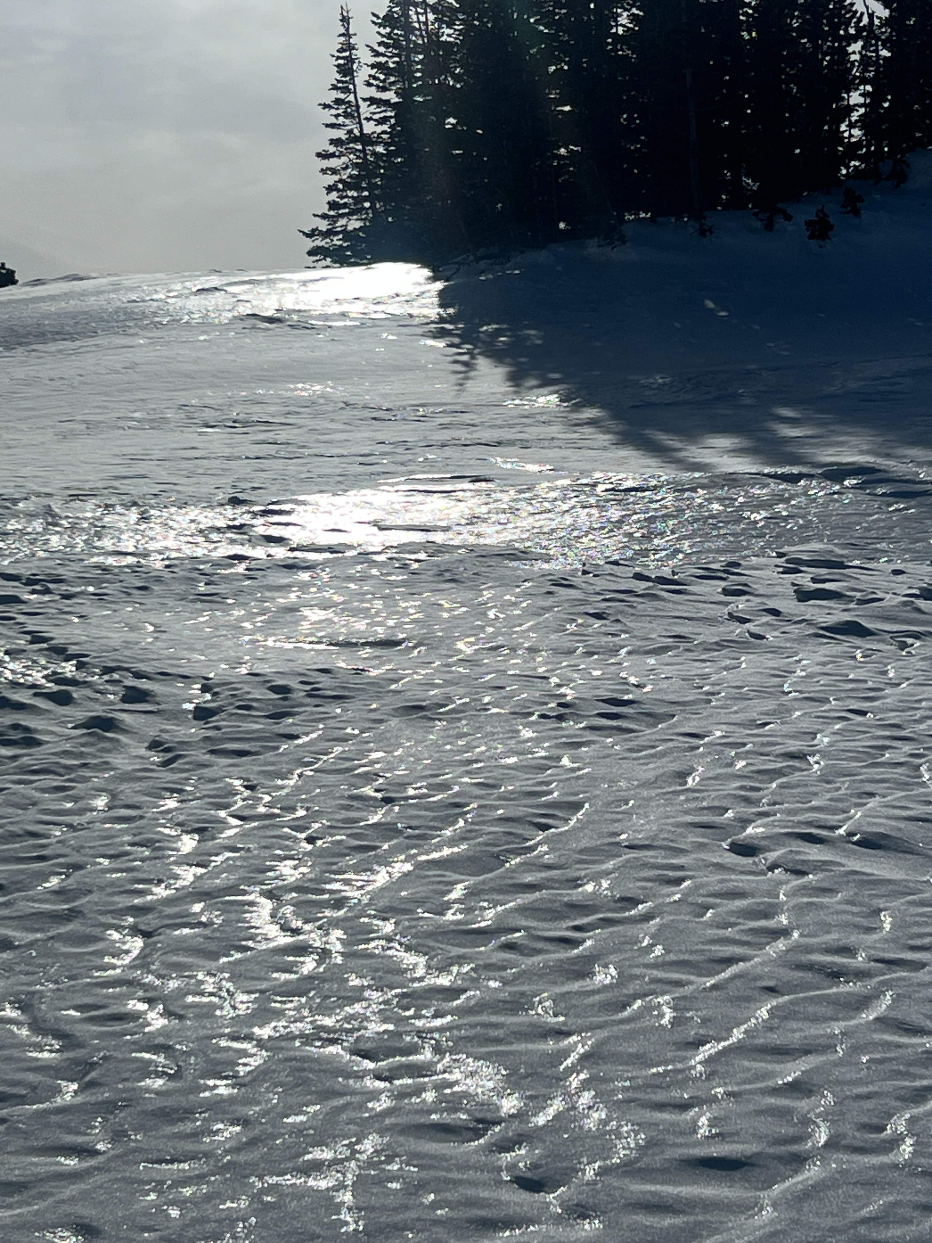
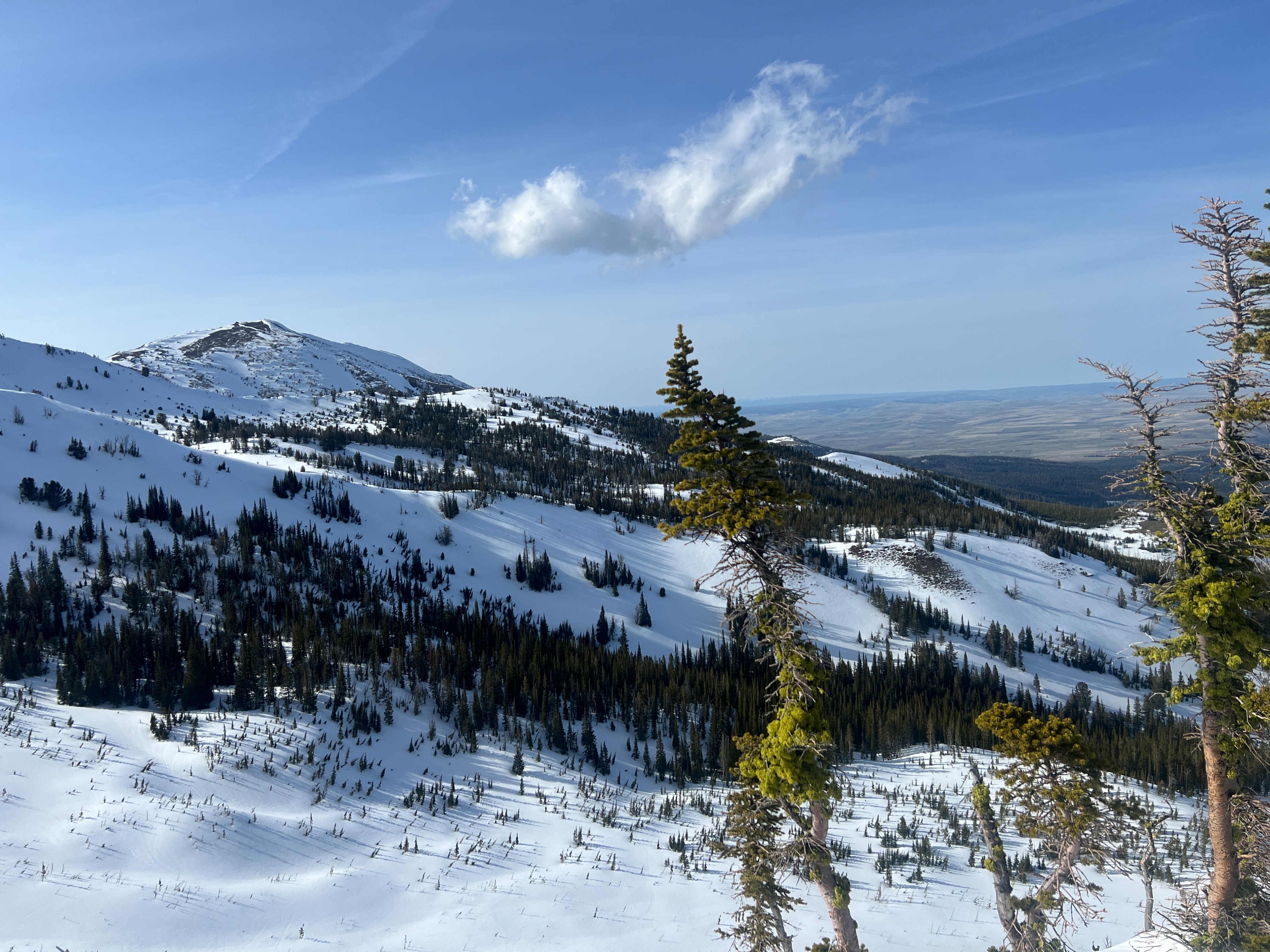
I was interested in finding out how wet the snow was getting today, so I headed out for an afternoon tour at Wing Ridge. The temperature in the parking lot at 3:00 was in the upper 50's. The ski pen on the way up was up to 15 cm at its deepest in unconsolidated snow. Many areas were supportive and travel was efficient. Below 7500', the top 6" of snow was wet. Above that elevation, the moisture content of the surface snow was quite aspect-dependent. True North was almost dry, Easts were cooling off and crusting over, and South and West were baked in the sun with wet surface snow. Skinning across one low-elevation east-facing meadow, I felt a collapse in the wet snow that was isolated to a 10' circle around me.
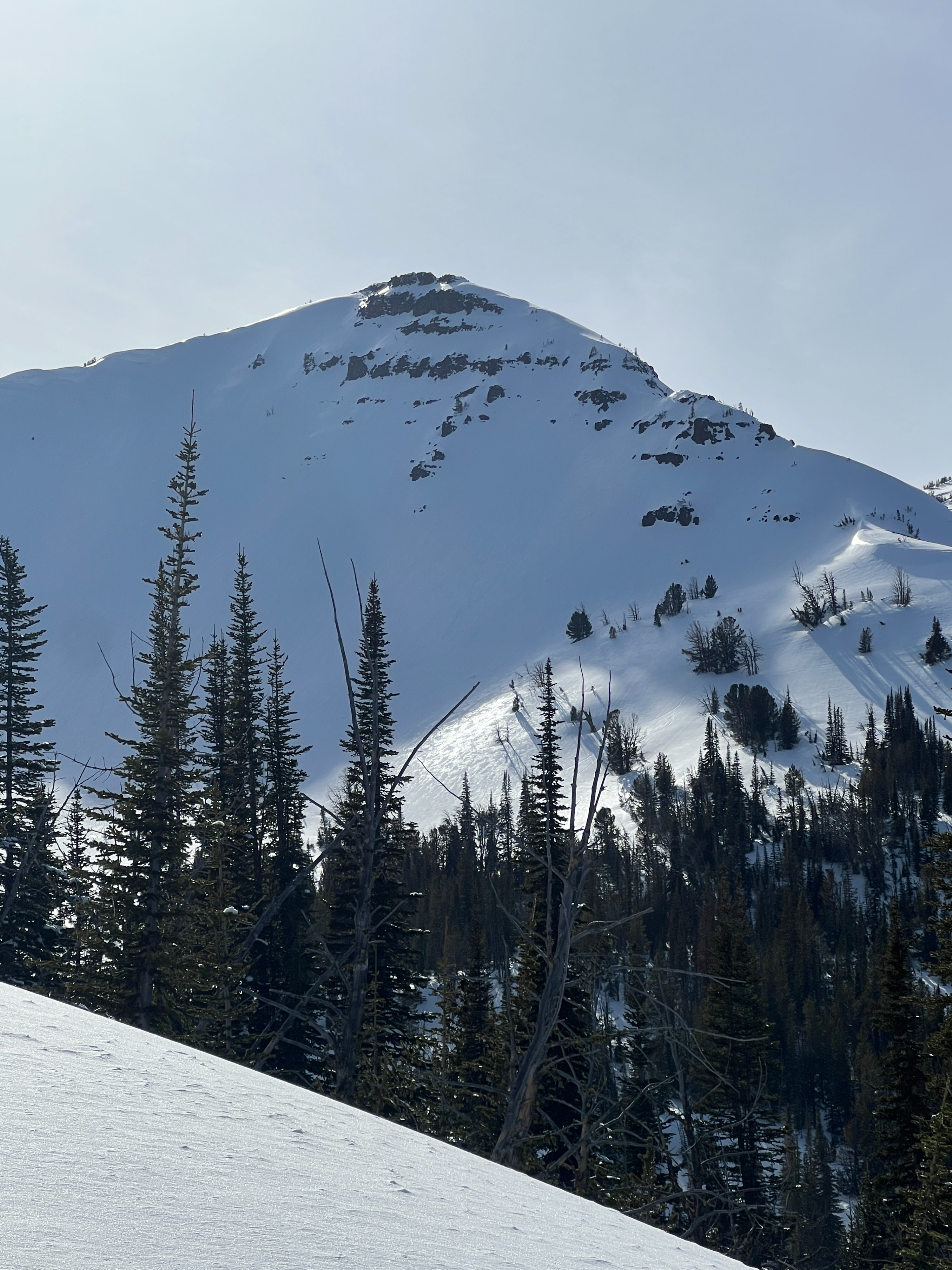
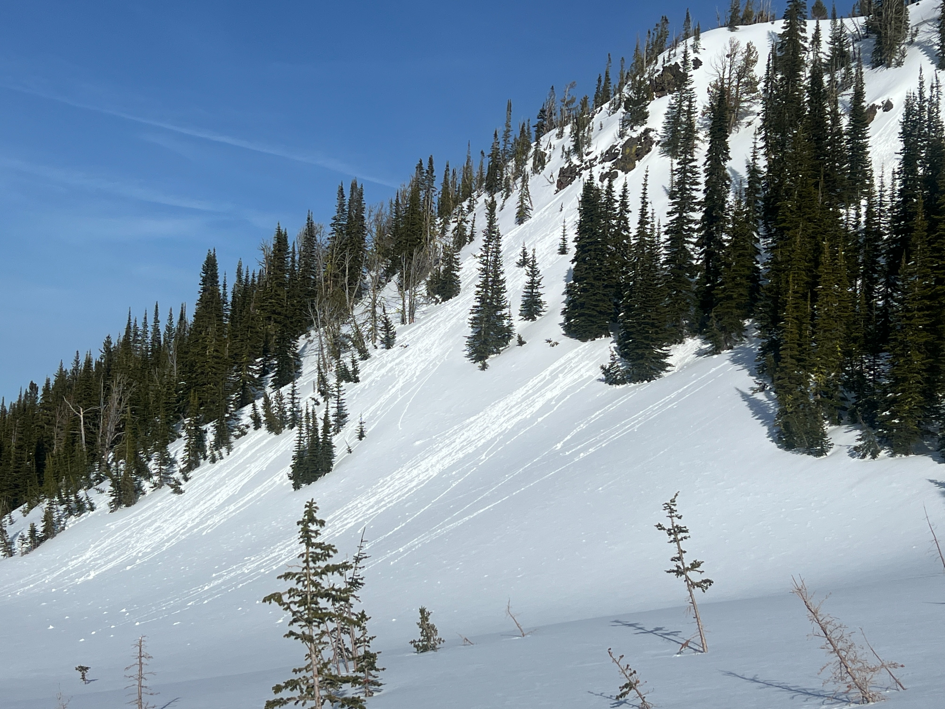
Exiting 1st Bowl, the ski quality got quite variable and by the time I skied Bairds at 5:00, the shaded surface was developing a crust.
Temperatures are going to rise tomorrow, with freezing levels up to 9100'. Keep an eye on the depth of water saturation in the upper snowpack over the next few days. There are crusts in the snowpack where water may pool. If you see this happening, then stay off and out from under steep slopes, especially later in the day.
I was impressed with the quality of the snow (still!!) on the upper elevation north aspects.
Weather
- Air Temp
- 40
- Cloud Cover
- few
- Recent Snowfall
- 0
Winds were light and variable
Snowpack
I dug two quick pits today just to look at the moisture of the snow and the extent of crusts. The first location was shady, NNW aspect at 7800'. There was about 9' of snow at this location, and the top 6" of snow was still dryish and sitting above a thin crust. There were 3 more prominent crusts in the top 3.5' of the snowpack. The third crust was the thickest, but also breaking down and I saw an ECTN27 on this crust. Overall impression was of good stability in this location.
The other location was at the top of Baird's run where there was much less snow, but a wetter top 6" of snow. The water had not percolated below the crust in this location. Overall impression was that this is a good start to a sloppy mess until we get a good freeze again. The strength of the springtime snowpack comes from the overnight freeze. No freeze=step back.