
Quick report
Avalanche conditions were in agreement with the day's avalanche forecast. This was confirmed by observing day-old natural avalanches as well as a human-triggered avalanche during the day. See below.
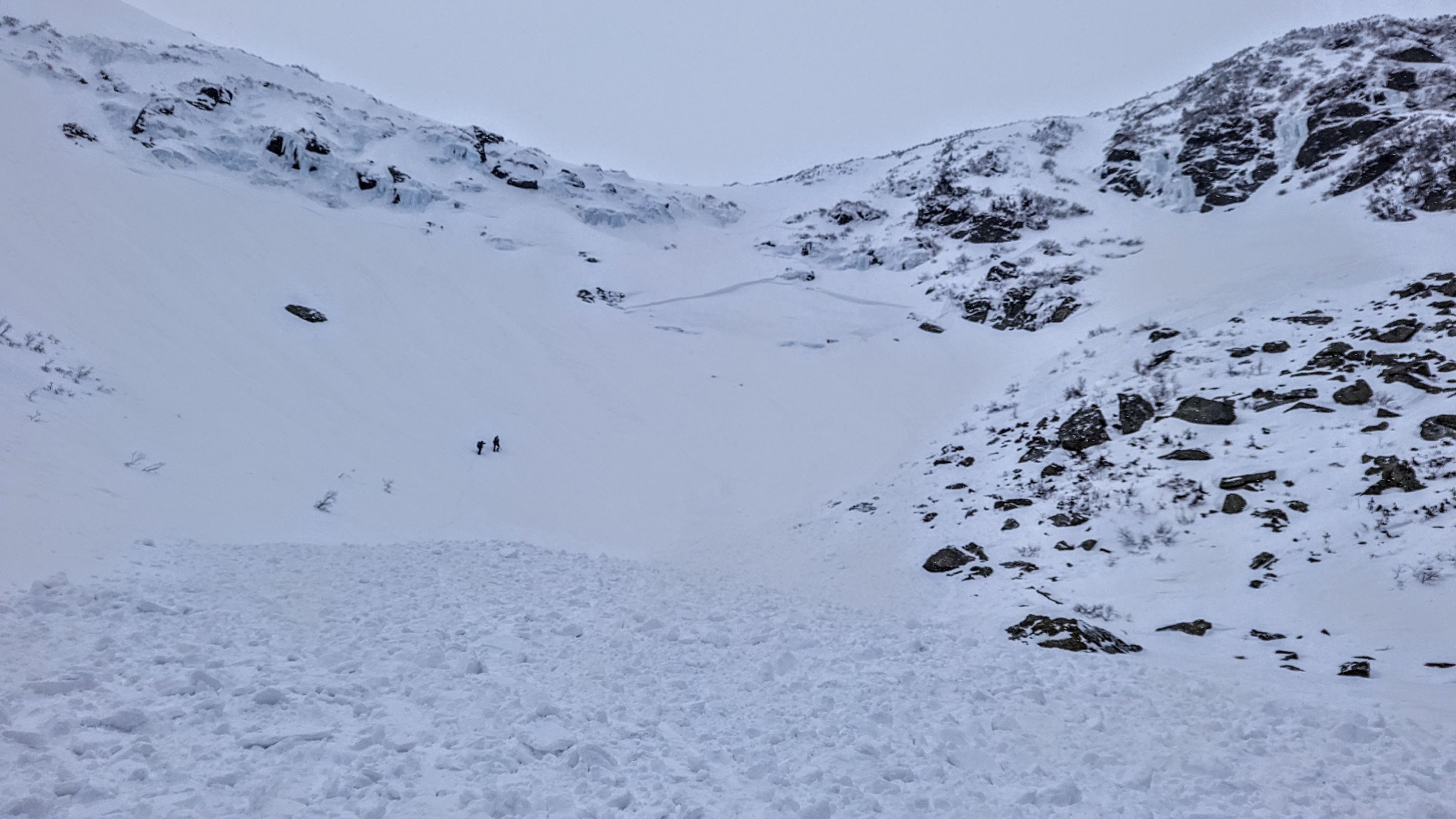
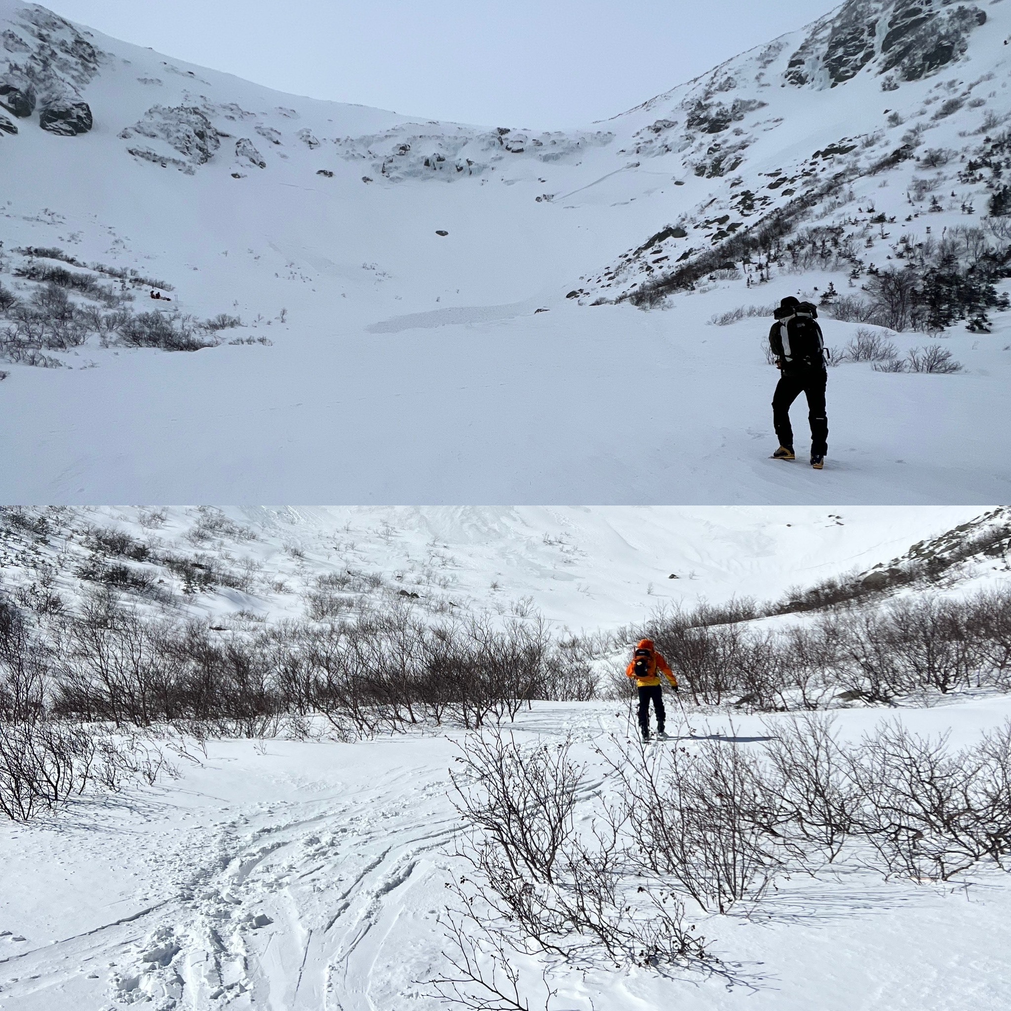
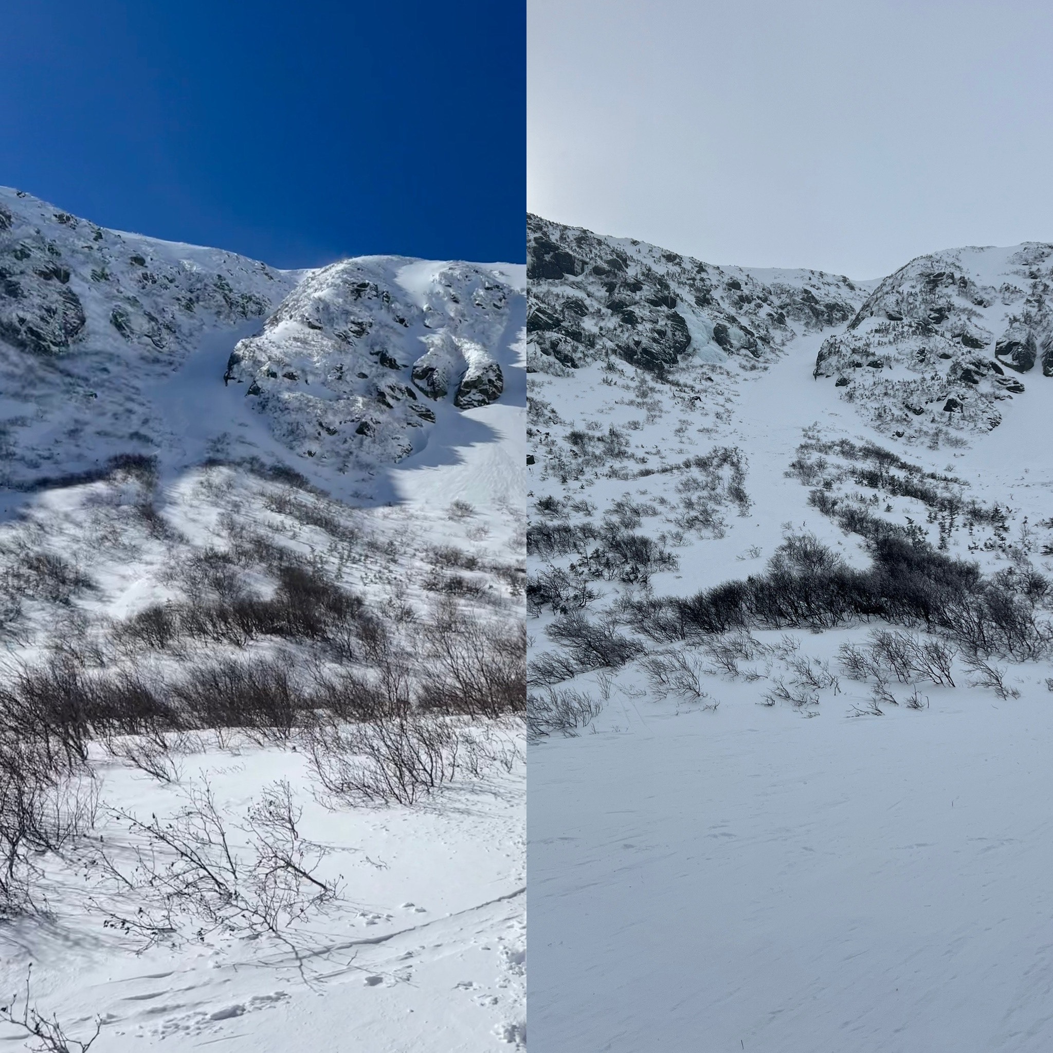
Entering Tuckerman Ravine, there were visible and significant changes from days prior. The floor is full of debris from both the newly triggered avalanche but also the natural avalanches that occurred during this storm cycle. Small trees that were previously visible are now buried and some of the larger rocks now appear much smaller as they are covered by snow. This was specifically noticable at the bottom of Left Gully, and the Floor of the Ravine.
Weather
- Air Temp
- -4
- Cloud Cover
- overcast
- Wind Loading
- none
Clear skies in the morning gave way to overcast skies in the afternoon with light snow showers begining around 13:30. Temperatures in Tuckerman were in the negative single digits F. Winds in the ravine were light
Snowpack
Recent windslabs have been compressed into 1-finger and pencil hardness in most areas. Depth of these slabs is variable between 1 and 3 feet and resting on top of an old melt/freeze crust. The layer of concern remains soft (F) snow (which was commonly found with significant graupel grains mixed in) resting just above the melt/freeze crust. This layer produced numerous natural and human-triggered avalanches over the past 48 hours.
Avalanche
- Size
- D2.5 R3
- Type
- SS
- Count
- 3
- Aspect
- E
- Trigger
- N
- Elevation
- 4800 ft
This avalanche was triggered by a party of two - skier and snowboarder - who were descending The Lip in Tuckerman Ravine. The snowboarder was caught, carried, and partially buried after the avalanche was triggered by the skier, higher up on the slope. Hard slab debris carried the snowboarder a couple hundred vertical feet into Chicken Rock Gully. No one was injured during this incident. The avalanche was triggered from a thin spot at a rock and ice bulge, which allowed weak layer failure and propagation to translate outwards onto the slope into areas of deeper wind slab. Debris depth was measured at about 1.7 meters at the deepest. The bed surface was not directly observed, but was likely the interface between new wind slabs and old snow, where soft snow and significant graupel has been observed over the past several days.