
Quick report
Tunnel Ridge weather station recorded eight inches of new snow this morning. This was the most of all area stations. We chose a neighboring drainage to check on the new snow totals, wind loading, and the Persistent Slab problem.
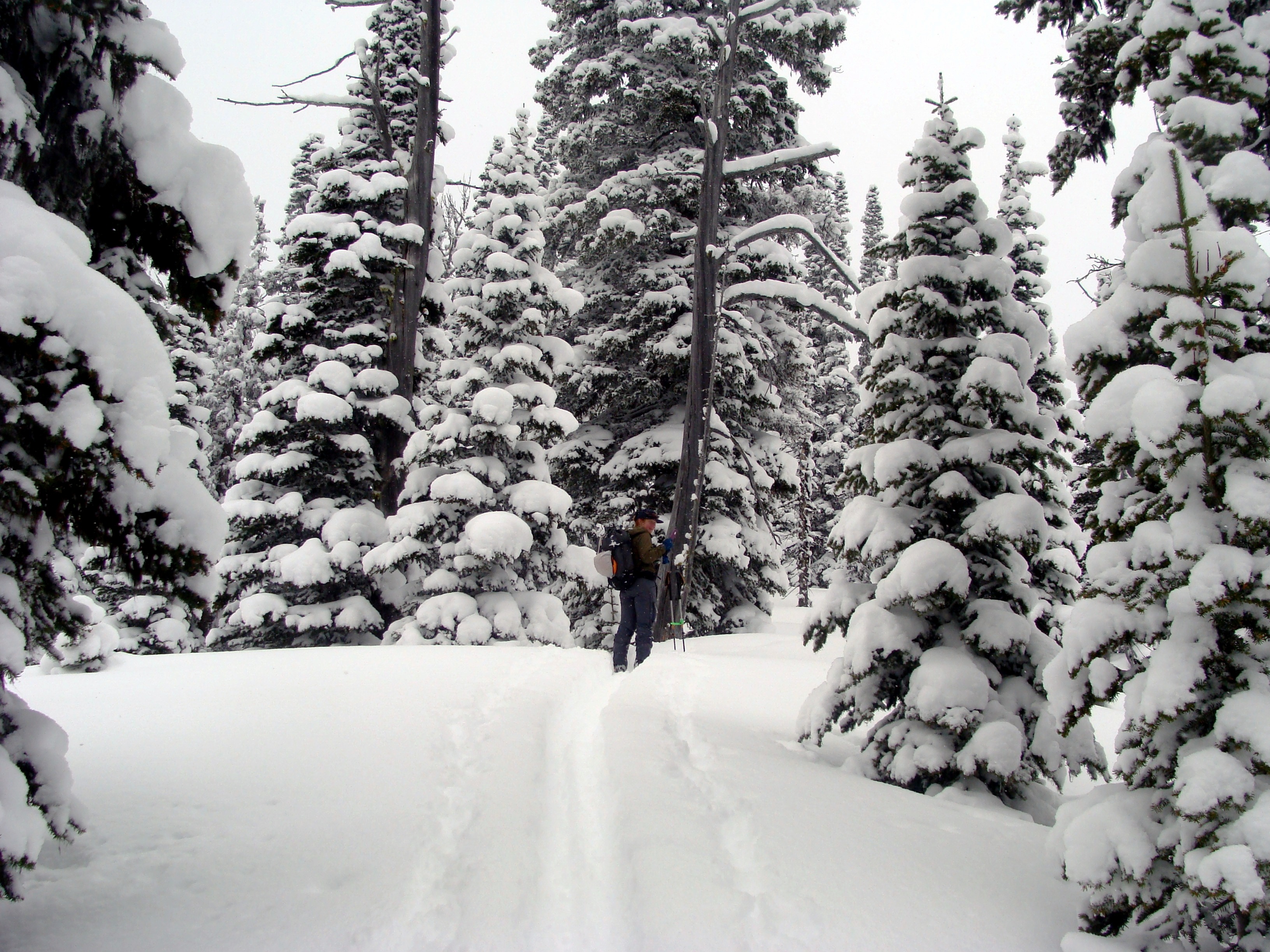
- We found 25cm (10 inches) of new snow at 4000 feet and 35 cm (14 inches) above 5500 feet. This snow was extremely low-density and could be called cold smoke, champagne powder, or blower powder.
- No evidence of recent or current wind effect along the ridgeline we walked.
- A brittle 1 cm sun crust rests below the new snow on steep southerly aspects.
- The new snow was cohesionless, and we did not find a slab in the areas we traveled.
- Skier-triggered sluffs in the new snow frequently occurred on steep slopes. These would have been a concern on more consequential terrain features.
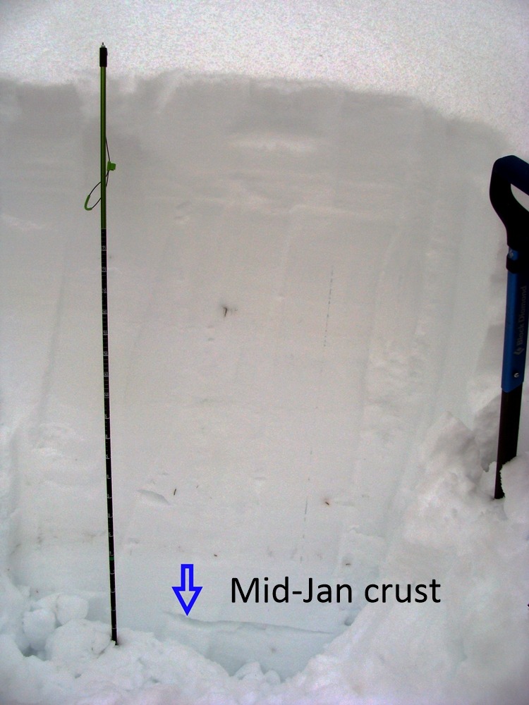
- We found the mid-January crust approximately 1.5 meters below the surface on upper-elevation north aspects.
Weather
- Air Temp
- 20
- Cloud Cover
- overcast
- Wind Loading
- none
- Rain Elevation
- 1000
- Recent Snowfall
- 14"
- Snow Avail For Transport
- large amounts
Cool temperatures, no wind, and mostly overcast conditions.
Snowpack
We dug two pits on the upper-elevation north aspects. One pit closer to the ridge had a depth of 320 cm, while the other pit, further down the slope and unaffected by wind, had a depth of 280 cm. We found the mid-January crust down about 140-150 cm in each pit. Small rounding facets sandwiched this crust.