
Quick report
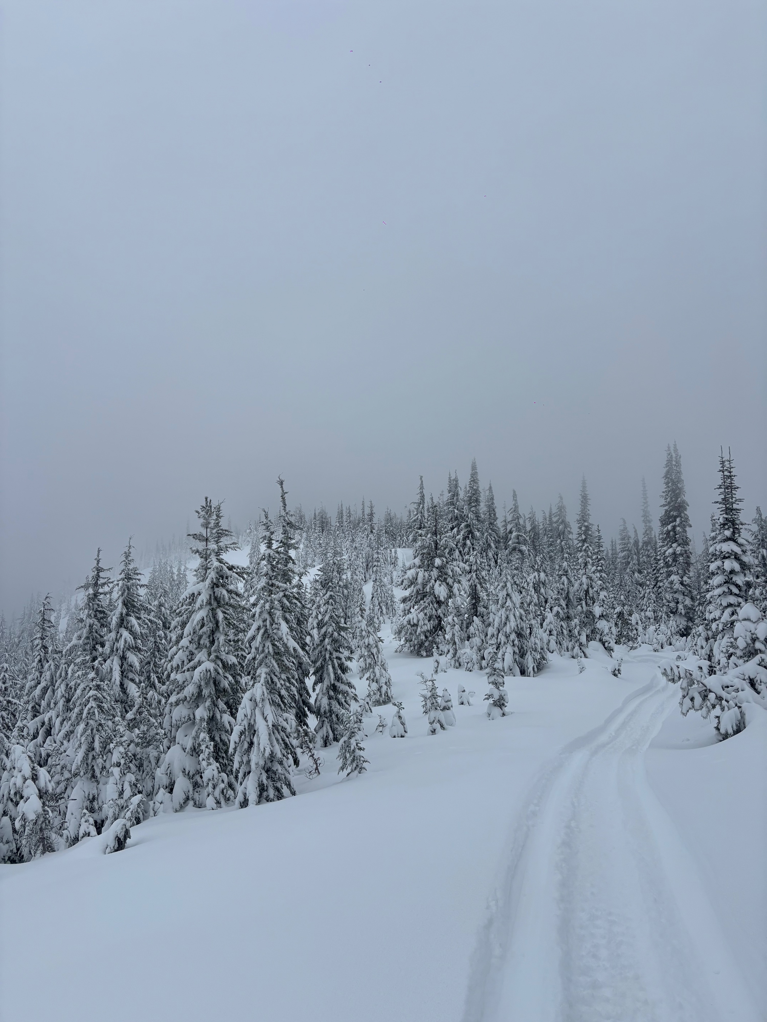
A stable snowpack for the time being! Very good coverage above 5000' for the time of year, snowpack down to 4800' has gained depth compared to last Sunday. Skiable to ~4800ft. Mostly ski boot walking to/from the TH from that elevation if you like your edges and bases. Skis stayed on till 4500' but lots of slow sidestepping that last 300' of vertical. Recent MF crust appears to be a supportive bridge in our snowpack. My main concerns going into this storm cycle will be the interface between that new snow and the crust, especially as more and more weight gets added this week. Even more concerning if surface hoar is hiding up high.
Weather
- Air Temp
- 19
- Cloud Cover
- overcast
- Wind Loading
- none
- Recent Snowfall
- 27
- Snow Avail For Transport
- moderate amounts
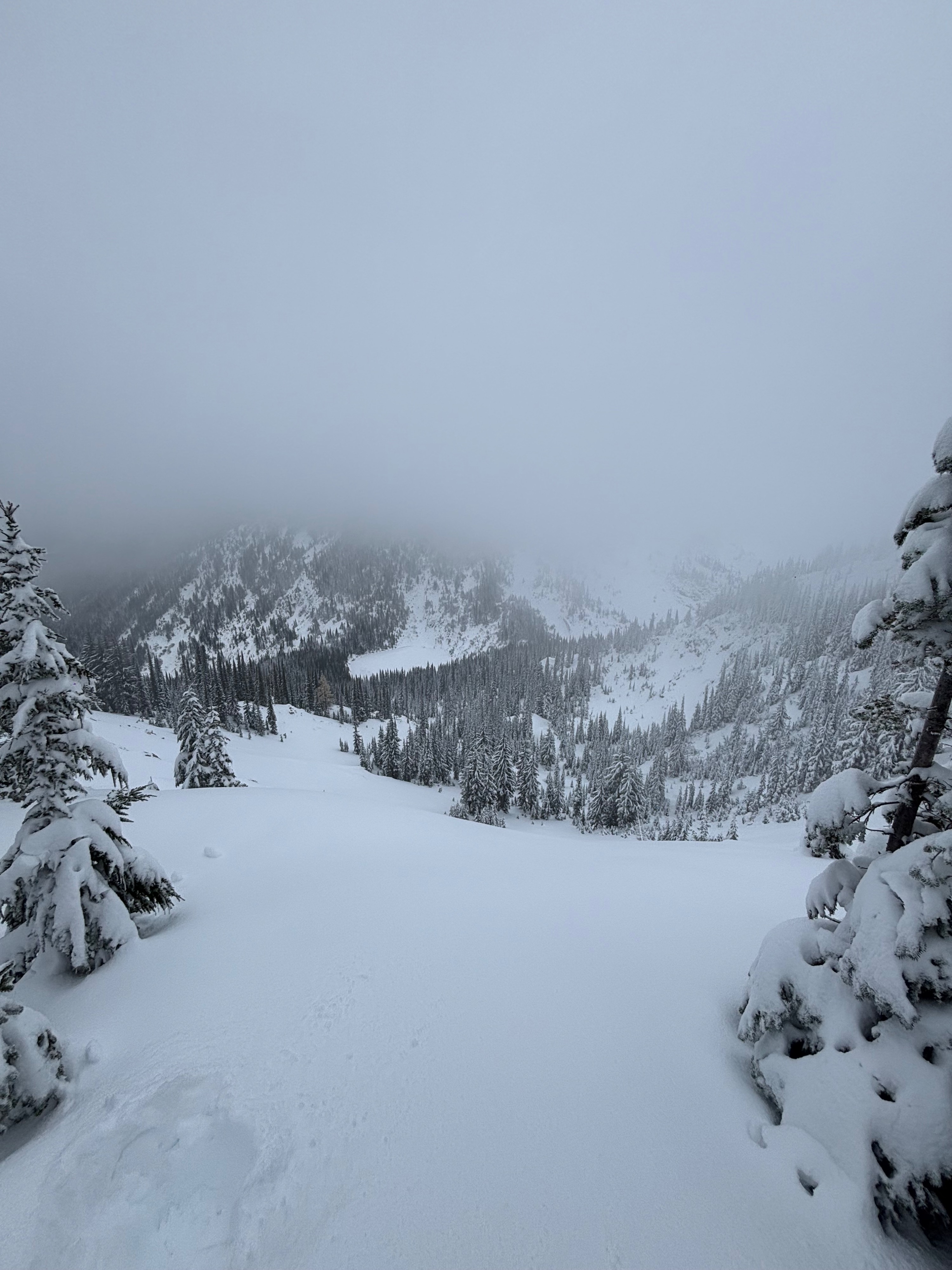
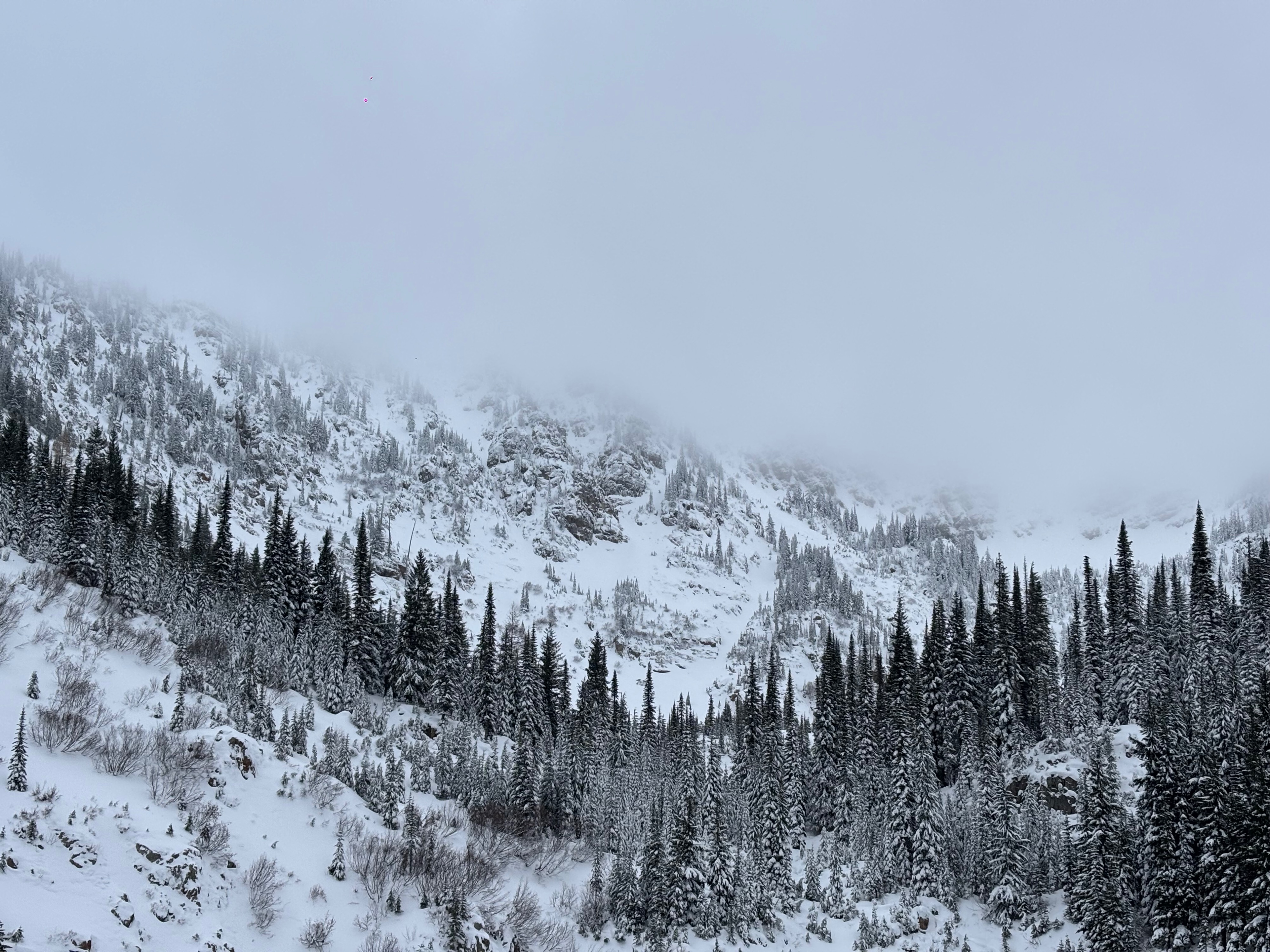
Cloud ceiling between 6500-6700' from 11am-4pm. Light winds on the ridge, no observed wind transport. Temps in the high teen's above 6000'. Mid-high 20's at the trailhead.
Snowpack
Snowpack appears right side up for the time being. melt-freeze crust at 6500' is consistently 5-7mm thick, very supportive. 1mm thick ice lens 7mm off the ground too. Observed a couple rounding facets directly below the rain crust and was able to find a single 3mm surface hoar feather on top of the rain crust. Observed cornices were touching down and droopy, could be enclosing an air space already with this storm and forecasted winds.