
Quick report
- Cracking
- isolated
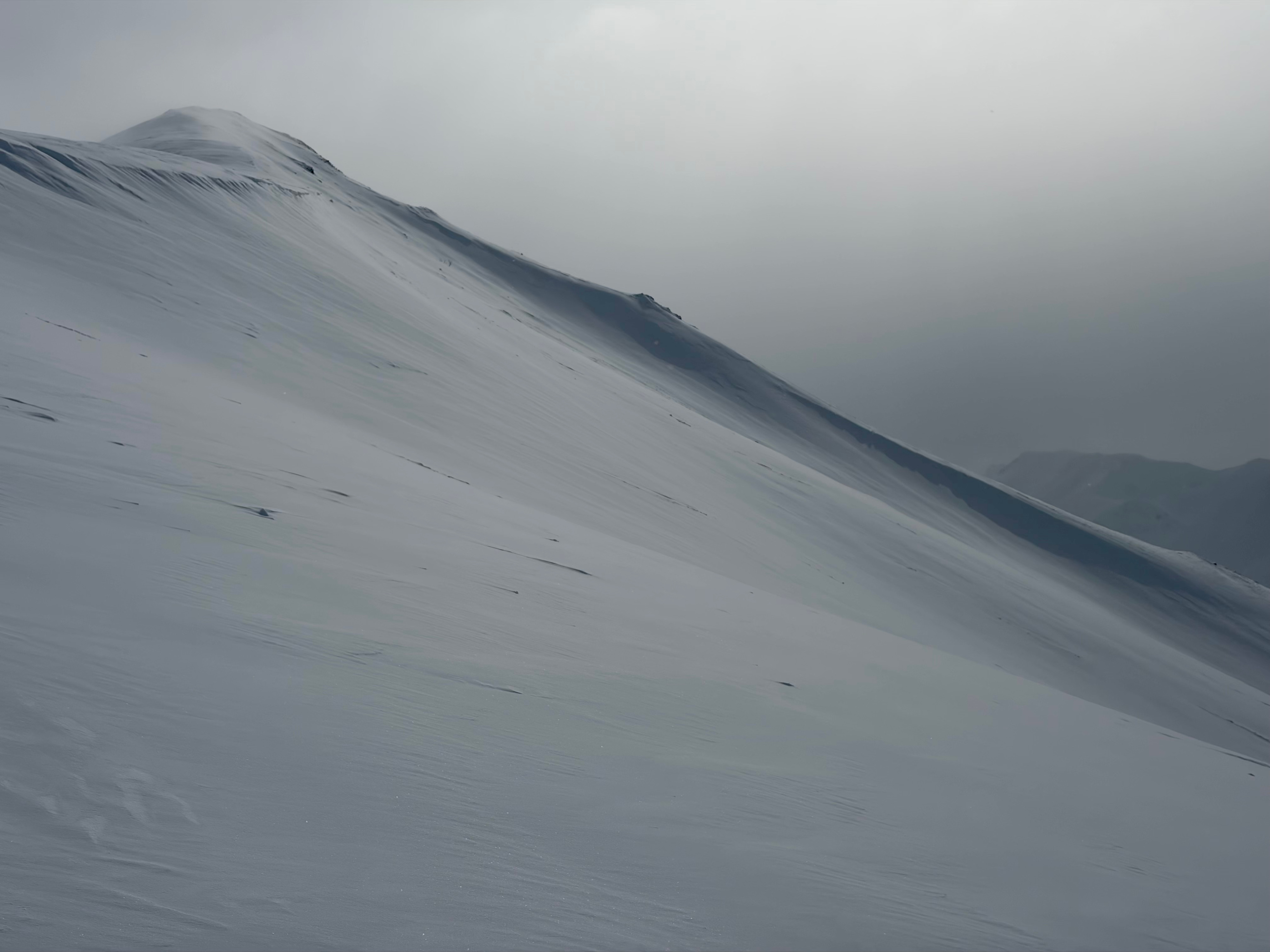
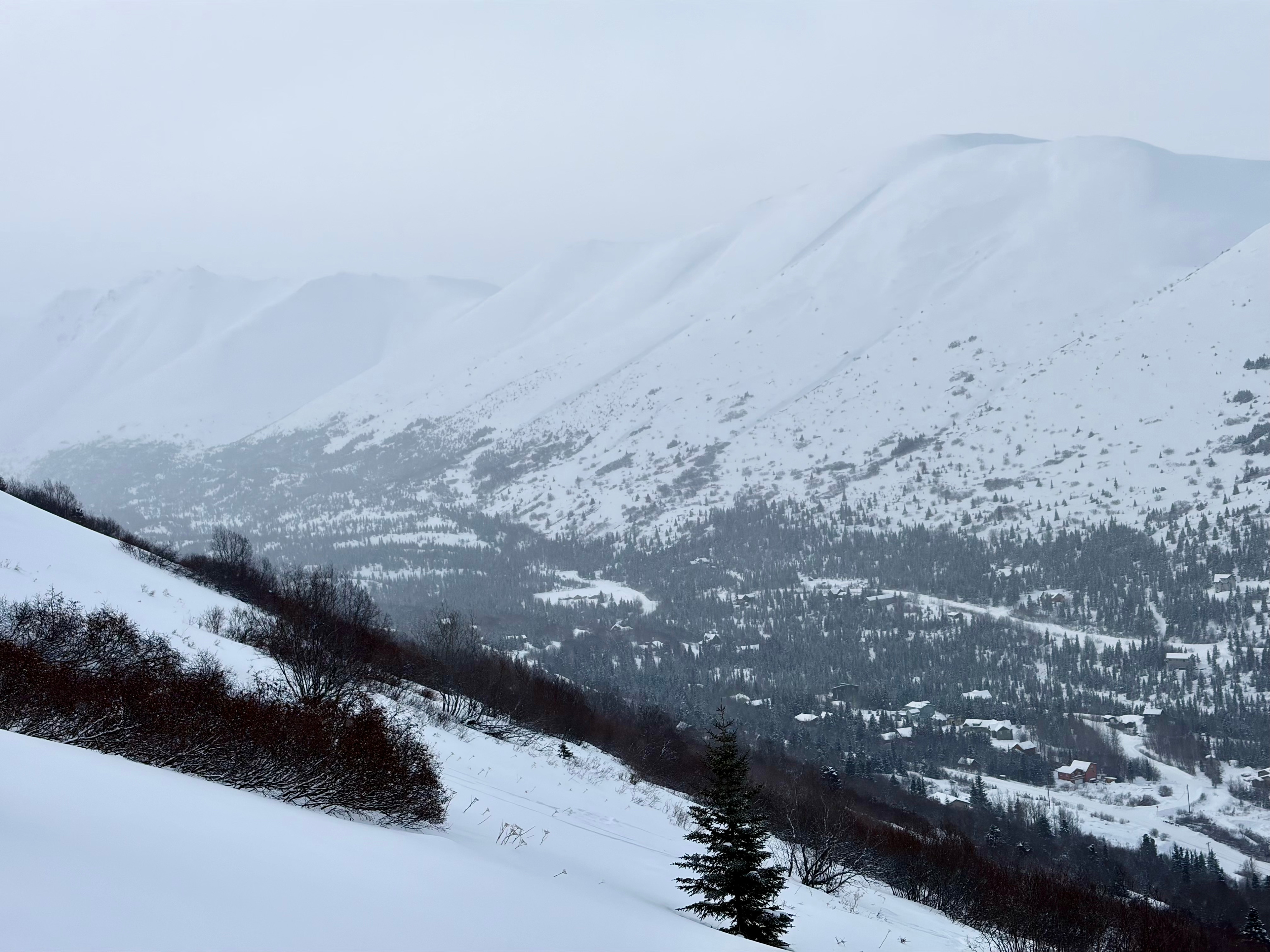
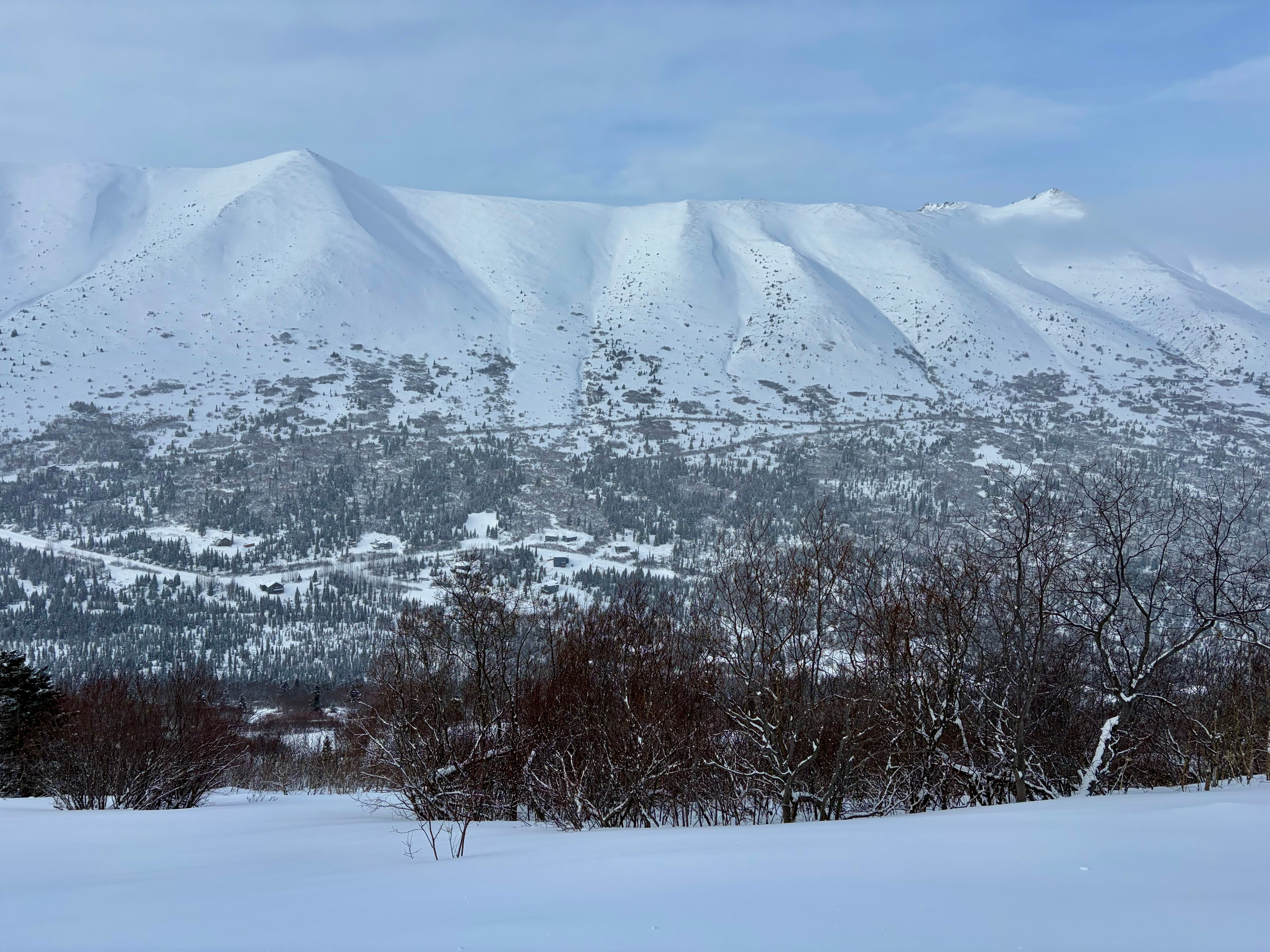
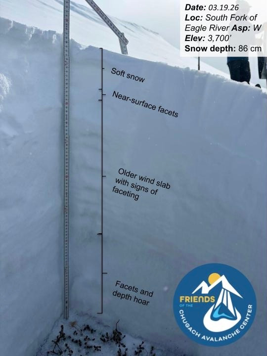
Toured to a ridgetop high point near 3,700’ on the east side of the South Fork of Eagle River to assess wind loading, persistent weak layers, and snow available for transport on the north side of Chugach State Park. Hand pits along the ascent showed a consistent structure of soft snow over faceted snow, with wind-affected surfaces along ridgelines and in exposed terrain.
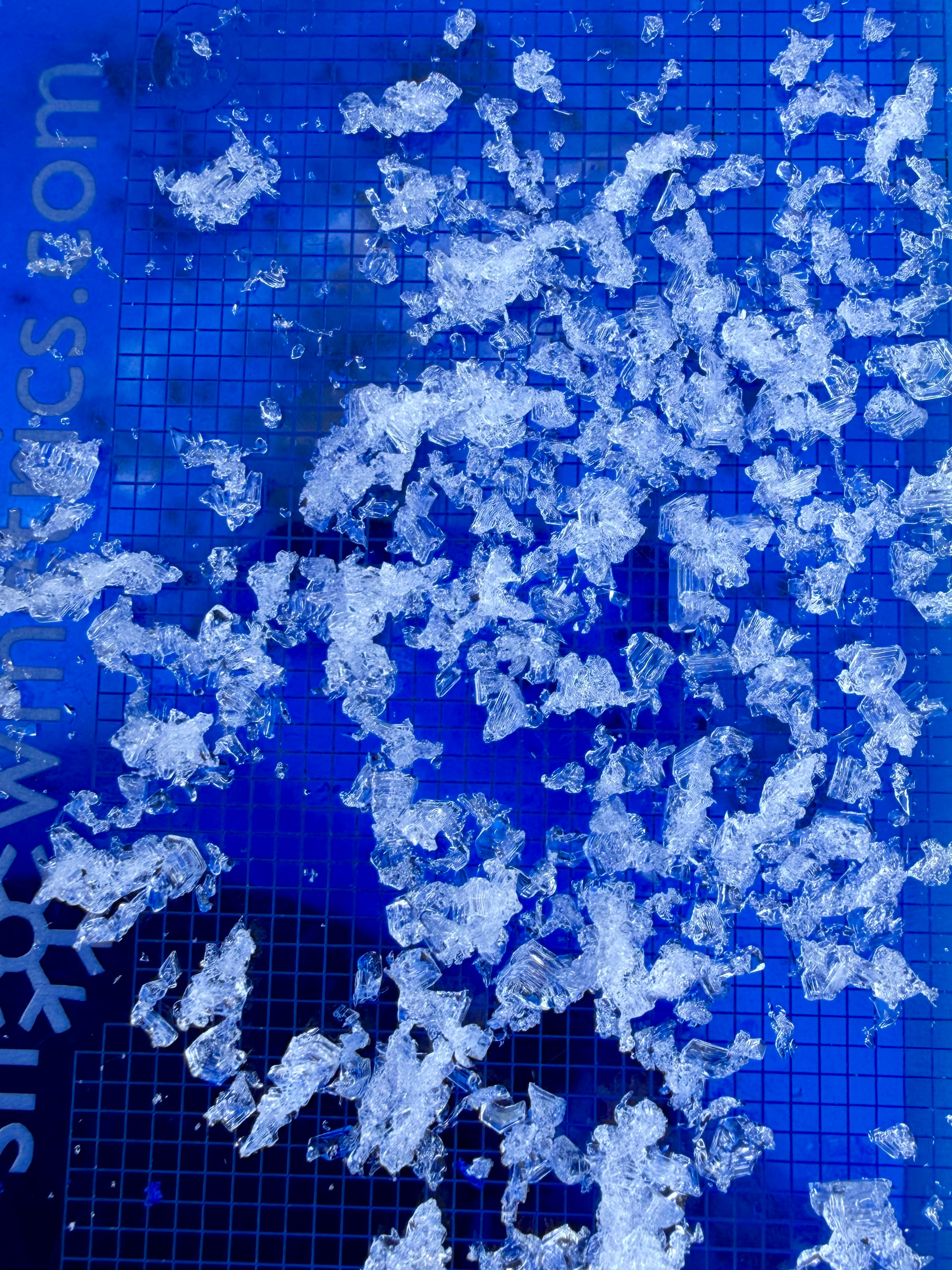
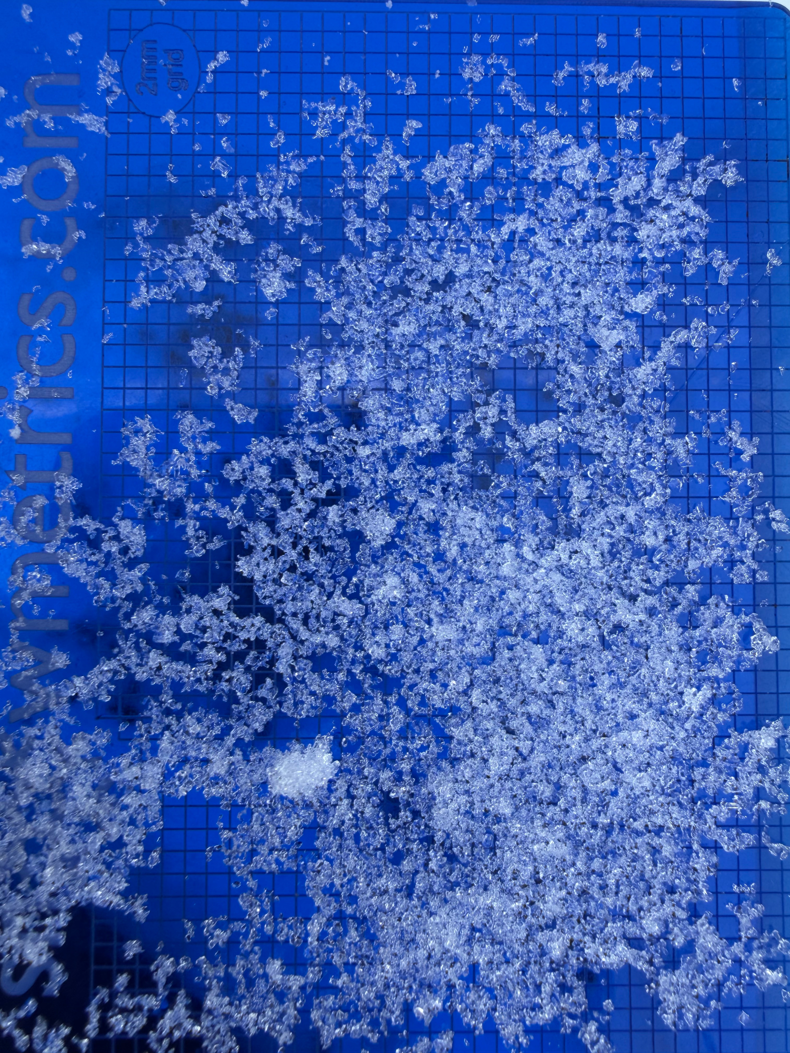
The primary concern is a thin layer of small, faceted grains (near-surface facets) sitting just beneath soft snow available for transport, over a firm old wind slab. Avalanches observed last week likely failed on this layer. Additional faceted layers, including December facets and depth hoar, remain present deeper in the snowpack. Prolonged cold, clear, and calm weather has promoted widespread faceting and continued weakening of these layers. While no avalanches have been observed on deeper layers since January 28, they show no signs of gaining strength.
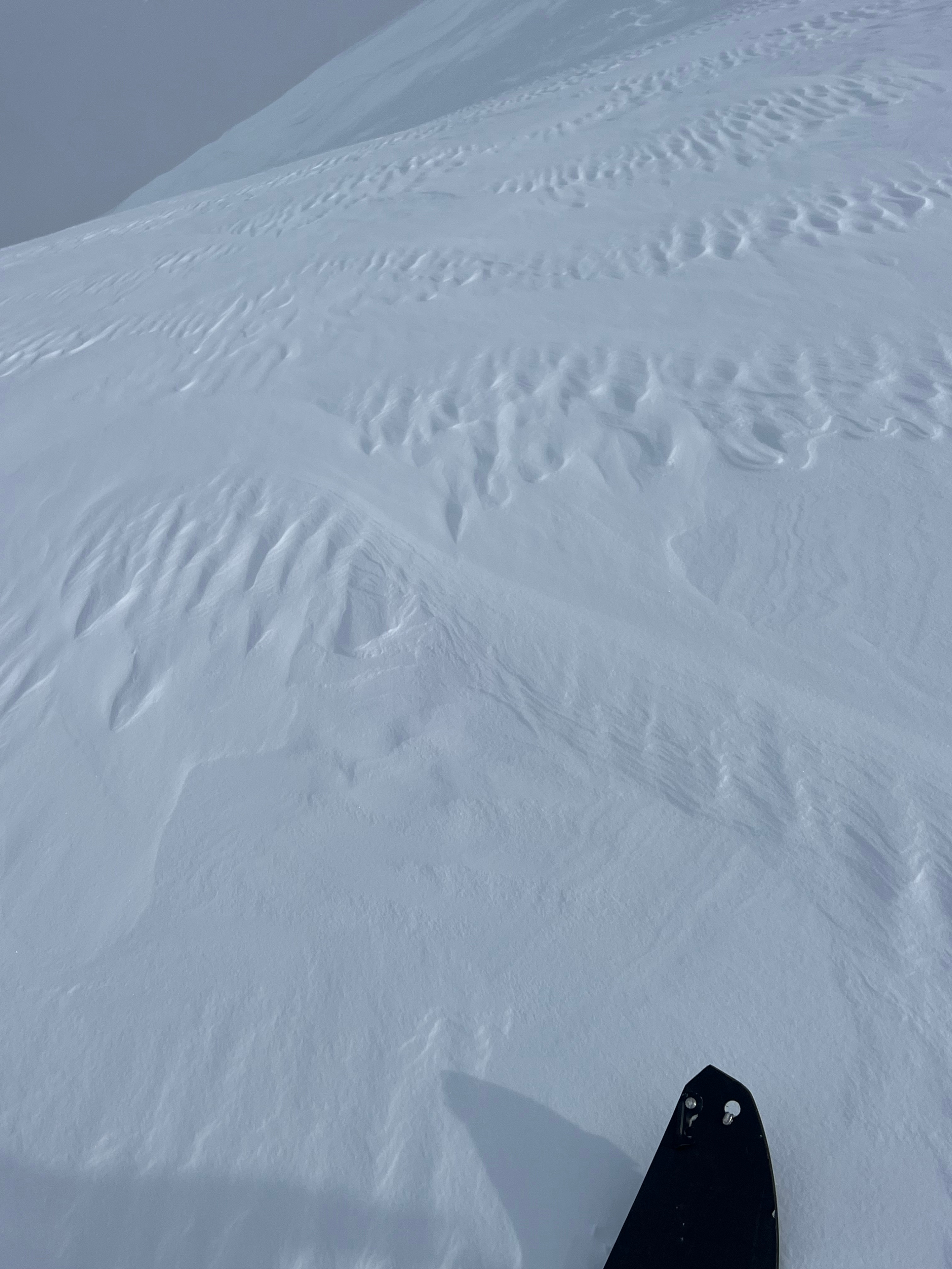
We dug three snowpits and conducted ECTs at each location with no concerning results. A wind event beginning tonight (Thursday) and continuing into Friday morning is expected to transport available snow and build fresh wind slabs. Depending on wind speeds and loading, natural avalanches will be possible, and avalanche danger is likely to increase as additional stress is applied to existing weak layers.
We observed one isolated shooting crack on soft, newly wind-affected snowWeather
- Air Temp
- 10
- Cloud Cover
- overcast
- Wind Loading
- previous
- Rain Elevation
- Not Observed
- Recent Snowfall
- 3
- Snow Avail For Transport
- moderate amounts
Overcast skies, temps in the single digits to low teens F, snow flurries, intermitted light gusts from the N while on the ridge