
Quick report
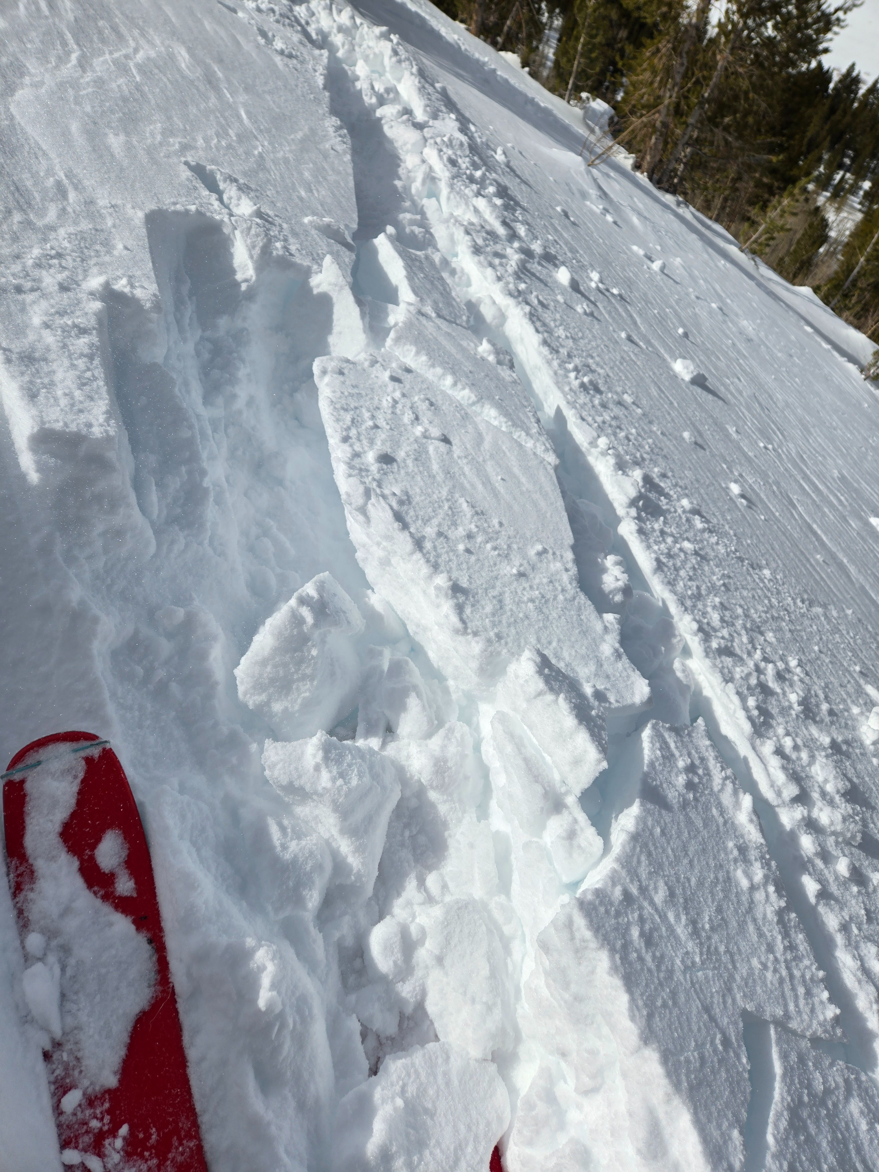
We went to Rock Creek to dig a snow profile near one of the previously reported persistent slab avalanches that failed during the storm. We also wanted to gather information relevant to the big warm-up forecast for this weekend.
The persistent slab structure is alive and well. Some concerns going forward include:
- Continued snowpack tests show a propensity for failure and propagation on the weak layers.
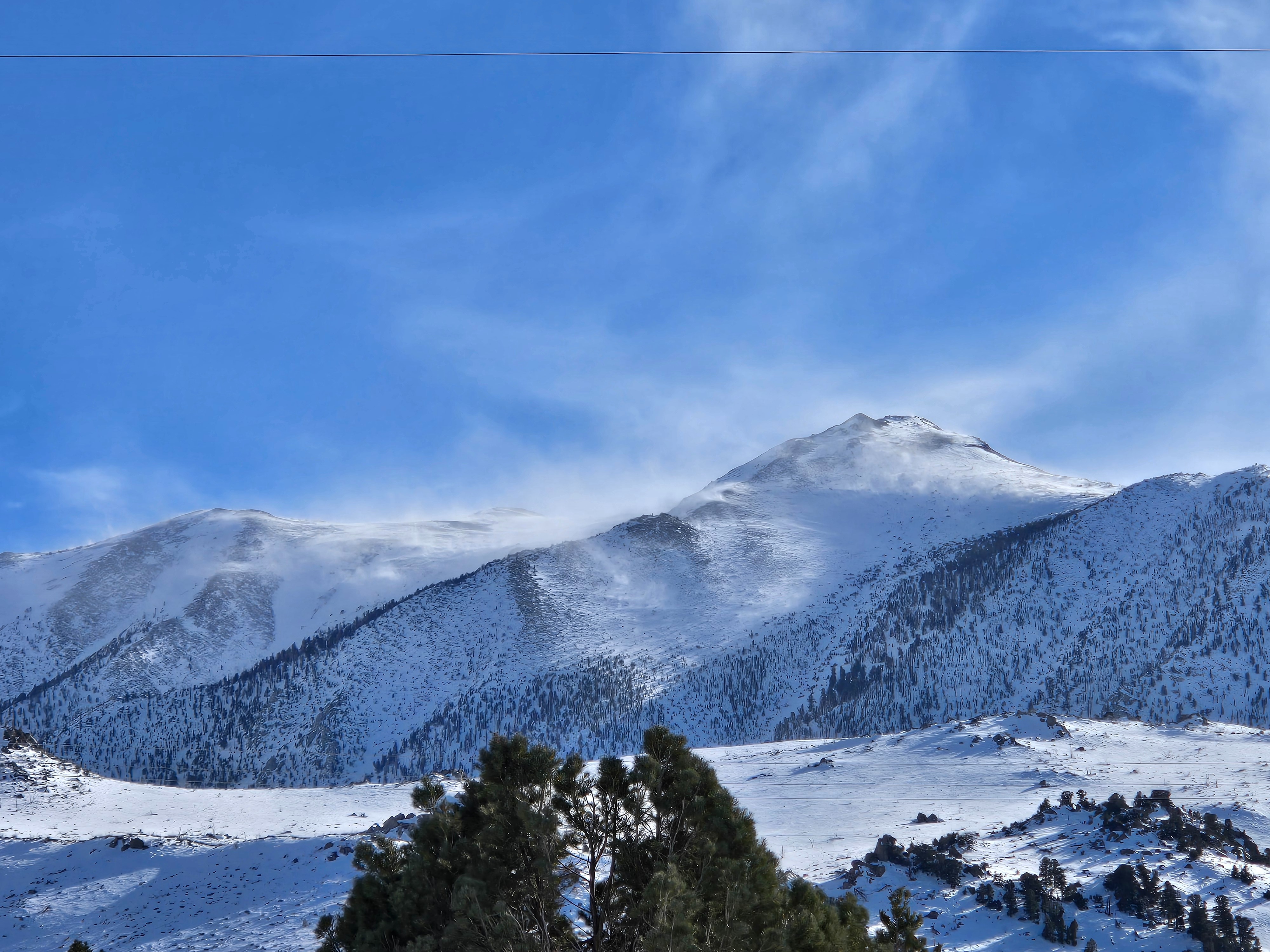
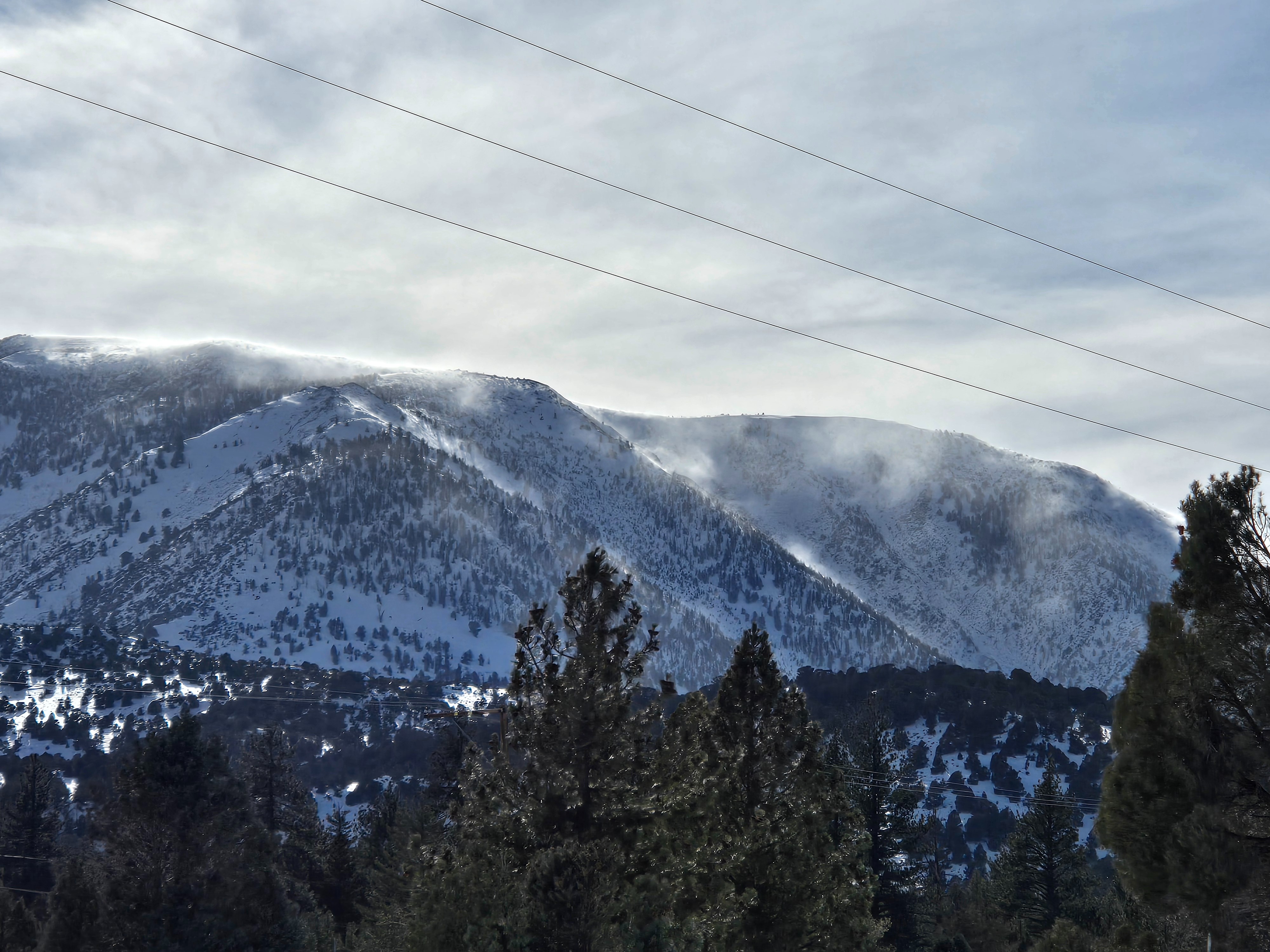
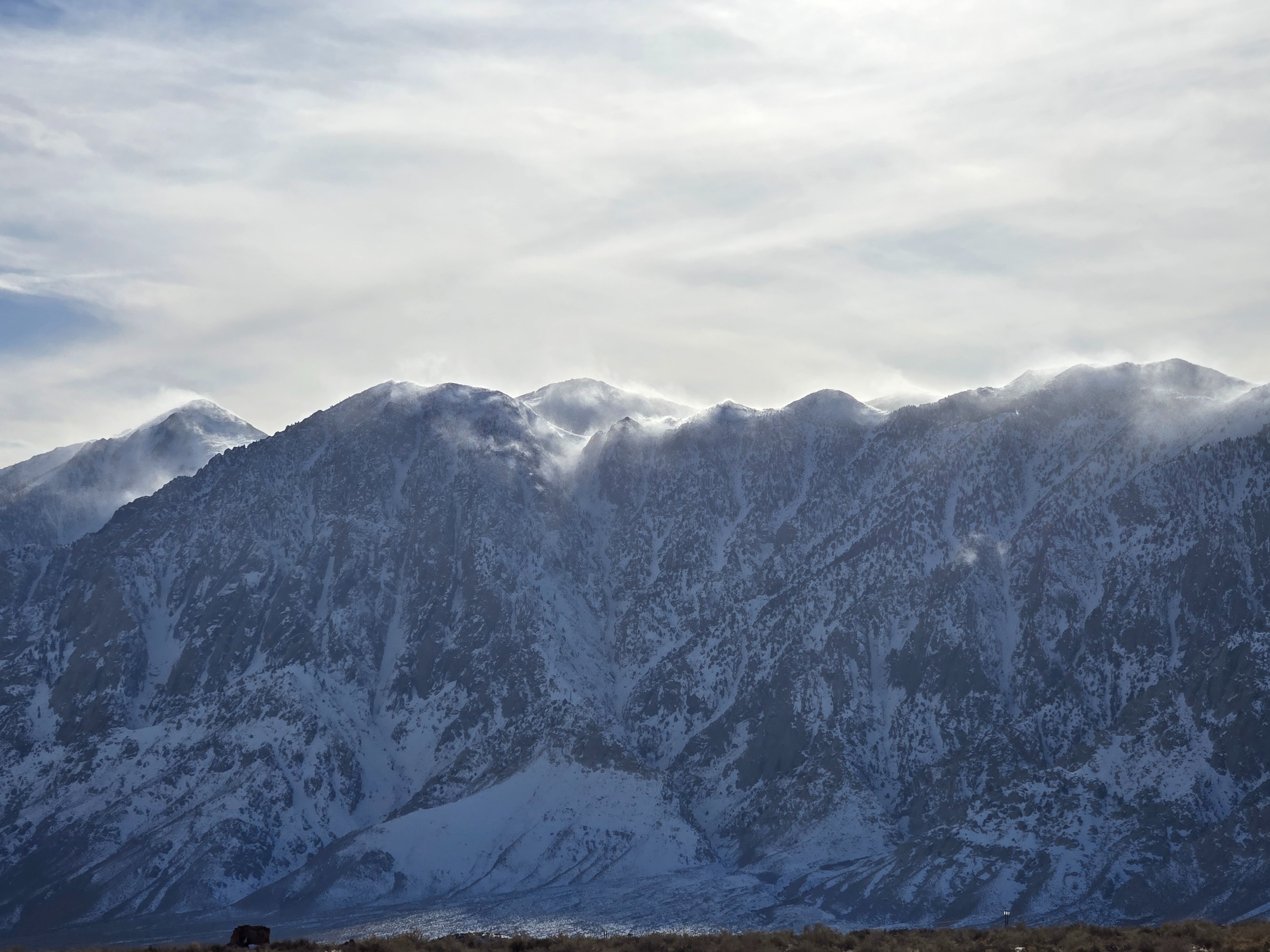
- West winds are reloading the same paths that slid, but there is still very weak snow left over on the bed surface of paths that previously slid. Also, some cornices have formed over north and east-facing slopes that have poor structure.
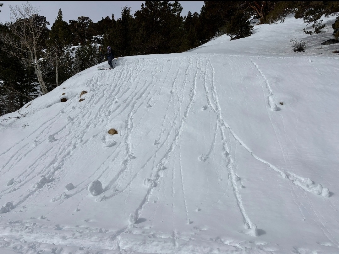
- There is an overlap (northwest and east aspects) between slopes that have poor structure and slopes that are getting solar warming. Smaller wet loose avalanches can be enough to trigger big persistent slab avalanches, and prolonged warming could mean thawing in the soft slab above allowing melt-water to reach the weak layers.
Weather
- Air Temp
- Above freezing
- Cloud Cover
- scattered
- Wind Loading
- intense
- Snow Avail For Transport
- large amounts
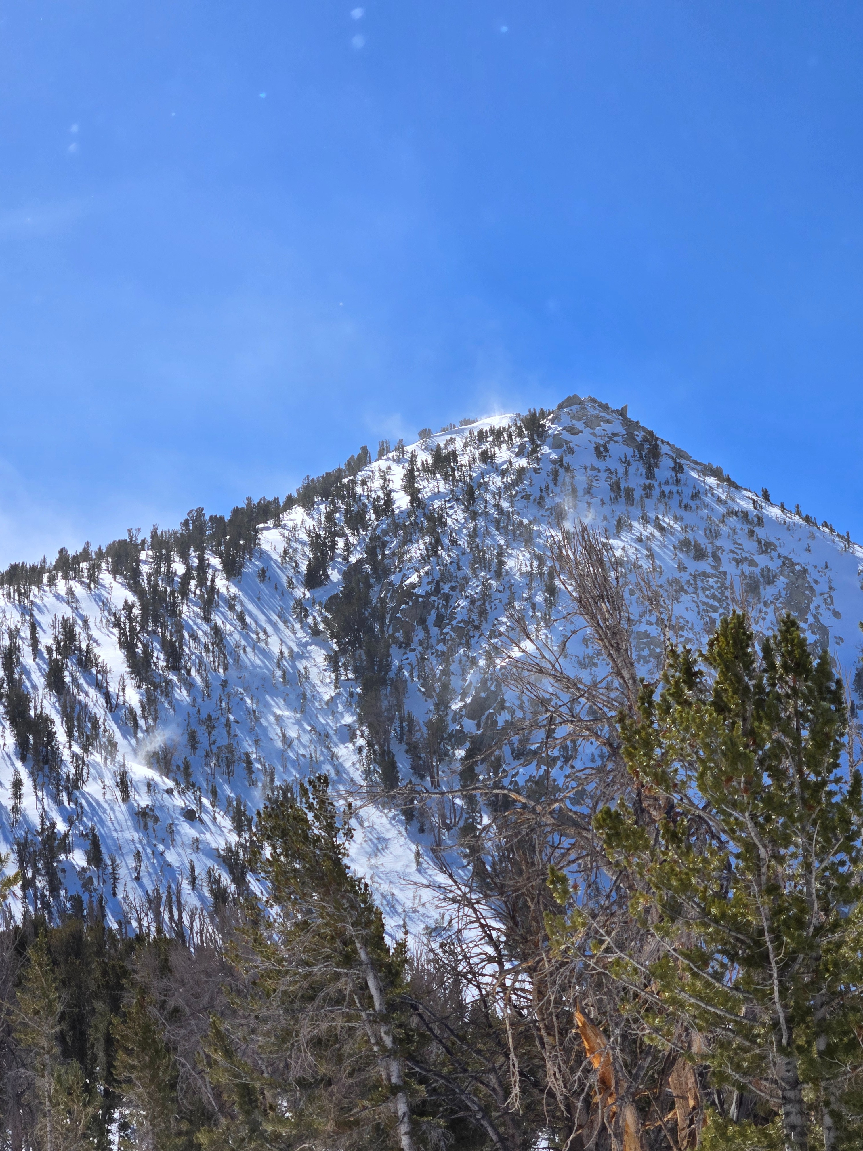
Today was warm with decreasing clouds and increasing southwest winds, drifting more and more snow near and above treeline.
Snowpack
See avalanche flank profile for persistent slab structure on northerly slopes near and below treeline.
See photo for common structure on solar aspects near treeline. Essentially there is soft snow above a thick hard crust complex to thaw and become wet if it warms up a bunch.
On east and west aspects below treeline we found 4-6 inches of wet snow over a very thin melt-freeze crust. Under that was dry snow. We were able to trigger very small wet loose avalanches and many rollers on east-facing test slopes in the late morning.