
Quick report
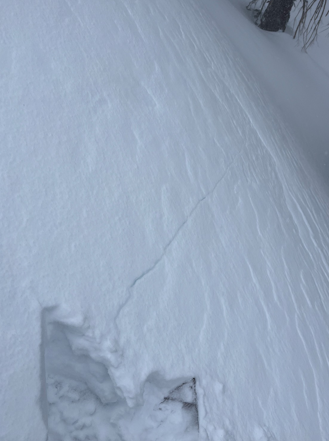
- Cracking
- specific
- Collapsing
- specific
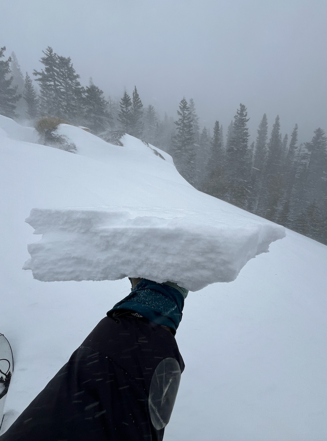
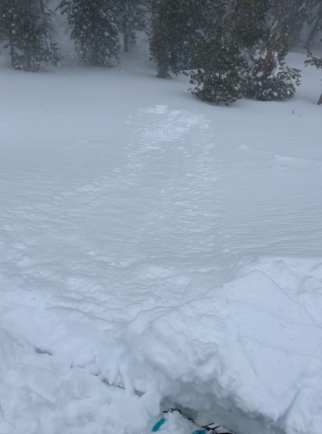
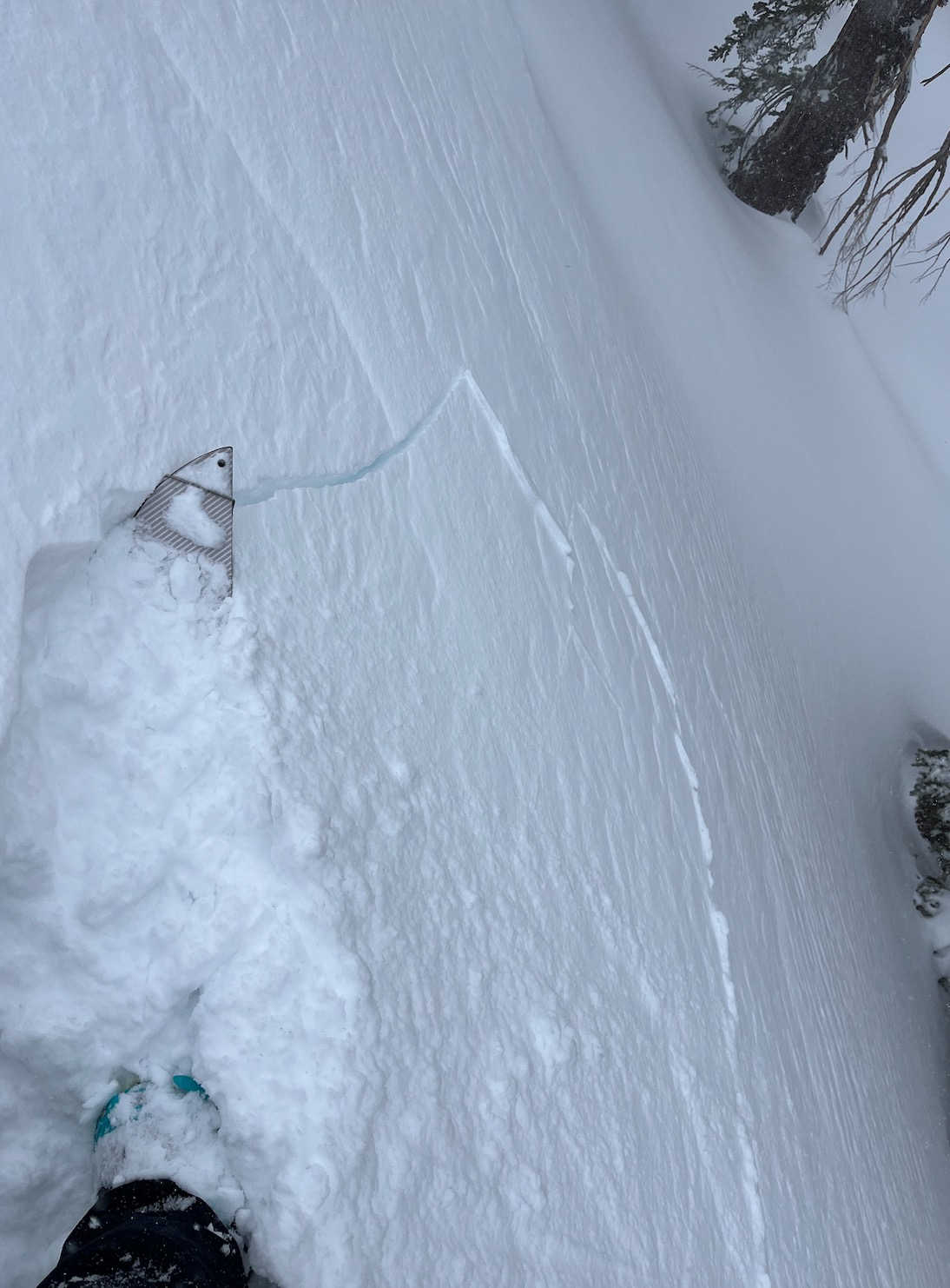
- I did not venture into avalanche terrain today. I did find reactive wind slabs and reactive storm slabs on small test slopes.
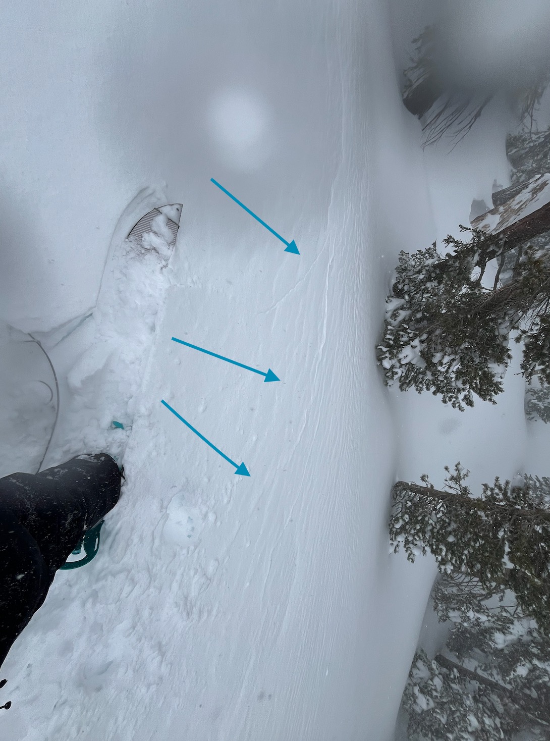
- Wind slabs were observed up to 1F, 25 cm deep. Breaking on precipitation particles from before the winds picked up this afternoon.
- Storm slabs were observed up to F+, 40 cm - barely stiff enough to call it a slab. Breaking on slight density changes in the new snow.
- Visibility was minimal due to consistent, intense blowing snow near and above treeline.
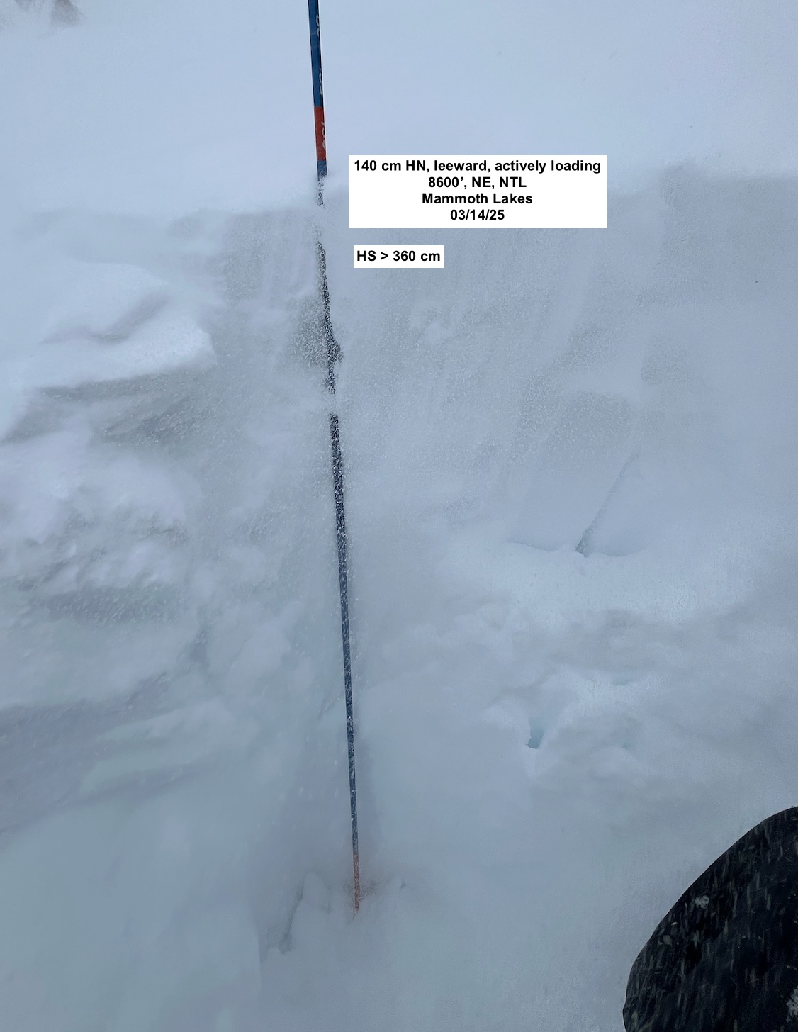
- I found areas of leeward terrain with height of snow > 360 cm.
- Height of snow ranged from 140 cm - 210 cm in somewhat sheltered northeast terrain, BTL, 8700'
- Height of new snow ranged from 60 cm (sheltered terrain) - 140 cm (leeward terrain).
Weather
- Air Temp
- 30
- Cloud Cover
- obscured
- Wind Loading
- intense
- Recent Snowfall
- 60 - 140 cm
- Snow Avail For Transport
- large amounts
Consistent extreme winds and intense blowing snow. Limited visibility. Hard to tell if it was actively snowing or just blowing. Temps were below freezing.