
Quick report
Wednesday's cold front following a string of decent overnight refreezes has helped the upper snowpack lock up. Pole probing 1 to 2 feet deep identified a couple of softer/ weaker layers but they were much less discernable than a week ago. Continue to practice good backcountry travel protocol by monitoring surface softening and minimize exposure in steeper terrain during peak daytime warming, and always carry avalanche rescue gear.
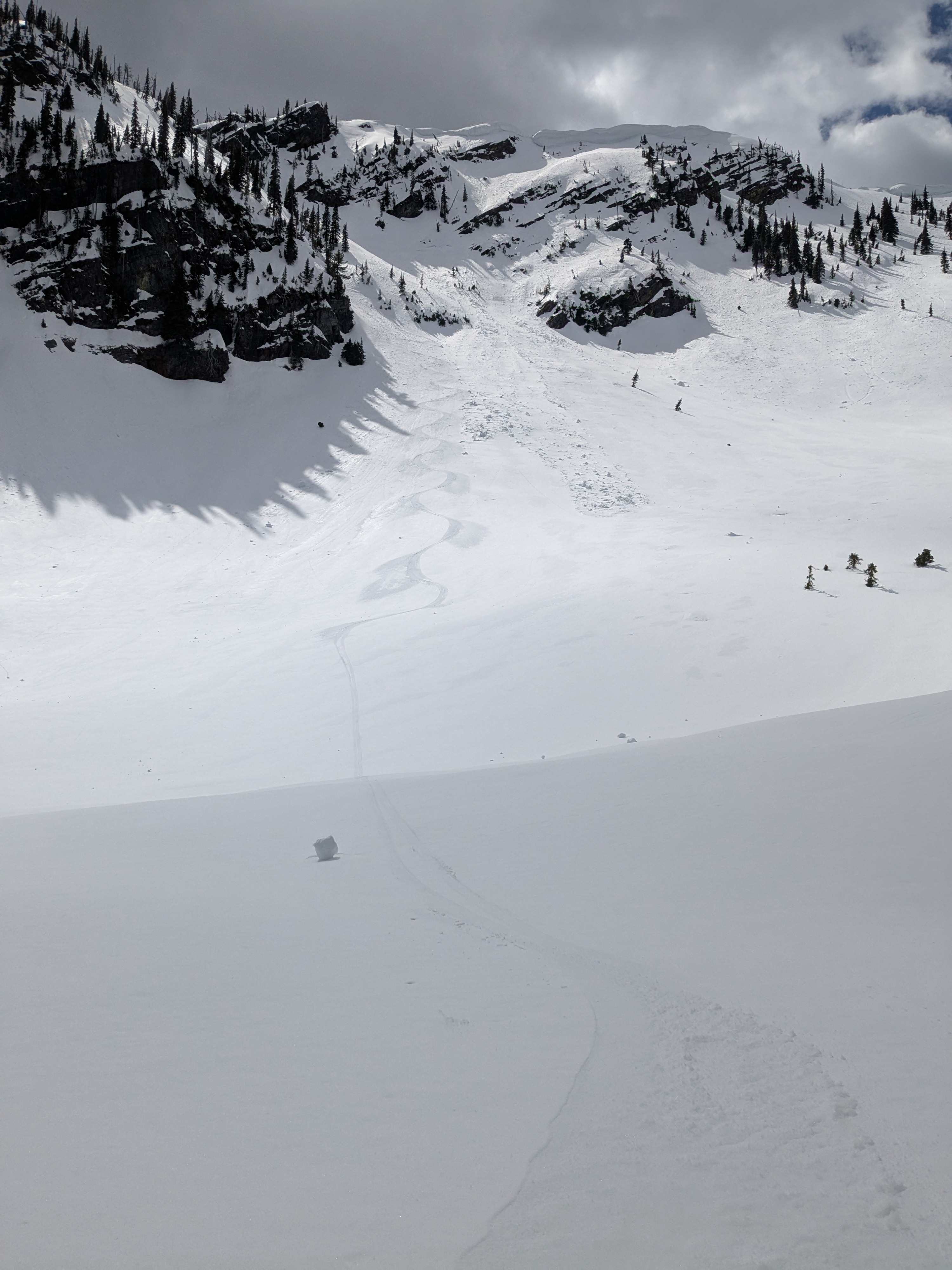
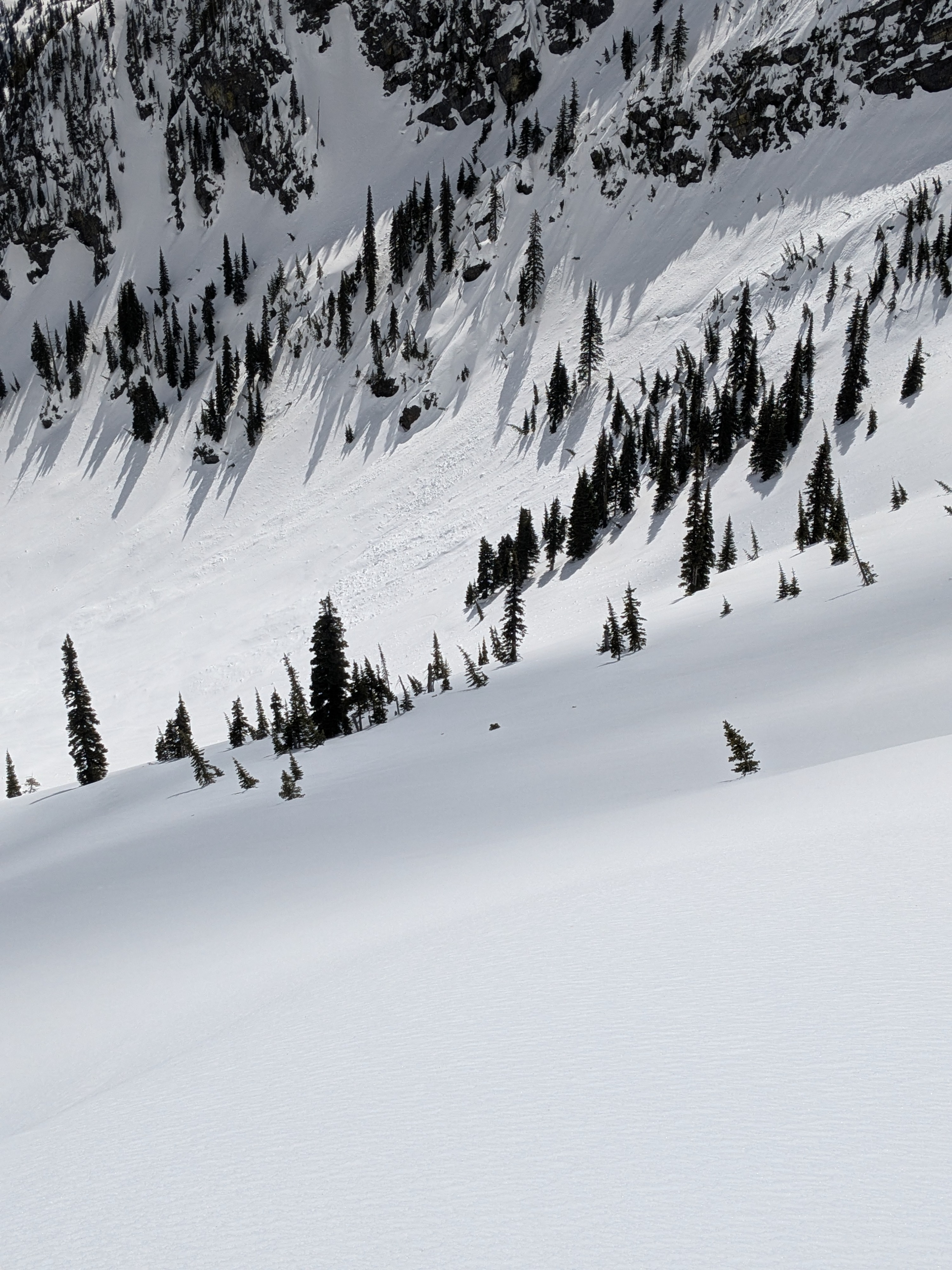
Most recent evidence of wet snow slides/ sluffs likely from last Thursday to Friday warm-up, April 10 and 11.Weather
- Cloud Cover
- scattered
- Wind Loading
- none
- Recent Snowfall
- 2 to 5
- Snow Avail For Transport
- small smounts
Mix of sun and clouds with a light breeze along ridgelines.
Snowpack
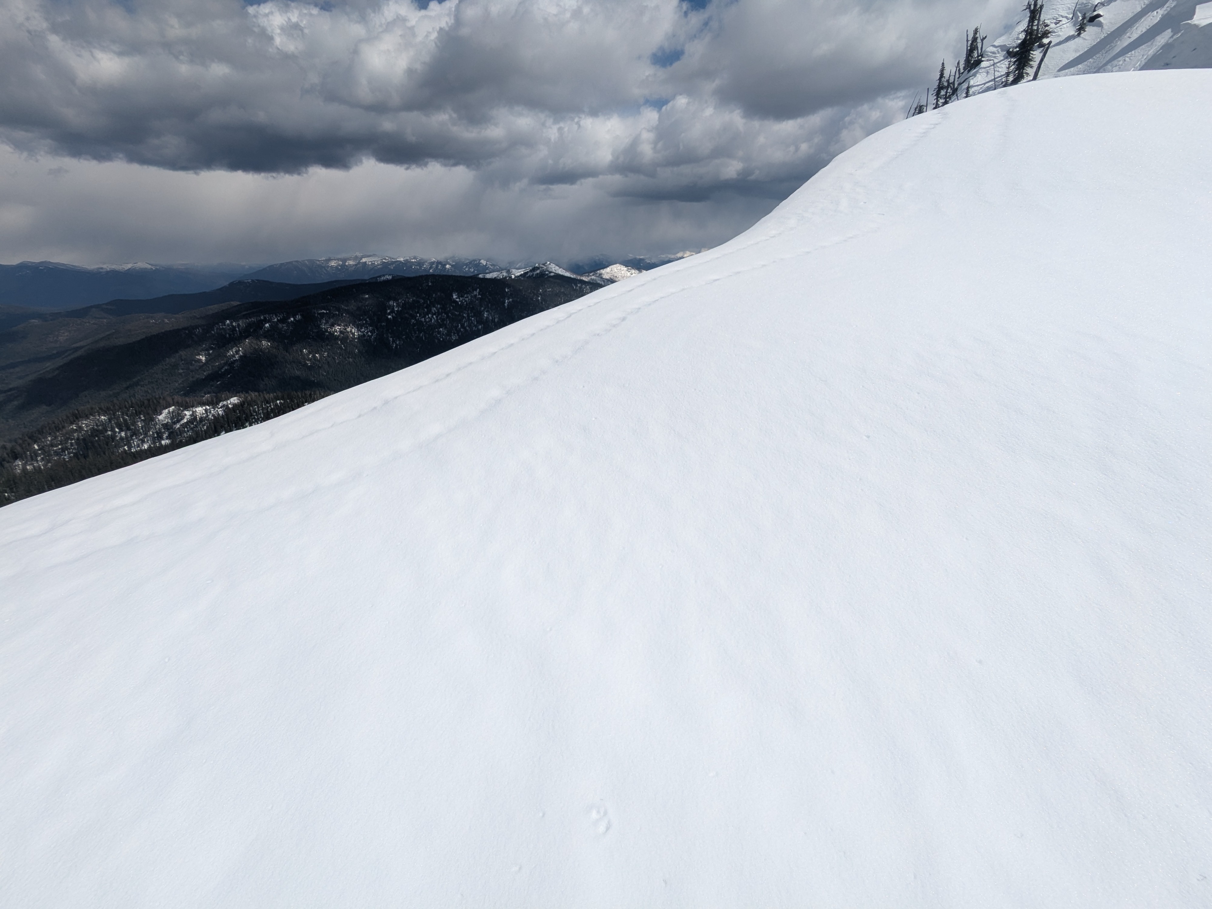
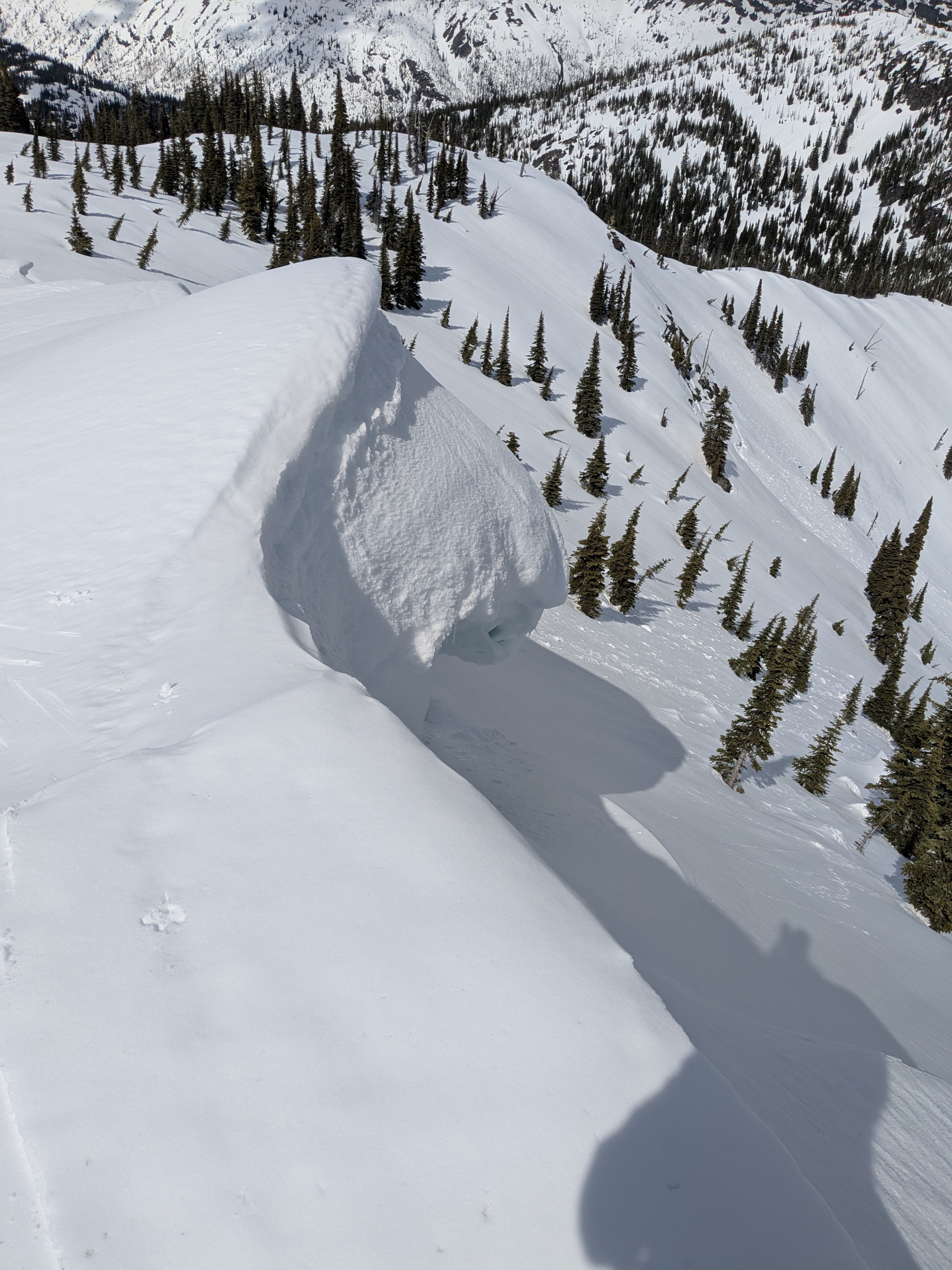
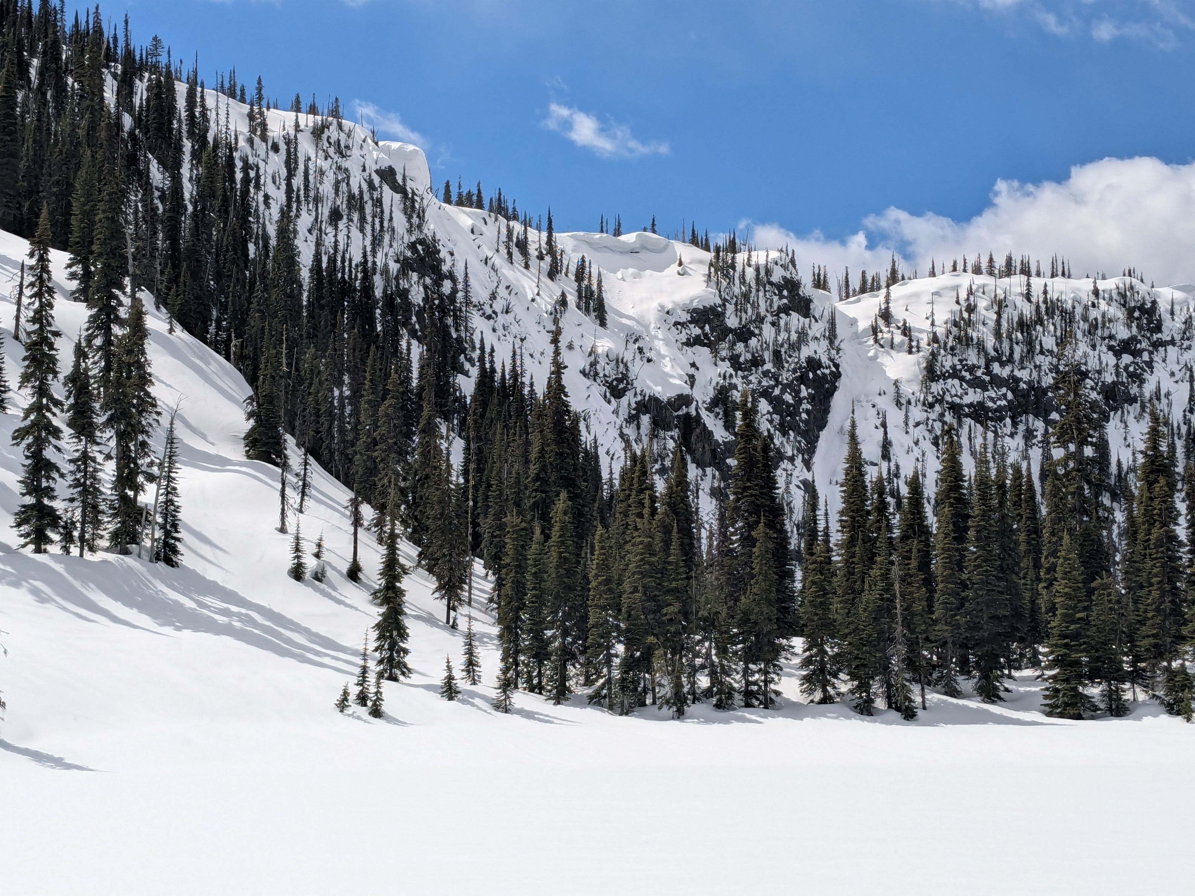
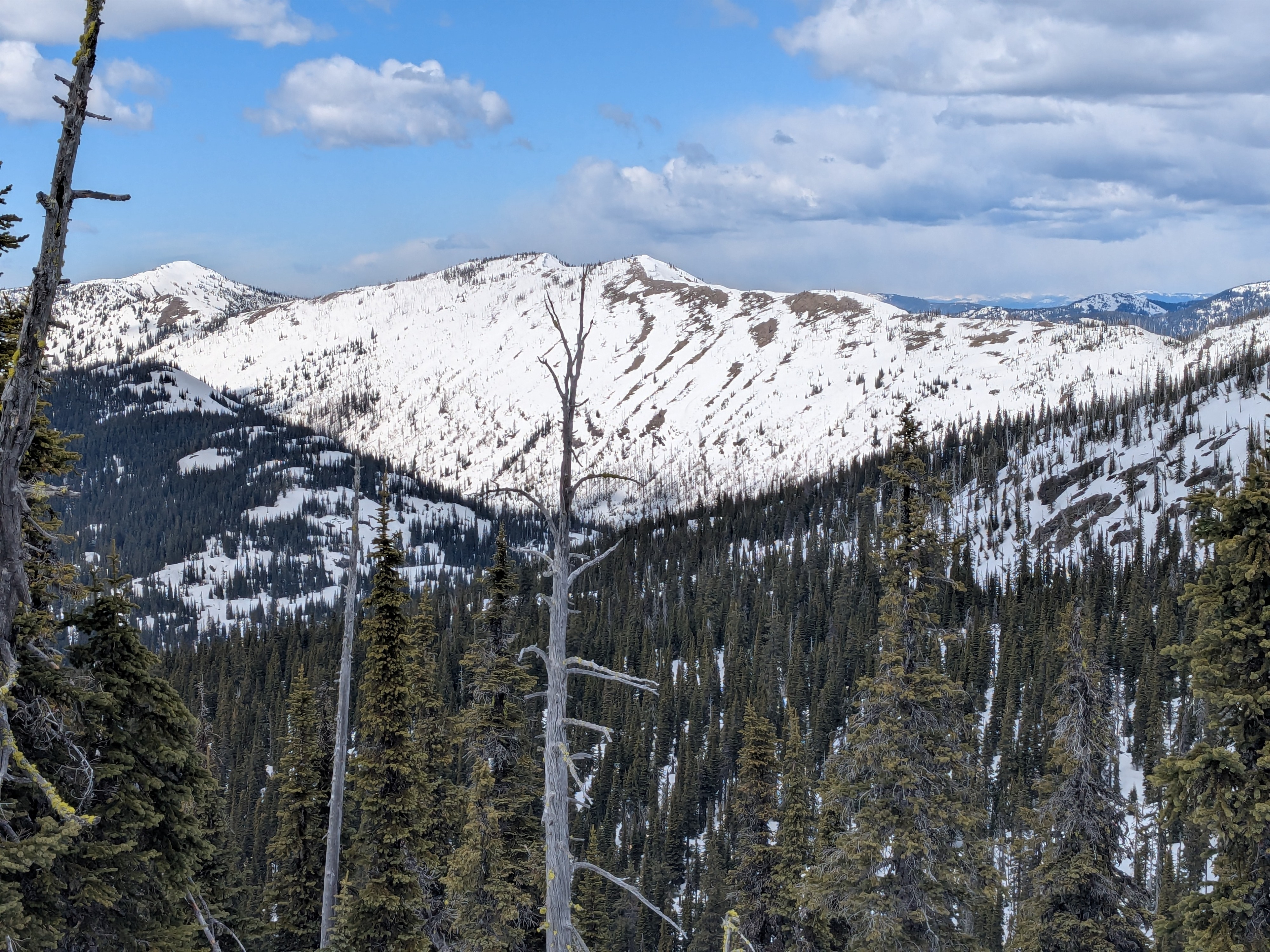
We found a supportive upper snowpack across aspects and elevations in the morning. Today's partly cloudy skies kept snow surfaces in check on sunny slopes, but the top 1 to 2 inches softened into nice corn snow conditions on east through south to west-facing slopes. No sluffing noted with ski pressure. We encountered a skiff of snow up to about 2 inches from Wednesday's cold front - mostly around 5,000 feet and higher. Despite extended periods of sunshine warming the surface, we did not notice rollerballing of the new snow. As we climbed above 6,500 feet and when traveling along ridgelines, there were isolated pockets beneath ridges and on side walls of gullies/ couloirs with drifts 4 to 5 inches deep. The strong, erratic winds yesterday left these deeper drifts in no organized pattern. They were also fairly glued to the old snow surface and reluctant to sluff with ski pressure - but minor sluffing noted on slopes that approached 40 degrees. All in all, northerly-facing slopes remained cold and chalky. Throughout our travels, boot penetration was mostly on the surface up to 3 to 4 inches by the afternoon on southerly-slopes - slightly less on east and west-facing slopes. By the afternoon and at elevations below 5,000 feet, boot penetration increased to around 6 inches. Breaking this deep often required a bit of stomping to break through the supportive snow surface. Pole probing across multiple aspects/ elevations yielded a mostly uniform upper snowpack. It was difficult to punch through a layer around 30 cm deep, and by 60 cm, we couldn't break through without significant force. There are obvious softer/ weaker snow layers in the top 1 to 2 feet but they have become much less discernable than during the non-freezing overnight temperatures of last week. Of note, and for the first time this season, we noticed long-running cracks on the ridgeline above large, overhanging corncies. This is a good indicator to give these sagging beast an extra buffer in the spring - especially following non-freezing nights and during peak daytime warming.
Avalanche
- Size
- D1.5
- Type
- WL
- Count
- 3
- Aspect
- SE
- Trigger
- N
- Elevation
- 6300 ft