
Quick report
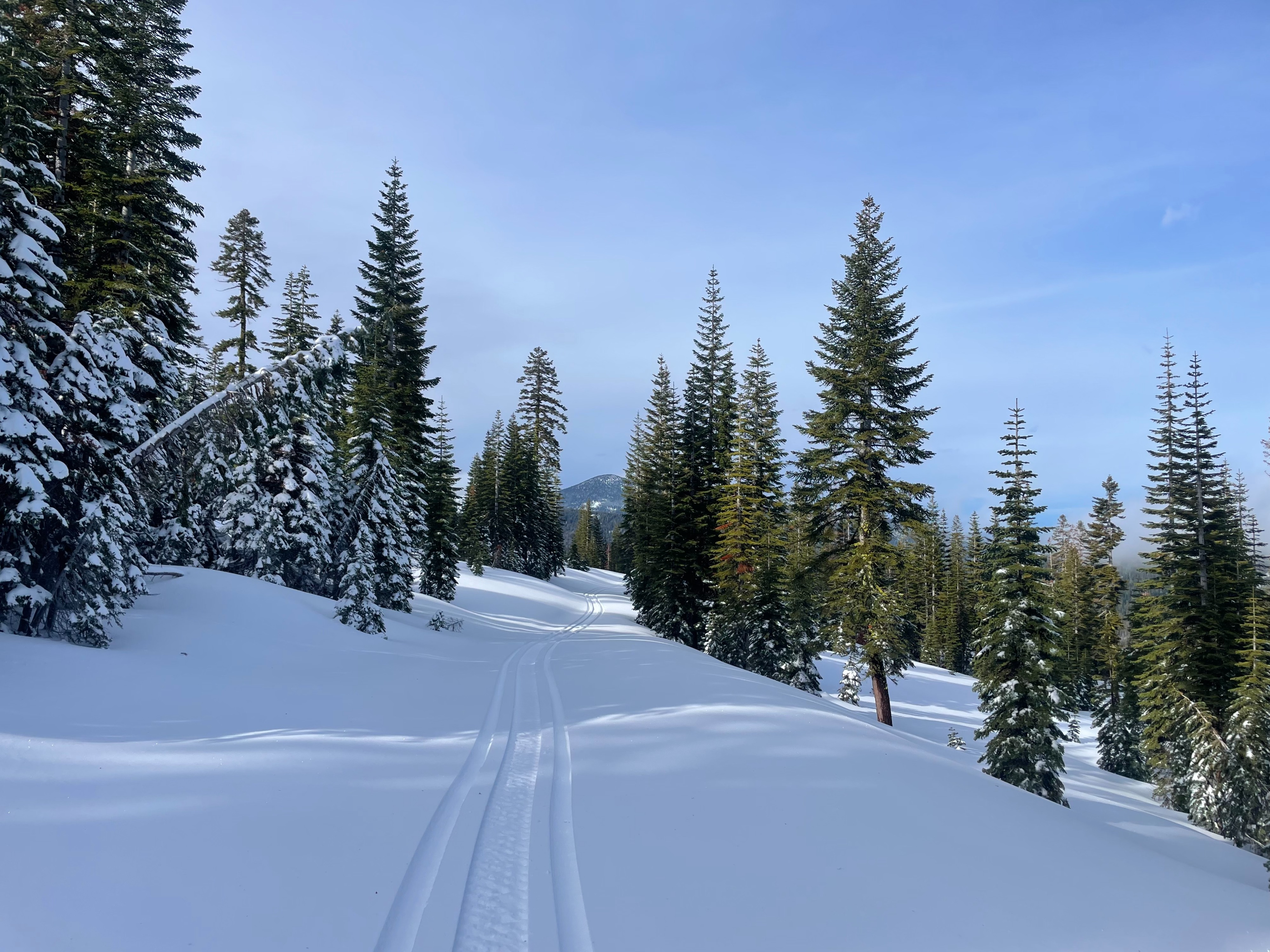
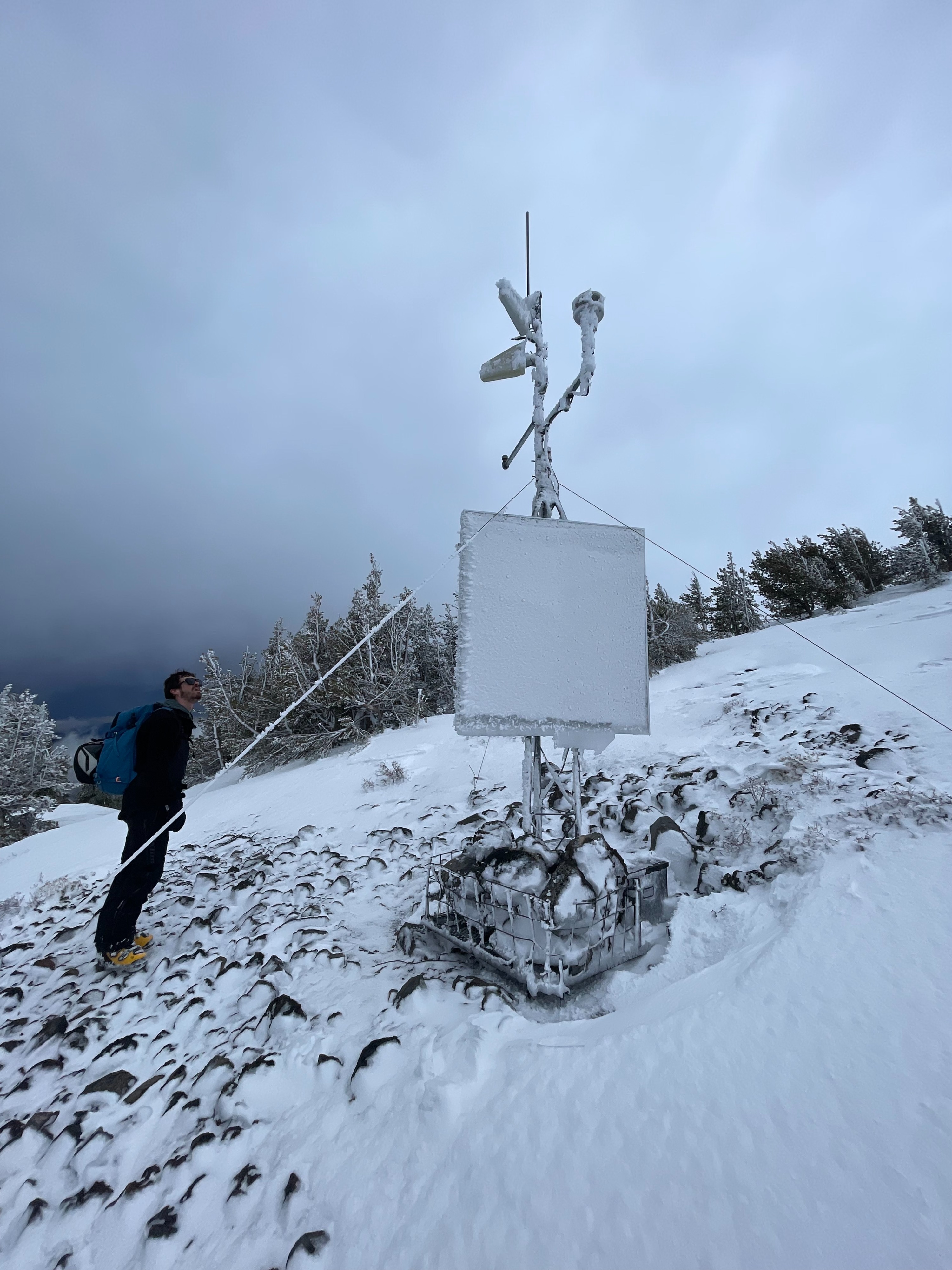
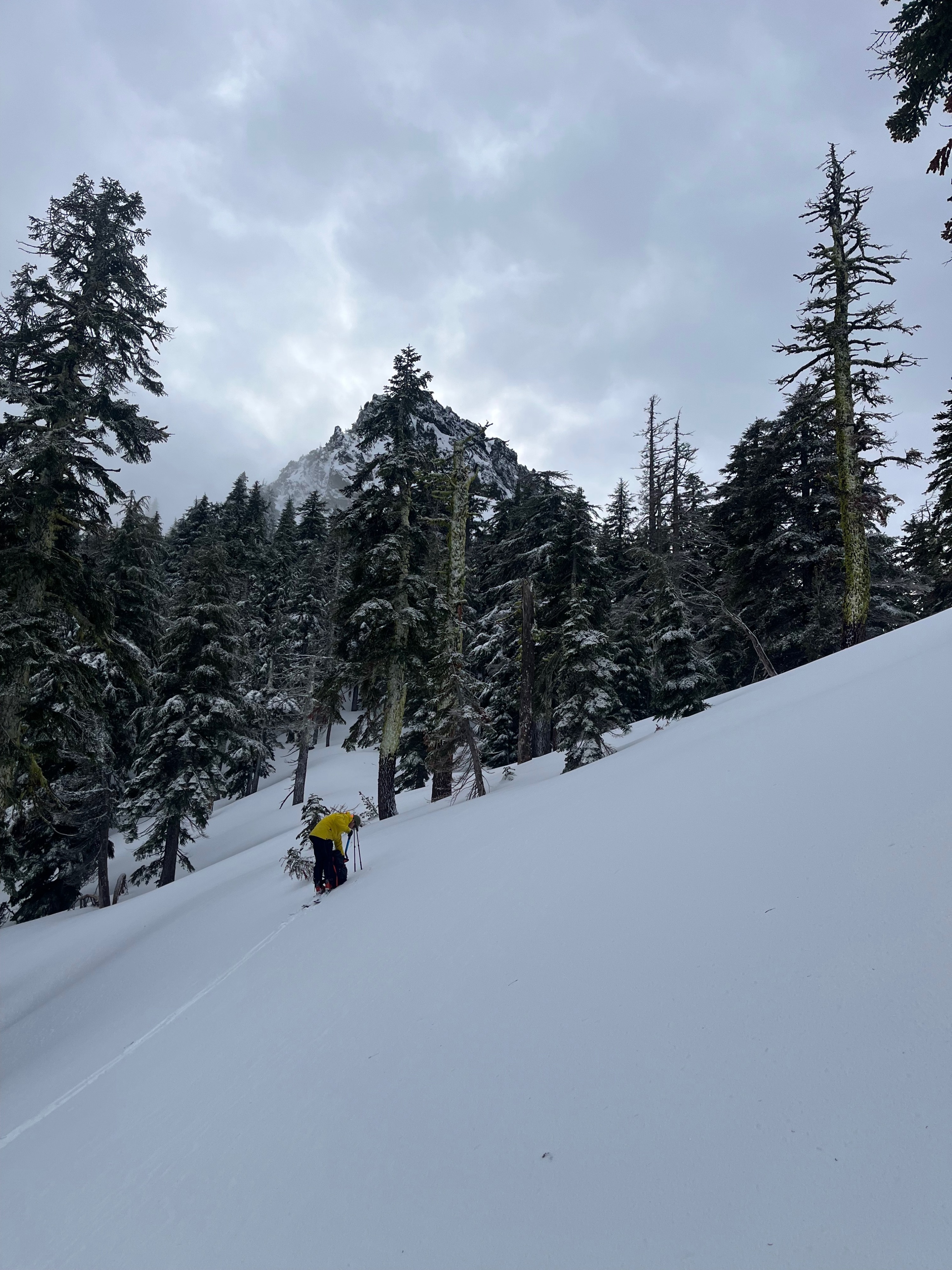
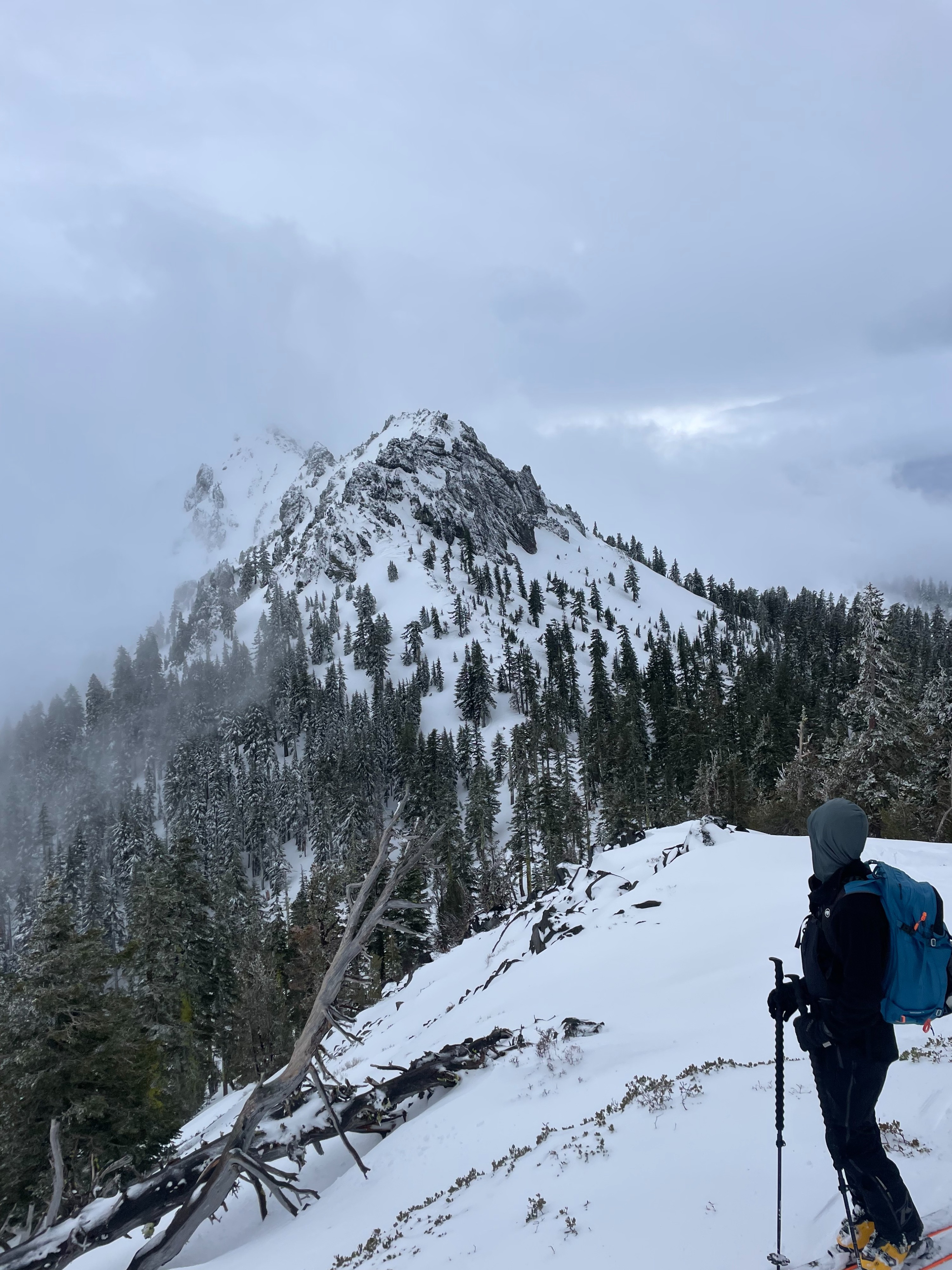
Today's objective was to assess wind slab development in the Ash Creek Butte area, and troubleshoot the Ash Creek Butte weather station. This area has definitely experienced serious wind loading in the last few days. Severe wind effect was found on all exposed slopes and ridges near treeline. In many areas, all recent soft snow had been stripped down to an icy crust. Dense wind slab could be felt across easterly slopes, well below ridges and convexities. In the observed terrain (below and near treeline), very few measurable signs of instability could be found. That being said, if someone were to ski off the summit into the east bowl, I suspect instability would show itself.
As for the weather station, more work will be needed.
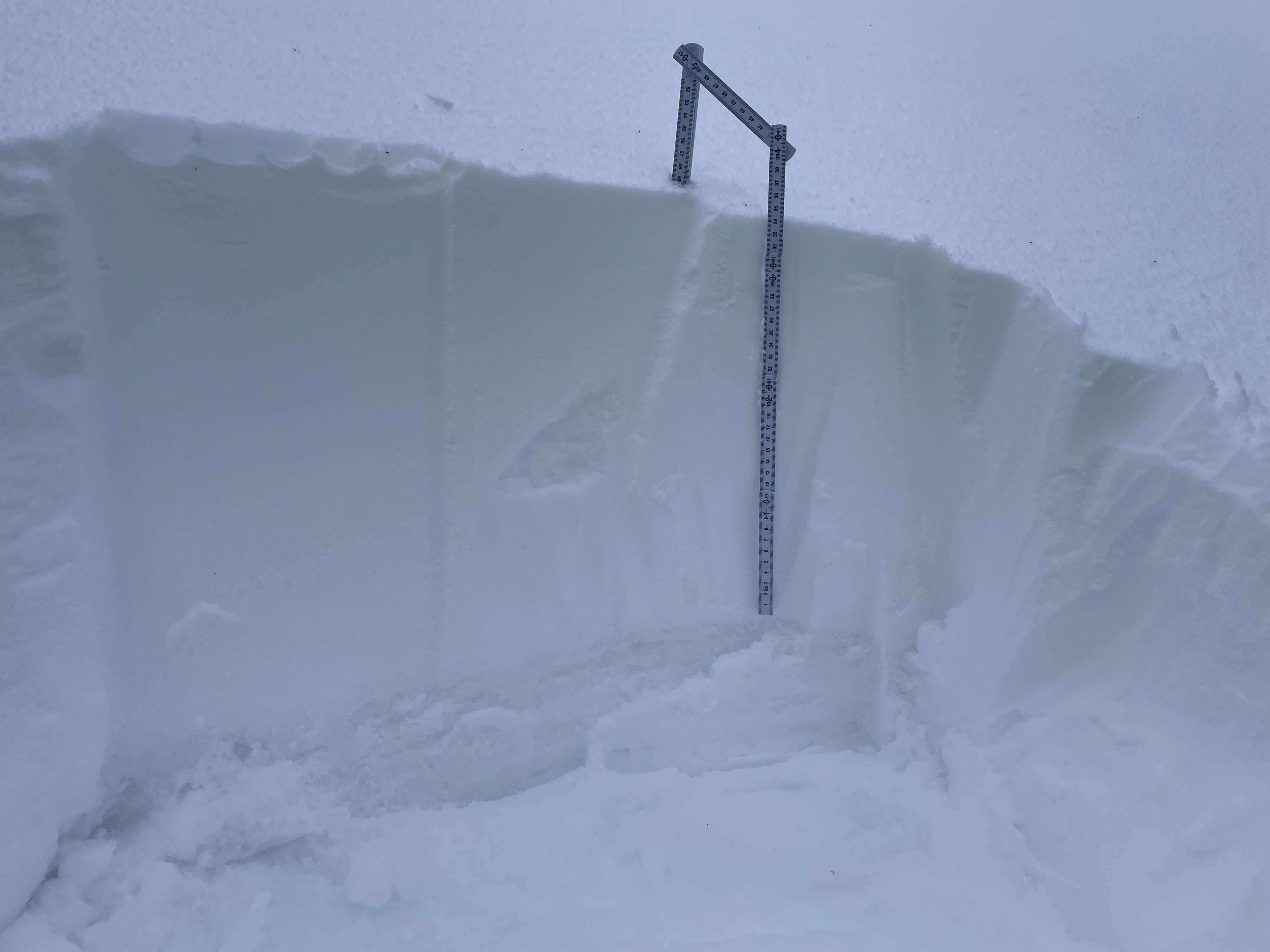
All signs of instability were associated with the recent wind loading. Active wind loading could be seen across all above treeline terrain on Mount Shasta and the summit ridge of Ash Creek Butte. Wind loaded slopes could be found across the east bowl of Ash Creek Butte from the summit to as low as 7,500 feet. A pit was dug at 7,600 feet on an east aspect, revealing 35 cm (13 in) of recent snow in a complete upside-down snow structure. Within the new snow, the surface was 1-finger hard, and the bottom softened to fist. A quick compression test found multiple failures within the upside-down snowpack, failing on density changes. No significant cracking could be initiated by ski cut.Weather
- Air Temp
- 27
- Cloud Cover
- obscured
- Wind Loading
- moderate
- Rain Elevation
- 5,000
- Recent Snowfall
- 15-20
- Snow Avail For Transport
- small smounts
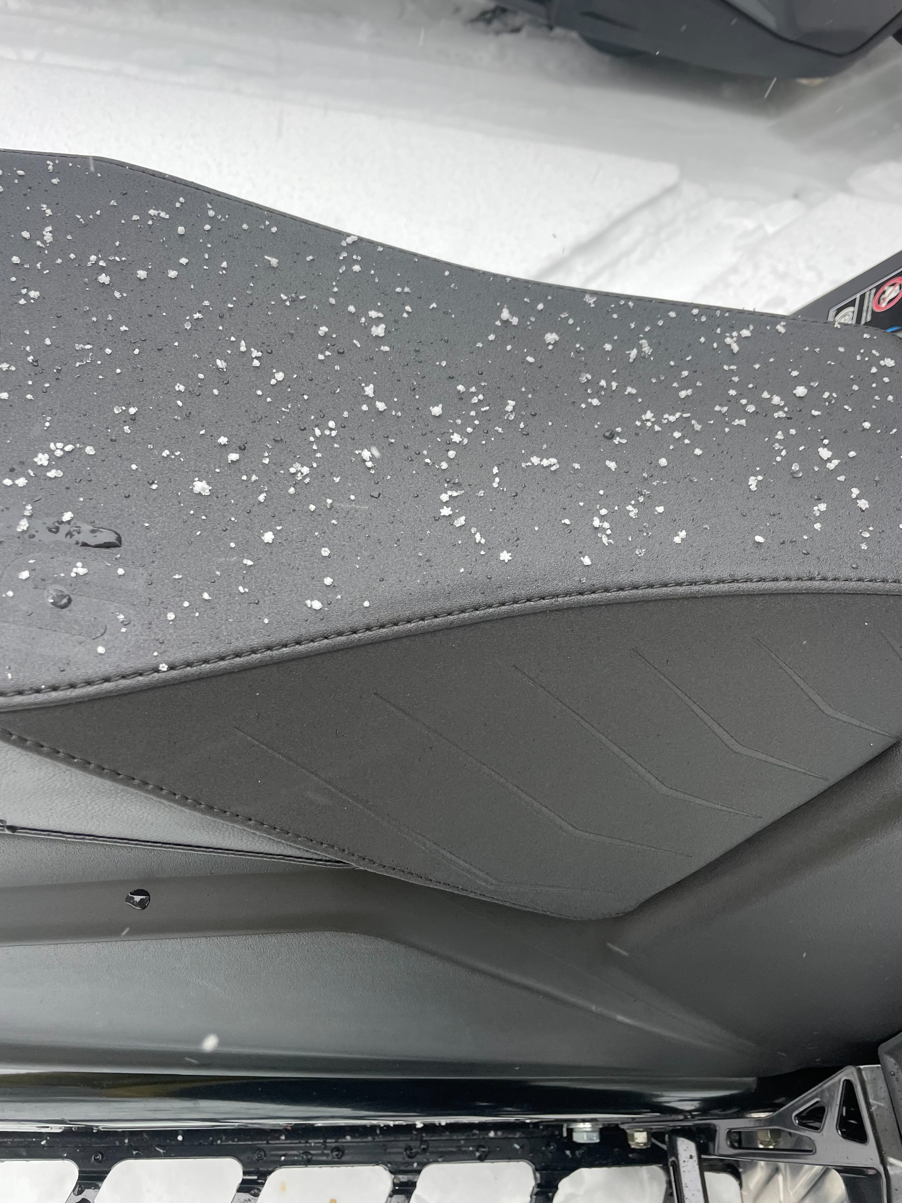
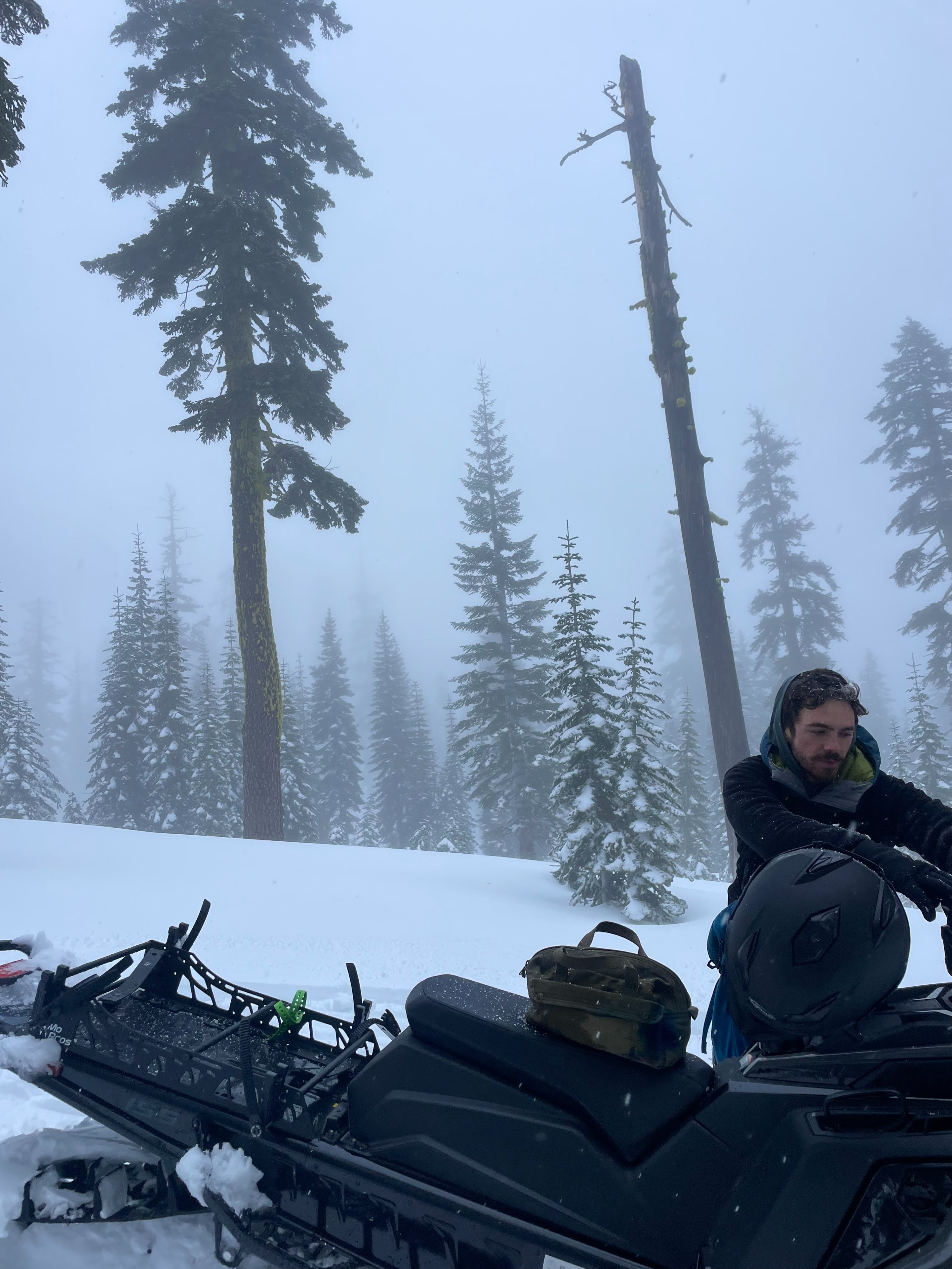
Sky cover was in constant flux, ranging from blue skies to dense fog, and changing every five to ten minutes. Westerly wind continued, remaining mostly unnoticeable below treeline, but moderate-strong near and above treeline. Light precipitation began around 3 pm, with a snow level around 5,000 feet.
Snowpack
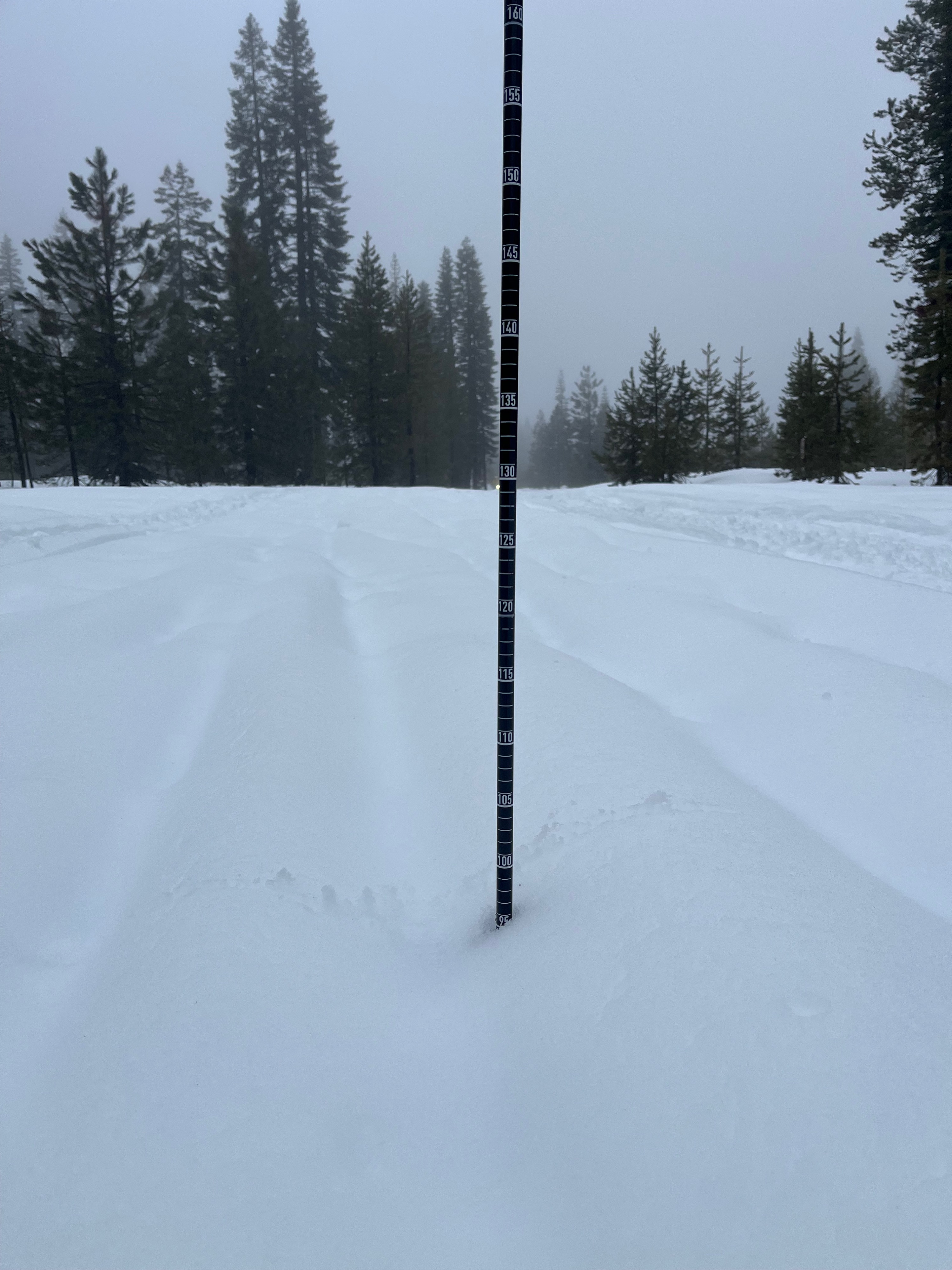
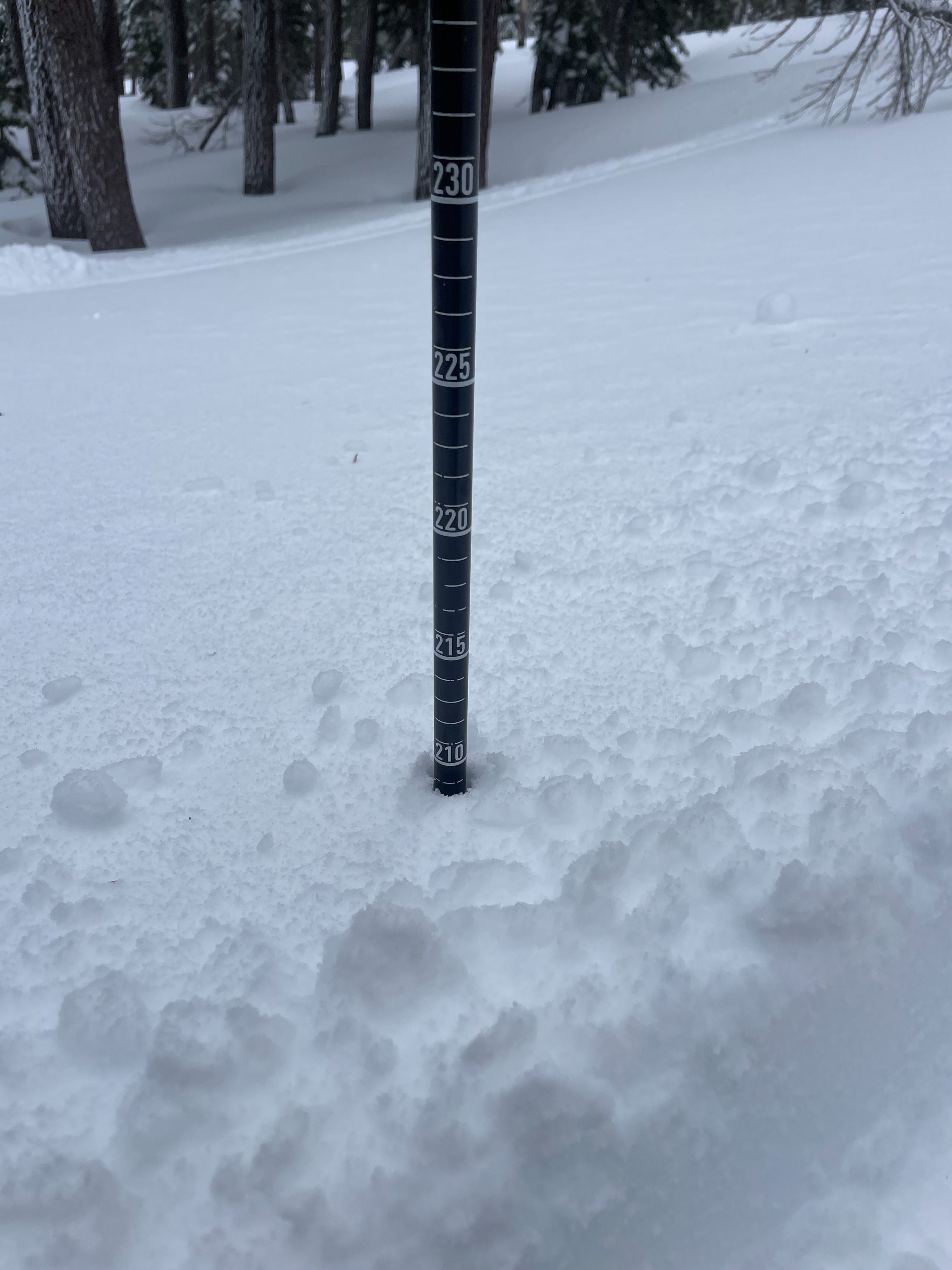
At 5,700 feet on the 19 Road, a snow depth of 95 cm was measured. At 7,500 feet, snow depth was 210 cm. On an east aspect at 7,600 feet, 35 cm (13 in) of recent snow was found on top of the rain crust from earlier this week. The recent snow contains a wind slab crust on top, with lower density snow underneath.