
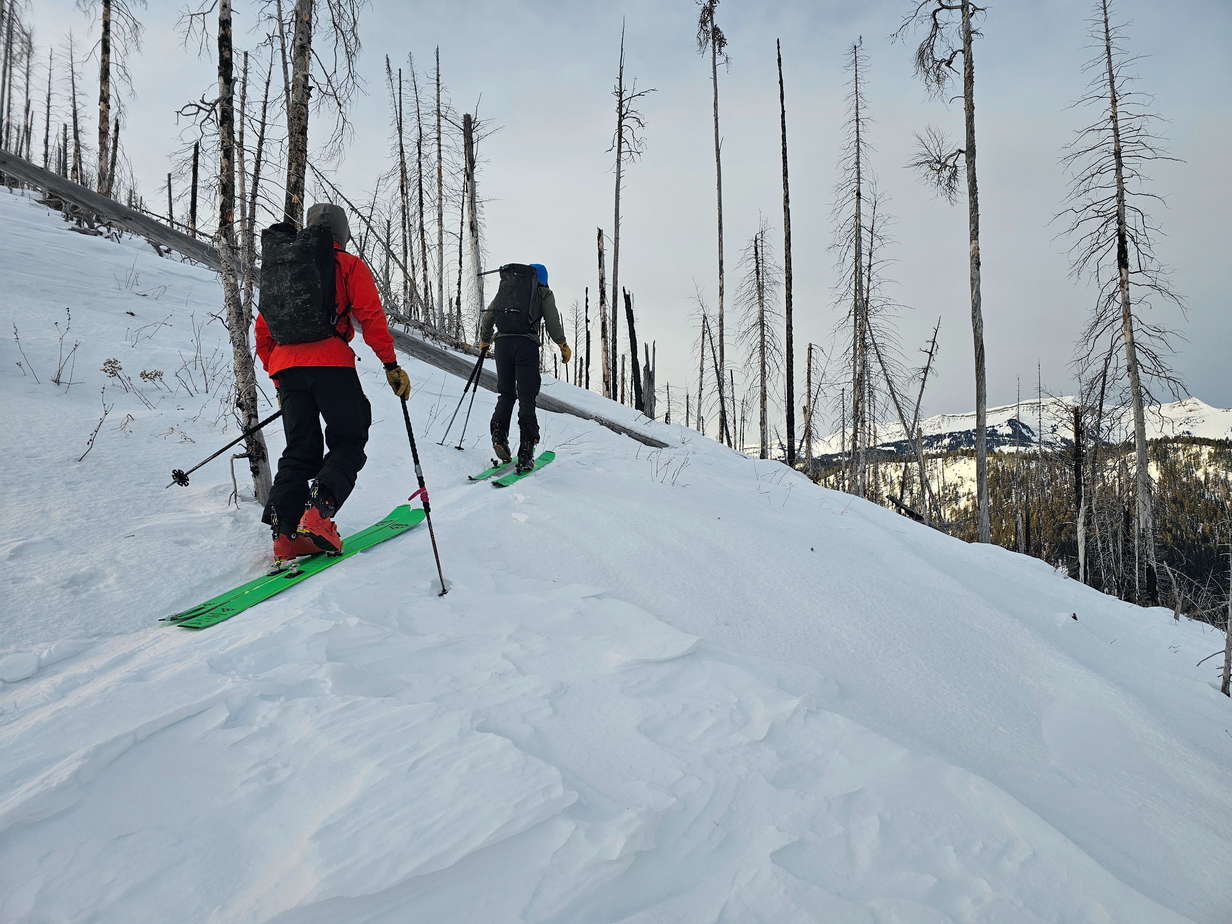
Quick report
In the Cliff Creek area we found around 50cm of snow at the trialhead, and deeper areas having 80-90cm of snow.
Winds picked up and we would occasionally see some of the surface facets getting blown around, but there is really not much snow available for transport.
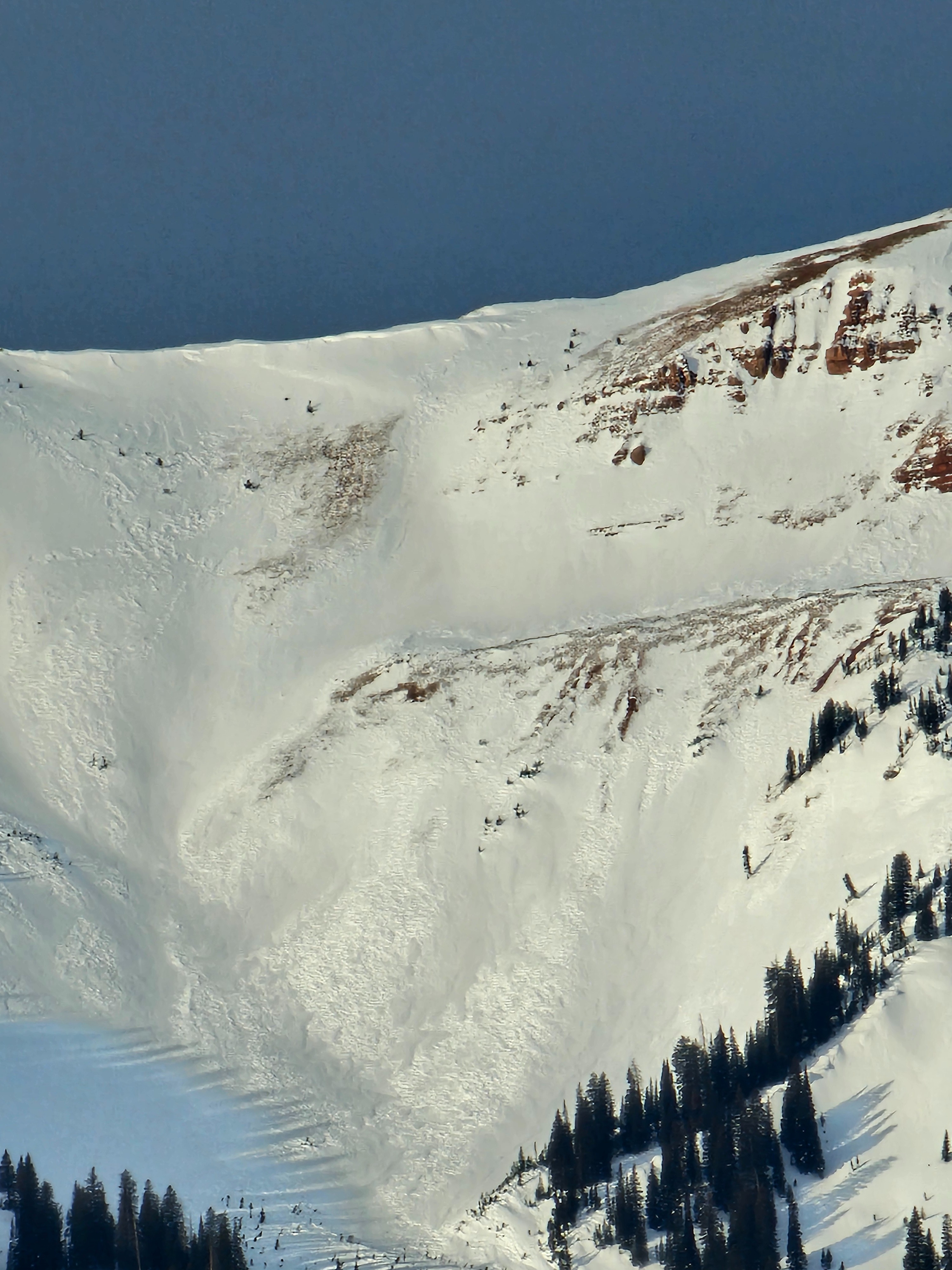
We were able to get eyes on high elevation peaks in the Gros Ventre and Wyoming Range, all the high peaks had heavy wind effect. Winds were blowing up there and you could spot the occasional erratic snow plume, but overall there was minimal transport.
Weather
- Cloud Cover
- broken
- Wind Loading
- previous
- Snow Avail For Transport
- small smounts
Cold morning in Hoback Canyon. Winds and clouds increased through the morning, moderate, gusting strong from the west. Clouds were in and out, but mostly cloudy with high clouds. Snow surfaces remained cold.
Snowpack
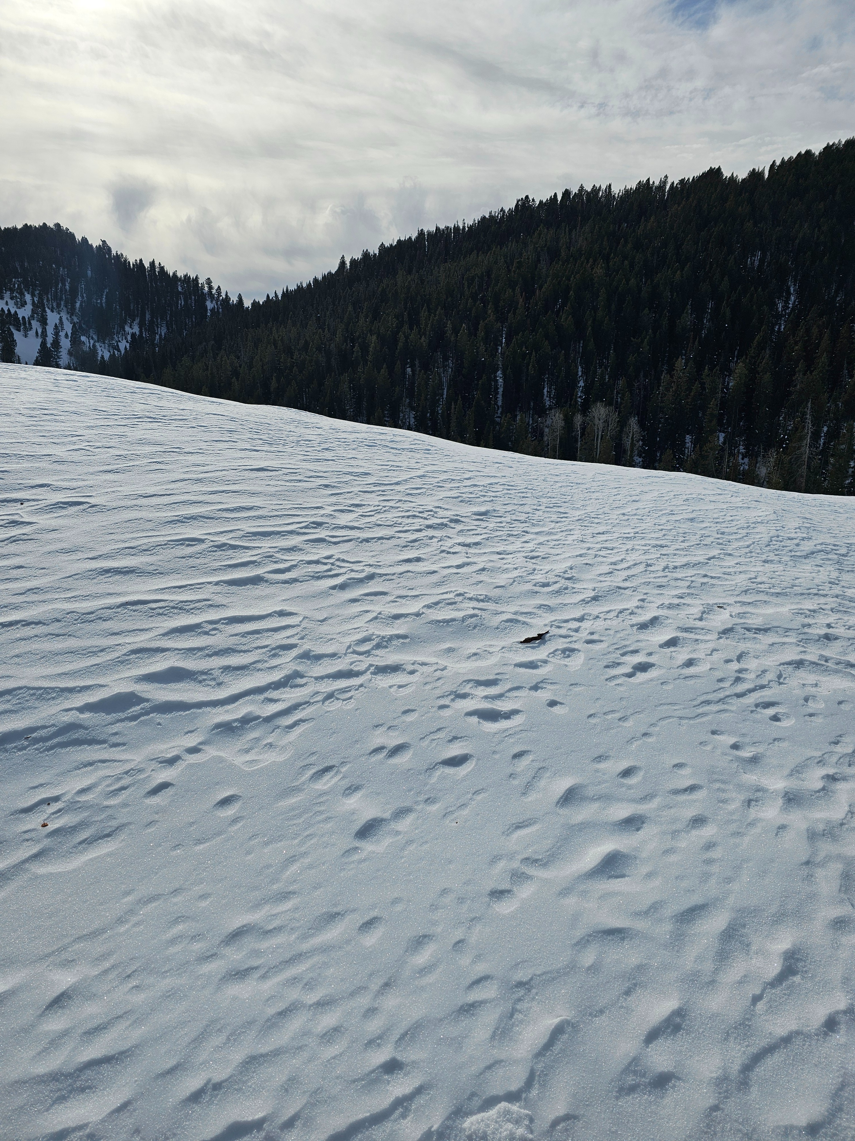
The snow surface is a bit of a war zone. Steep solar aspects have a breakable sun crust. All aspects have some sort of wind affect, very stiff wind board and old drifts exist near ridgelines. Cold, recycled snow exists on protected W-N-E facing slopes, but has generally still been kissed by the wind.
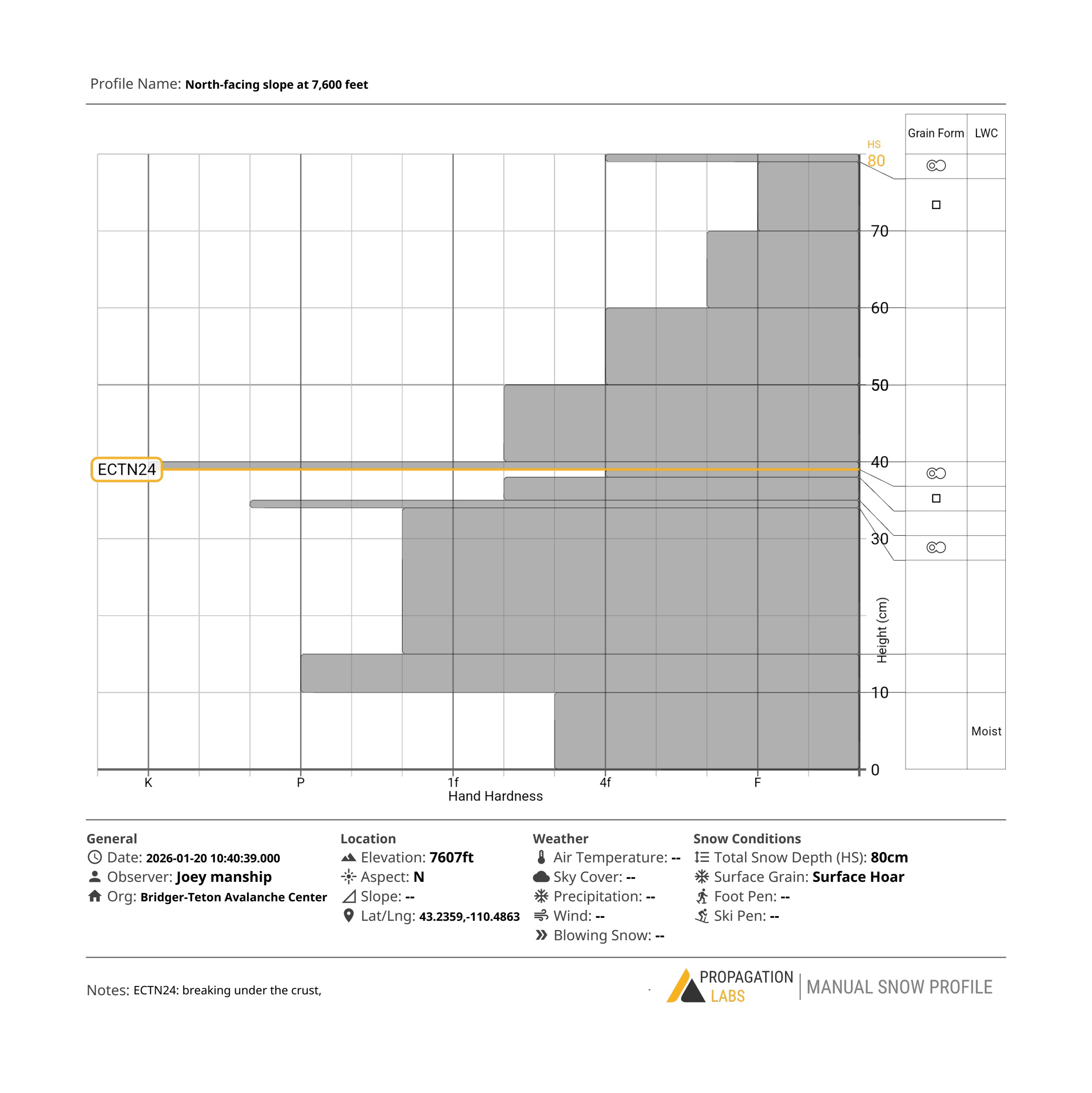
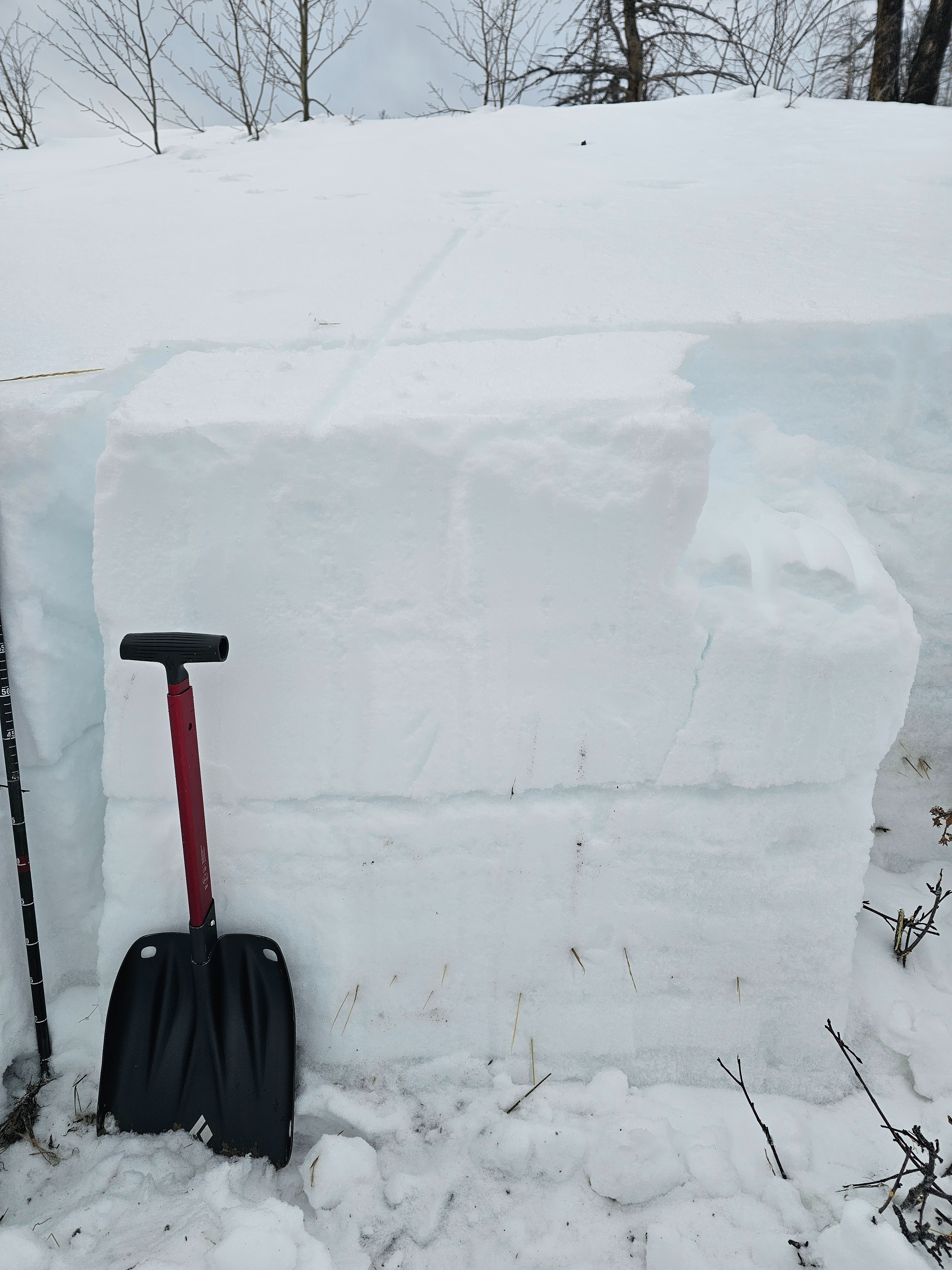
Below the surface, the top 20cm of snow has become faceted and weak. Overall the snowpack was right side up, there is some less cohesive snow at the ground, but it is moist and has gained strength. Like many other places, there are distinct crusts from rain on snow events. In this location the 12/26 crust was very prominent with faceting undernearth.
Overall, the snowpack is relatively stable for now. When it snows again, the new snow/old snow interface will be my biggest concern.