
Quick report
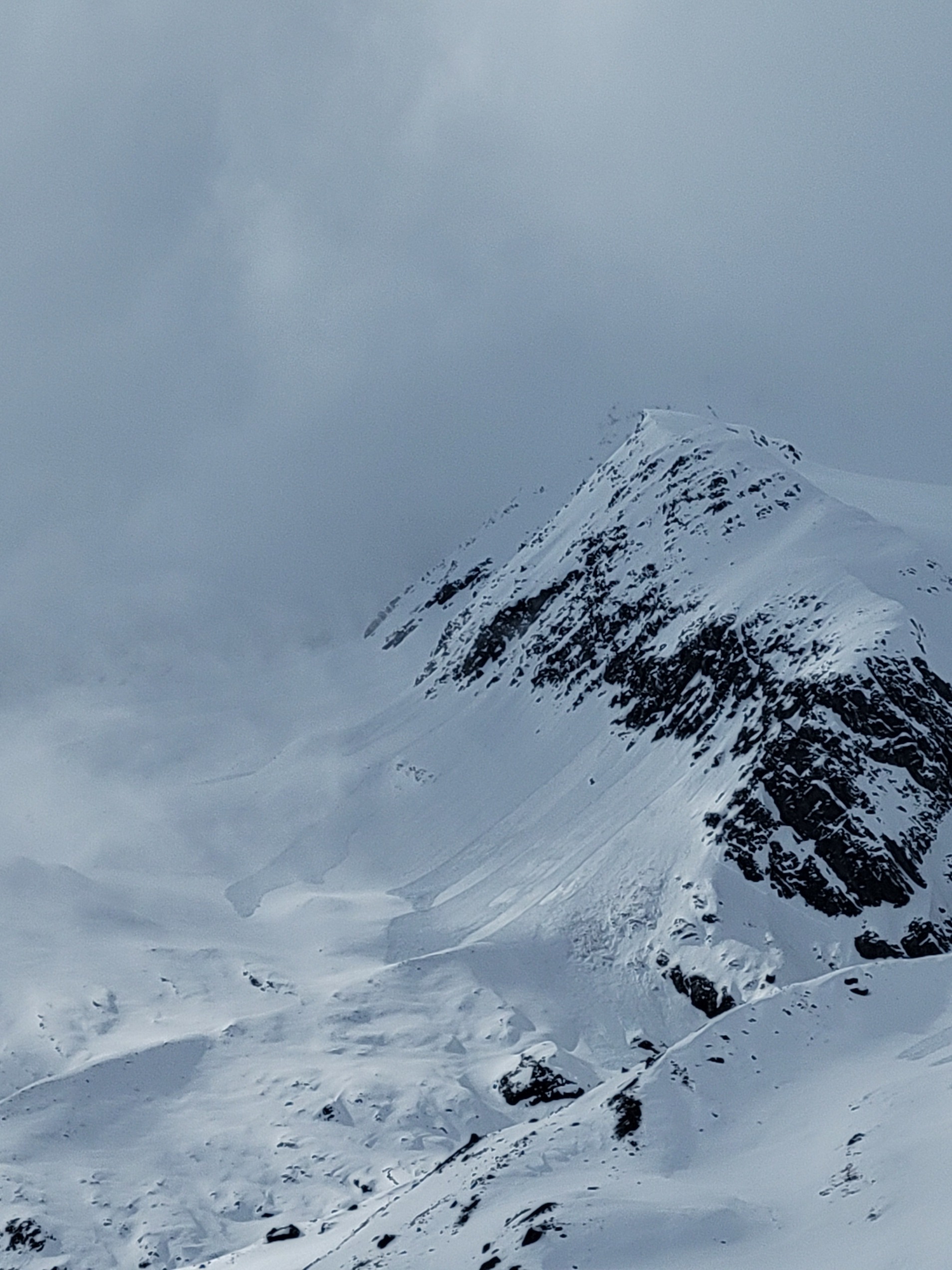
Solar aspects were producing widespread wet loose activity.
Weather
- Air Temp
- 40 near the road low 30s up high
- Cloud Cover
- few
- Wind Loading
- none
- Recent Snowfall
- 10-15 obove 3000 ft
- Snow Avail For Transport
- large amounts
Overnight snowfall accumulations were 10-15cm above 3000 feet, with total storm accumulation of around 45cm in the area we observed. Clouds parted in the morning, giving way to sunny and warm conditions with solar-triggered activity occurring on most south to NW aspects in the afternoon. Later in the day, clouds moved back in with light snow showers and decreasing temperatures.
Snowpack
Overnight snowfall of 10-15 cm was observed above 3000 feet. Surprisingly, we found this snow to be dry for most of the way up despite temperatures above freezing. Accumulated storm slabs of 45cm at 4500 feet failed easily in hand pits below 20cm of slabby surface snow, and at the new old interface; however, no propagation was observed in pit tests or ski cuts. Despite the lack of propagation, we expect this storm snow to be sensitive to human triggers on steep terrain, especially where the slab is more consolidated or stressed by additional new snow.
Avalanche
Widespread wet loose activity on solar aspects, especially on steep, rocky terrain. Some of the larger Wet loose avalanches occurred near the top of the pass above Loveland glacier and on Cathers Mitt. Common up and down hill routes were overrun by these slides. Most other rocky solar aspects had D1-D2 wet loose activity up to ridgtops.