
Quick report
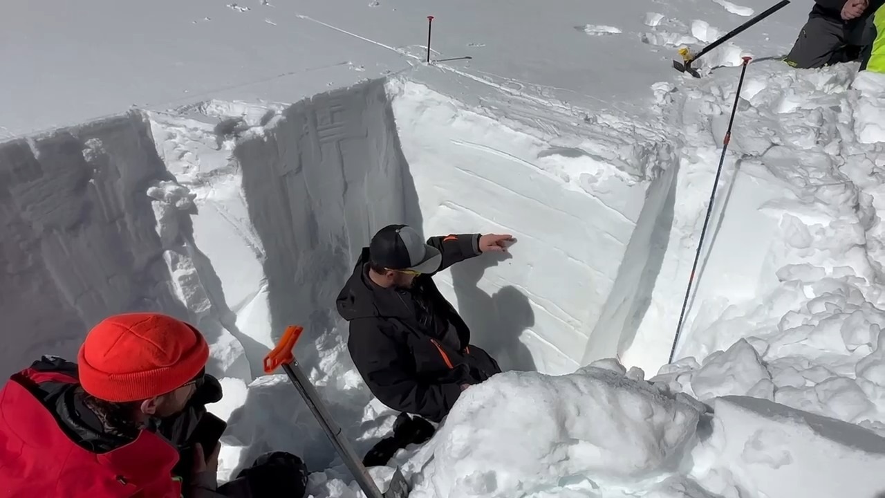
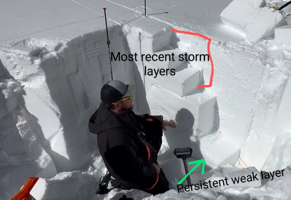
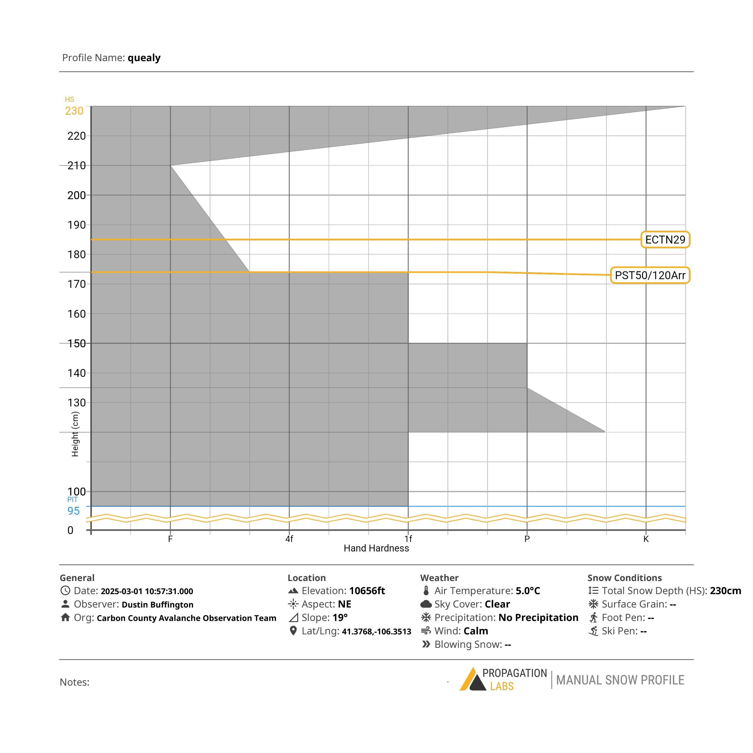
While performing our observations today, we observe a 1/2" thick ice crust sitting on the surface. Looking forward, this could pose a hazard as the snowpack increases with the incoming snowstorm. Our observation tests yielded minimal reactions (ECTN29@45cm down and PST50/120Arr@65cm down). The most recent storm layers seem to be the most reactive of the concerning layers, but they still seem to be fairly stable. The Persistent weak layer still resides in the snowpack at around 80cm down or 150 cm up. Due to the warm temperatures, the overall snowpack is dense and I feel comfortable calling it stable for the moment. However, even though there is little test reaction on the Persistent weak layer, keep in mind, it is still there and can still pose a hazard.
Weather
- Air Temp
- 41
- Cloud Cover
- clear
- Wind Loading
- light
- Recent Snowfall
- 0
- Snow Avail For Transport
- none
Snowpack
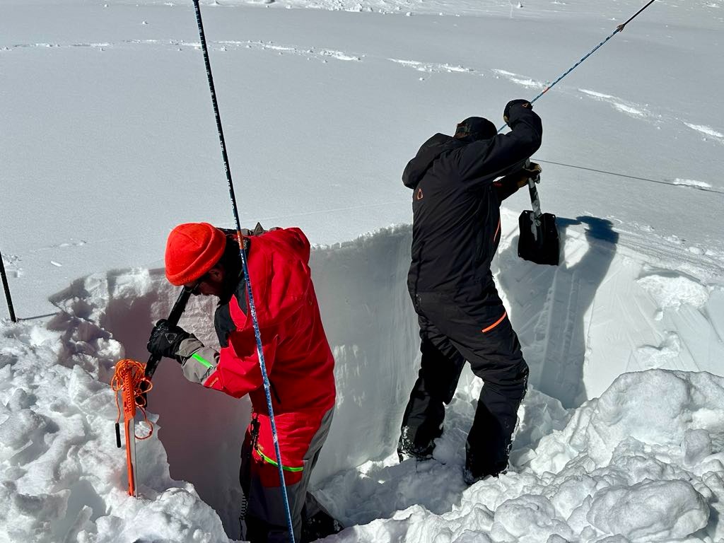
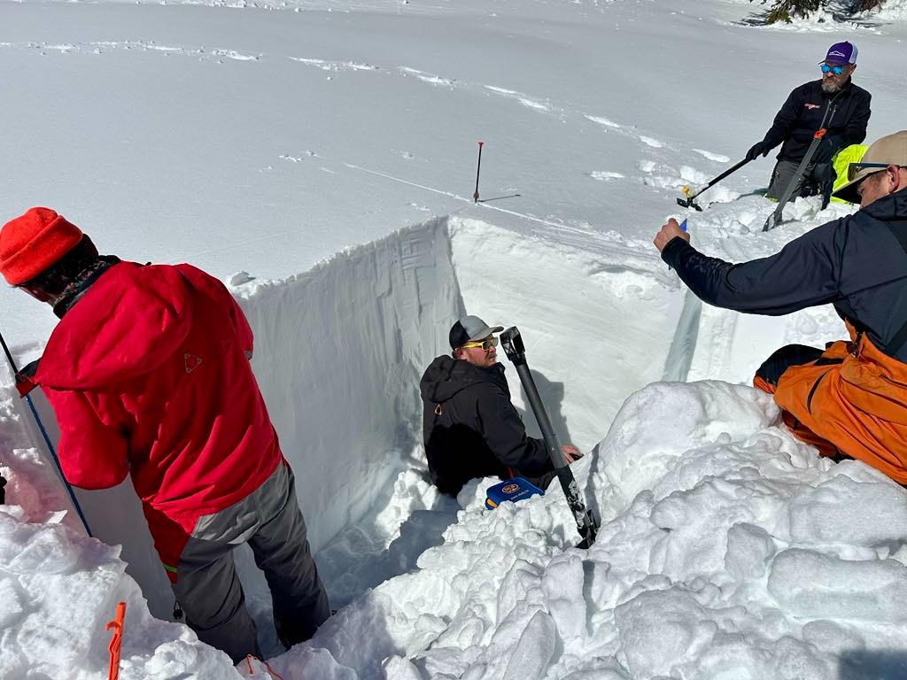
The snowpack measured at the site was 230cm deep and our test pit was 145cm deep. There is an ice crust on the surface of the snow about 1/2" thick with snow density under that ranging from Fist at the surface to pencil dense in the middle to 4 finger at the bottom of the test pit.