
Quick report
- Aspect
- East
- Red Flags
- Collapsing, Rapid Warming, Poor Snowpack Structure
- Elevation
- 2682 m
- Slope Angle
- 13°
- Red Flags Comment
- <p>We observed localized collapsing (5-8m radius) in both sheltered and unsheltered terrain we traveled. </p>
Snowpack
- Instability Comment
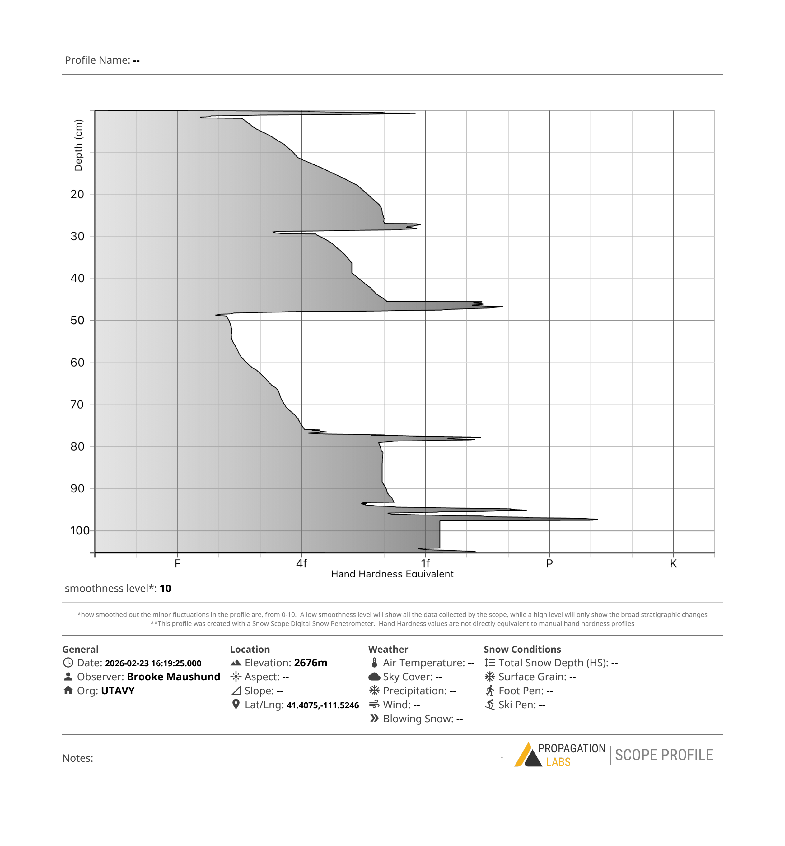
- <p>The Dry January Layer (DJL) is sitting beneath an increasingly consolidating and wetting 19-24 inch hefty slab of snow from last week's storms. This strong over weak structure is the recipe for avalanches, and will not be going away anytime soon. </p>
The Monte Cristo zone certainly has more coverage than when Nikki and I rode here about a month ago. However, what once was fresh powder from last week's series of storms is now becoming wetted and consolidating into what can only be described as 19-24 inches of wet, warm, shmoo over top the weak old snow from our dry January. Cold snow surfaces can still be found on northerly terrain. While there was primarily no pre-existing melt-freeze crust from days prior in areas we traveled, I'd expect there will be one by tomorrow morning after todays high temps and sunny skies.