
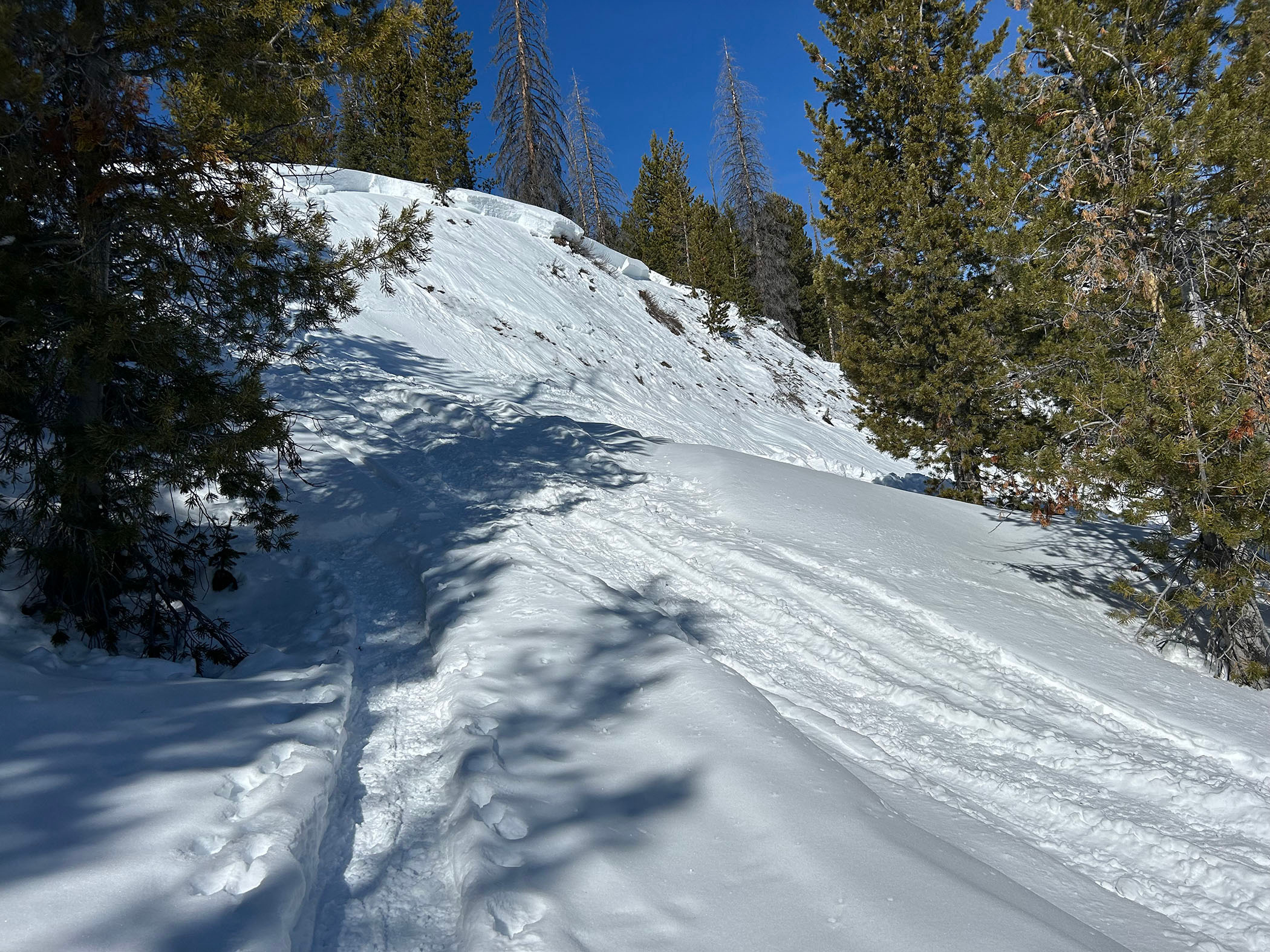
Quick report
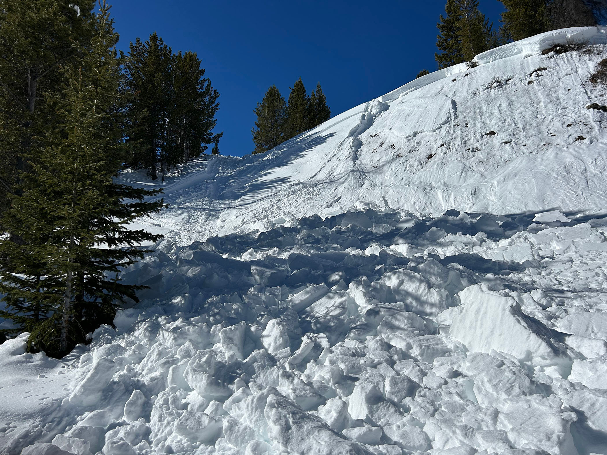
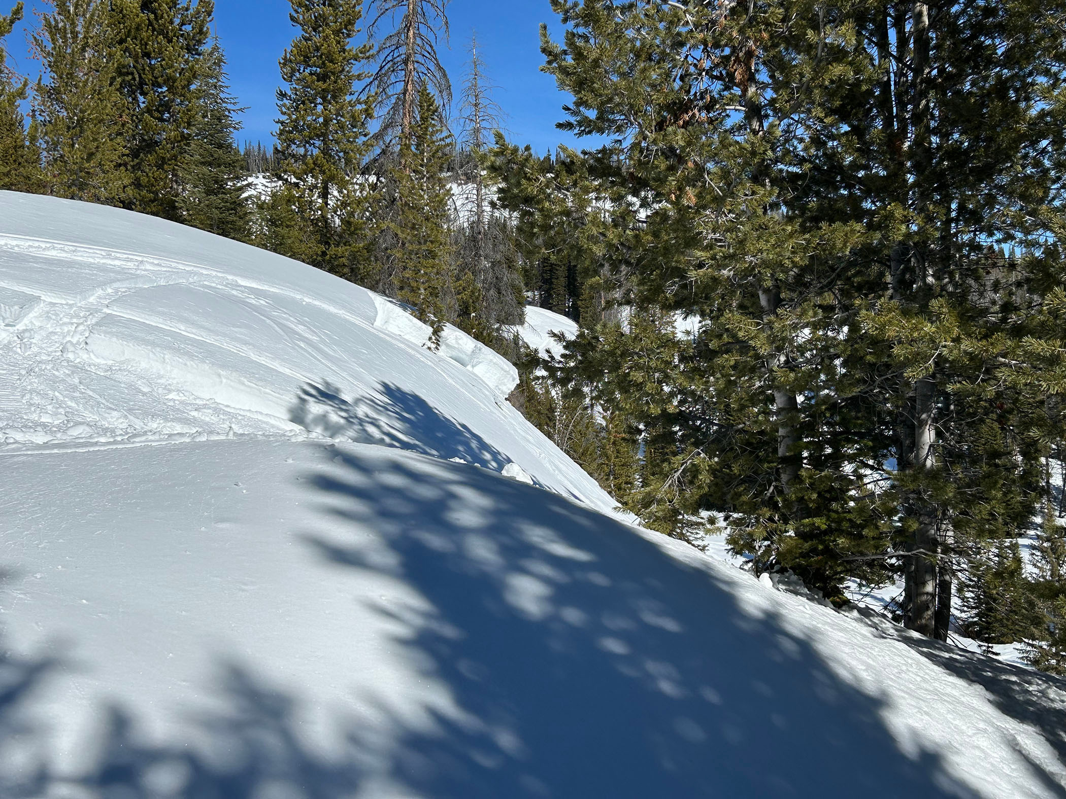
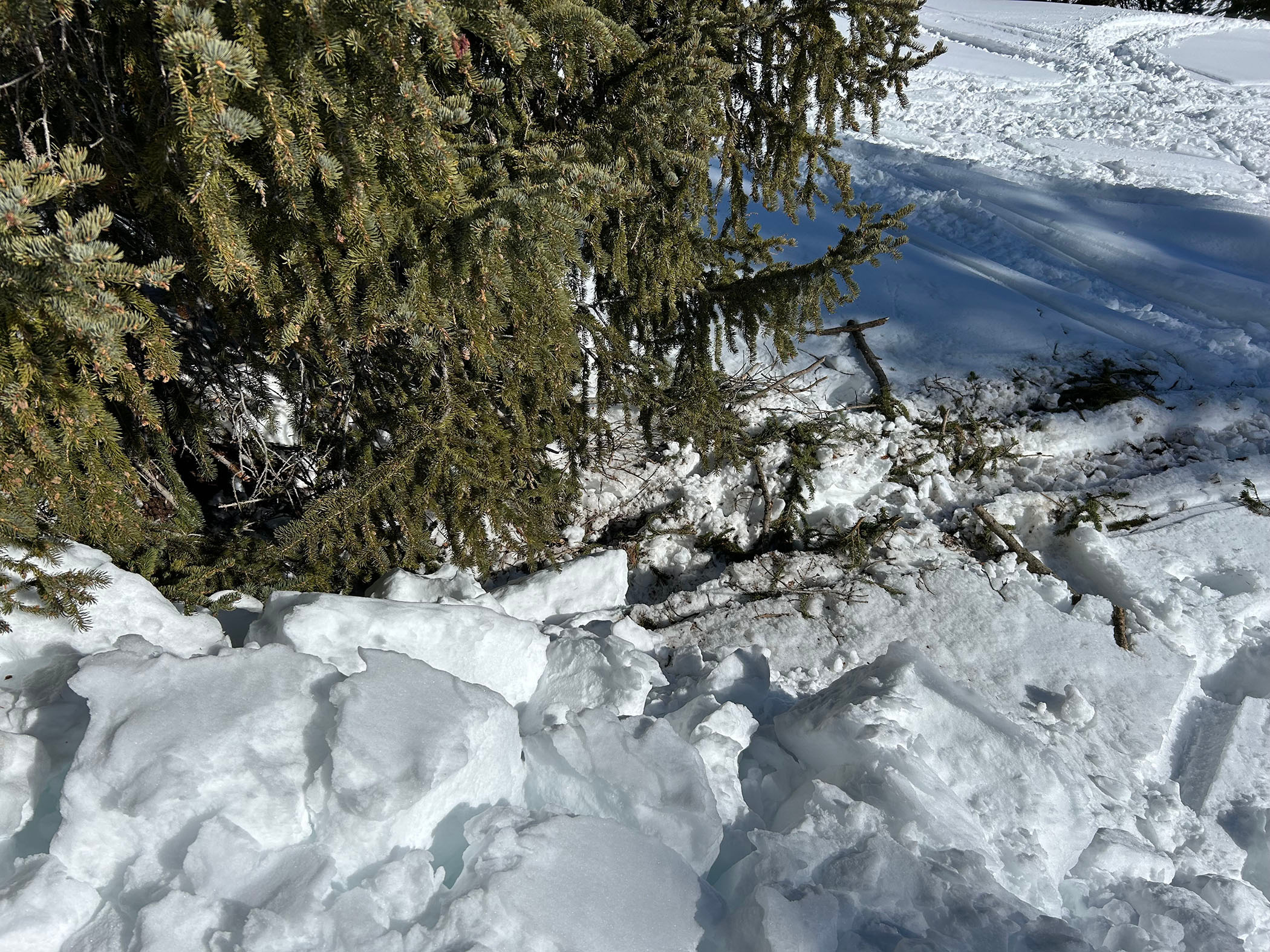
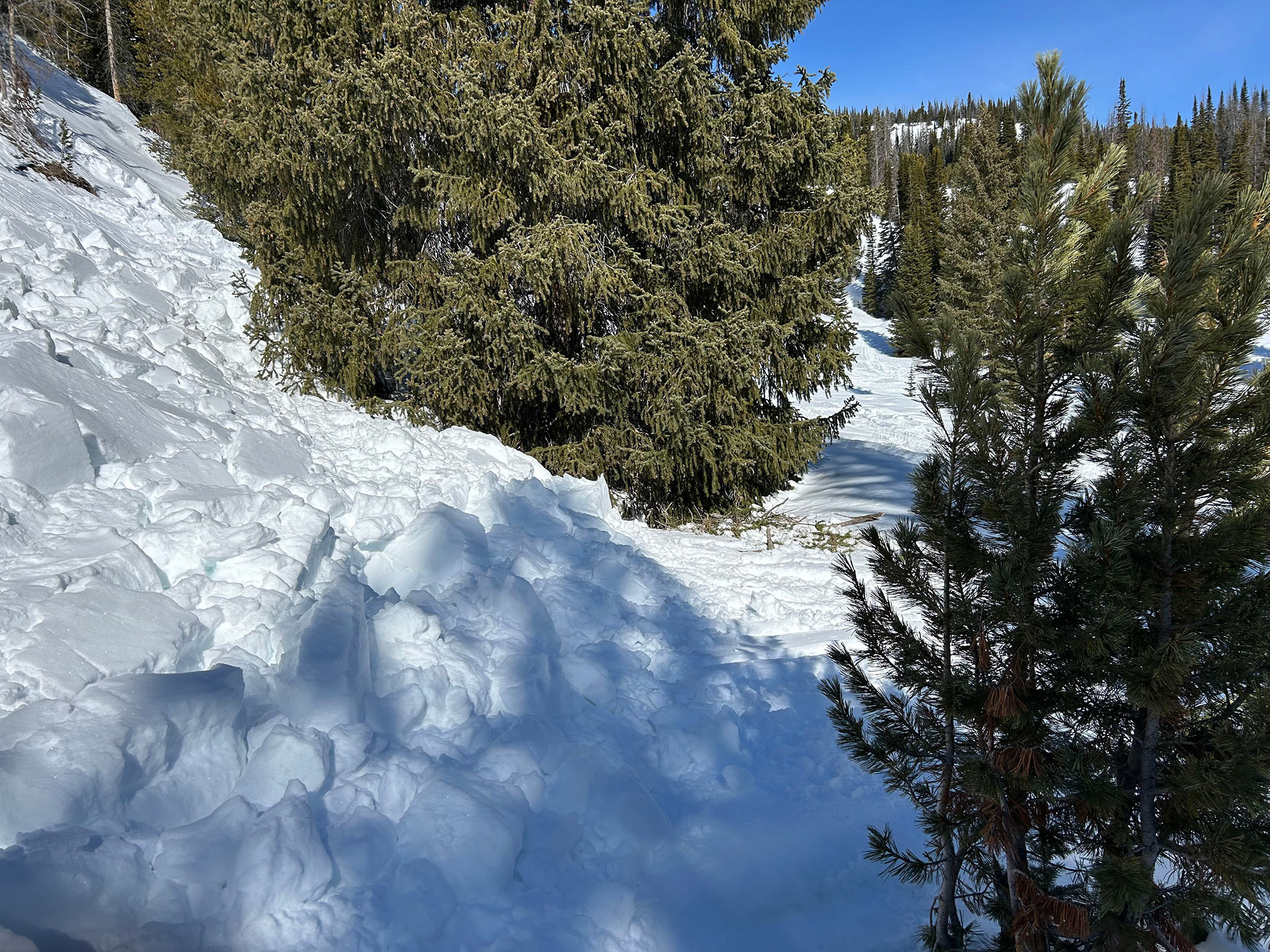
75 to 100 ft of open hillside had slid day before (Mar 16). Snowmobile triggered. Could see where avalanche field probably carried sled into lower trees, then broken branches where sled was extracted. (see photos). This little hill is a popular area where snowmobilers try high mark tricks. It has slid in the past due to rec activity. Location: 43deg 43' 46" N, 110 deg 0' 17" W (google earth)
Weather
- Air Temp
- 32 +/-
- Cloud Cover
- few
Avalanche
- Size
- D2 R2
- Type
- HS
- Aspect
- E
- Trigger
- AM
- Elevation
- 9000 ft