
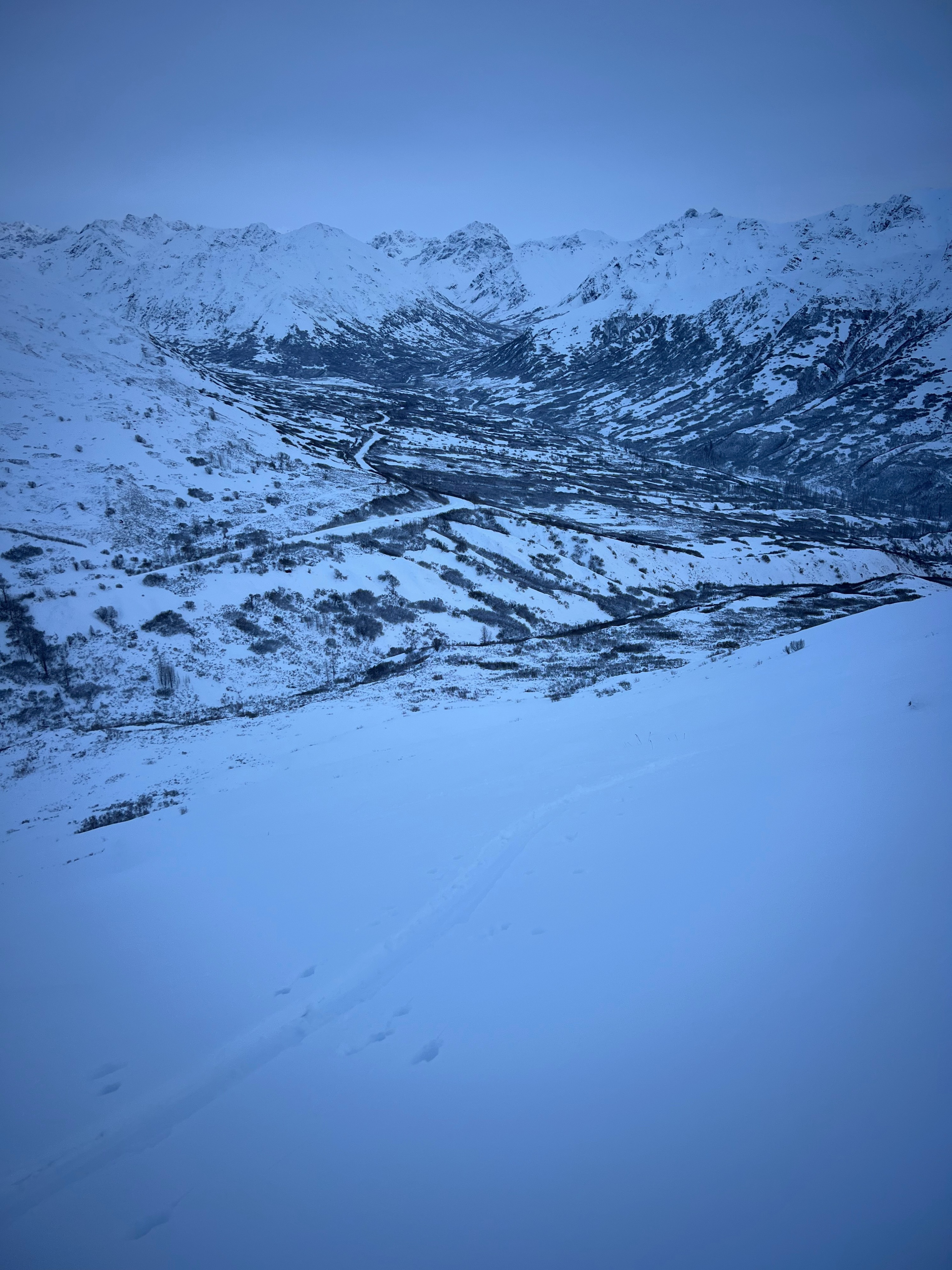
Quick report
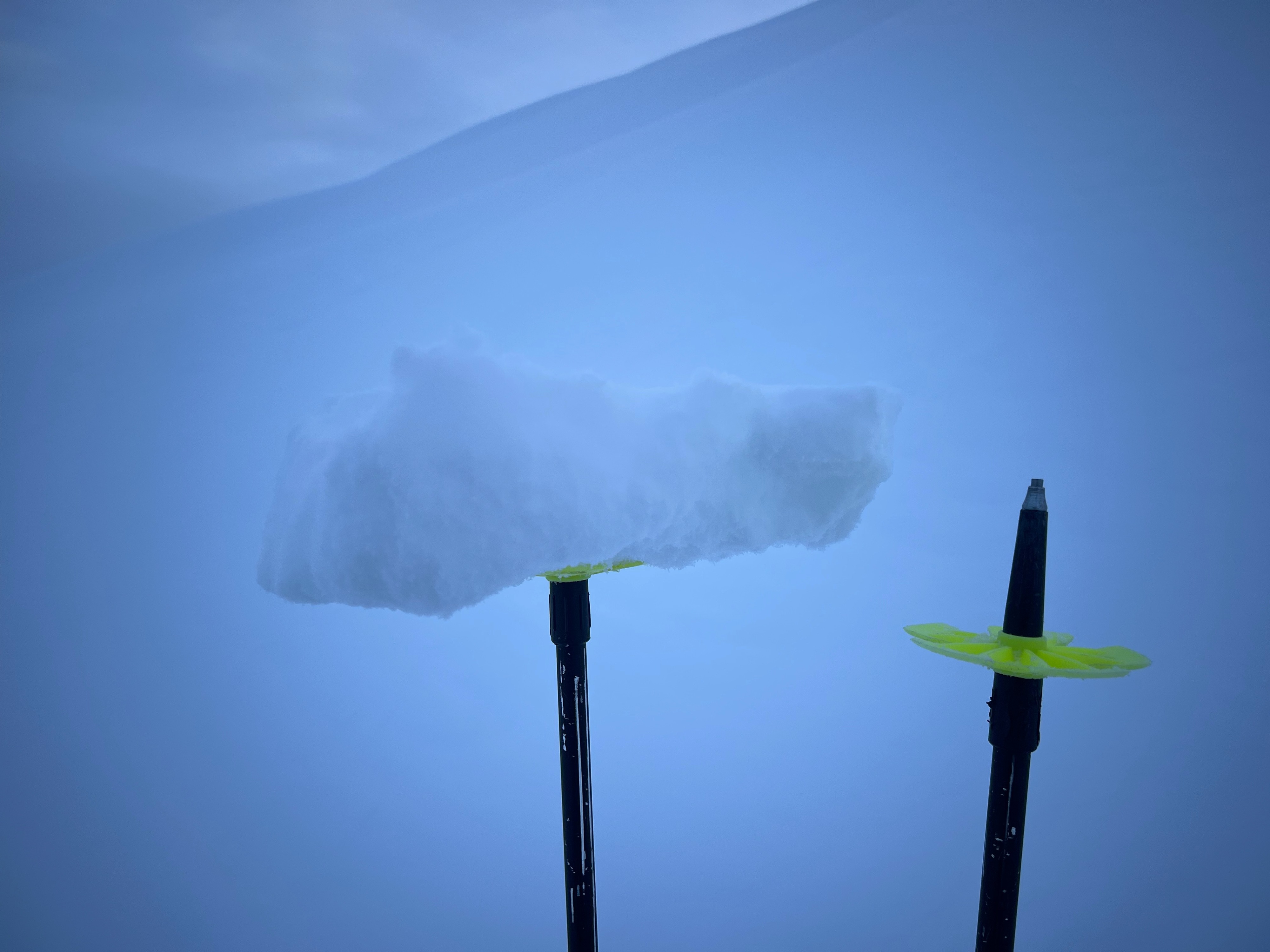
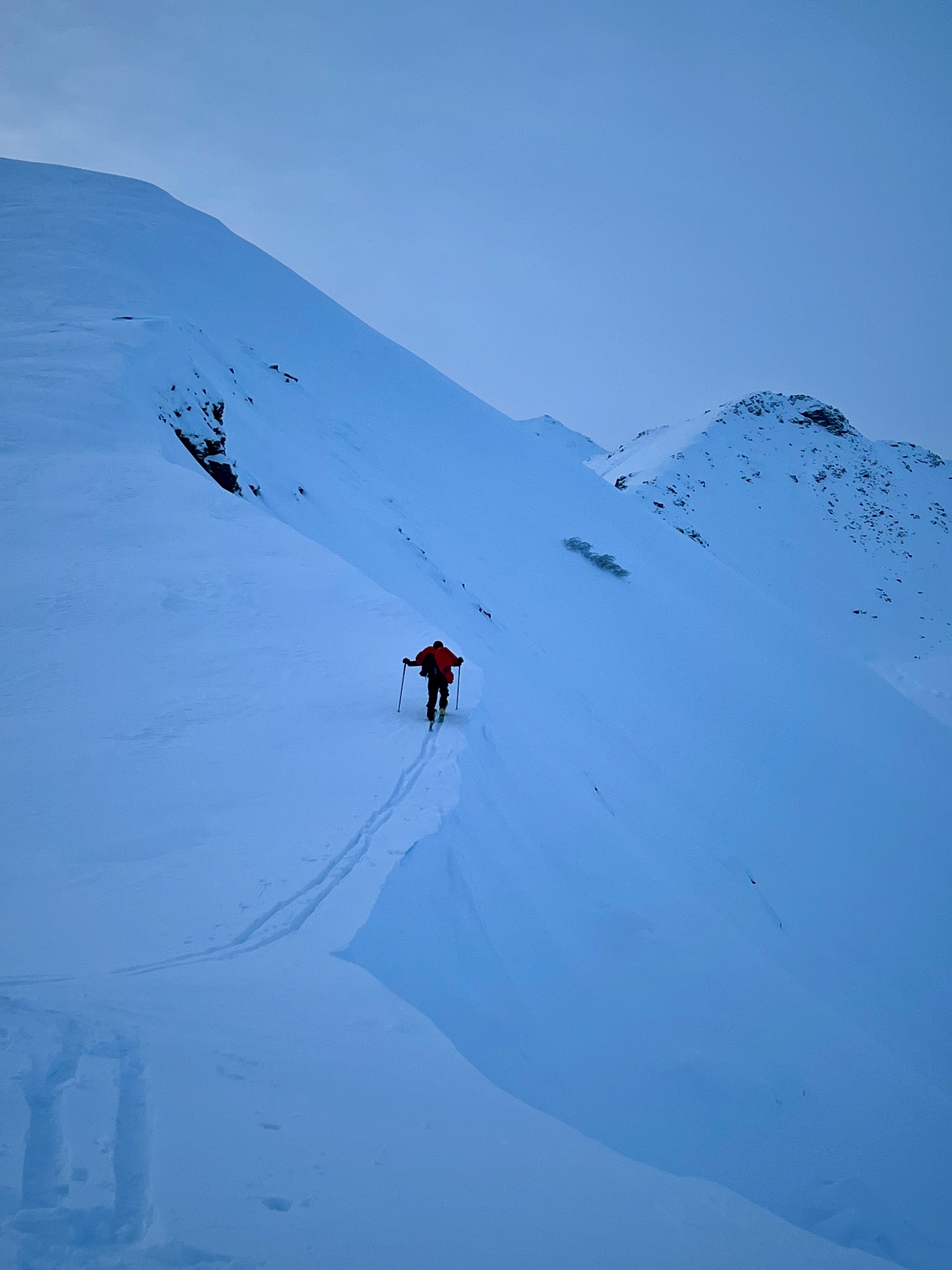
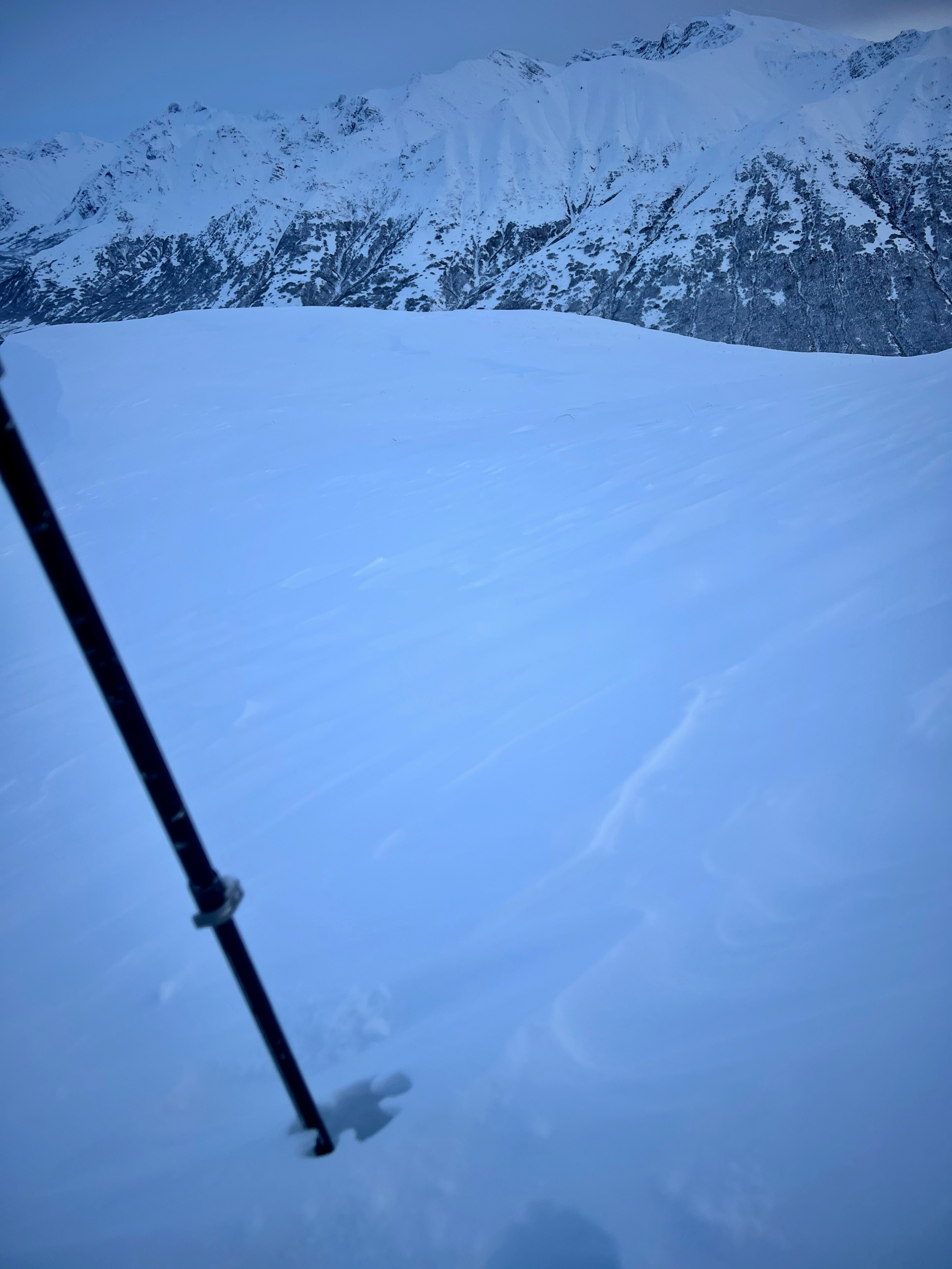
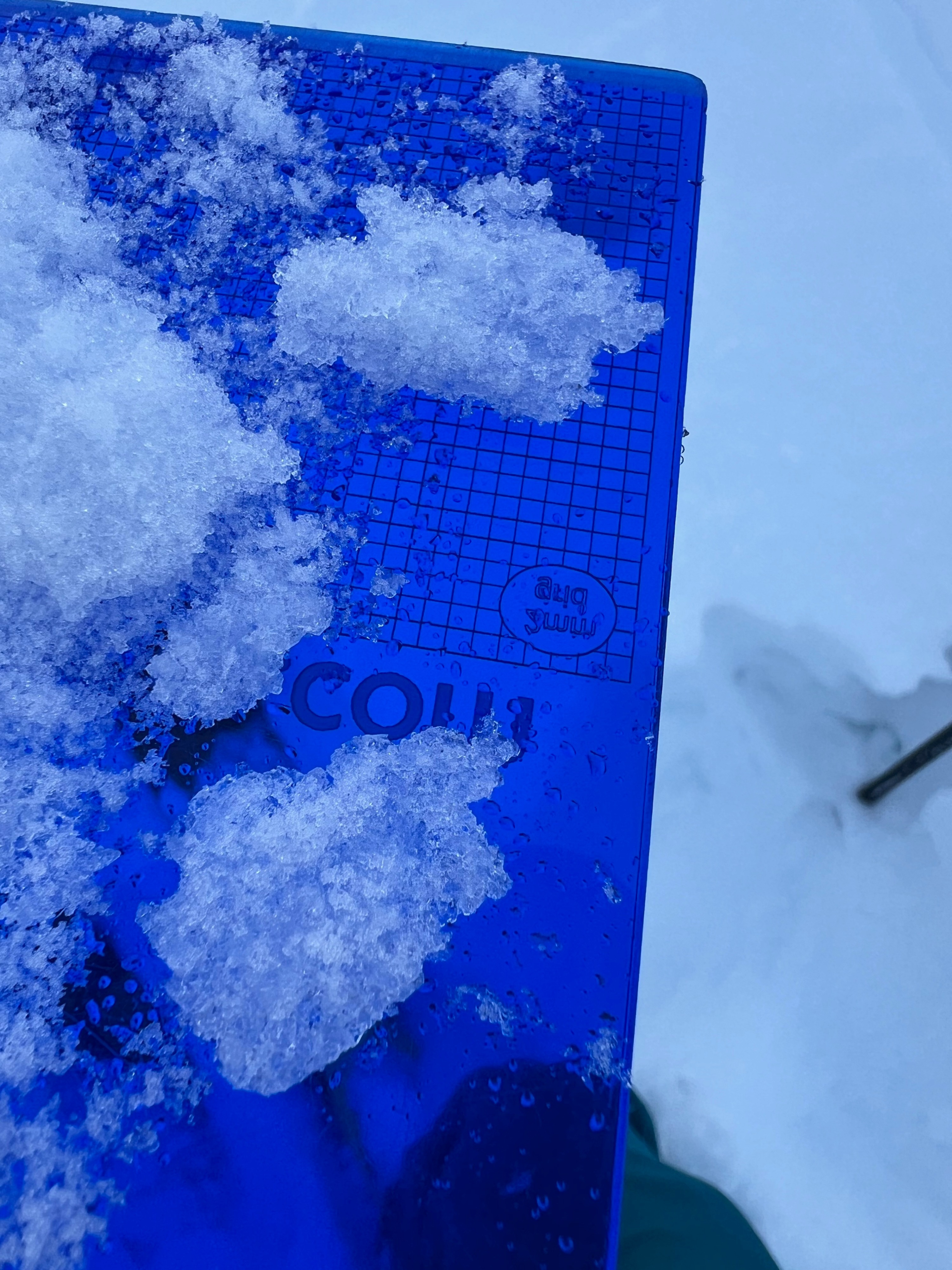
Despite mother natures best efforts we came out on top with this one. Yesterday's freezing rain/fog crust was buried by another 6 inches of snow and is unreactive in snow pits and ski slopes. For now. We found some exposed scoured crust at ridge line and some stiffer storm/wind slabs isolated to ridge line or just below. Today these were unreactive and overall we saw good bonding with the new snow even considering the added crust layer interface. Snow sliding was great albeit with some flat light, we weren't really feeling the crust unless on a upper elevation windward slopes where it had been exposed by some light winds that moved around the new snow. Overall a great and welcome refresh for the pass!
Weather
- Cloud Cover
- overcast
- Wind Loading
- light
- Rain Elevation
- Observed rain/fog crusts all the way to summit of 4068'
- Recent Snowfall
- 32
- Snow Avail For Transport
- moderate amounts
Overcast sky, temps in the teens to 20s. The light was flat with intermittent shadows and definition, which was noticeably better on solar aspects.
Snowpack
The snowpack demonstrated strength on our tour. We saw no avalanches and were unable to find signs of instability while stomping on test slopes, poking out on gently wind loaded terrain or within snow test pits. We did easily find the thin, loose and unsupportable melt freeze crusts throughout the tour. These were either due freezing fog or a brief rain event during an inversion in the 12/14-15 storm cycle. While they were more defined in isolated areas, they largely lacked uniformity and strength in the upper snowpack. While we found some more pronounced wind and melt freeze crusts at ridgetop, ski quality was fantastic on both shady and sunny aspects.
Avalanche
We did not see any human or natural avalanches from this last weekend's storm cycle.