
Quick report
I went to the Lakes Basin today to check in on the new snow from last night, warming, and pre-storm snow surfaces.
New Snow:
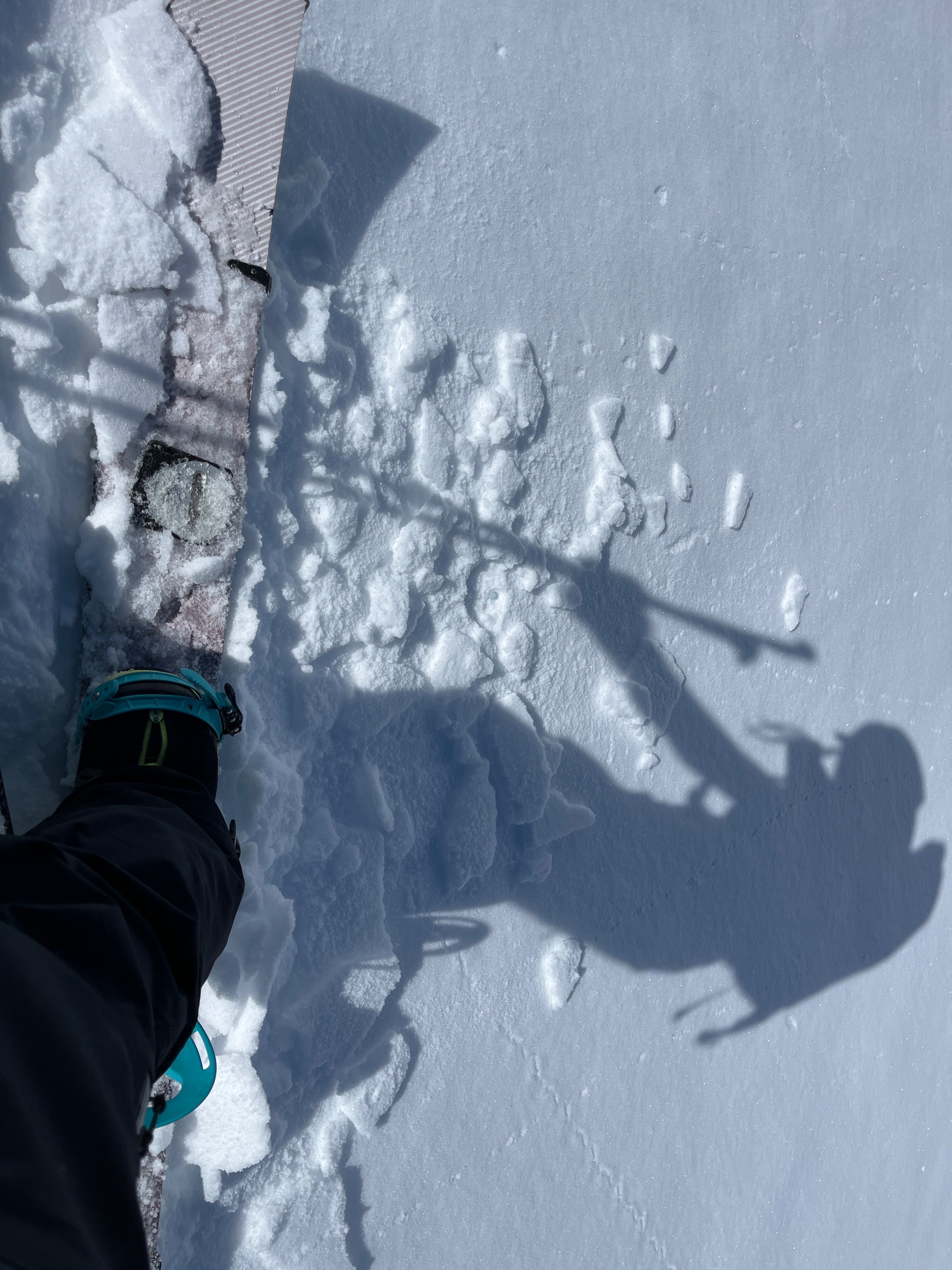
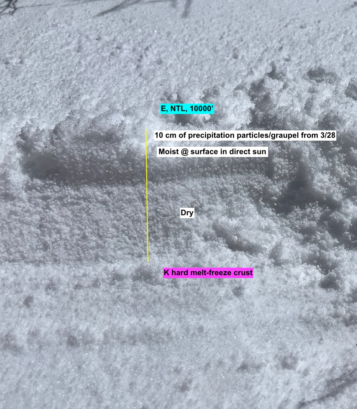
- Height of new snow up to 10 cm (wind drifted) on leeward slopes near and above treeline.
- New snow was made up of precipitation particles and graupel
- New snow sits on
- A. Melt-freeze crust (4 F - K hard)
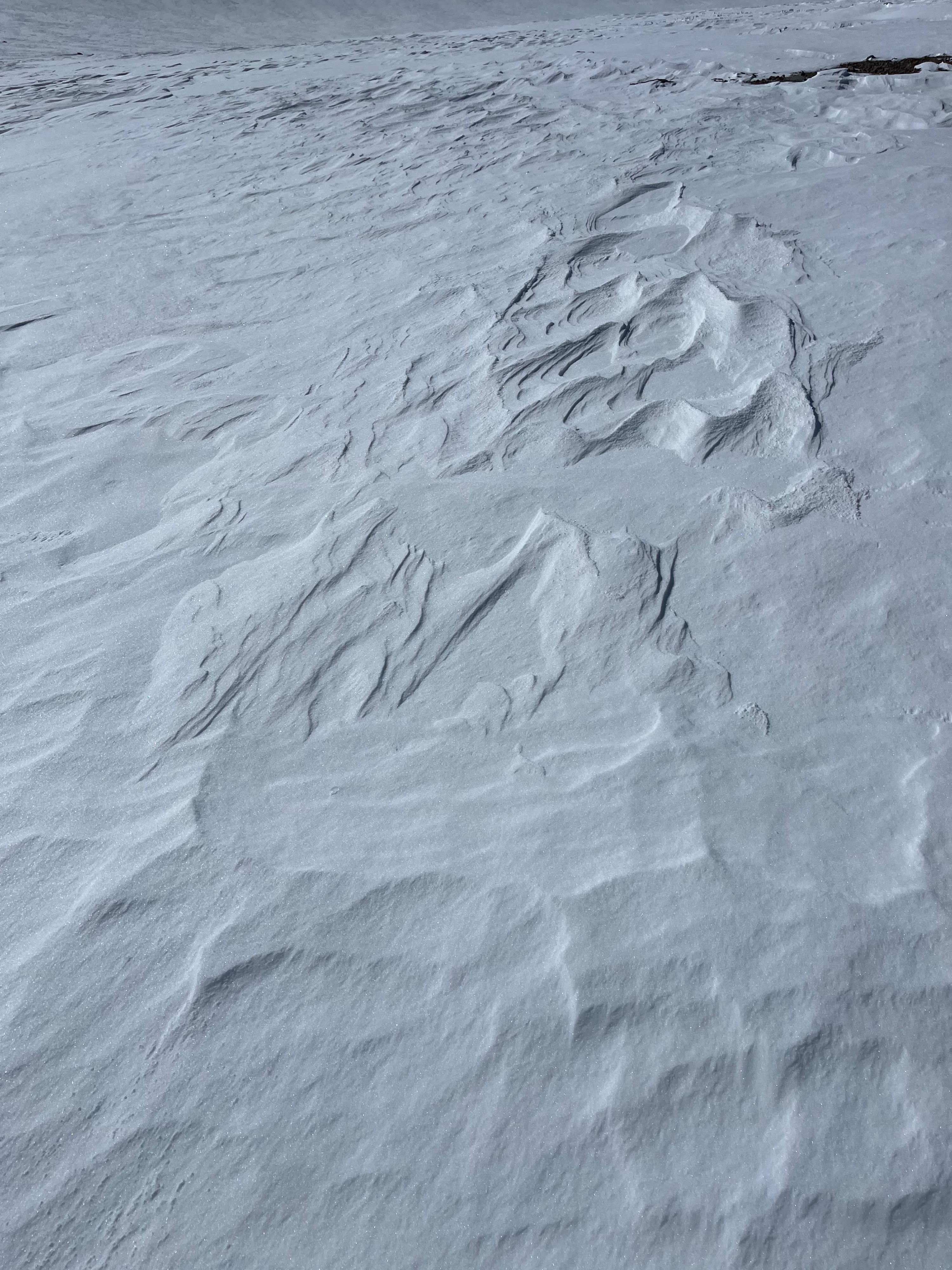
- B. Wind affected surface (1F to P hard), with .5 mm facets on top of the old surface.
Warming:
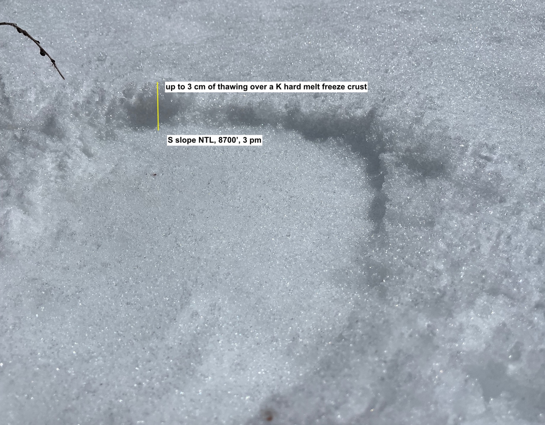
- Moderate to strong southwest winds helped to keep snow surfaces cold/frozen throughout today above ~ 9500', unless in direct sunlight. Below 9500', surfaces thawed up to 10 cm on all aspects.
- Small amounts of new snow below 9500' were transitioning or moist. Above 9500', new snow was dry unless in direct sun.
Pre-Storm surfaces
- Areas without new snow held melt - freeze crusts, or P hard wind board with .5 mm of near surface facets on top.
- Northerly slopes with crusts held facets and dry snow beneath. Southerly slopes held a thick, hard melt freeze crust that was impenetrable.
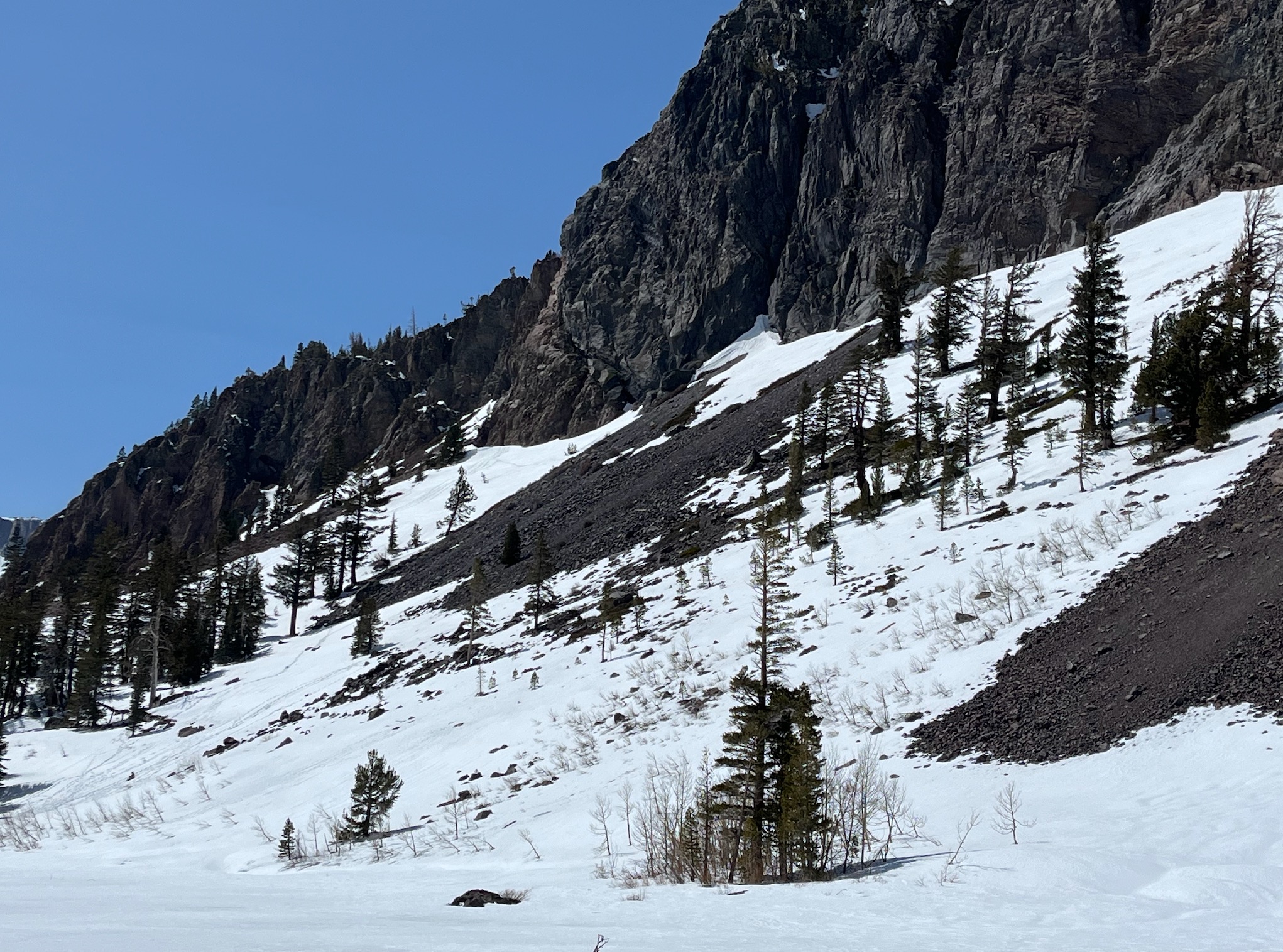
- Most south - west slopes have areas that are scoured or melted to bare ground
Weather
- Air Temp
- 40
- Cloud Cover
- clear
- Recent Snowfall
- up to 5 cm
Today held hazy skies, moderate temperatures, and light to strong winds from the Southwest, increasing with elevation.