
Quick report
We suspected it was a hot pow/mash potato snow kind-of-day, so we took sleds to the Swan, in search of dry snow.
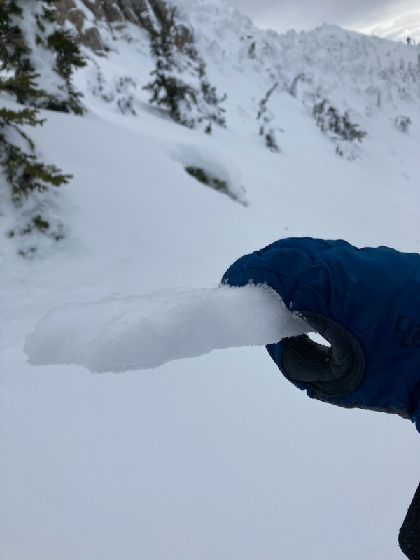
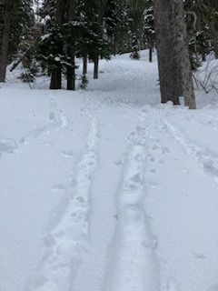
- We parked the sled at 4800 feet and started skinning on wet snow that quickly transitioned into a sun crust that varied in thickness from 2.5 inches at 5200 feet to 0.5 inches at 6500 feet.
- Overnight winds appeared to have redistributed the small amount of snow (snow available for transport) as a 0.5-inch to 1-inch soft snow layer over the sun crust.
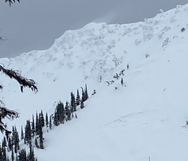
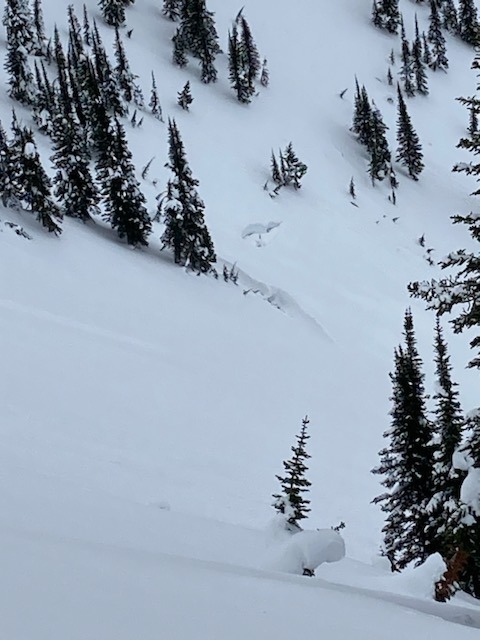
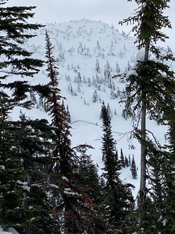
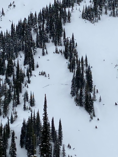
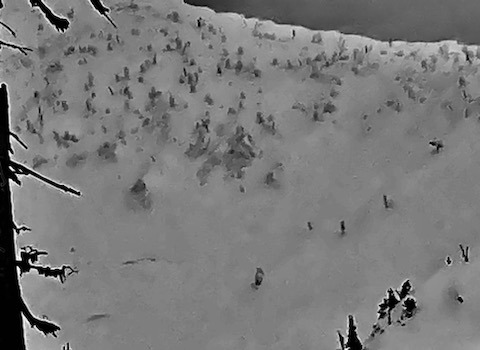
- Winds were surprisingly calm for most of the day. The good visibility allowed us to spot 7 different (old) glide cracks that had been partially filled in with the recent snow.
- We observed blowing snow along the ridgeline of upper elevations.
- We did not get propagating test results in our snowpits on a SE aspect and a W aspect at 6400 feet.
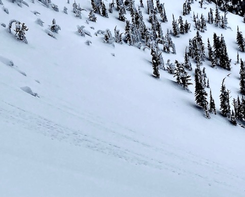
- Yesterday and today’s warm temperatures were evidenced by a variety of small loose wet debris piles, trees shedding snow, and many roller balls.
- We skied a westerly slope that held pockets of sheltered soft snow intermixed with a sun crust that turned to manky-mash-potato snow around 5600 feet.
Weather
- Air Temp
- 35-40
- Cloud Cover
- overcast
- Wind Loading
- light
- Recent Snowfall
- 0
- Snow Avail For Transport
- small smounts
winds were calm, except along the ridge. Mostly cloudy skies and warm temperatures.
Snowpack
Pit 1 @ 6400 feet. Southeast aspect. HS: 200cm. The only crust identified was 150cm below the surface. Rounding facets below that crust. Right-side up snow profile.
Pit 2 @6400 feet West aspect. HS: 320. ECTX. graupel layer down 70 cm from the surface, Ice layer down 80 cm from the surface. CT26 non-planar break.