
Quick report
- Aspect
- North
- Elevation
- 2530 m
- Red Flags Comment
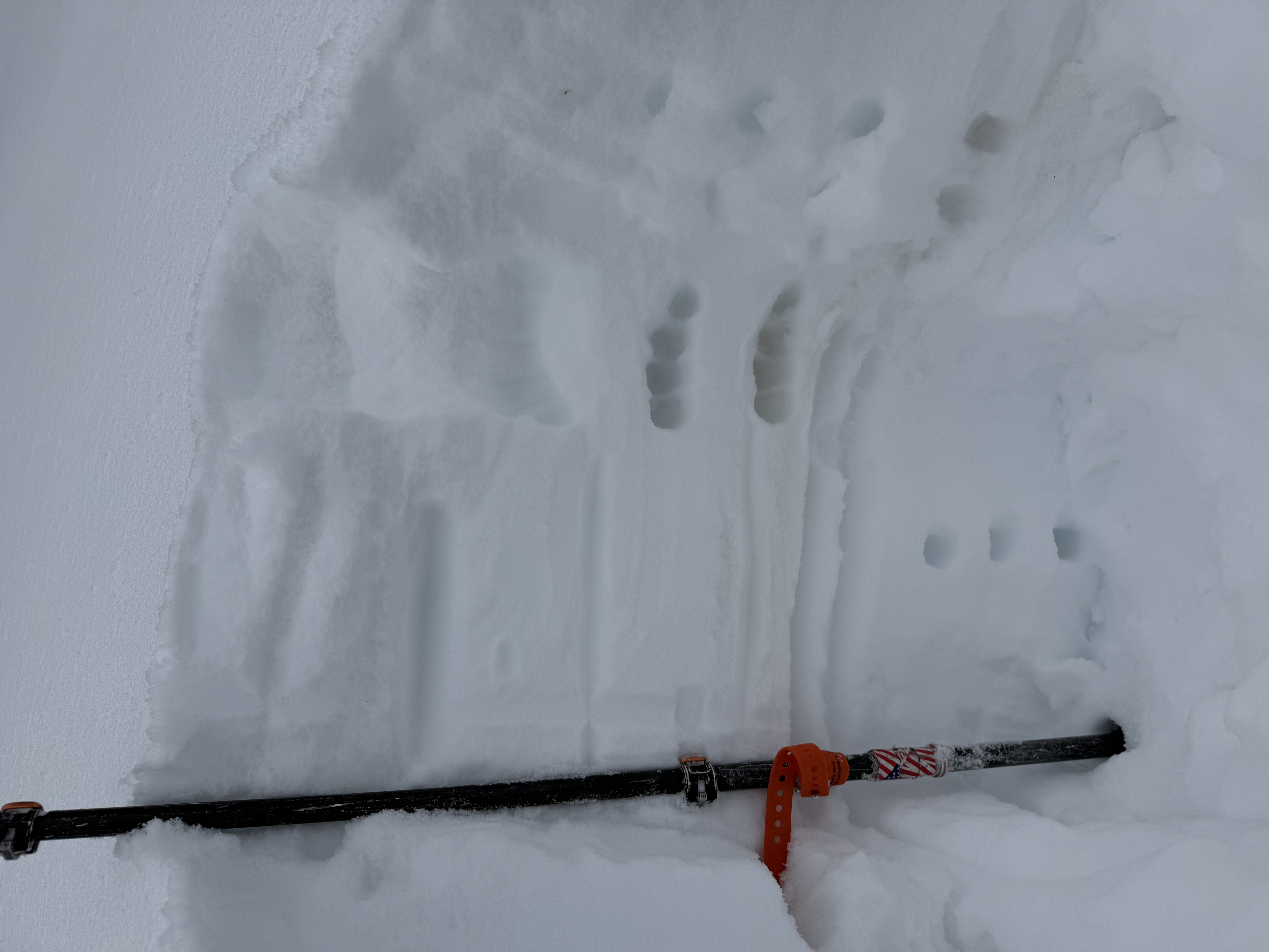
- <p>Other than some small grain facets forming below the crust this and the last storm fell on that had a Q2 RP hand shear (no other signs of instability on this layer throughout the day), no red flags were noted.</p> <p>The new snow and the snow from last storm sit right side up on top of a dust layer and a crust (with thin layer of small grain facets below) which lay on a 1F base (pictured)</p>
Photo 1: general zone/ cloud ceiling
Snowpack
the new snow was light and likely preceded by rain at lower elevation and was a mix of stellars and graupel at mid and upper elevations.
At lower elevations, 1-2" of low density new snow sat on top of a wet base of snow. New snow at these elevations was damp by mid day.
at elevations above about 7500', 2-4" of low density new snow with pockets of 4-6" of medium density wind blown, but non-consolidated, snow was sitting atop the old snow which was still dry on polar aspects.