
Quick report
Following an FAC morning meeting, we took a quick trip to the southern Whitefish Range.
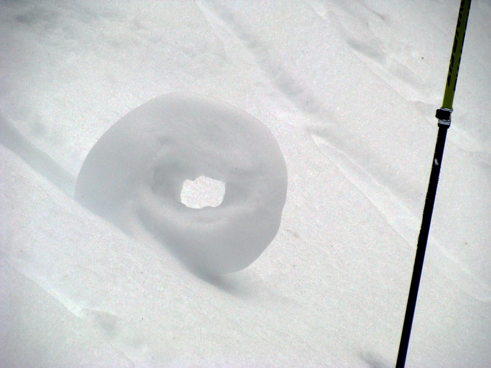
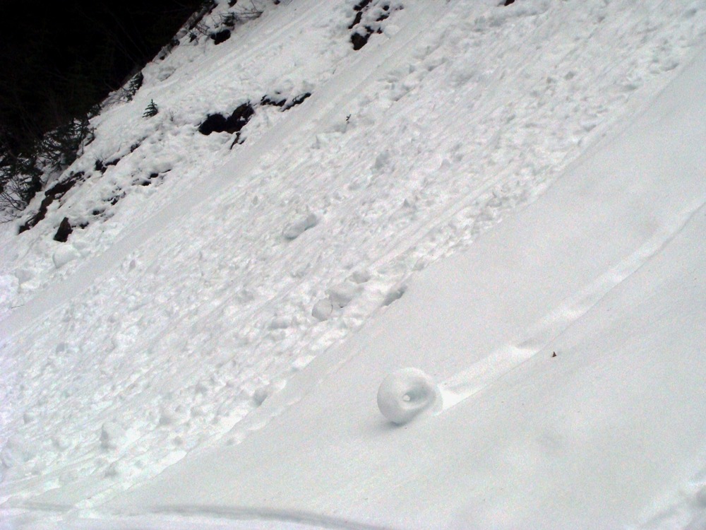
- The 12/20 rain and warm temperatures initiated a small mid-elevation wet loose avalanche cycle. We noted just two wet loose slides but a fair amount of rollerballs. Interestingly, most rollerballs started from tree bombs. Steep slopes without trees or exposed brush were generally clean, with no evidence of rollerball activity.
- We jumped on steep (45-degree) mid-elevation slopes but had no luck triggering rollerballs or wet loose slides.
- The surface snow was developing a crust above 6000 feet this afternoon due to cool temperatures.
Weather
- Air Temp
- Below freezing
- Cloud Cover
- overcast
- Wind Loading
- none
- Rain Elevation
- 4000
- Recent Snowfall
- 0
- Snow Avail For Transport
- none
Thick valley floor clouds and fog with a continuous cloud deck around 7000 feet. Generally dry with no wind.
Snowpack
- The snowpack continues to melt, especially below 5500 feet.
- We found an 11 cm thick, pencil-hard crust in the mid-pack of our snowpit at 5950 feet. This confirms that the 12/5-6 Atmospheric River soaked this location and formed the 12/7 crust.
- We had no propagation in our large column tests.
Avalanche
- Size
- D1.5 R1
- Type
- WL
- Count
- 2
- Aspect
- SW
- Trigger
- N
- Elevation
- 6250 ft
A small wet loose cycle occurred on Wednesday, December 20, due to rain and warm temperatures.