
Quick report
We traveled up to 7700 ft in this area gaining insights on recent winds and new snow sensitivities and how these upper snowpack layers may evolve moving forward. The last 7 days storm snow (now settling into 2-3 feet at higher elevations) and wind drifts are strengthening; shown through combined field observations, and compiled snowpack tests. Subtle or more obvious upper snowpack layers exist within storm snow interfaces, currently mostly stubborn today, yet forecasted winds and new snow will create changing conditions.
Small Loose Wet avalanches triggered by today's sun warming the surface. None entrained a lot of snow and were confined to steeper slope below ridges and rocky areas.Weather
- Cloud Cover
- broken
- Wind Loading
- light
- Snow Avail For Transport
- small smounts
Sunny day with partly cloudy skies turning to overcast in the afternoon. Light southerly winds at ridgetop.
Snowpack
A thin sun crust was found on southerly slopes but sun warming today softened surfaces. Skies clouded over and cooled down in the afternoon as forecasted. We saw isolated areas of small (~<6mm) Surface Hoar (SH) on the surface. Today's sun intensity until mid-day possibly destroyed the SH on southerly slopes.
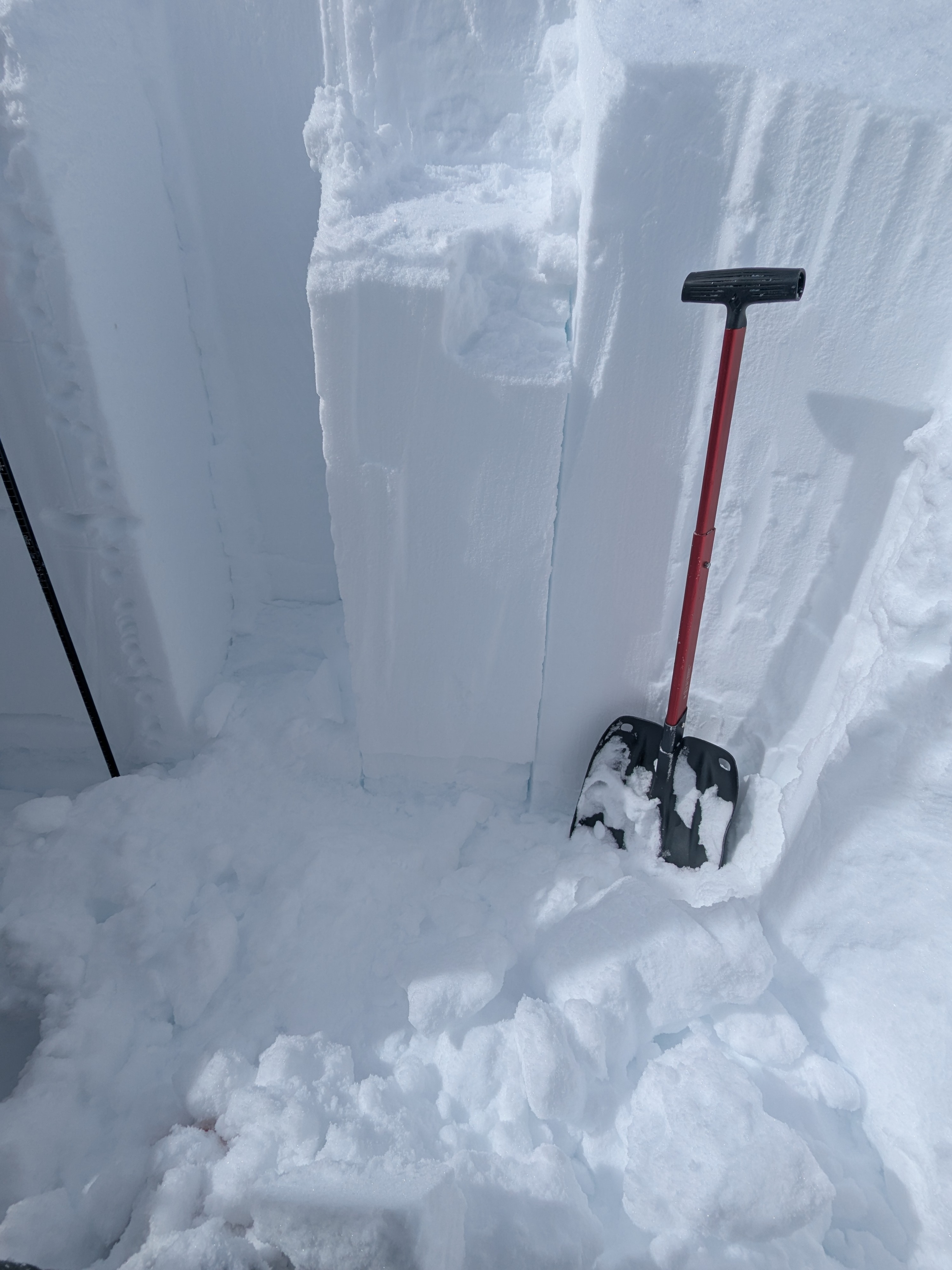
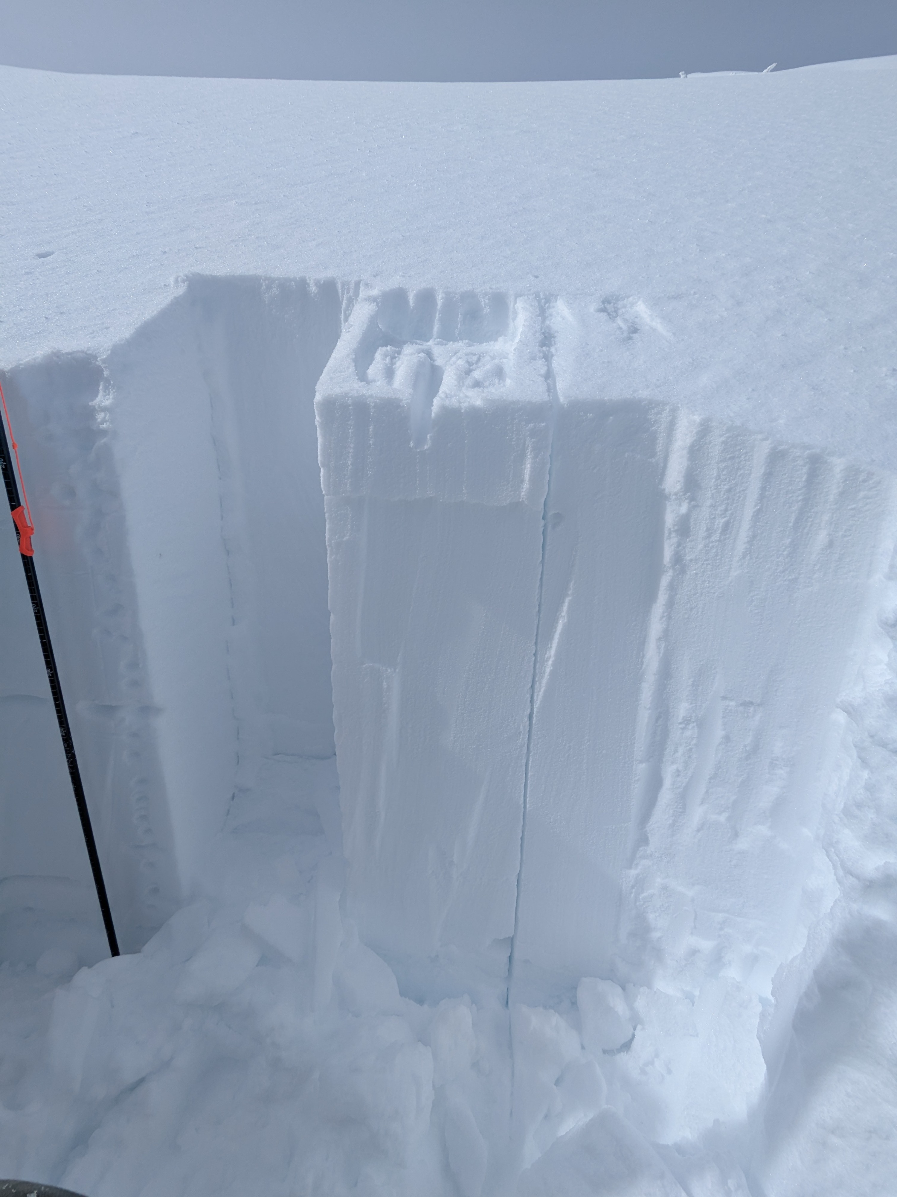
Surfaces were varied by recent winds on the highest Easterly aspect we observed. At 7400 East, the snowpack height was 330cm (~10 ft). Two layers of slight hard over soft differences in the top 80cm. On the surface, 10cm of soft new snow from Monday night - 2x CT11 RP 10cm down. Down 50cm a subtle hardness difference but no notable test results. 1F hard snow down to 80cm where a 5cm thick layer of 1F- hard decomposing fragmented angular grains sit atop the 3/9 crust (5cm thick, K hard). On this interface 80cm down, or 5cm above 3/9 crust, we observed two hard force CT sudden planar (SP) results.
Avalanche
- Size
- D1
- Type
- WL
- Count
- 3
- Aspect
- E
- Trigger
- N
- Elevation
- 6800 ft
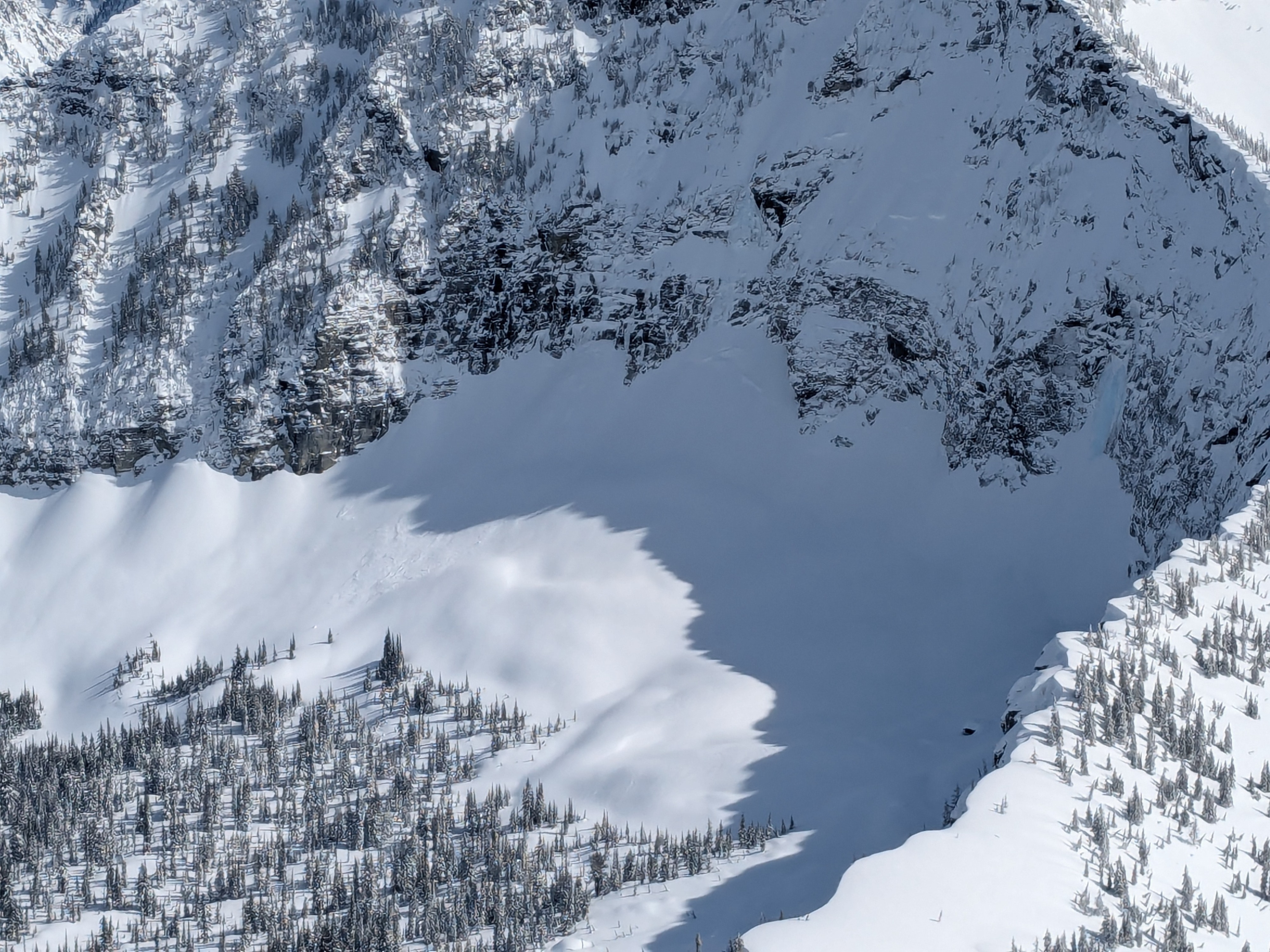
Crown line follows bottom of cliff band. Estimated to have occurred a few days ago over the weekend. Debris partly covered by new snowfall.