
Quick report
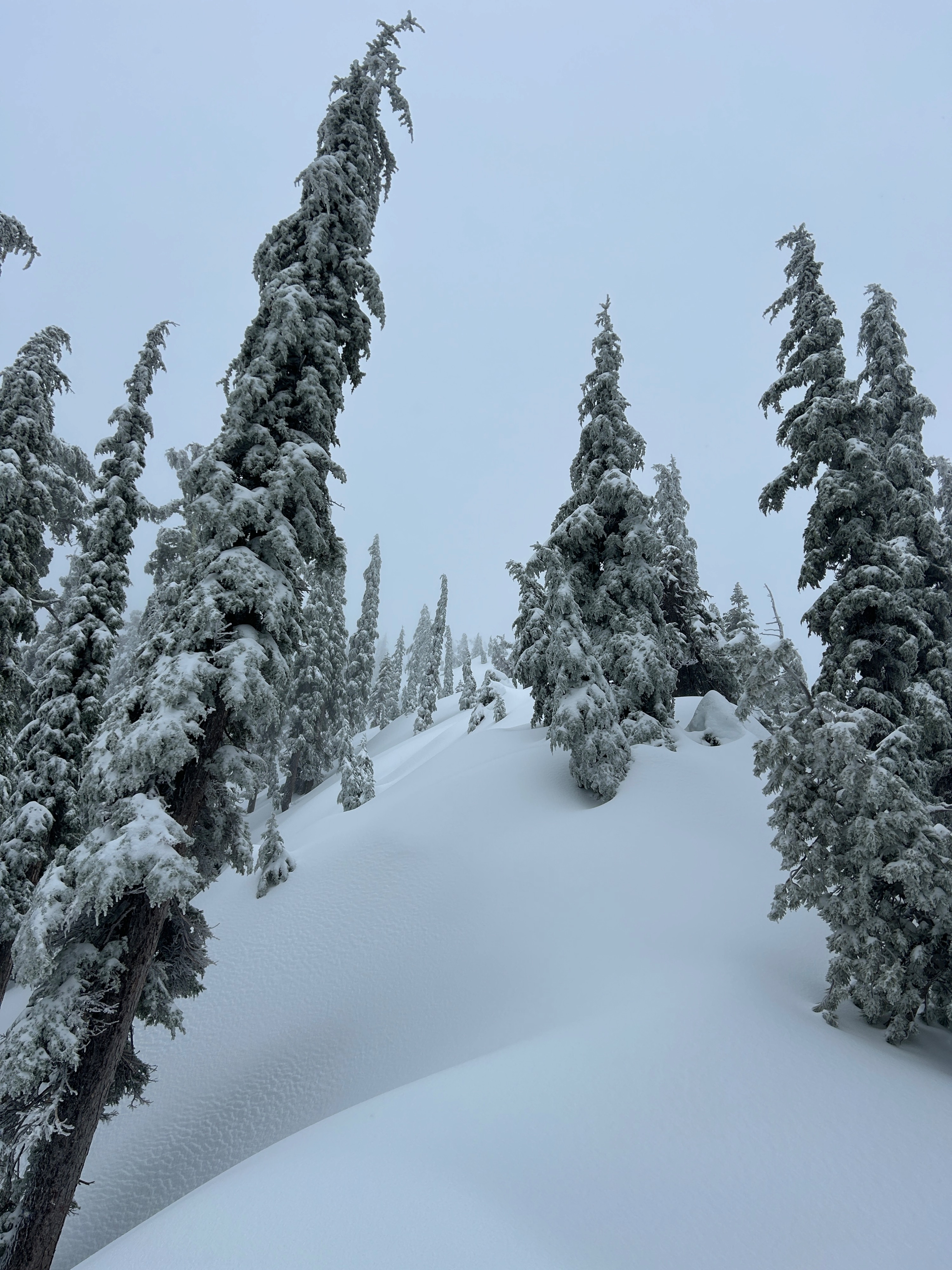
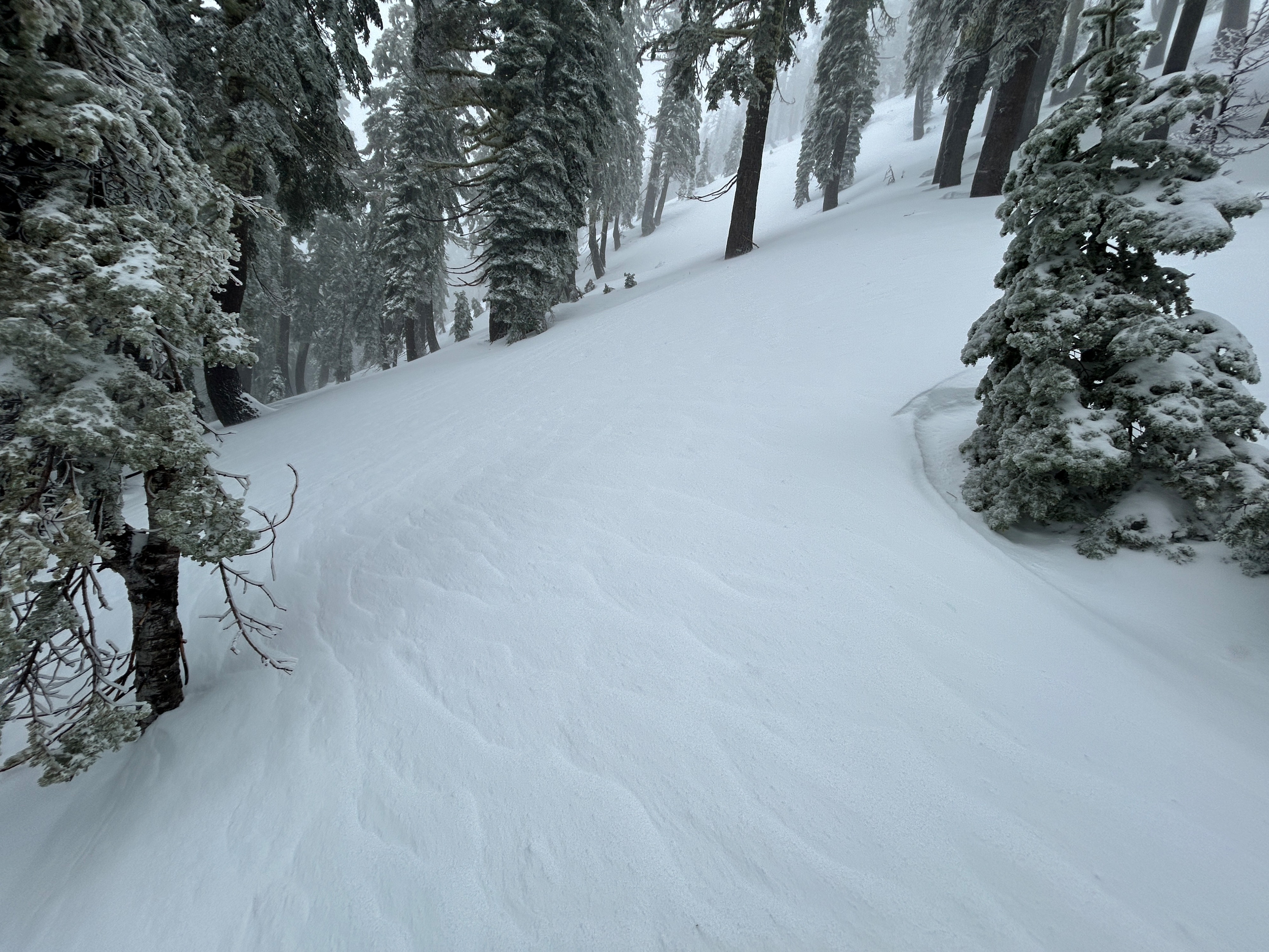
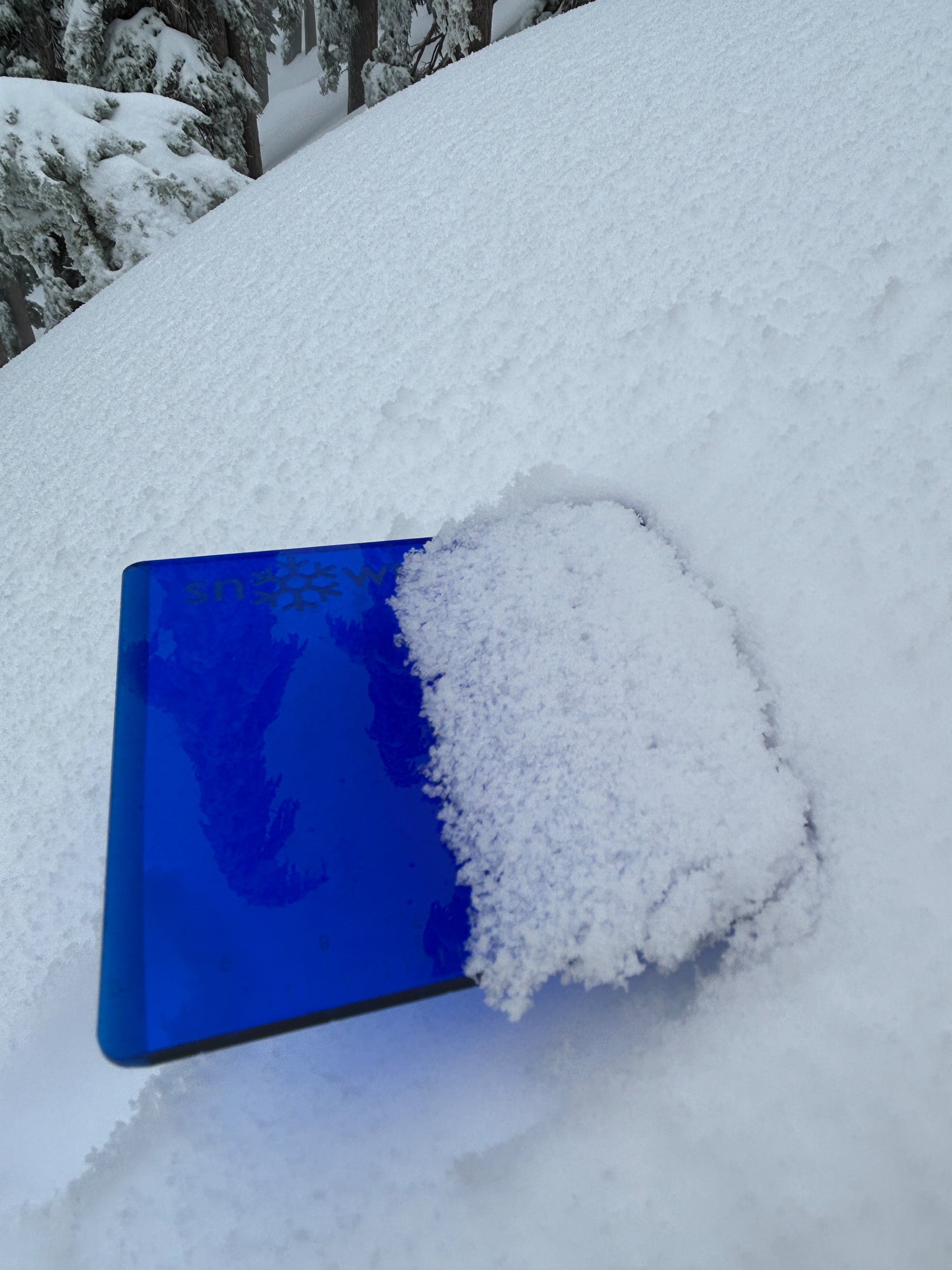
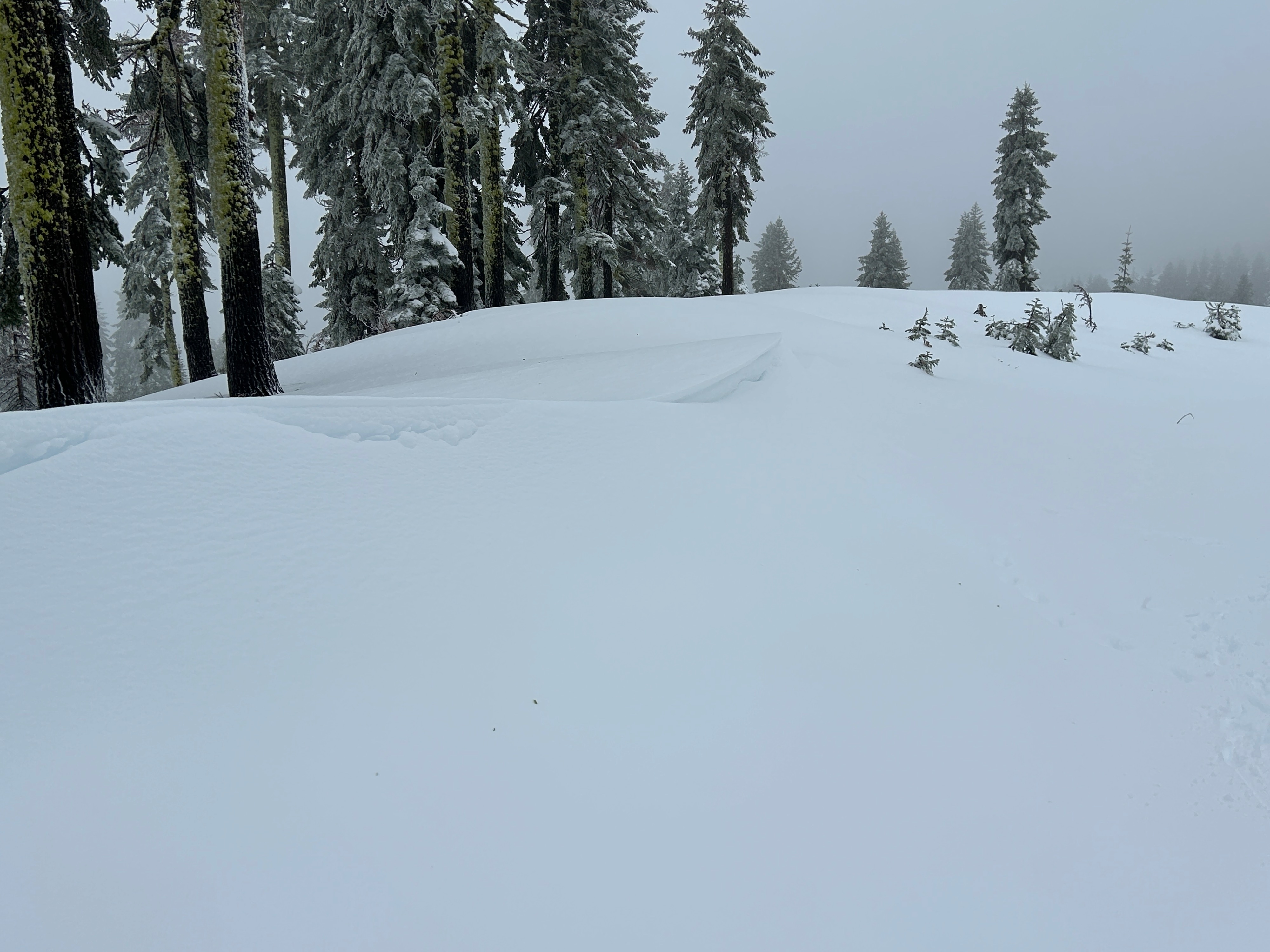
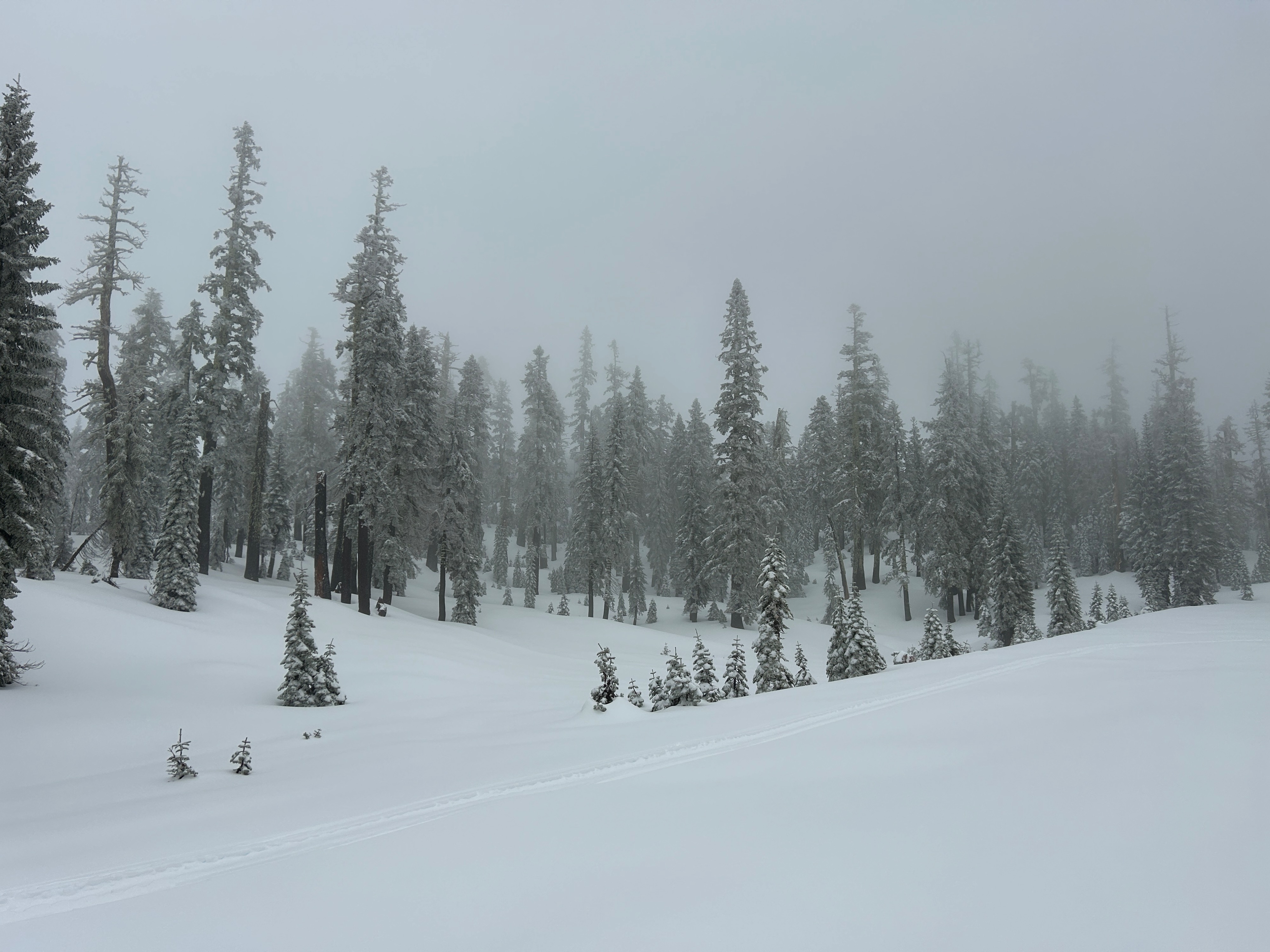
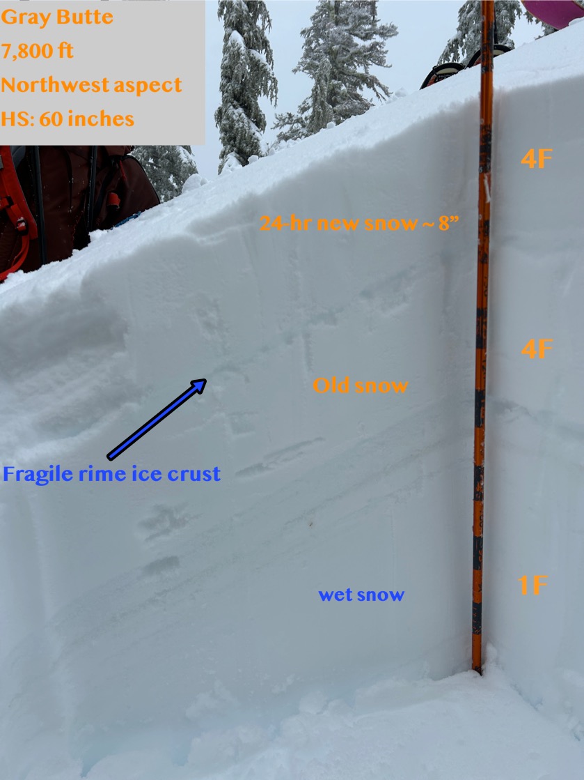
Winter has returned. A lull in the storm this morning allowed for an inventory of conditions near and below treeline. In general, 6-8 inches of soft, new, supportable snow exists in sheltered locations and has yet to develop cohesive slab properties. In wind loaded areas, deeper amounts are likely, though these areas were not observed. No cracking could be initiated on small test slopes. More exposed terrain held textured surfaces and light snow transport was observed. As we exited the field around 2 pm, snowfall drastically increased and winds picked up. A foreboding feeling filled the air.
Near treeline the new snow sits atop a thin and fragile rime ice crust that formed yesterday. On leeward west, north, and east aspects, the crust is thinnest and sits above softer snow from the New Year's storm. The opposite is true for windward (southerly) aspects, where the crust is more robust and sits above primarily damp snow.
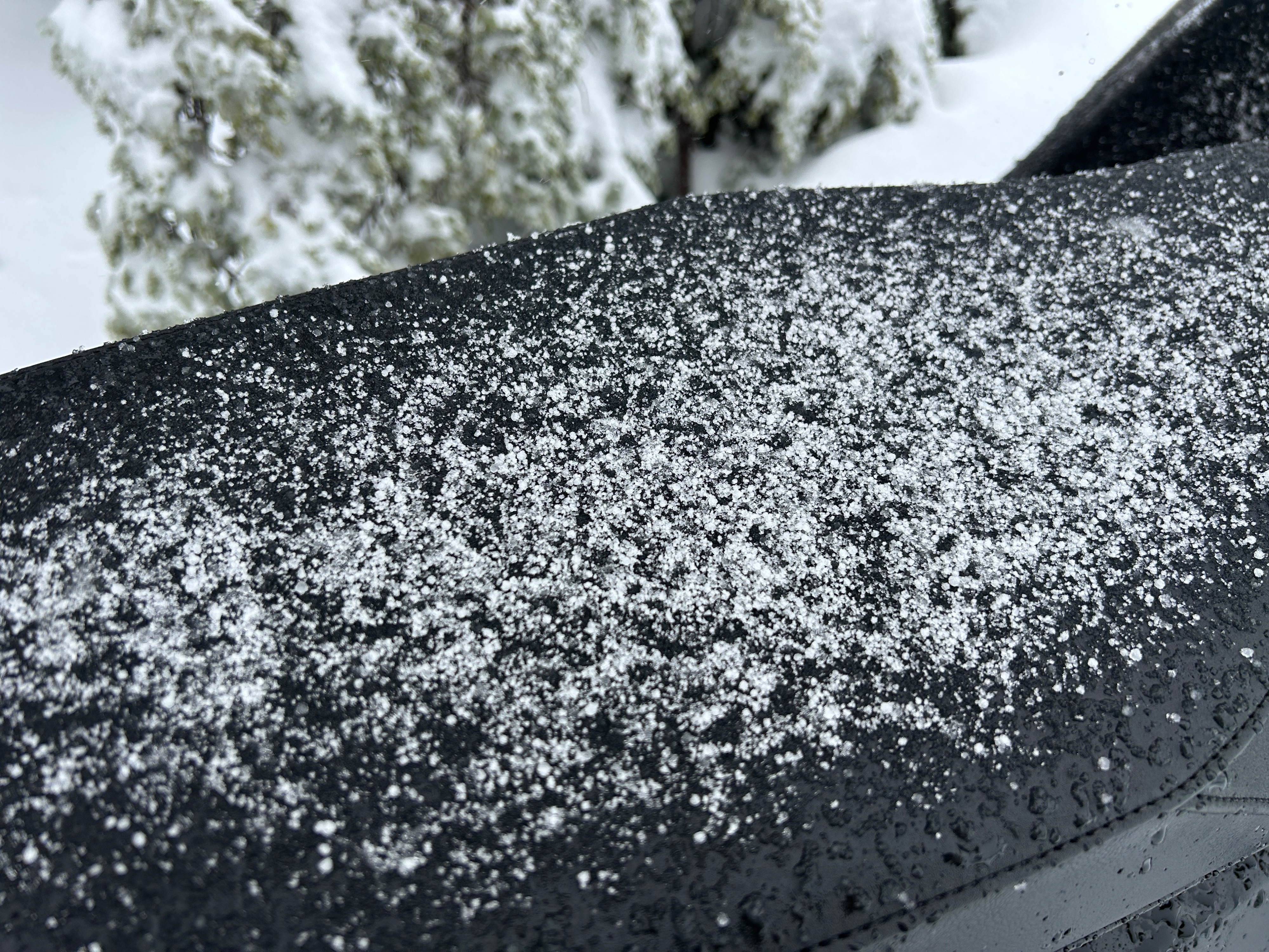
Snow surfaces were largely comprised of rimed precipitation particles and graupel. This “lull” in the weather and receiving surface of rimed precipitation particles may create a reactive interface within the snowpack in the days to come.
Light wind loading onto northerly aspects.Weather
- Air Temp
- 28
- Cloud Cover
- overcast
- Wind Loading
- light
- Rain Elevation
- 5,000
- Recent Snowfall
- 15
- Snow Avail For Transport
- large amounts
Temperatures sat in the high 20s, winds blew primarily from the southeast at light to moderate speeds, and visibility remained poor. Snowfall fell at a rate of S2 beginning around 2 pm.