
Quick report
- Cracking
- isolated
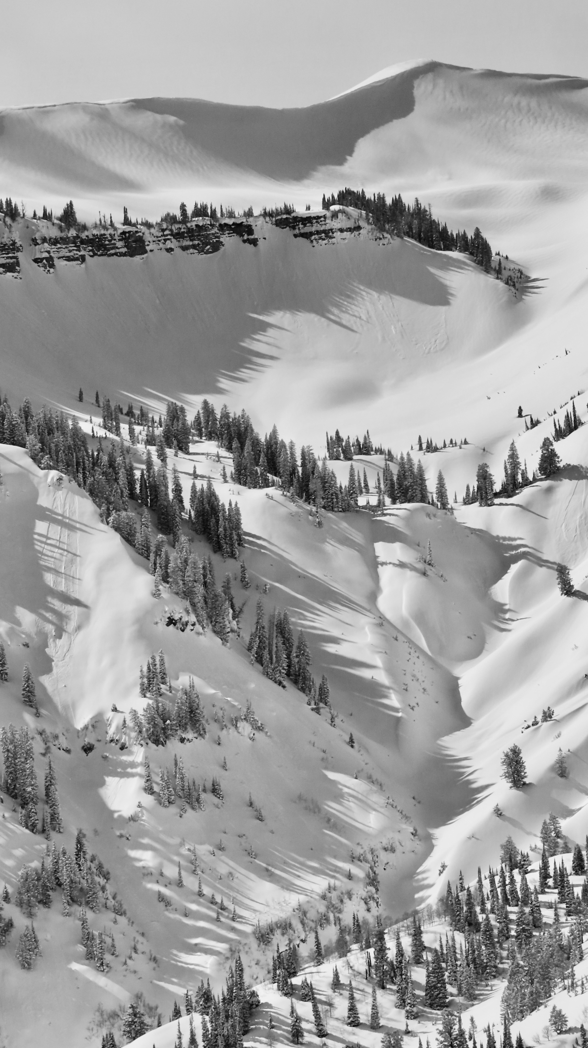
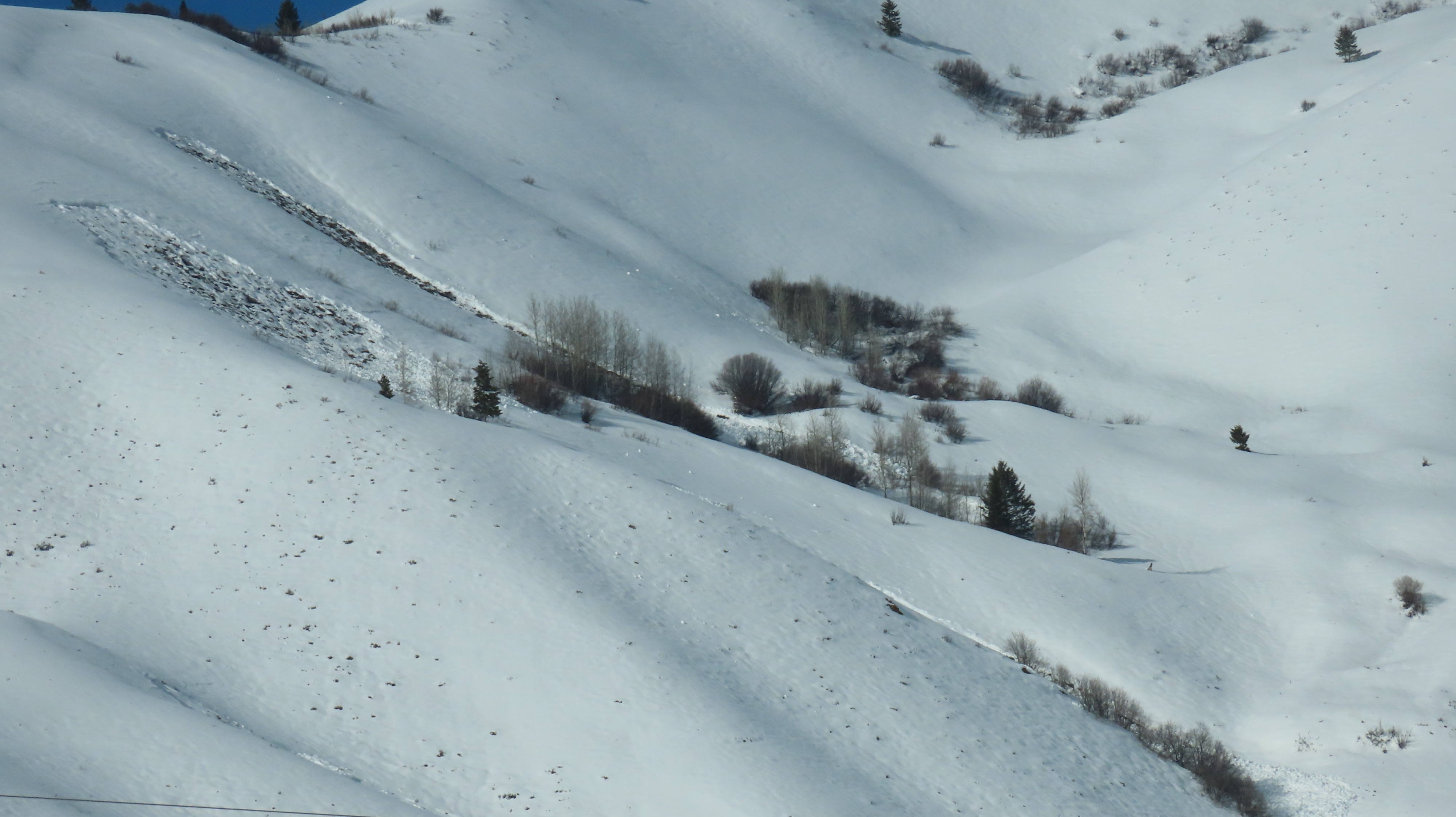
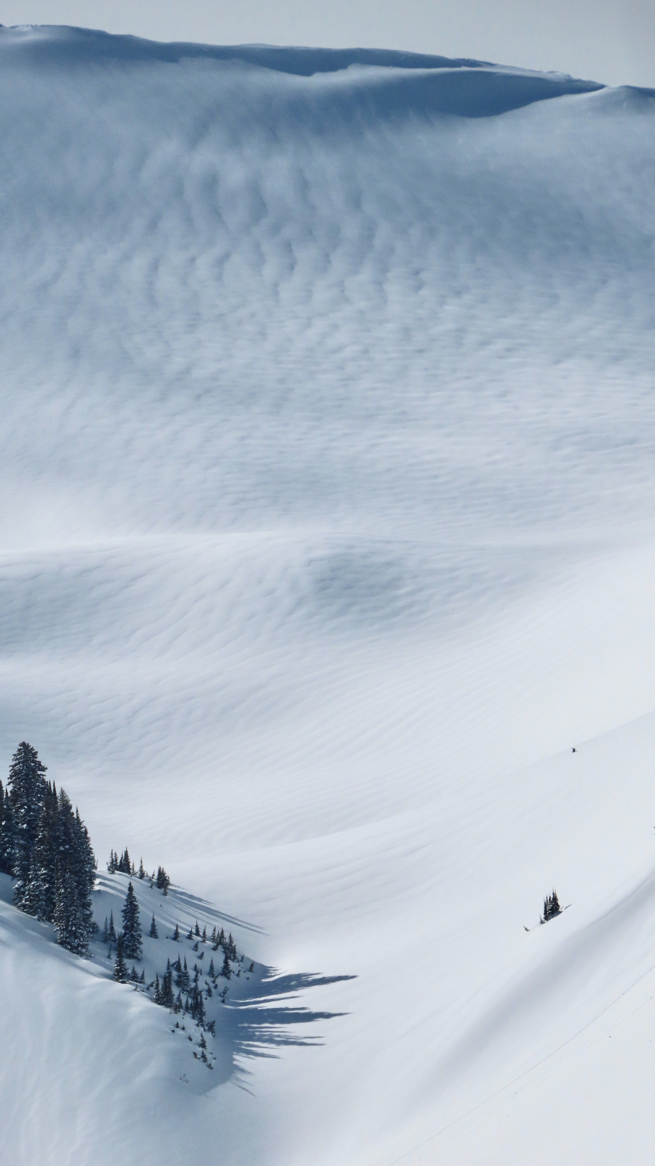
10" of new snow naturally avalanched (solar-induced dry-loose and ranging wet-loose at the lower elevations) on E-S-W aspects.
Weather
- Cloud Cover
- scattered
- Wind Loading
- previous
Clearing hit earlier than I expected and was more intense; solar-cooked aspects on the southern half of the compass
Snowpack
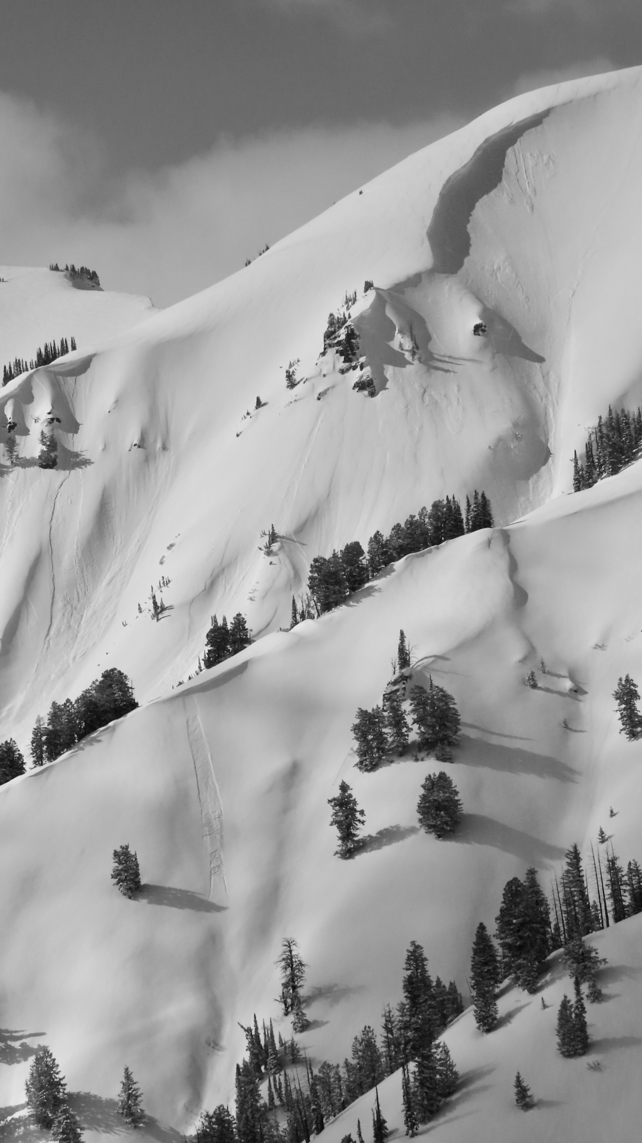
My primary concern was the newest snowfall (ranging from 4" to ~8-10" in the alpine) as skies cleared and direct solar made any new snow move easily, particularly on S aspects. Wind slabs remained stubborn and ~ 12-20 inches in depth, and could get anything to crack on ridgelines very far. Due to the right-side-up nature of the snowfall, I predicted new, loose snow moving on various interfaces would be the primary issue today along with the bigger beast of anything winded and well-connected. I did not predict clearing skies to the point of crusting aspects up to 9,200' on the south half of the compass, but unfortunately, that occurred. Though this has allowed the new snow to settle rapidly, I expect this thin crust to have developed some facets and be reactive with more snowfall. On N aspects I found weak snow around 30 cm down (similar to the Tetons) but non-propagating in pits. I will watch this interface moving forward. S aspects were fairly consolidated, with a mix of crusts and snow, but nothing deeper breaking cleanly. As we move forward in spring, I will watch any and all deeper layers as soon as temperatures trend towards non-refreeze. For now, my primary concern will be the old/new interface (today's snow surface and tonight's incoming snowfall), and see if things continue to react on the older old/new interface (beneath last evening's snowfall, now buried 4-7"+ in depth).
To be totally honest, I don't see much value in posting a full pit profile for today; the trend with on-the-mend-weak interfaces between multiple storms in the spring can be confusing, and remain variable both in ECTN scores and visible fracture character as well as avalanche occurrences. When these two things don't beg the hairy eyeball, I tend to not post them and focus on the surface snow, how it is changing, and with incoming snowfall, how to adjust terrain choices accordingly. However, moving into the next storm, assessing the top meter in snowpit tests and getting a tangible grasp (and your eyeballs) on recent interfaces that will continue to be buried deeper-- and though may heal quickly-- will be prudent and necessary in any steep or consequential terrain. Additionally, the low elevations continue to give me grief and will avalanche more frequently as temperatures continue to rise and snowfall continues to fall.
Avalanche
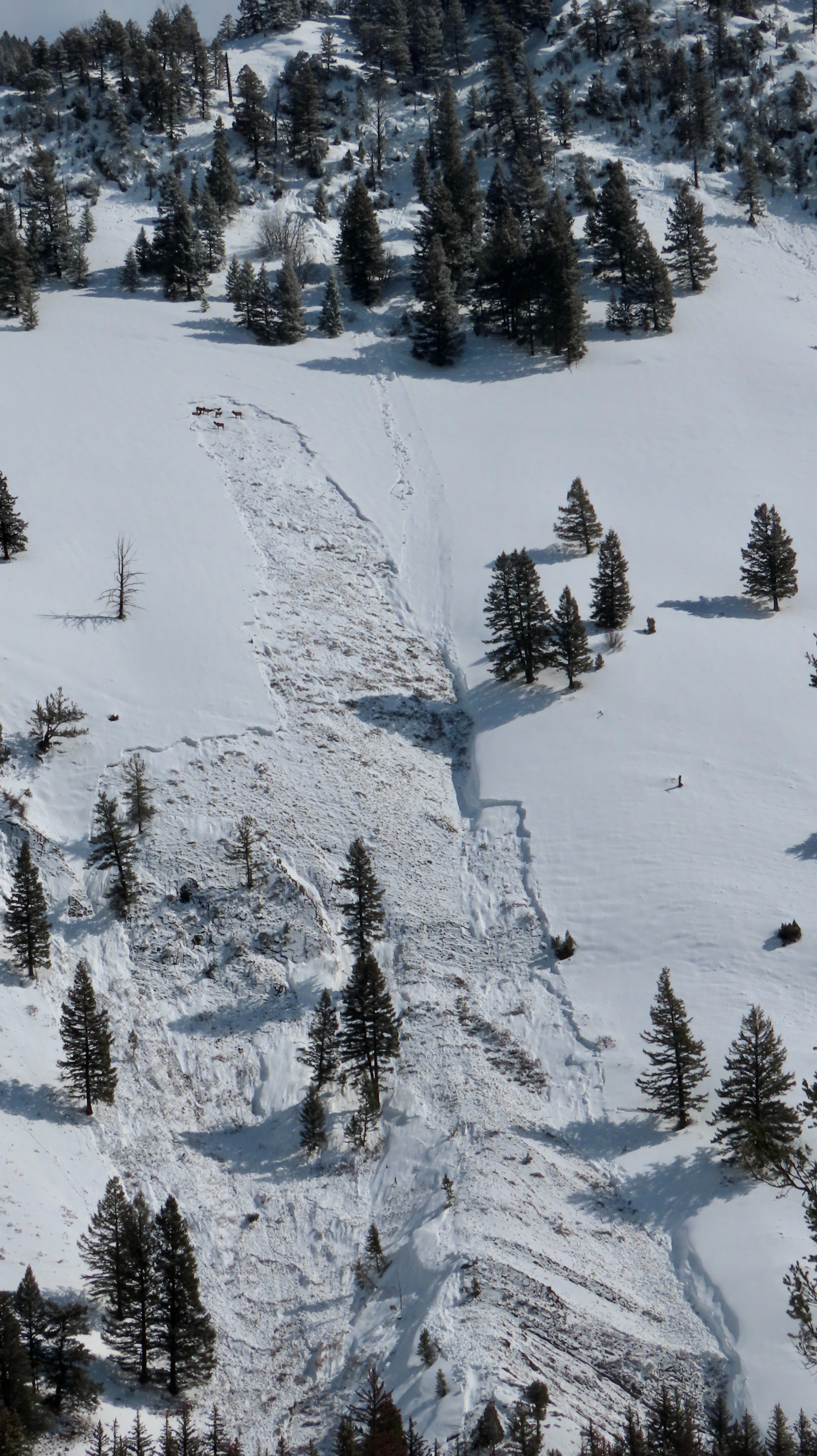
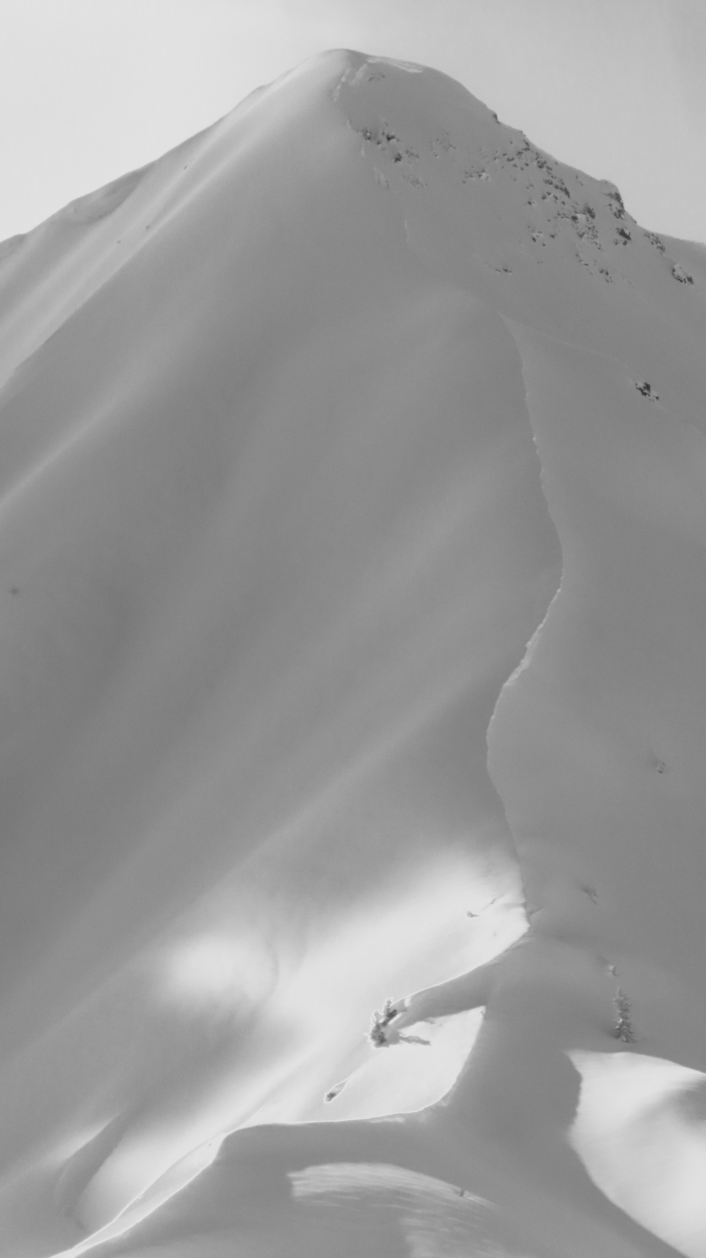
Noted at least 20 avalanches ranging from D1 new-snow sluffs to a several day-old D2 on N aspect (note elk hanging out at the top of the crown). Many lower-elevation avalanches went full-depth.