
Quick report
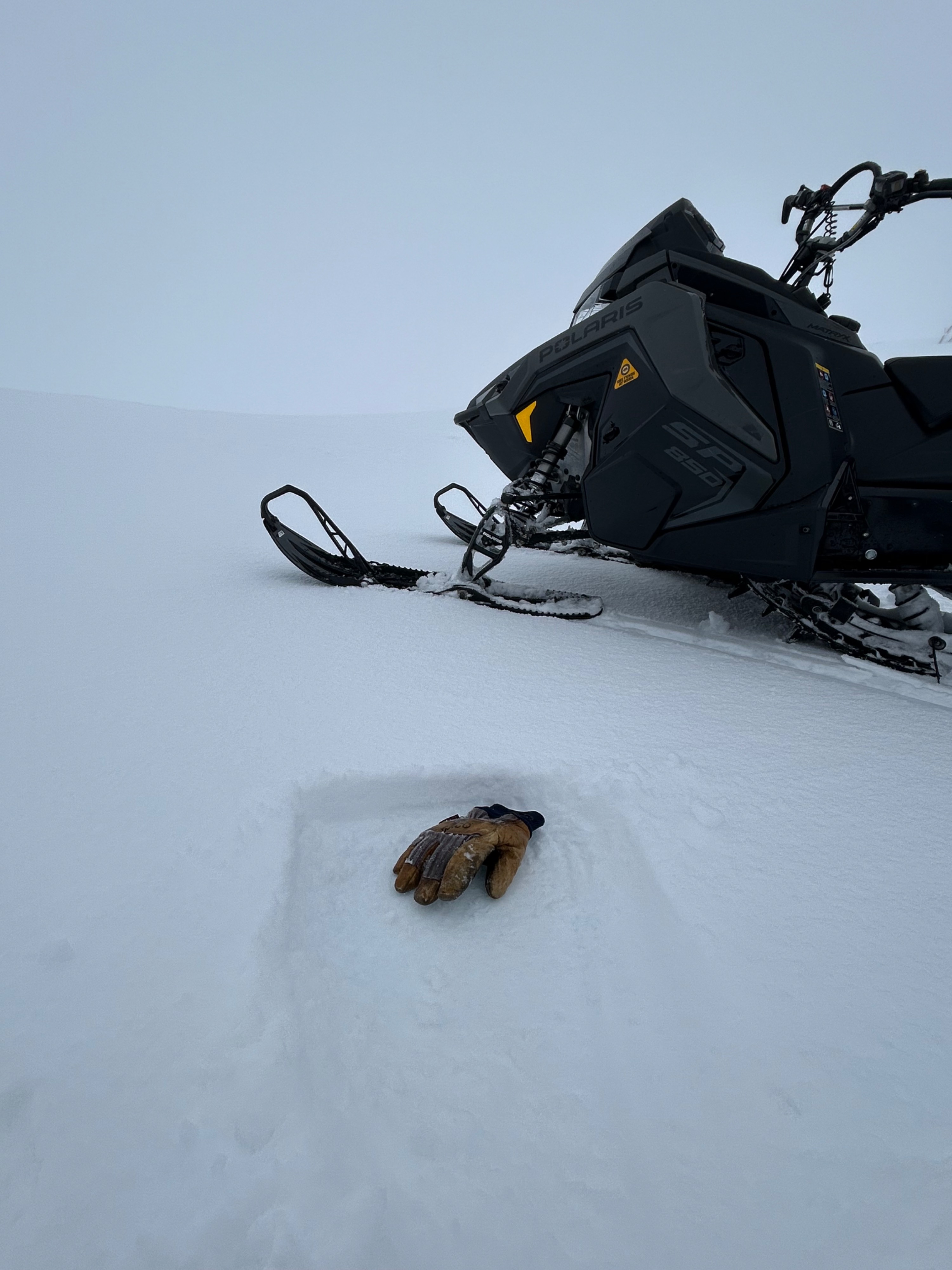
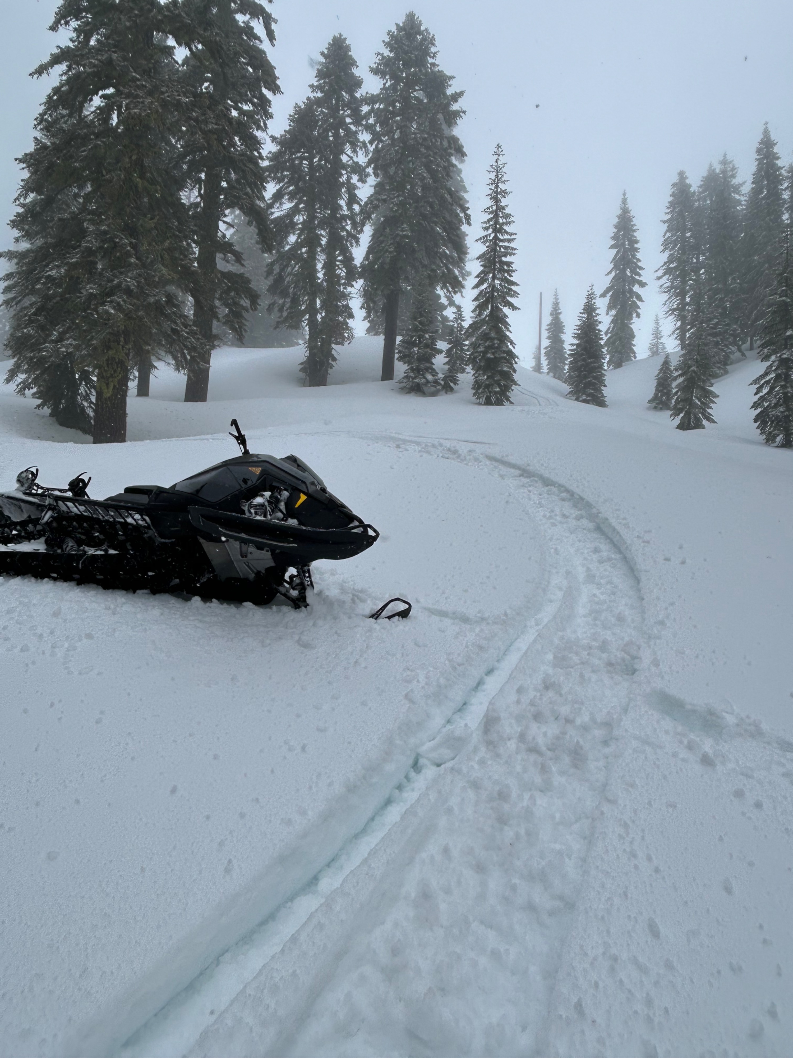
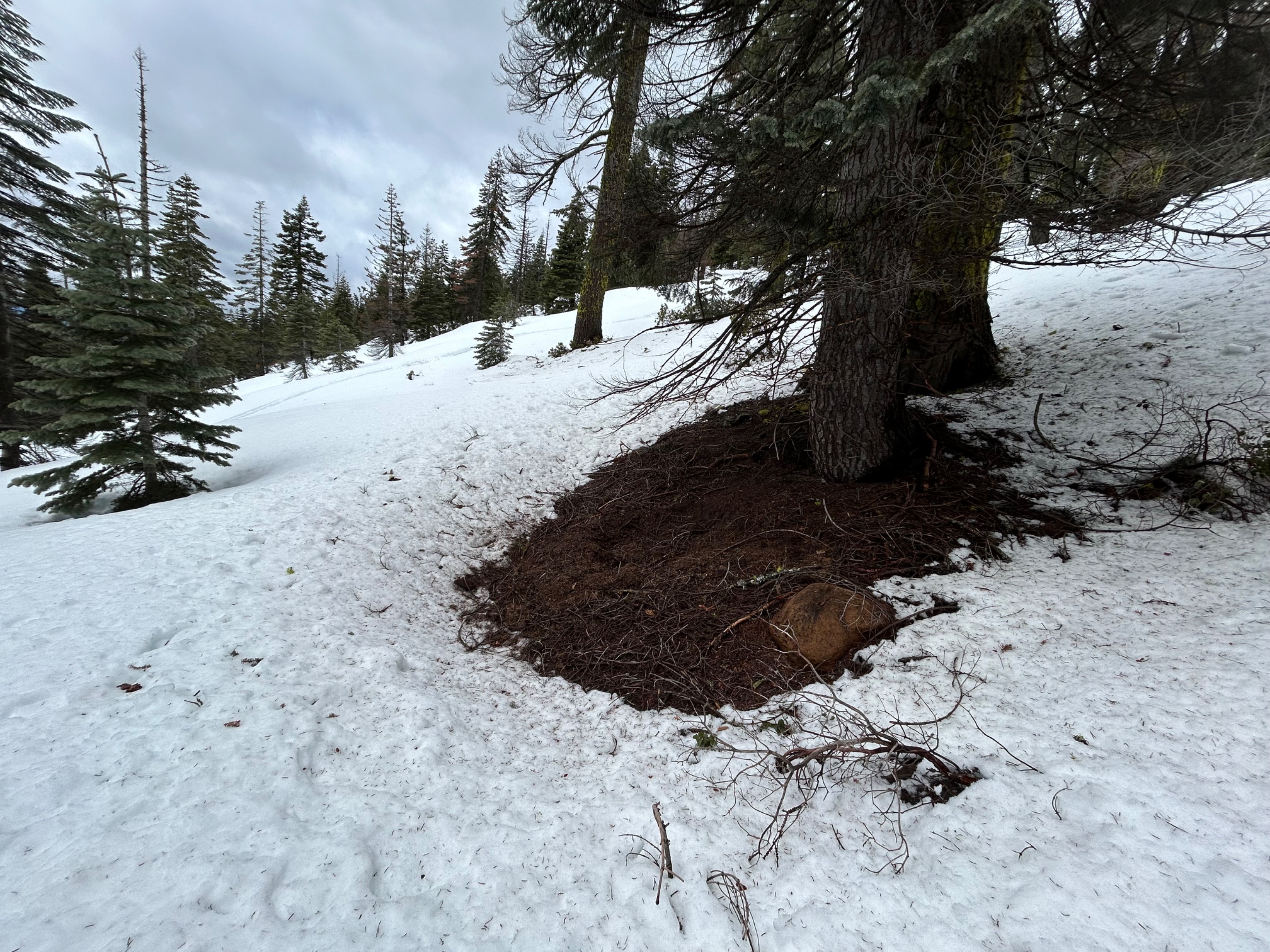
Today, I rode into the Old Ski Bowl to observe new snow amounts and evaluate wet snow conditions near and below treeline. While poor visibility limited my observations, no significant signs of avalanche danger were noted. Wind slabs are likely present in isolated alpine pockets, and with rain-on-snow and above-freezing temperatures, wet snow instabilities will continue to be a concern near and below treeline. Bare ground is emerging at lower elevations, exposing buried obstacles.
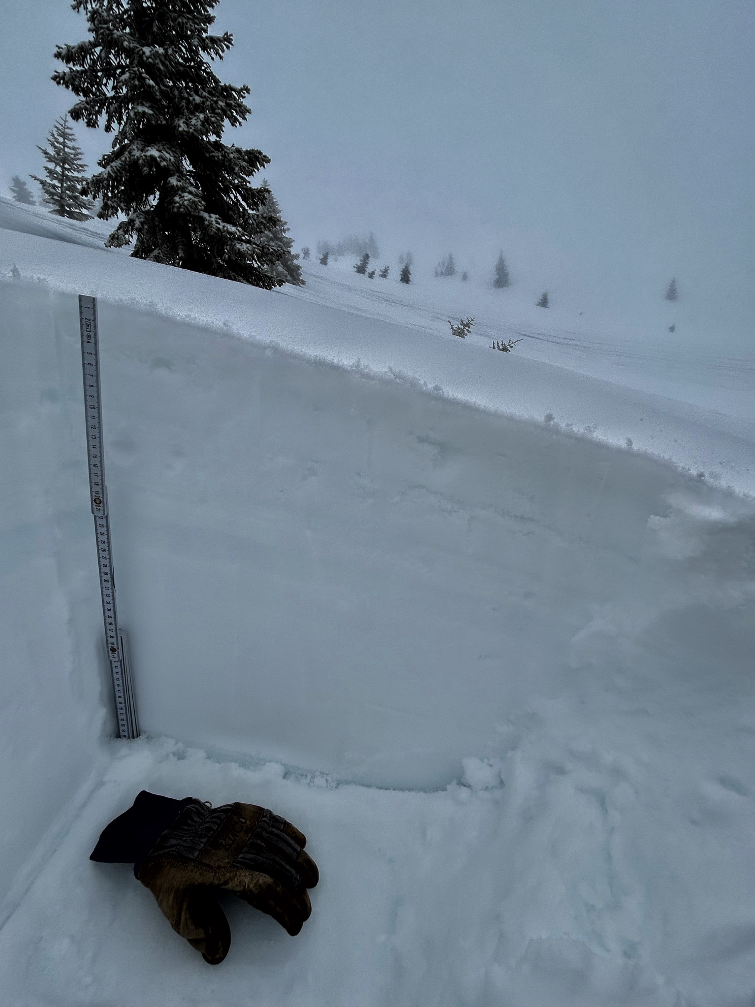
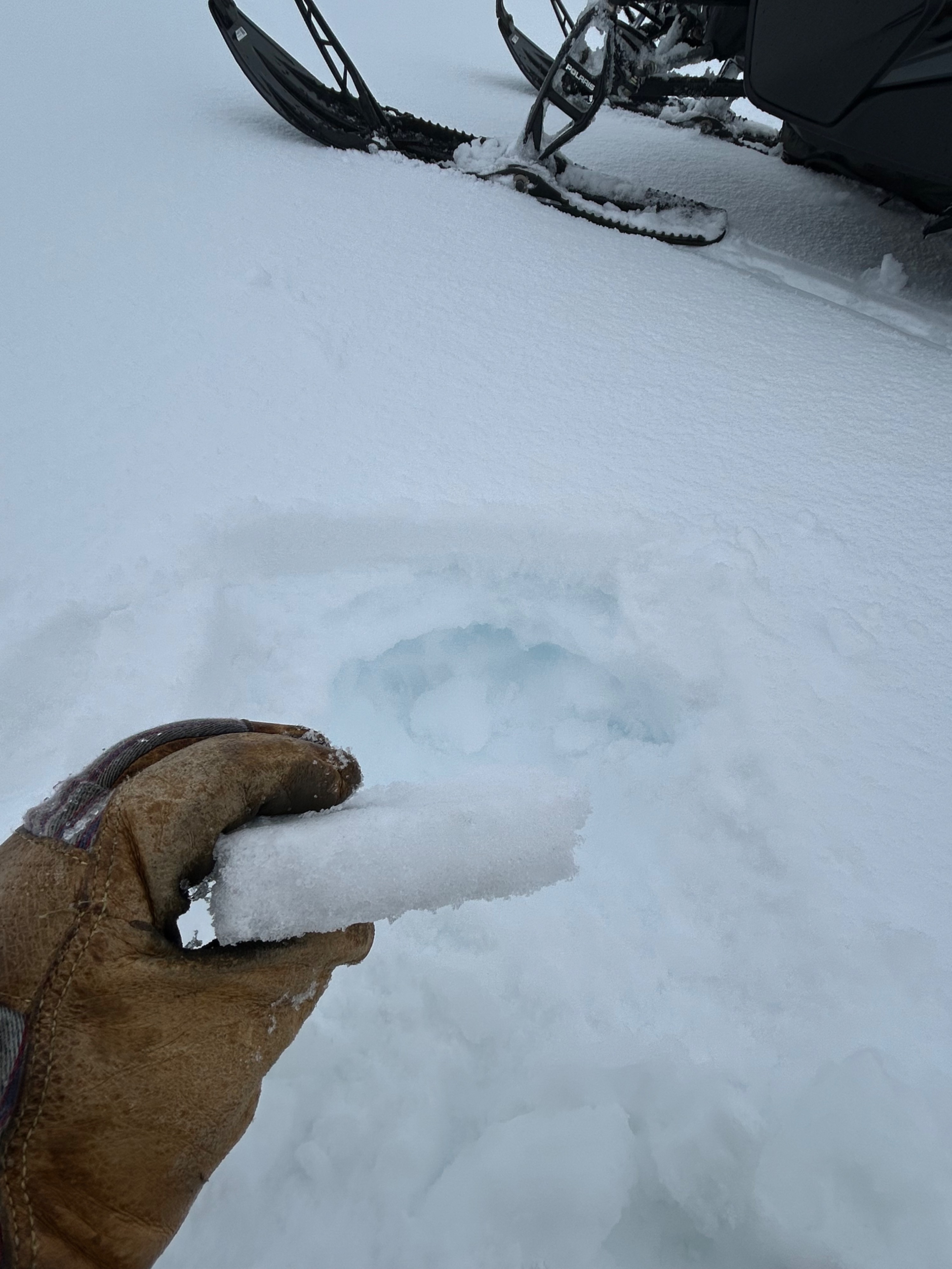
The snowline starts at 8,000 feet, with 0.5 to 1 inch of new snow observed between 8,000 and 8,600 feet. Poor visibility prevented higher observations. From 8,000 feet upwards, the top 30 cm of the snowpack transitions from a wet and mushy series of crusts, to a drier snowpack with a semi-supportable melt-freeze crust that thickens with elevation. Below 8,000 feet, the snowpack becomes wetter and weaker due to rain-on-snow and lack of freezing temperatures. At 7,000 feet, boot penetration was knee-deep.
Wet snow penetrable to knees or higher. Rain on snow.Weather
- Air Temp
- 31
- Cloud Cover
- obscured
- Wind Loading
- unknown
- Rain Elevation
- 5,600 feet
- Recent Snowfall
- 3.5
- Snow Avail For Transport
- small smounts
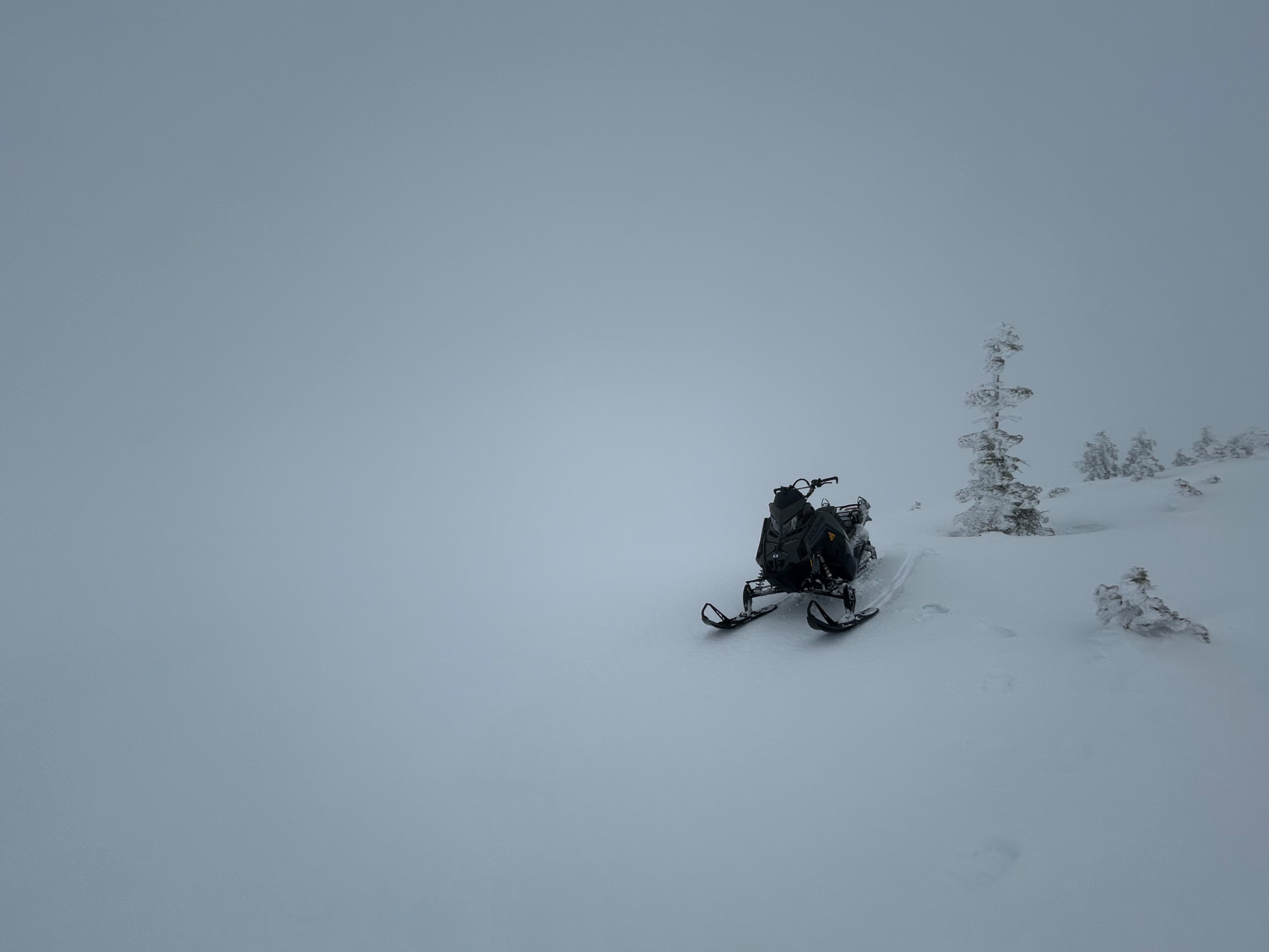
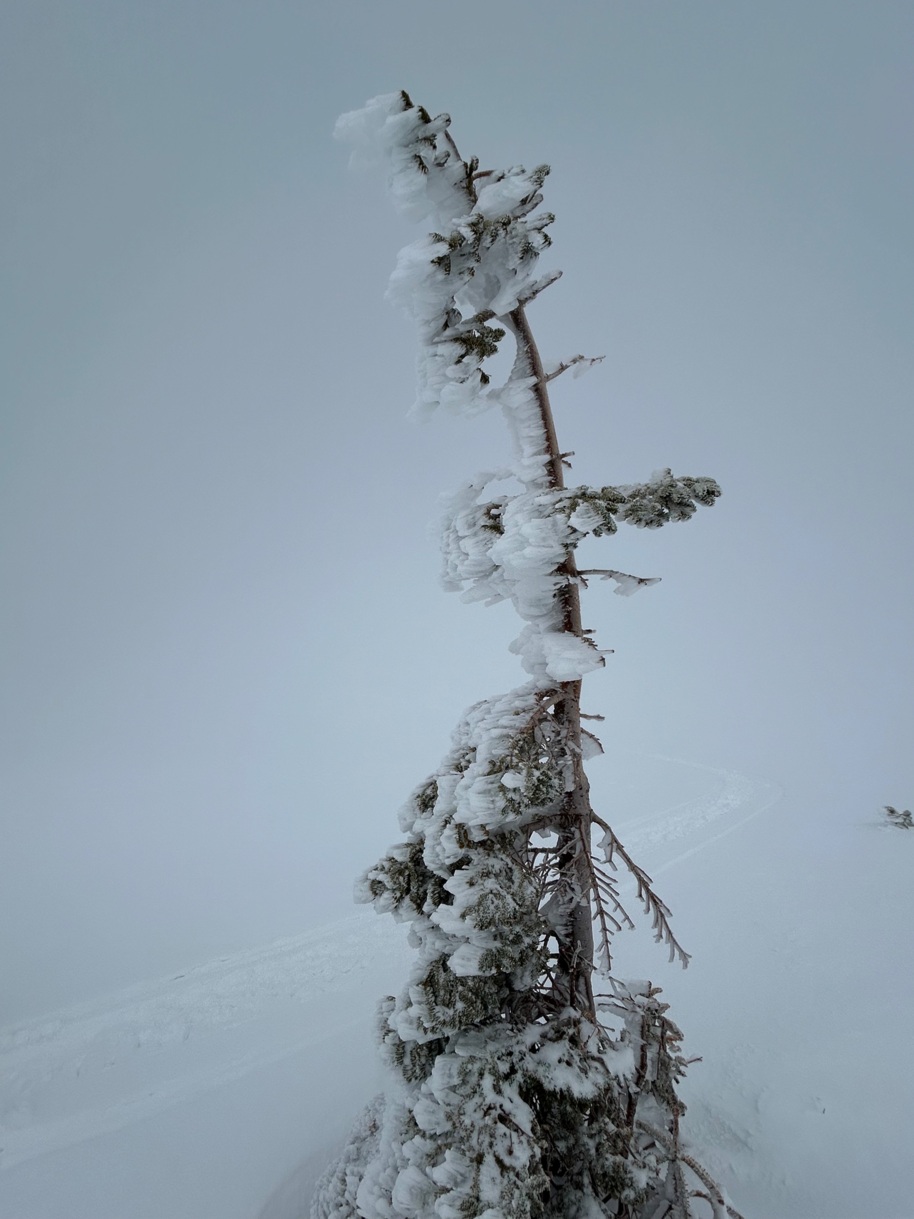
Today consisted of misty conditions, with poor visibility. Temperatures sat at or just above freezing levels for near treeline elevations. The wind could be heard higher up, but was not felt. Mixed precipitation fell at inconsistent rates.
Snowpack
The top 30 cm of the snowpack contains several thin crusts, with wet snow in between. Currently, the top 5-10 cm of surface snow on southerly aspects near and below treeline is wet enough to initiate a wet-loose avalanche. As temperatures rise and the sun comes out, surface melt will continue to percolate down through the snowpack, potentially weakening deeper layers and increasing the risk of larger avalanches. Forecasters will continue to monitor this developing issue.