
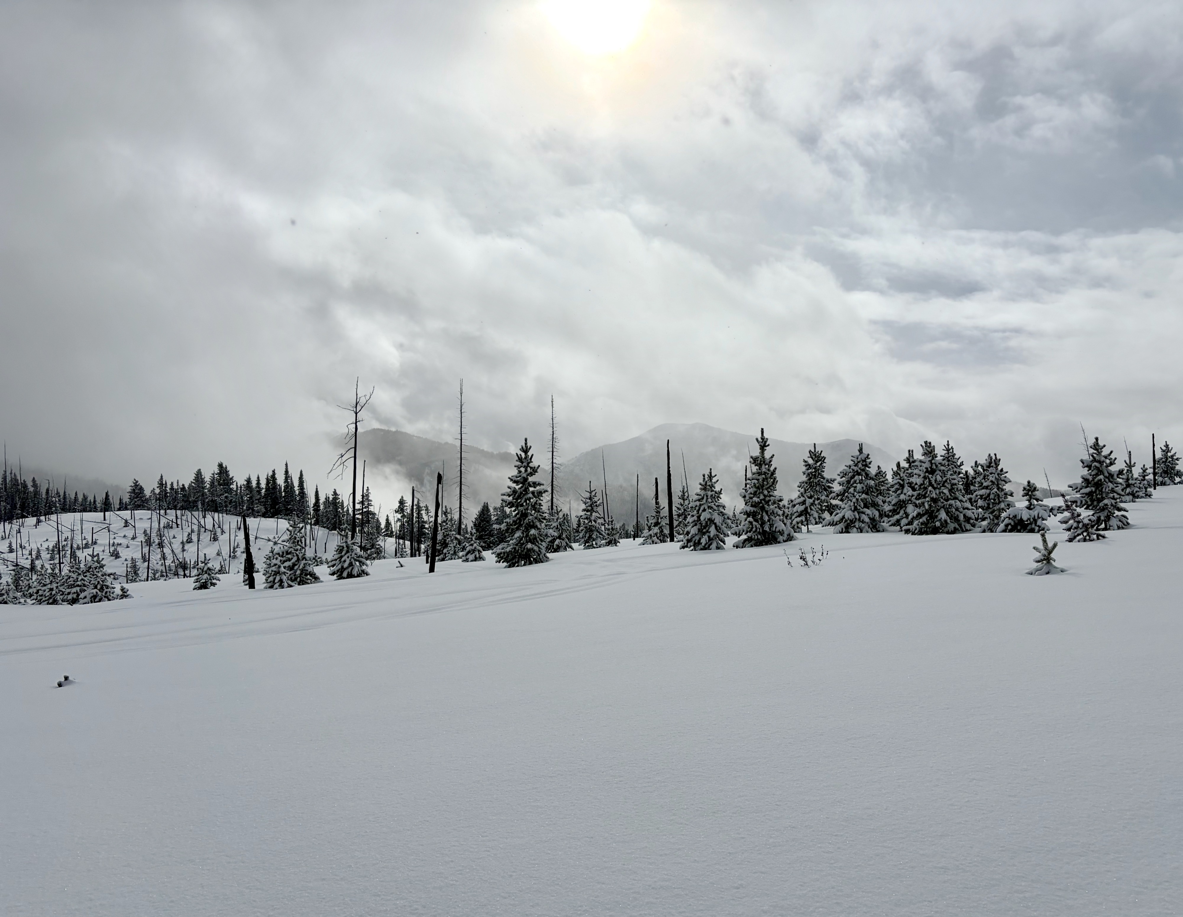
Quick report
- Collapsing
- isolated
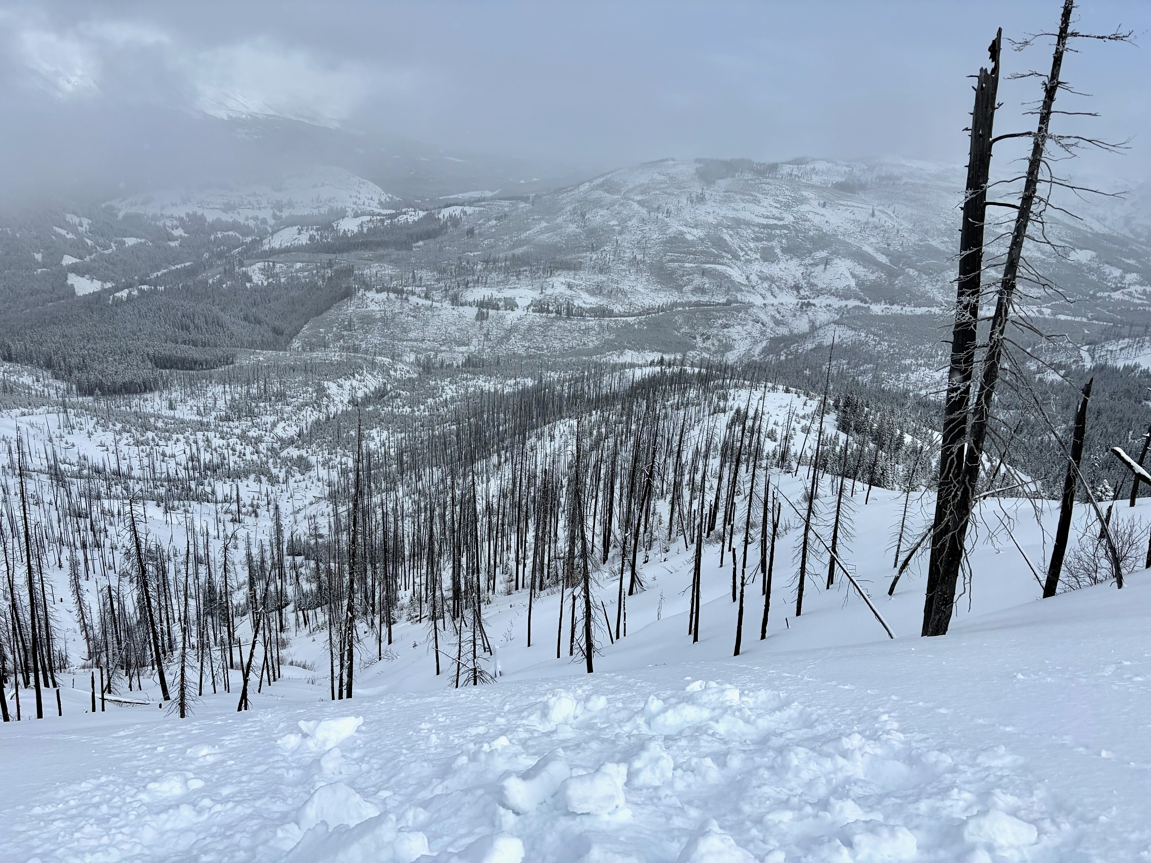
Quick tour up Mule Ridge to assess snowpack structure and overnight storm totals in the W Skyland region...
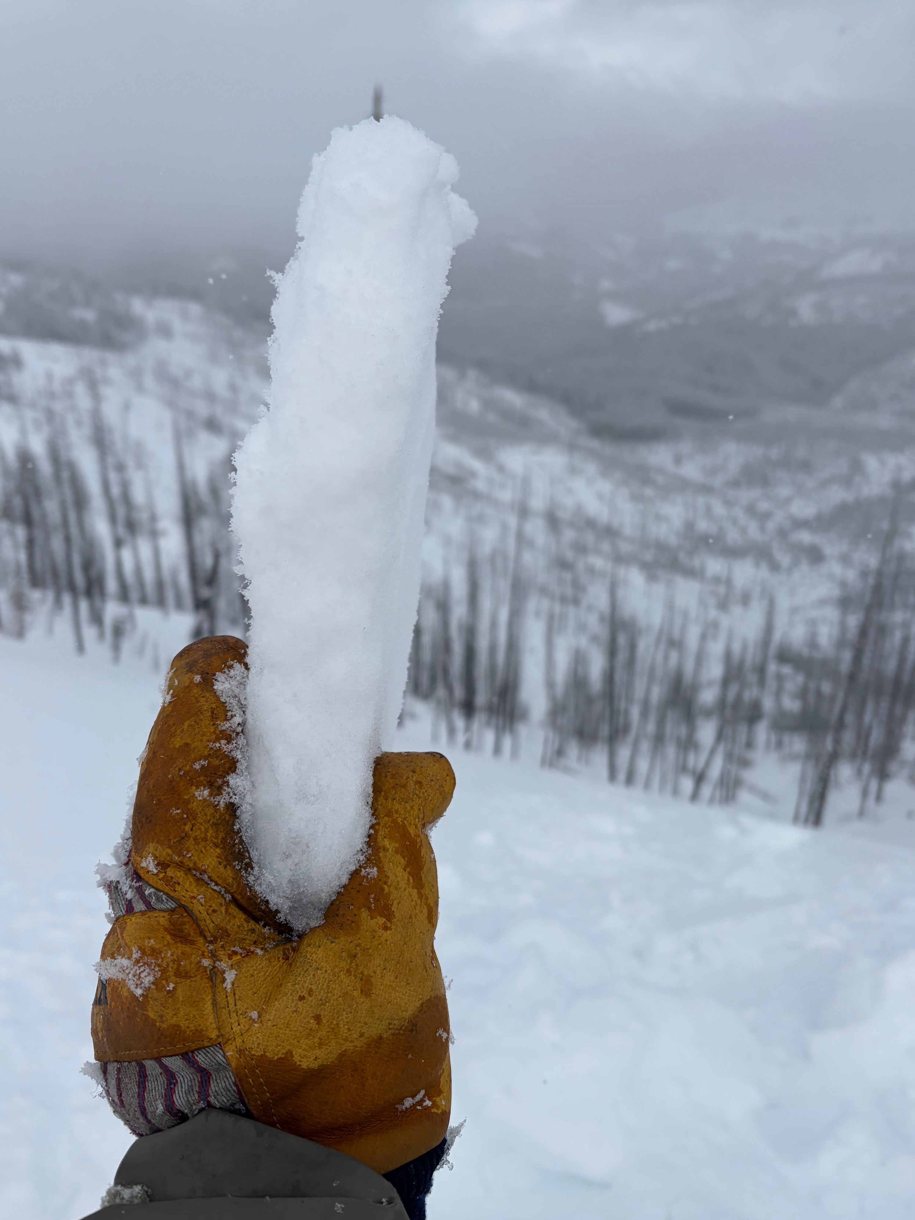
•6" (4500') - 10" (6200') of fresh snow. Warming (from brief, direct sunshine) was creating heavy snow surface conditions on solar aspects below 5500'
•Many locations had no previous snow on the W aspect I climbed. (no base)
•At my high point of 6200' the snowpack was ~120cm deep (typical of the thinner coverage in this region)
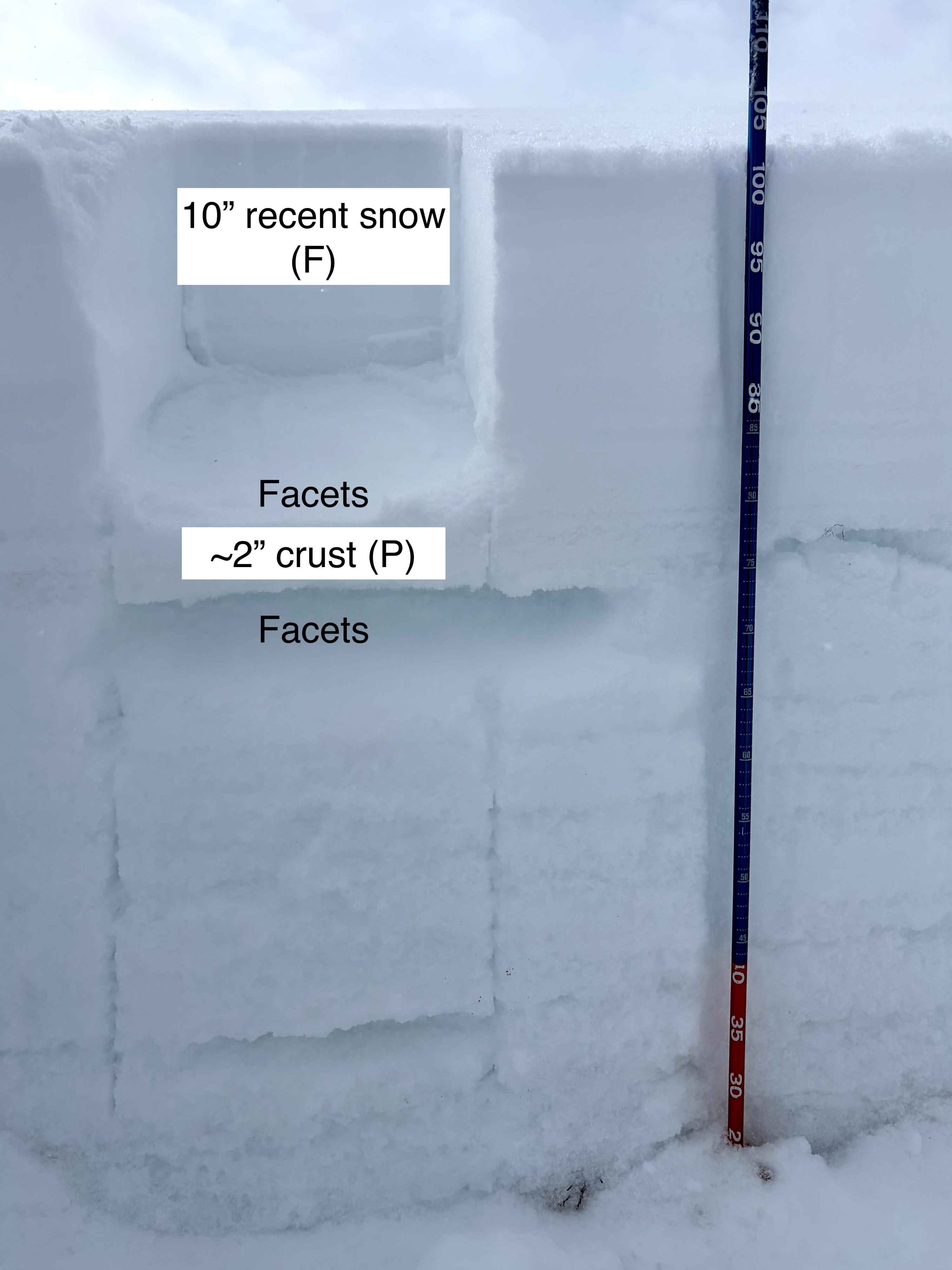
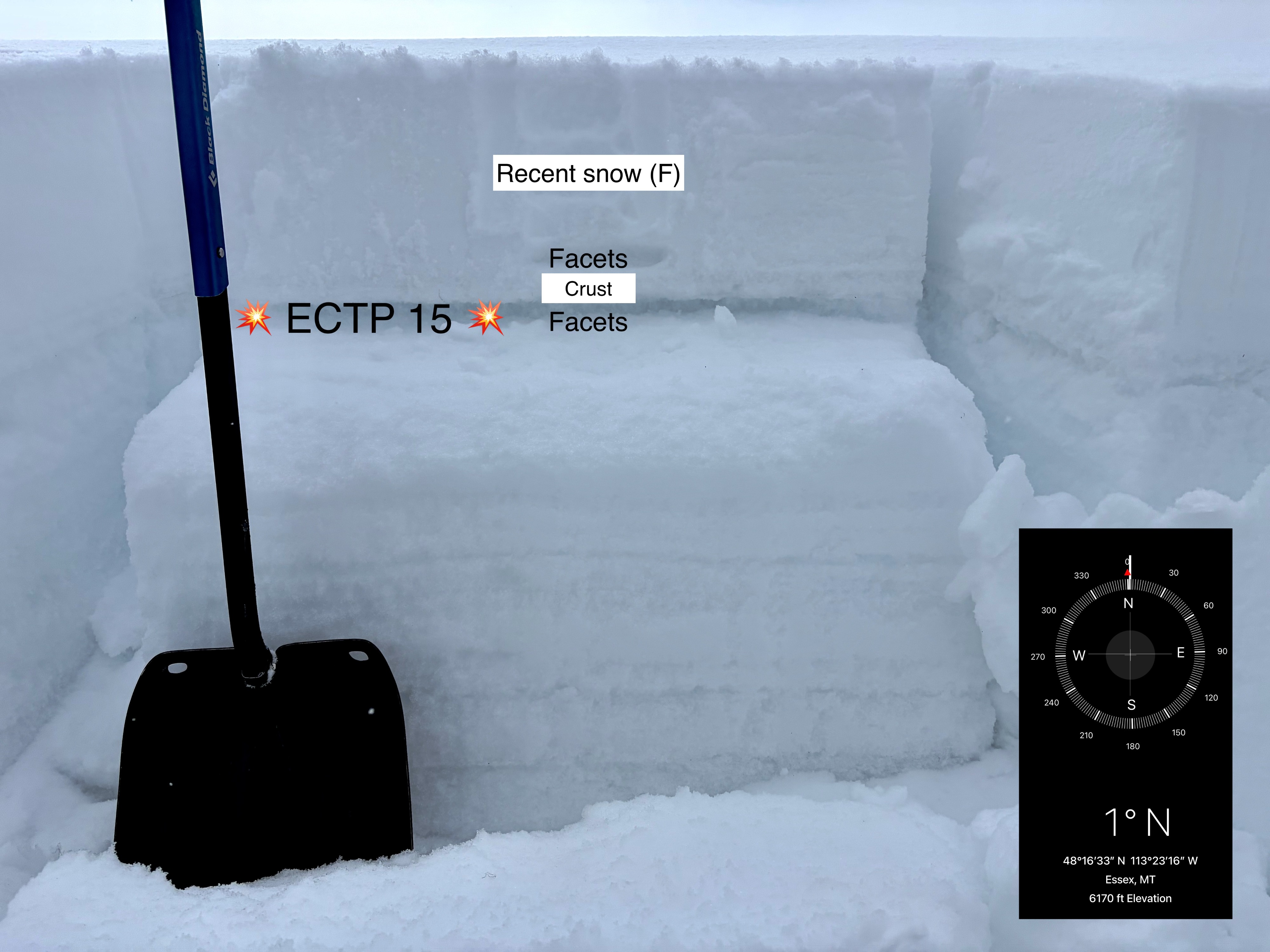
•Dug a pit on a N aspect and had moderate force failure (ECTP 15) 30cms below the surface
•Failure was on weak, faceted snow (5cm thick) below a pencil hard crust (5cm thick) formed in January. This crust was also capped with a thin layer (1-2cms thick) of facets. (see photo)
Weather
- Air Temp
- Below freezing (above 5000')
- Cloud Cover
- broken
- Wind Loading
- none
- Recent Snowfall
- 25cm
- Snow Avail For Transport
- moderate amounts
Bouts of sunshine with light winds from the W at ridgeline