
Quick report
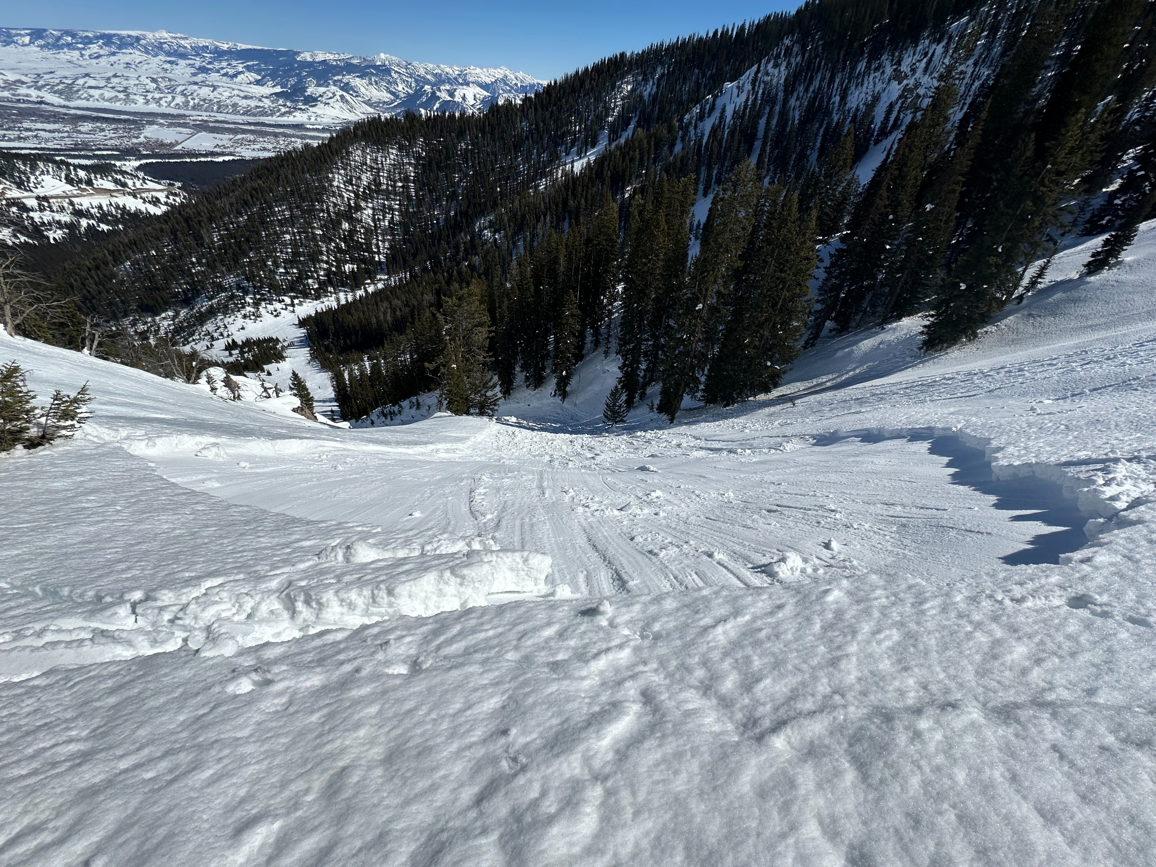
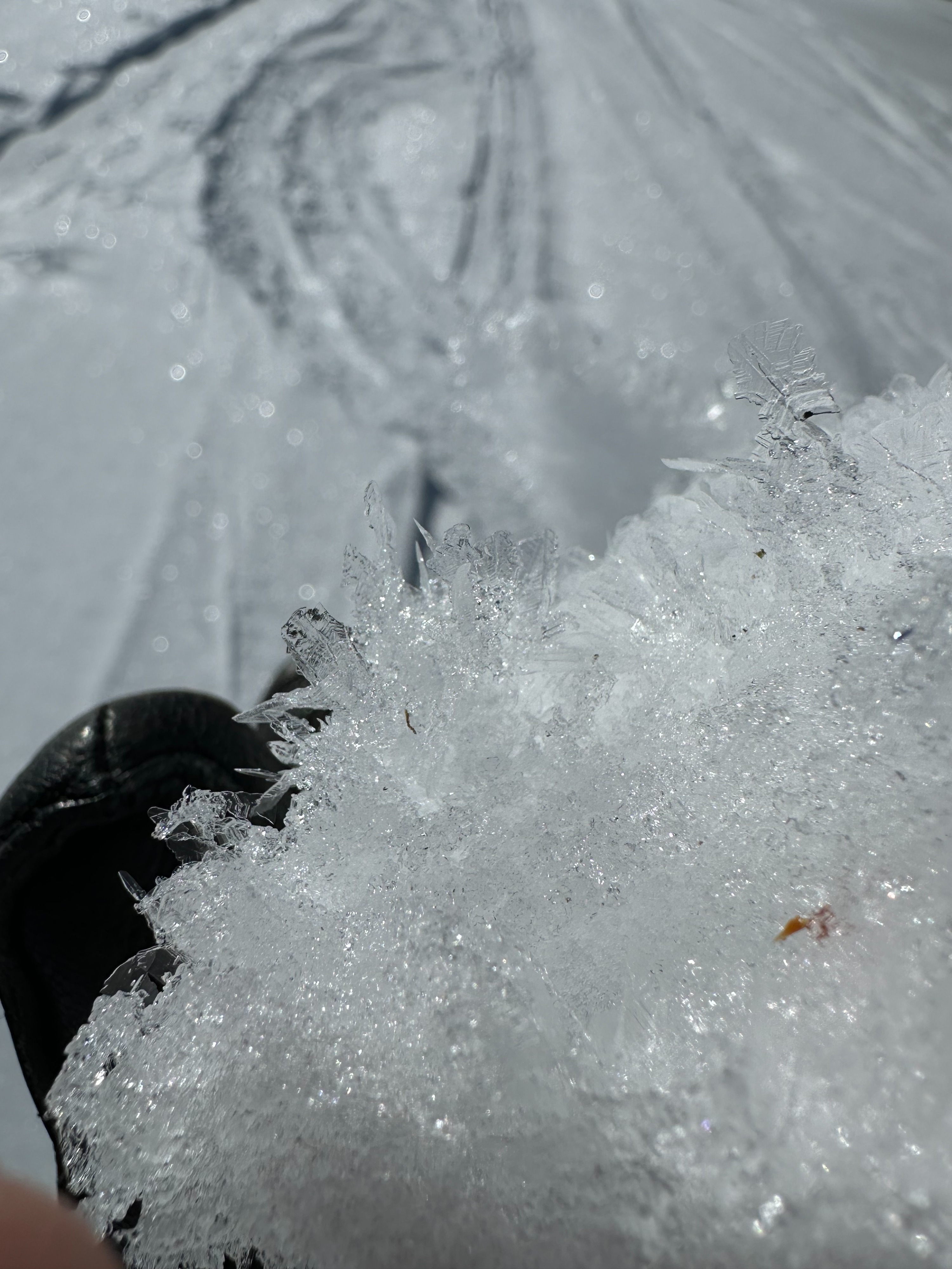
Toured along the ridgeline on the south side of Teton Pass. Winds were calm with occasional light gusts from the west. Temperatures were in the mid-30s F with clear skies. I was curious to see what warm temperatures were doing to the snowpack on different aspects. North-facing slopes generally contained cold snow, except in forested areas where heat was retained creating a greenhouse effect, heating the snow. On open northern slopes, surface hoar had developed and was still present by 2 pm. Western aspects were starting to see the sun and the top 2" of snow softened around 1 pm with dryer snow underneath. East-facing aspects had seen lots of sun throughout the day. Freewater within the snowpack was making its way deeper into the snowpack and pooling on a crust that developed before the most recent storm. I remotely triggered a wet slab from the ridgeline along Wolf Trap (see attached avalanche for more details) which happened on an east aspect. As above-freezing temperatures continue in the mountains, it remains important to pay attention to signs of warming. If the top layer of snow is becoming unsupportable, that's a clear sign to move out of solar avalanche terrain. Starting your day early, and finishing before the afternoon heat will be your best bet for avoiding wet avalanche problems.
Remote triggered a D1.5 wet slab avalanche on an E aspect at 9700' in Wolf Trap.Weather
- Cloud Cover
- clear
- Wind Loading
- previous
- Recent Snowfall
- 0
- Snow Avail For Transport
- none
Clear skies and warm temperatures (above freezing). Winds were generally calm with occasional gusts to light from the west on ridgetops.
Avalanche
- Size
- D1.5 R2
- Type
- WS
- Aspect
- E
- Trigger
- AS
- Elevation
- 8700 ft
The only activity noted throughout the day was the remote-triggered wet slab avalanche in Wolf Trap.