
Quick report
- Cracking
- widespread
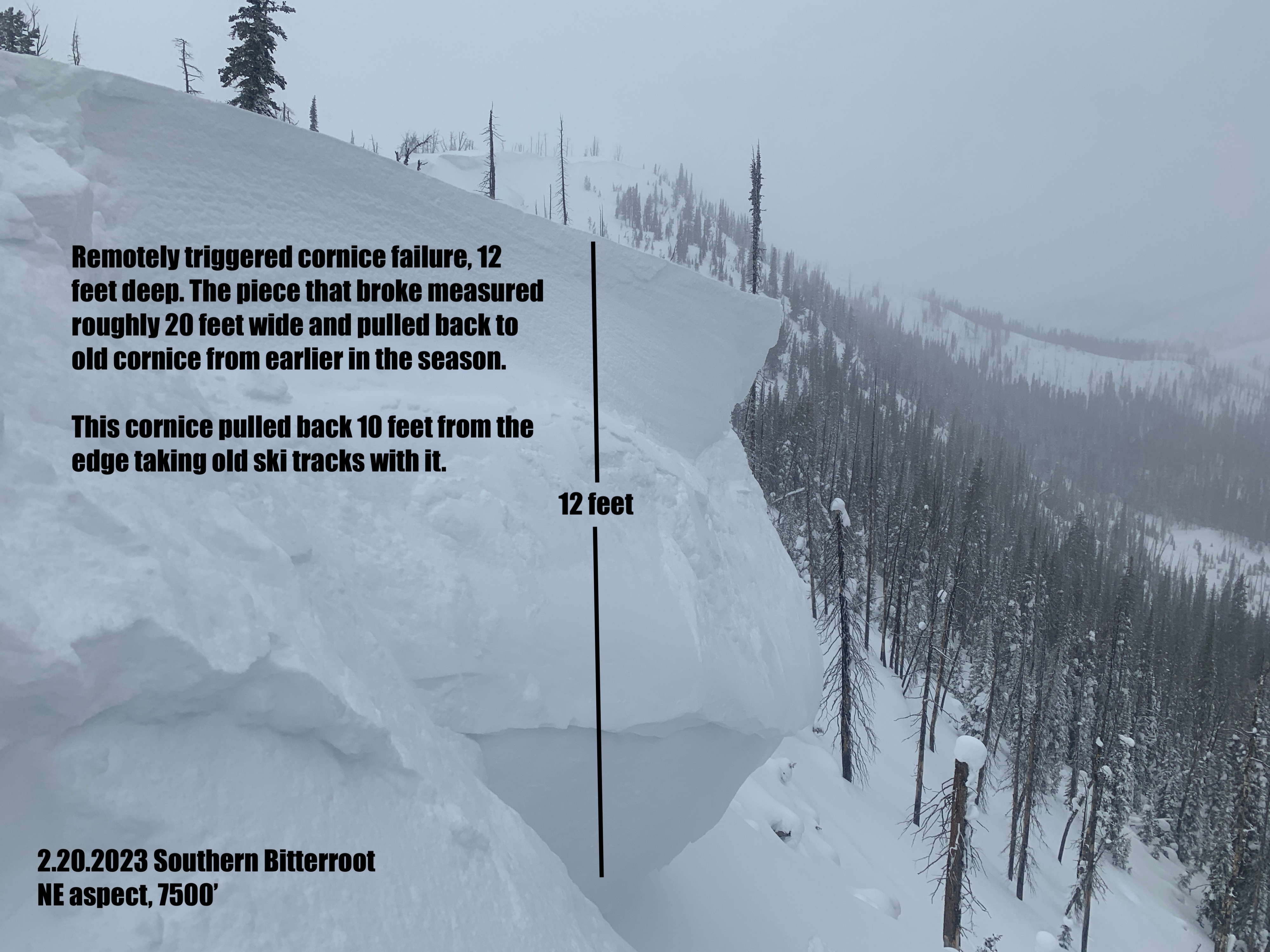
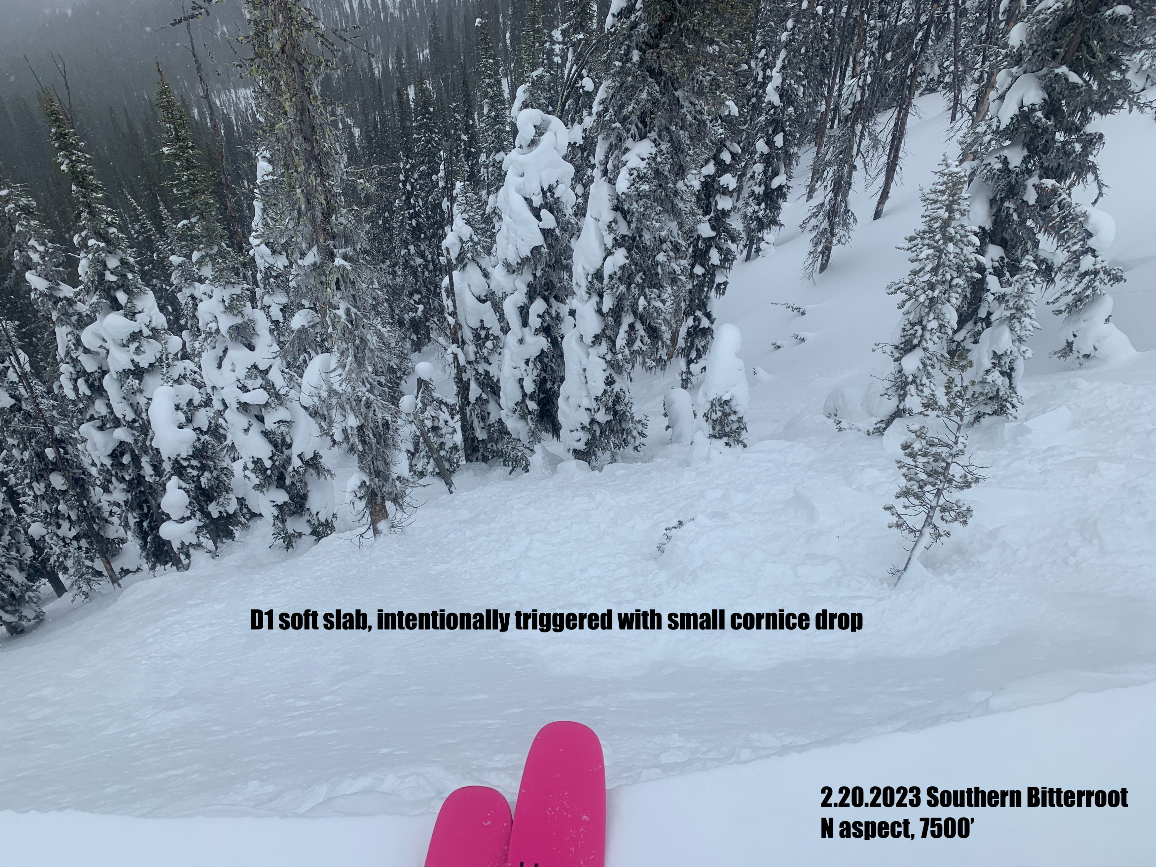
We were able to easily trigger soft slab avalanches on northeast facing ridgelines 12-18 inches deep. We also remotely released multiple cornices which in turn released soft slab avalanches.
Weather
- Air Temp
- Warm. Temperatures stayed above freezing to 6000' through the day. Temps at 7500' were high 20s.
- Cloud Cover
- overcast
- Wind Loading
- moderate
- Rain Elevation
- 6000'
- Recent Snowfall
- 9 inches of dense snow. It is hard to tell what the 24hr new snow total is but I'm calling it 9 inches since Saturday.
- Snow Avail For Transport
- moderate amounts
Snow throughout the day, but significantly less than what was forecasted. The sun tried to peak through mid afternoon for a few hours but skies never cleared beyond broken. Winds stayed moderate to strong out of the west through the day.
Snowpack
Our focus today was to assess storm snow and recent wind loading. We observed an average of 9 inches of high density new snow. There was also a density inversion within the new snow with the top 3 inches significantly denser than the snow below. Strong west winds have stripped west aspects down to an old crust. On east aspects, the new snow and wind has created a slab 12-24 inches deep.
Avalanche
- Size
- D2 R3
- Type
- SS
- Count
- 2
- Aspect
- NE
- Trigger
- NC