

Quick report
Strong winds shifted from northwest to southwest throughout the morning. Where we travelled there was no snow available for transport, as the snow surface was a supportive melt freeze crust. However, from the highway we observed active wind transport on peaks over 8000 feet, and suspect wind slab formation.
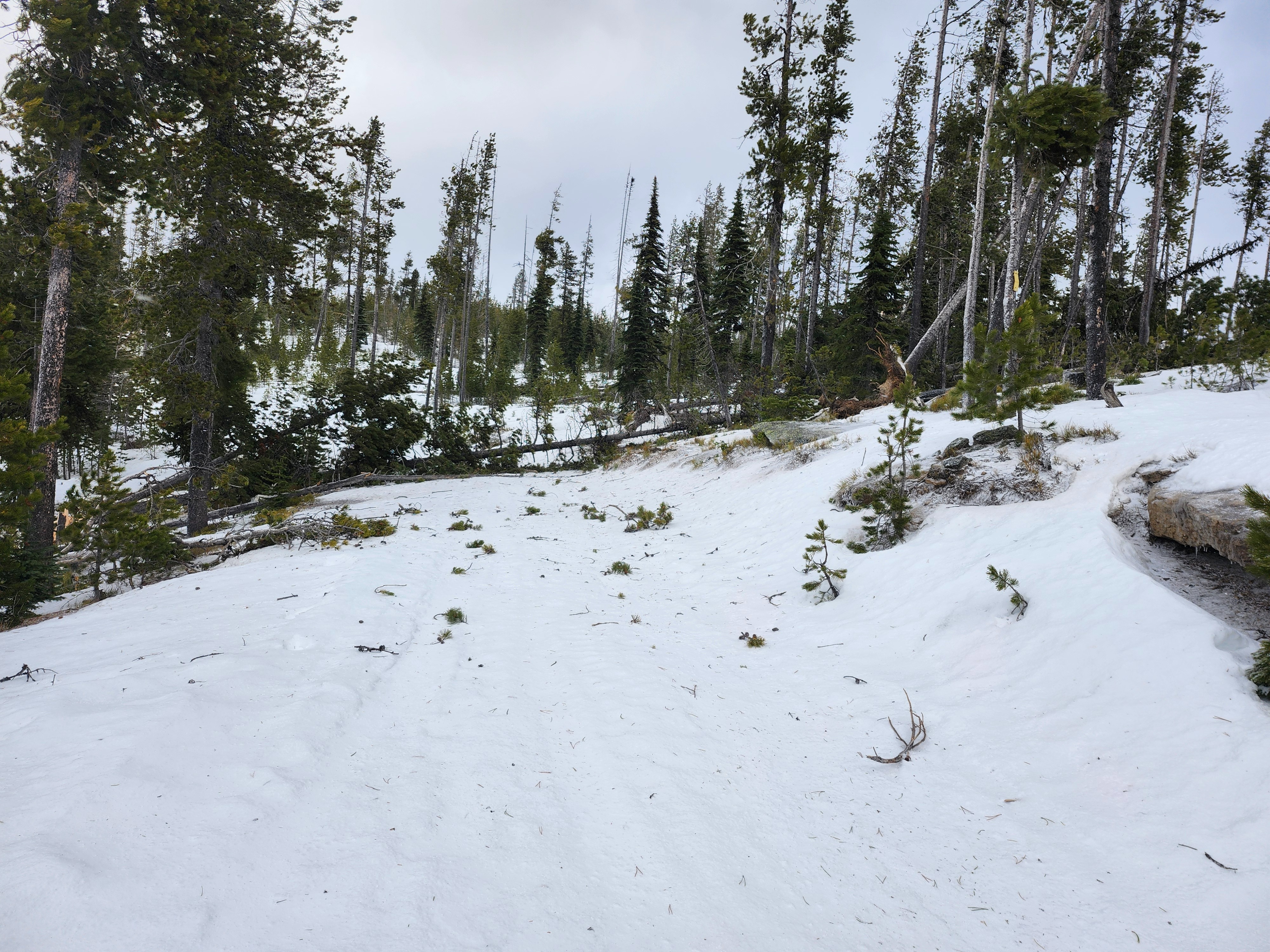
Our most obvious hazard was trees snapping and falling in the wind.
Weather
- Air Temp
- 30
- Cloud Cover
- overcast
- Wind Loading
- intense
- Rain Elevation
- Between 4000 and 5000 feet
- Recent Snowfall
- 0.1
- Snow Avail For Transport
- small smounts
Winds were strong to extreme out of the southwest. No surface snow was available for transport, but there was intense wind transport of falling snow. Snowfall rate was less than 1 cm per hour when we left the car, but intensity increased throughout the day.
Snowpack
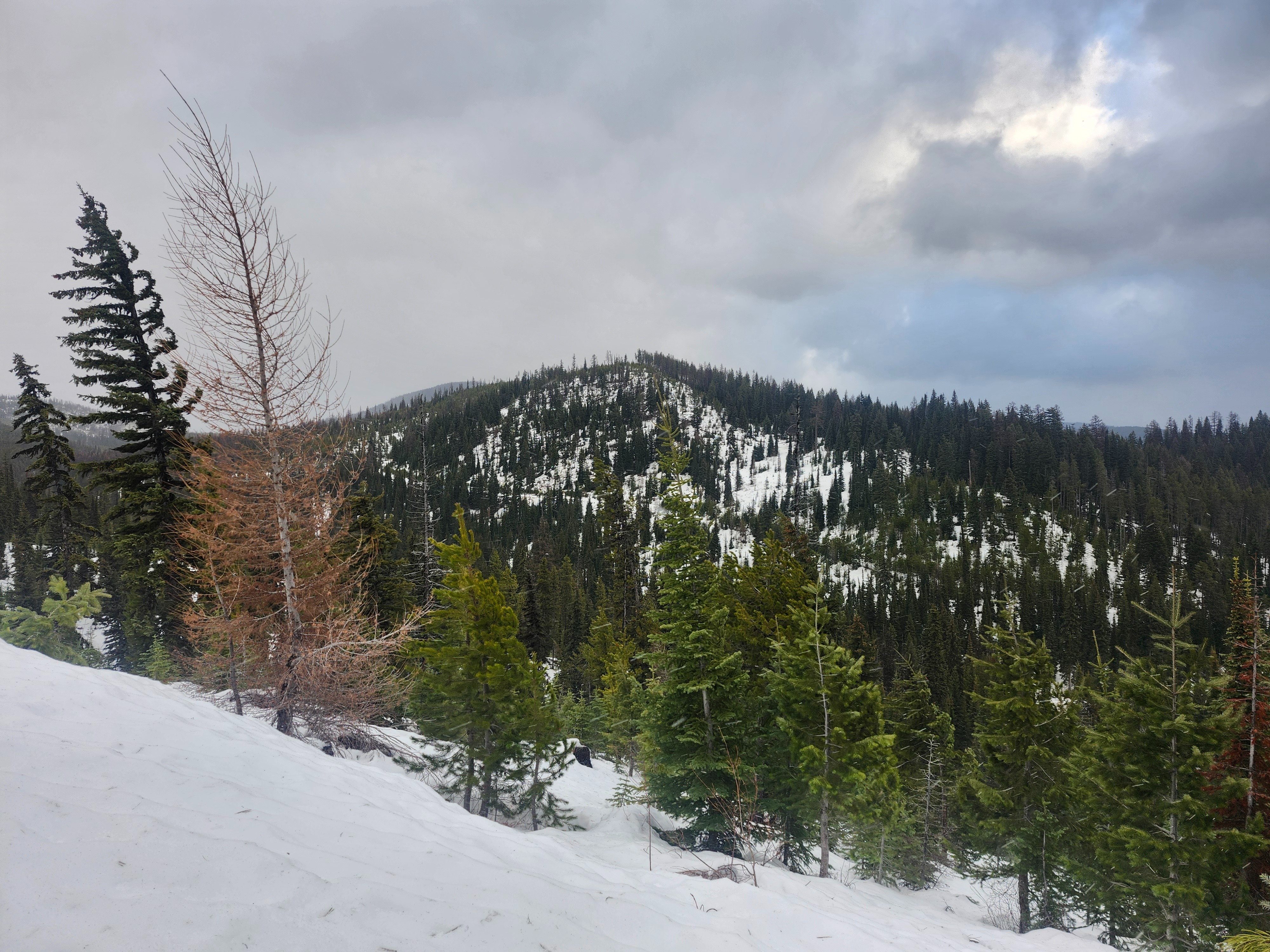
From the parking lot (5200 ft) to our high point at 6200 ft, the snowpack depth varied from 12 - 20 inches (30 - 50 cm). The surface was a supportive melt freeze crust about half an inch thick. Below this was moist/wet melt forms to ground.
Avalanche
None observed