
Quick report
This was an off duty afternoon ski after a drive back from a seminar in Bozeman. My goals were to look at variability of new precip (rain and snow) by elevation, presence and sensitivity of wind slabs, and to stretch my legs.
I experienced a solitary collapse at middle elevations (around 8,200'), likely involving sandwiched crusts with wet grains in between.Weather
Snowing S-1 to S2 from Craters of the Moon all the way to the WRV (driving through Carey at 1245). Some short periods where the sky lightened as I drove north through the WRV, but snowfall remained fairly steady. 10cm (HN 12) very dense snow (est 12-13%) at SNRA at 1400 (6350'). Snow was unsupportable to my shoes here, with foot penetration to near ground (probably would have mostly floated with skis on). 10cm HN12 at Baker, but lower density (estimated at 10%). By Galena Lodge the new snow from the morning had decreased a bit (HN12 = 8cm).
Snowpack
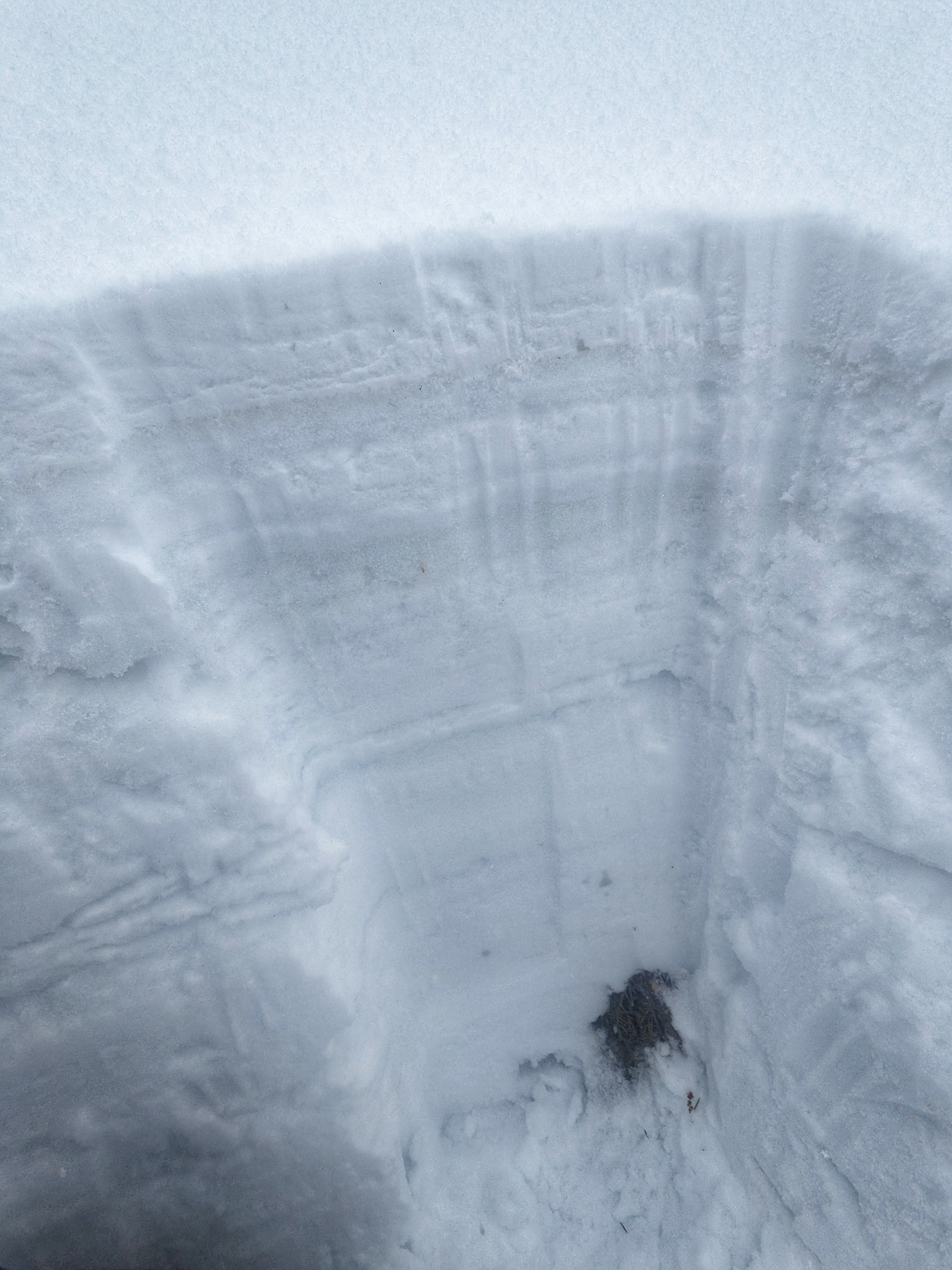
Pit 1
7,750', SSW aspect, HS=135-145cm
8cm of new snow since this morning (same as observed at truck on hwy).
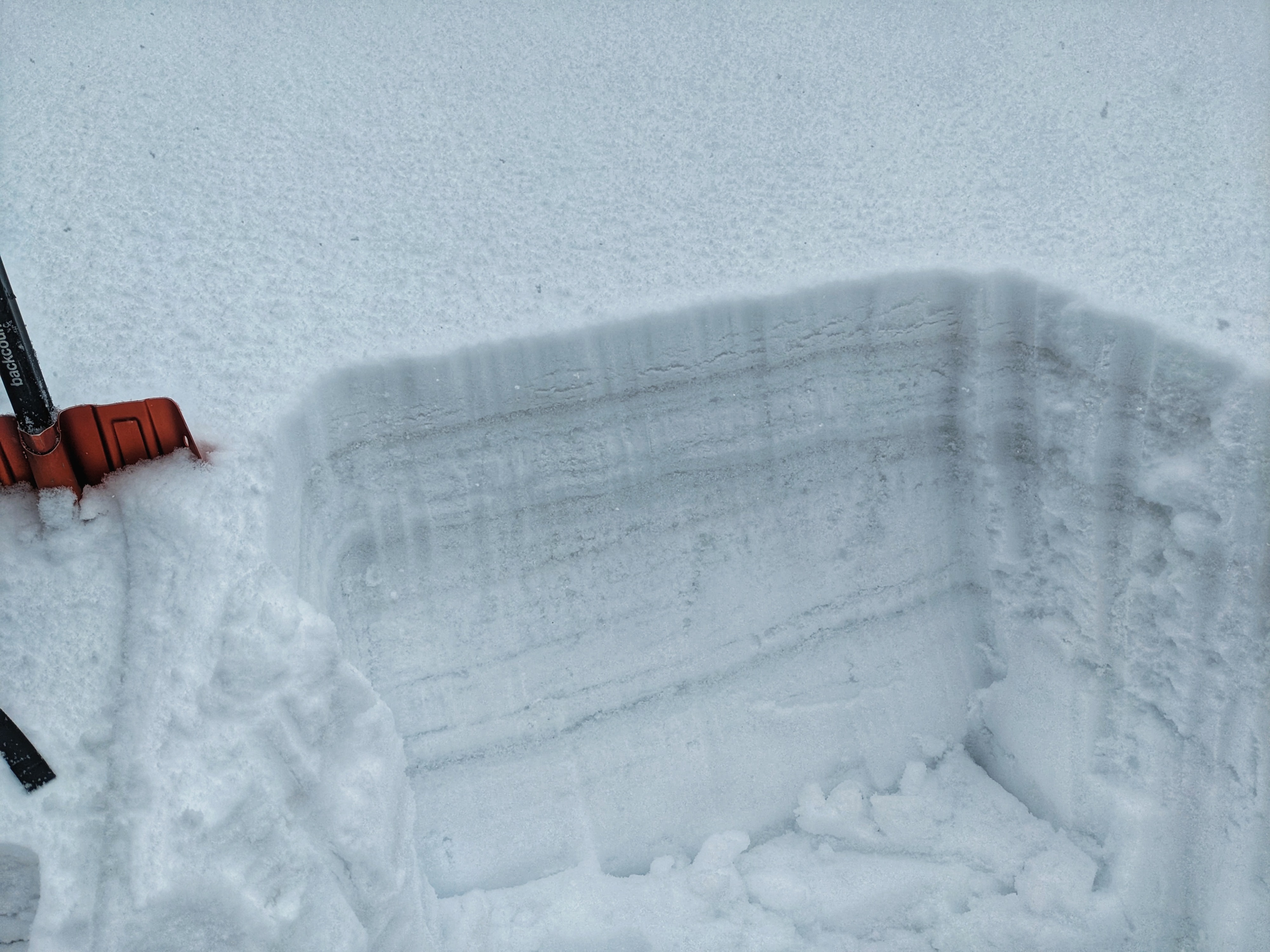
Pit 2
8,150', WSW aspect, HS=120-130cm
10cm new snow since this morning.
ECTN11 x 2 down 10cm at base of snow from this morning
ECTN 12 and 13 down 17cm (mid storm interface, looked like big plates)
ECTP 14 and 19 down 30cm (this is the 4/3 interface, when precip started on Wednesday afternoon). There were sandwiched crusts here with wet grains and liquid water underneath
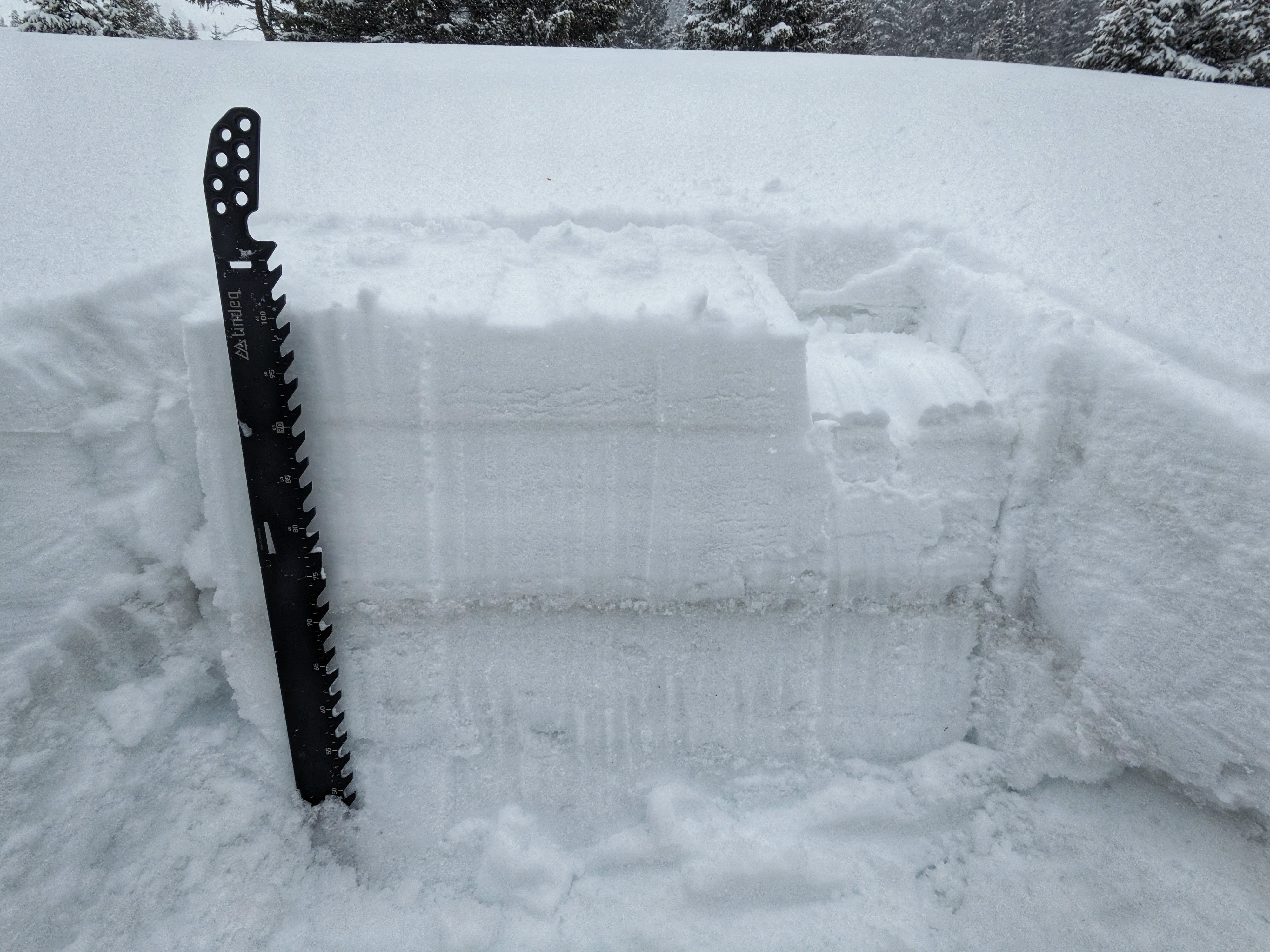
Pit 3
8,500', W aspect
12cm new snow since this morning, 4/3 is down 35-40cm here and well bonded to the surface below. Lots of water below 4/3, definitely saw significant amount of rain at this elevation. Water has been forced through the entire snowpack, the DH near the ground is wet and weak. I did not get notable results with ECTs in this pit location
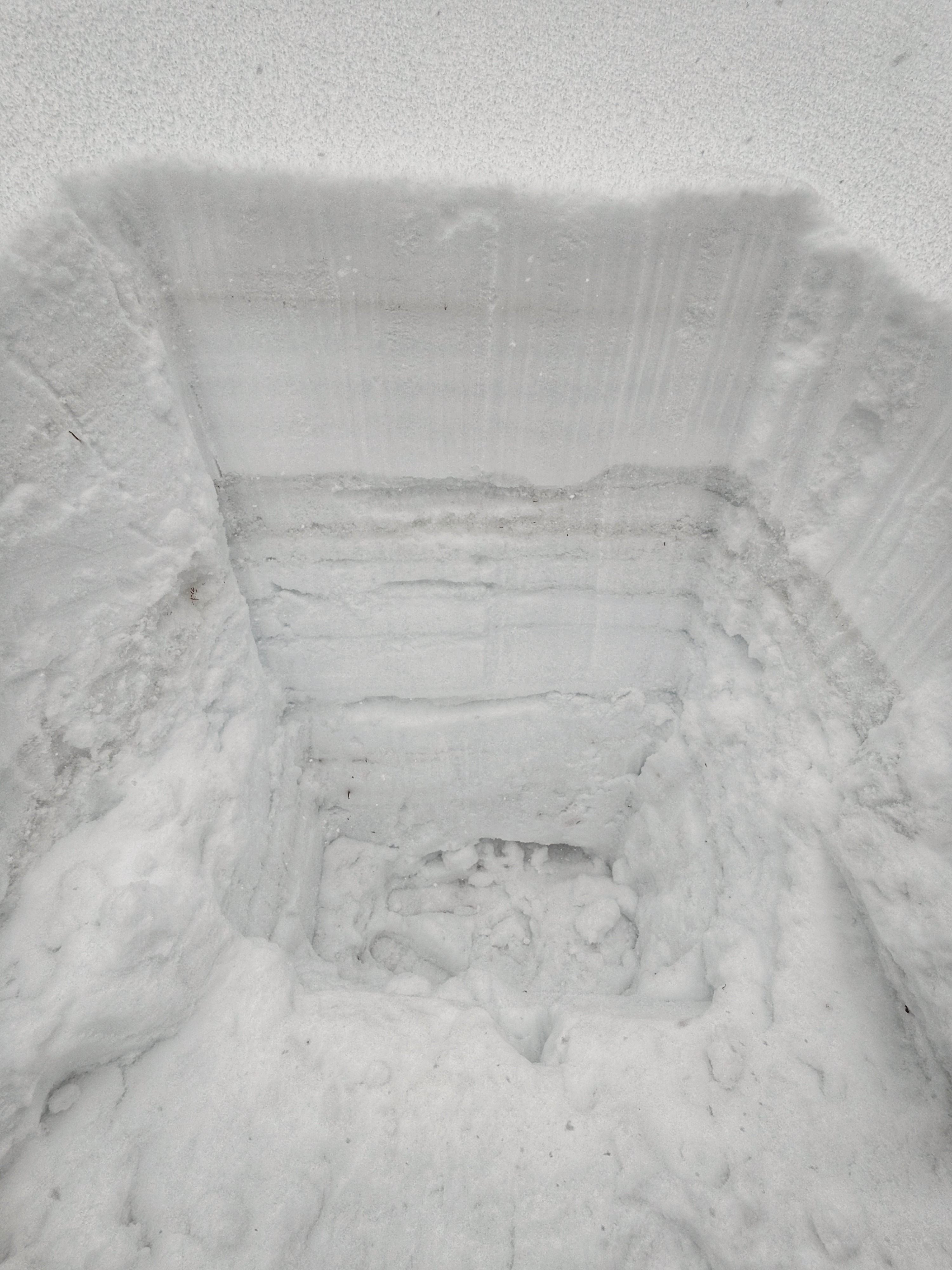
Pit 4
9,000', W aspect
15cm HN12, 4/3 down 40-45cm
Snow is well bonded at 4/3 interfaces, with a few mid-storm interfaces producing rough shears. I performed a few CPSTs here on the very weak, wet snow buried down 90cm and got variable cut lengths, from 32/100 END to 50/100 END. The column was just collapsing into the slush/moosh below.
Long story short, the snowpack has lots of liquid water in it that needs to drain and refreeze. Wet snow issues may turn on quickly during periods of sunshine as the new snow is melted and flushed into the snowpack. It was tough to get a sense for how much snow had fallen above the rainline, but I observed 45cm of accumulation at 9,000' and it had clearly rained before switching to snow. Best guess for 2 day upper elevation snow totals is 60+cm
Avalanche
I did not observe any recent avalanches, but my visibility was terrible.