
Quick report
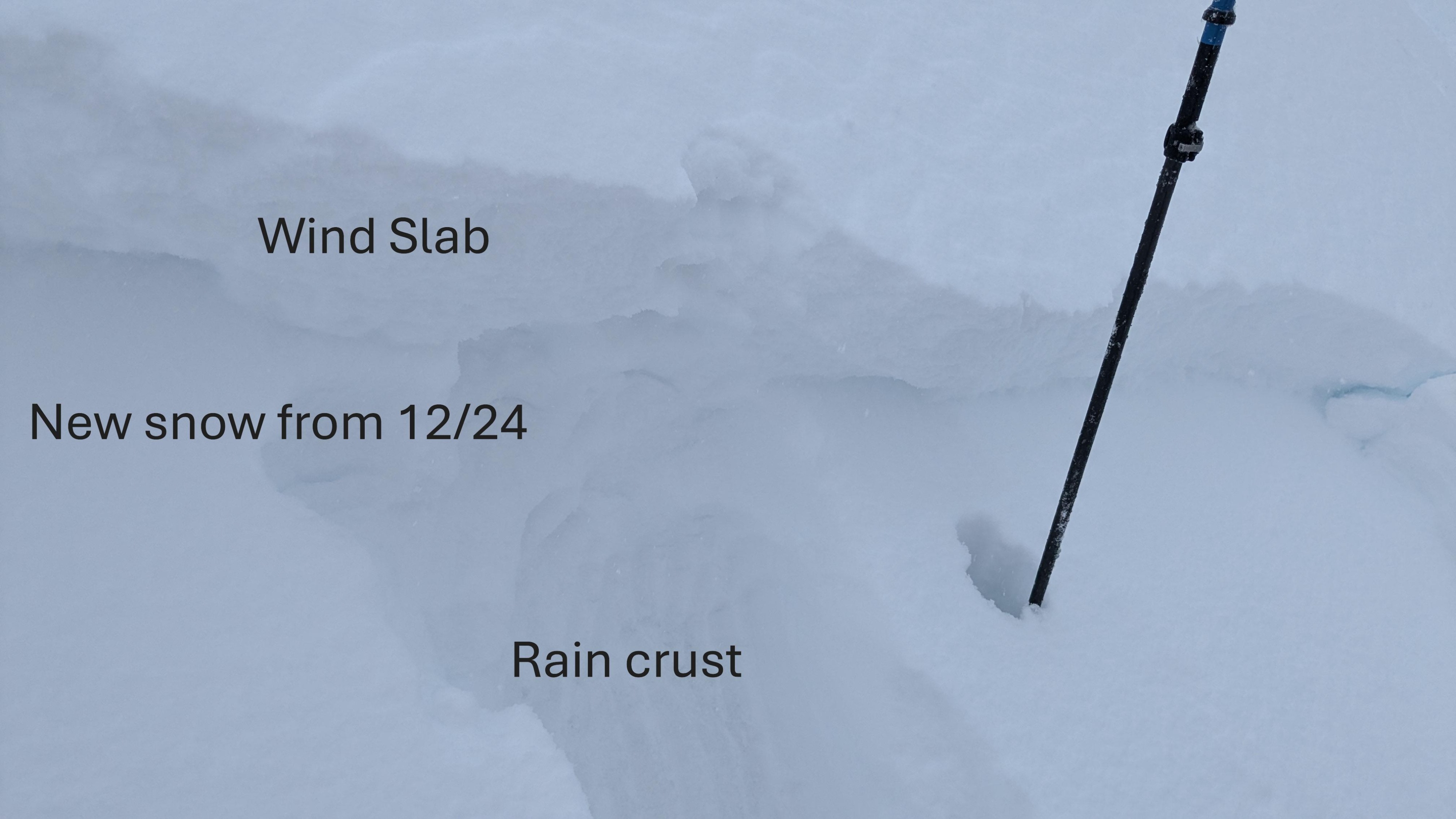
We toured on Andesite Peak this morning with snow level around 6,400'. There was about 2 inches of new snow from last night in this area. This 24 hr new snow sat on top of a very thin (2-3mm thick) rain crust that existed up to the top of Andesite at 8,200'. The upper snowpack layering was upside-down with denser new snow from last night and today on top of less dense recent storm snow from Dec 24.
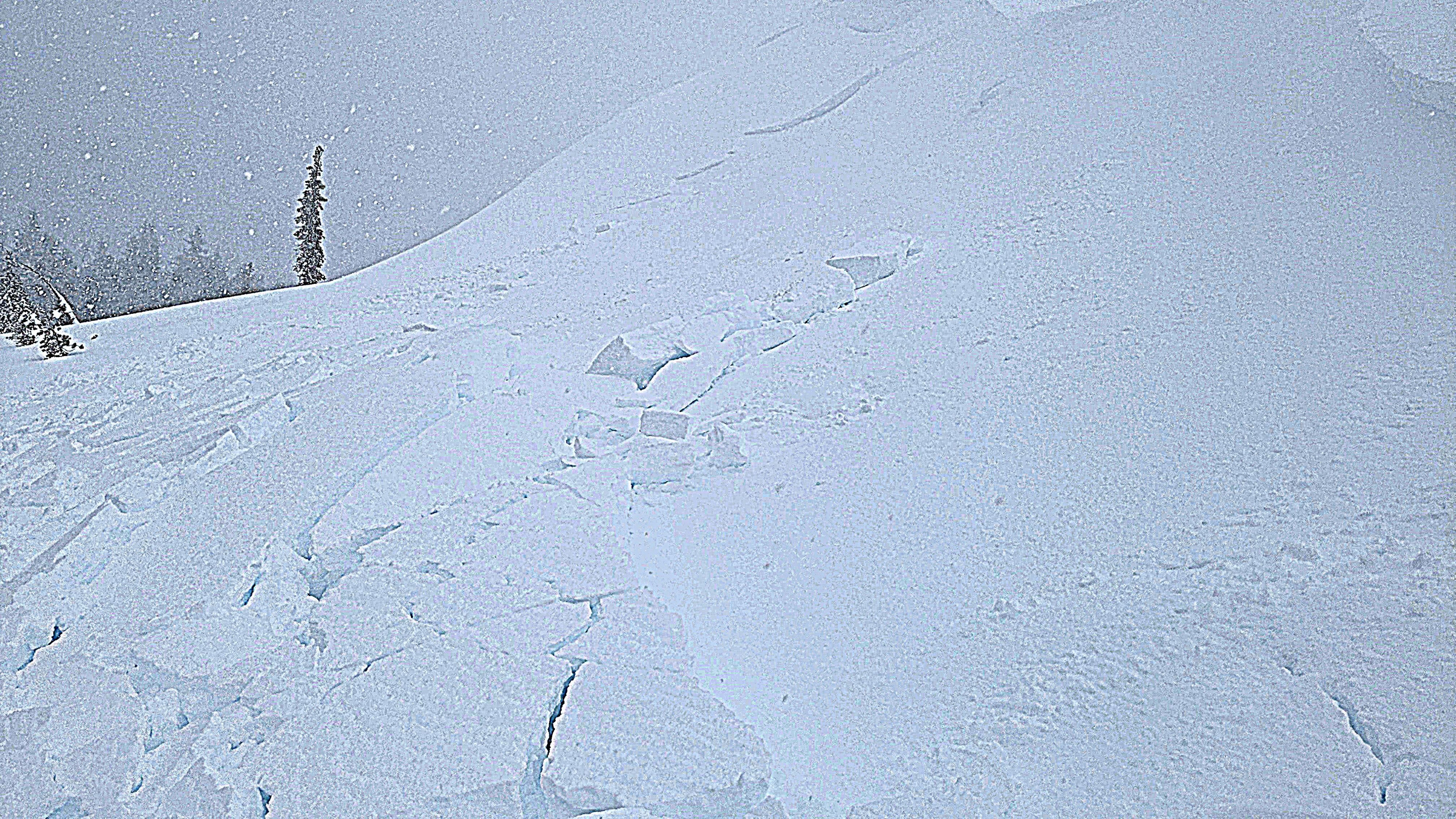
As we moved up into near treeline and above treeline terrain, wind drifting snow was prominent. One good ski kick at a small cornice was able to trigger a 6 to 12 inch thick wind slab on an ENE aspect test slope. Avalanche size was D1, but R4.5. The wind slab was 4F to 1F+ hard and sat on top of F+ hard recent storm snow from Dec 24. The wind slab failed at the old/new snow interface from the past 24 hours where there was a very notable density change.
Intentially triggered a size D1 wind slab avalanche on a corniced test slope. Crown ranged from 6 to 12 inches with R4.5 propagation. Signs of instability limited to wind loaded areas.
Weather
- Cloud Cover
- overcast
- Wind Loading
- moderate
- Rain Elevation
- 6400
- Recent Snowfall
- 5
- Snow Avail For Transport
- moderate amounts
Snowfall contined through this morning with accuulation rates at S1 or less.