
Quick report
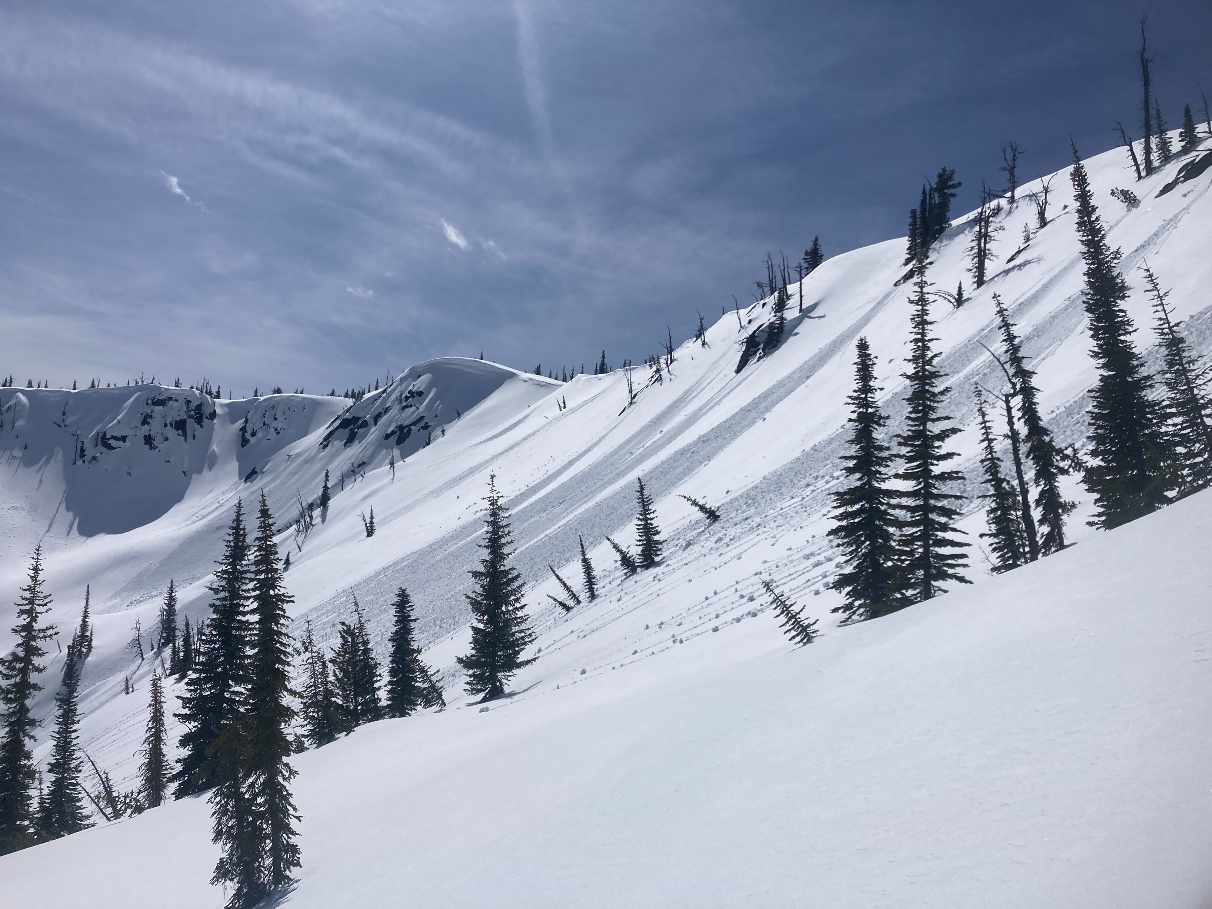
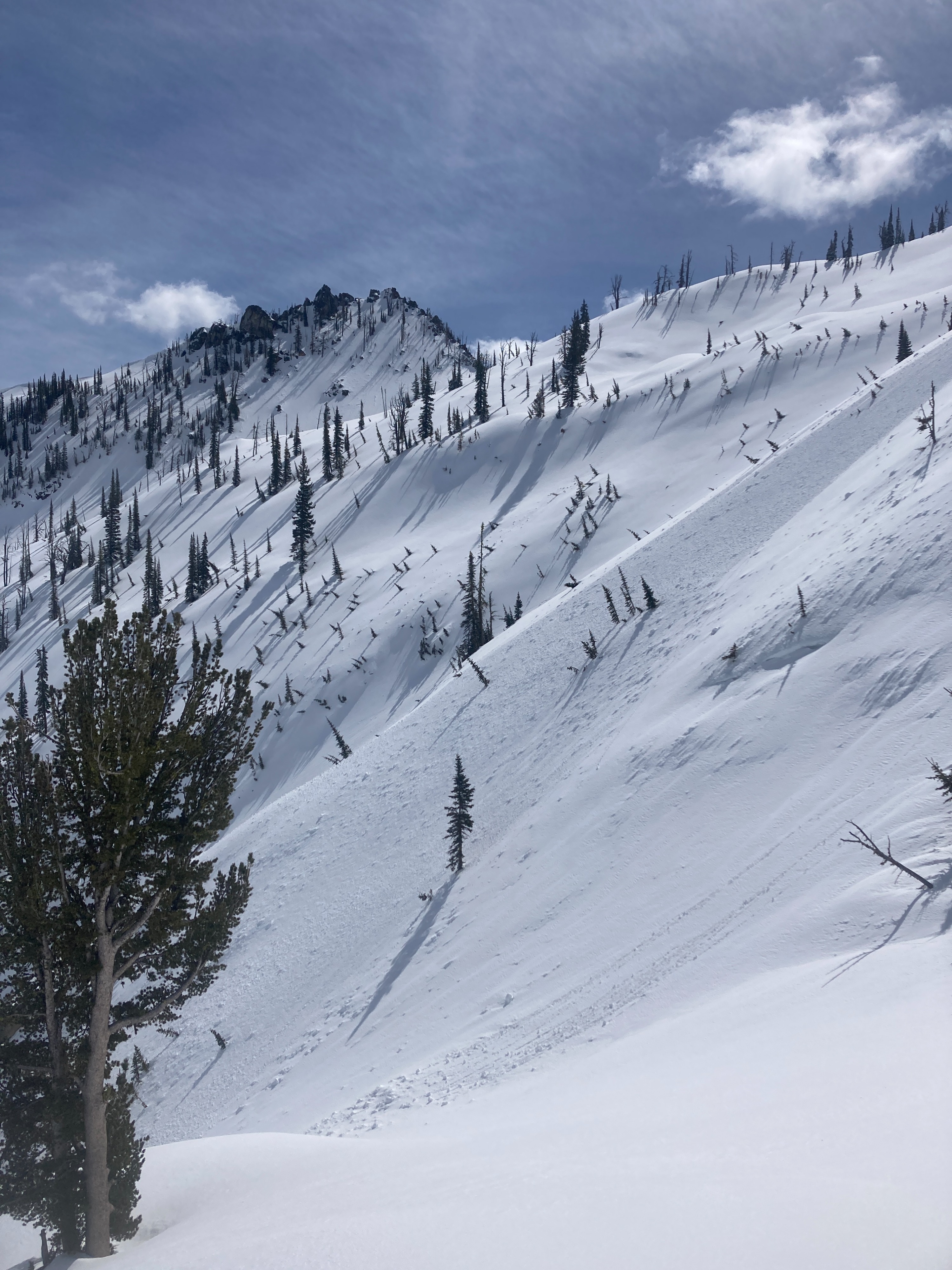
Wet loose avalanche activity will likely be increasing in size and distribution over the next few days. Melt water will likely be saturating deeper into the snowpack, causing larger and more destructive wet loose avalanches. Steep, south aspects and lower elevation has been intermittently saturated over the last two weeks. This trend will continue into this weekend.
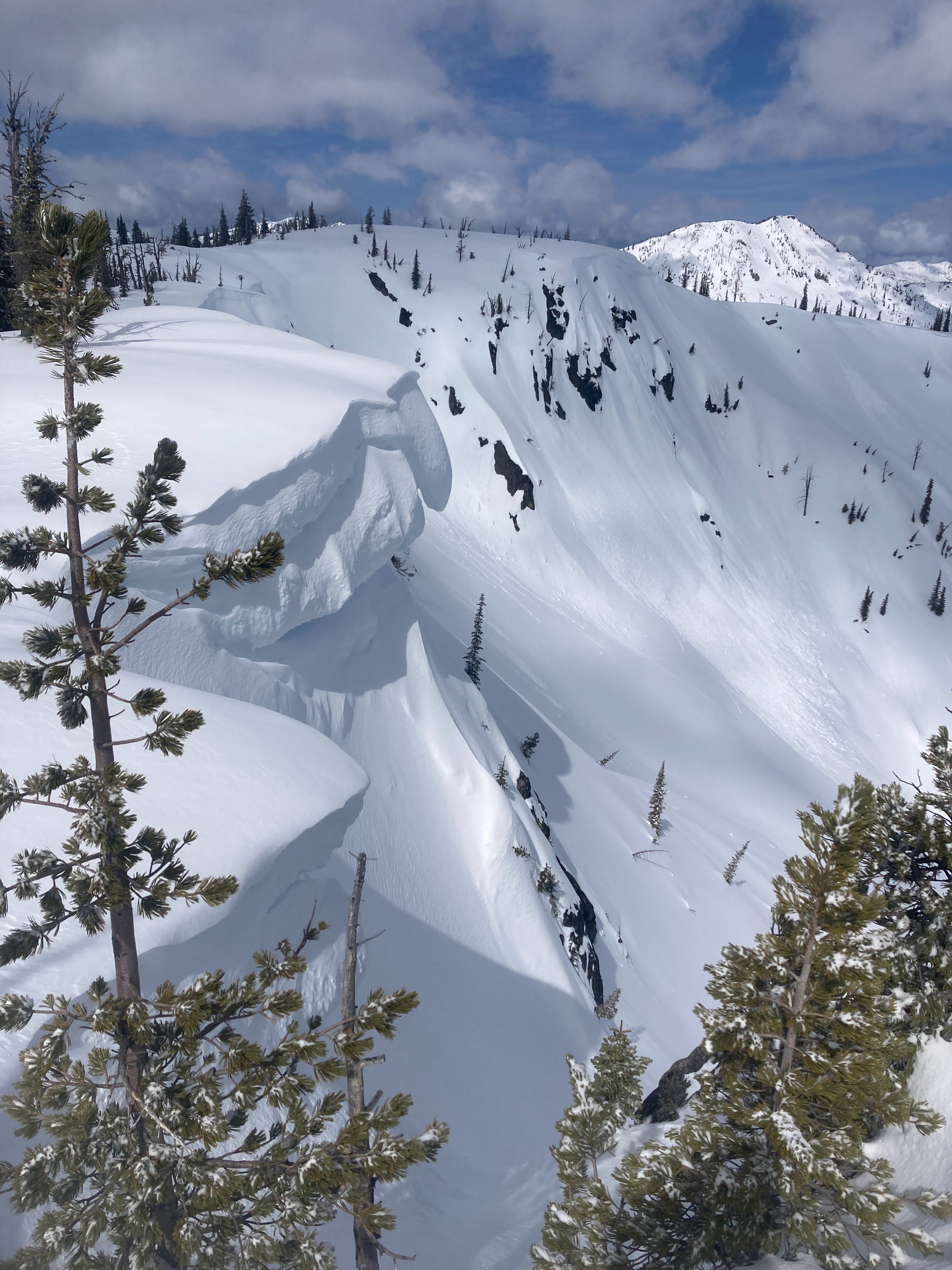
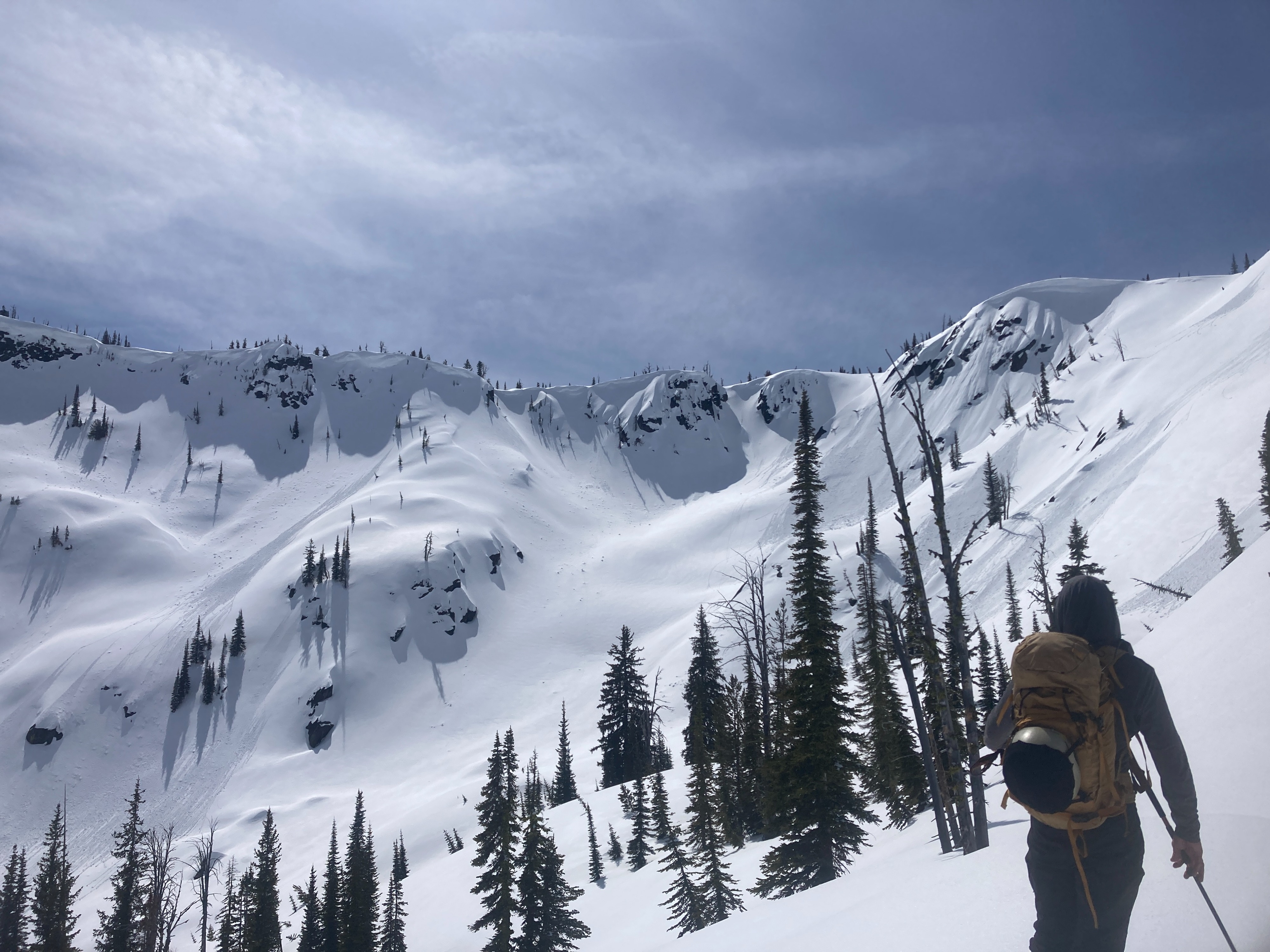
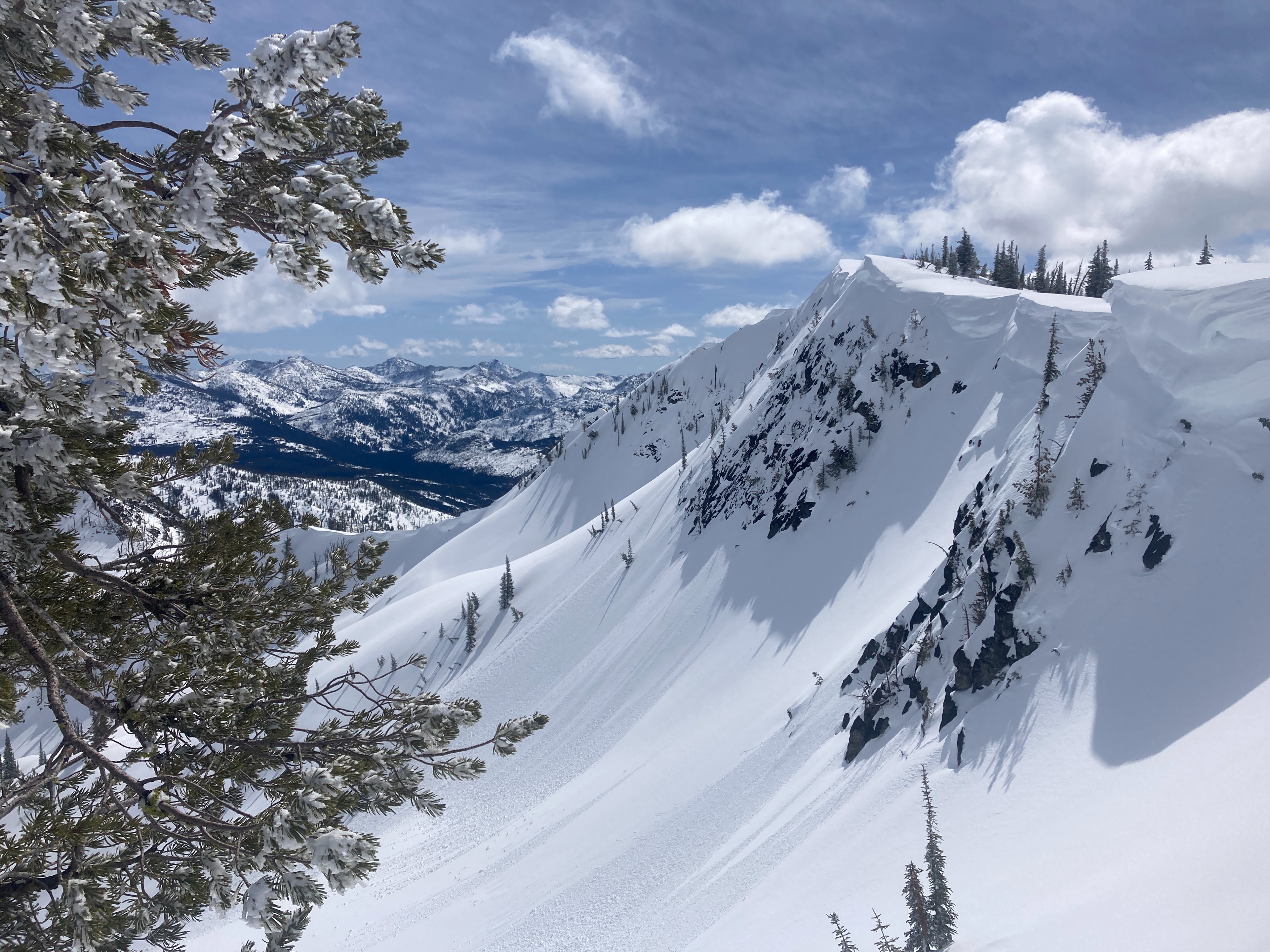
We observed older, large wet loose avalanches from last weekend and recent, smaller wet loose avalanches from this morning.Weather
- Cloud Cover
- few
- Wind Loading
- none
- Recent Snowfall
- 5-10
- Snow Avail For Transport
- none
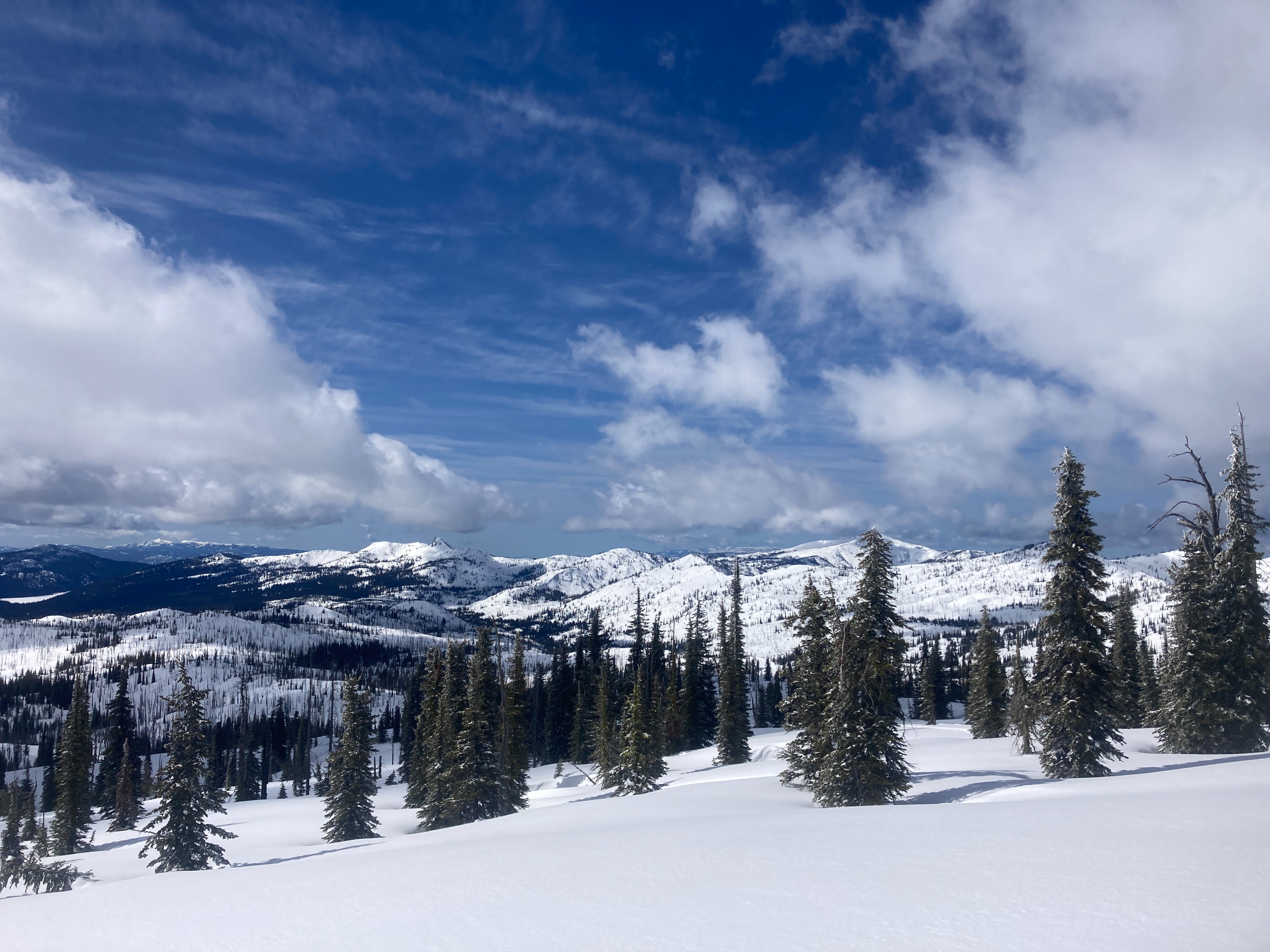
Warm and sunny spring day. Clear skies, with a few clouds for most of the AM. Winds were light out of the W/SW. Winds kept temperatures cool above 8000'. Full spring solar radiation for most of the day. High clouds built in for part of the afternoon.
Snowpack
We went out looking for wet snow saturation in the upper snowpack. We dug four quick pits today, three of which were on solar aspects. Lower elevation snowpack is undergoing an isothermal transition with very wet, soft snow within the upper 2-3 feet. South aspects near 8000' still had dry snow below the 03/28 crust (1.5 ft. down). The 15-25 cm was becoming moist around mid-day. We looked at one north aspect around 7500'. The upper 15-25 cm was moist early afternoon, with drier snow from last week's stom, all sitting atop the stout 03/28 crust complex. One more south aspect early afternoon, near 8000'. New snow becoming very wet atop recent MF crust. Wet snow with broken down crusts about 1.5 feet down from the surface.
Avalanche
Recent avalanche activity was confined to small, (point release) wet and dry loose avalanches within the recent snow.