
Quick report
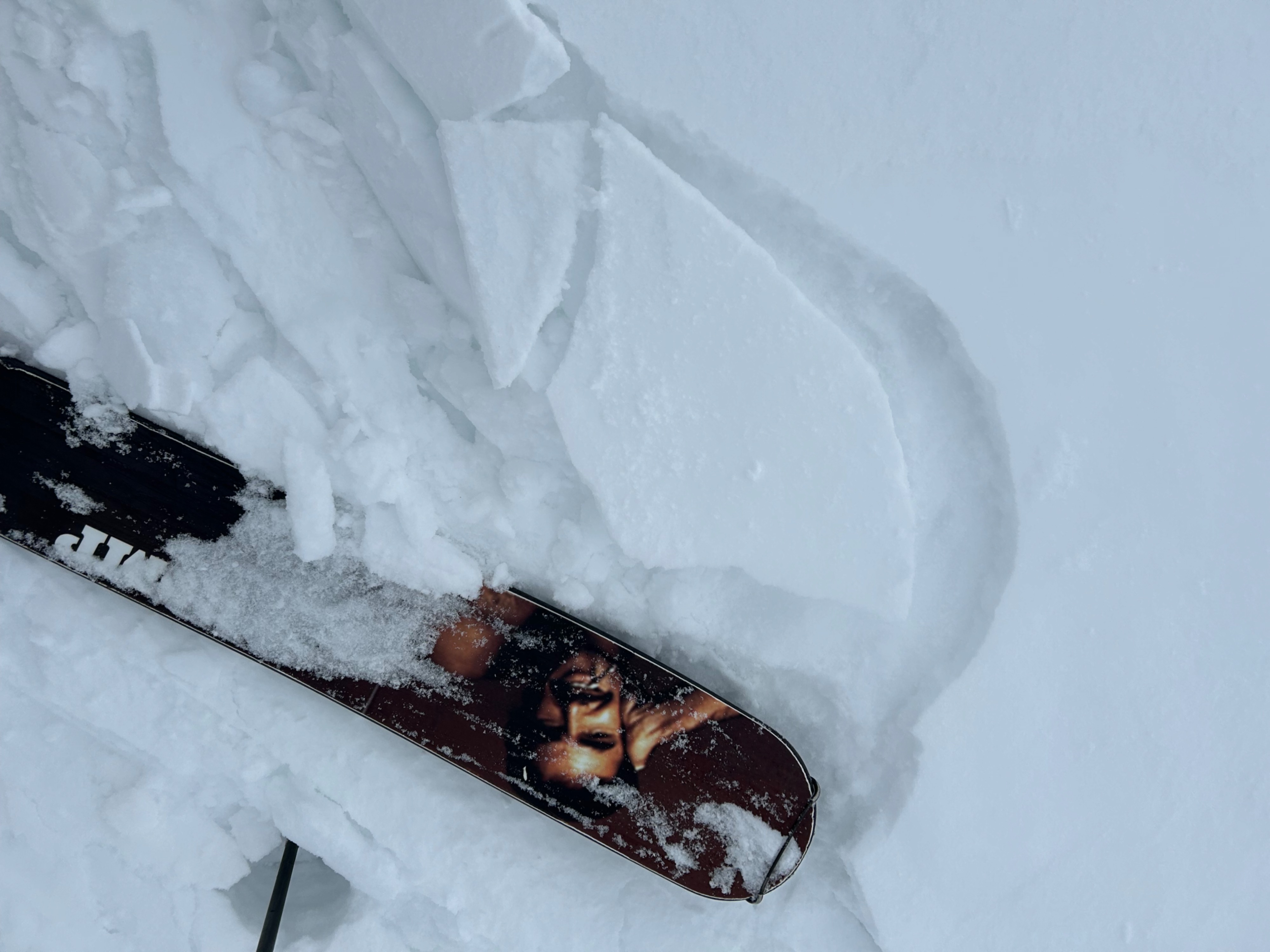
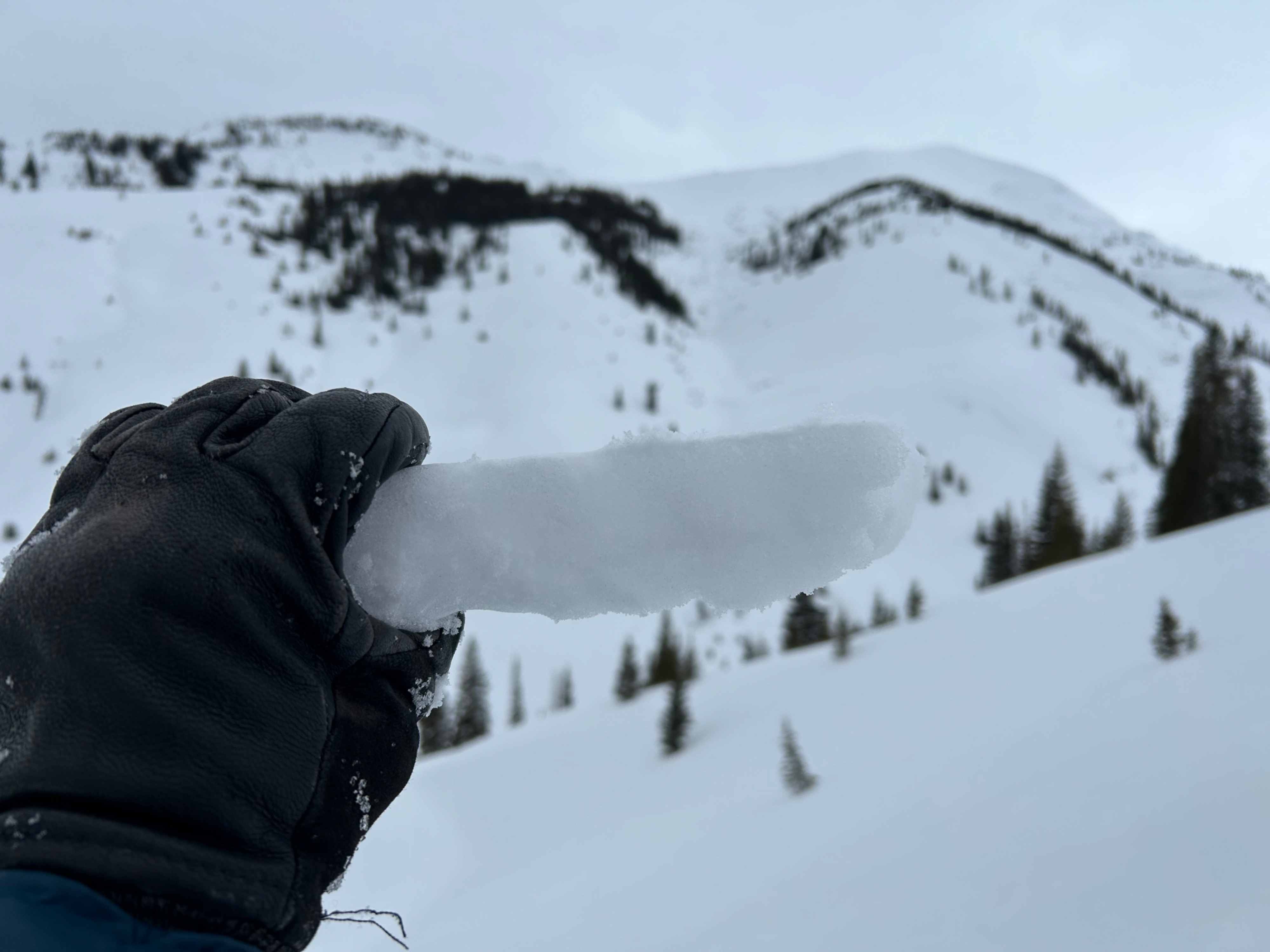
An inch or two of new snow wasn't enough to change conditions or form any new avalanche problems where we traveled. Today's goal was to observe the current storm interface (2/26 layer) as it was getting buried below treeline. Like our previous February weak layers, this one also looks like it will be more problematic on the north half of the compass (specifically WNW to E), but it is not nearly as well-developed or well-preserved as the mid and early-February weak layers. Winds were drifting the snow surface around and beating up the small-grained (<1mm) near surface facets that formed over the past few days on northerlies. That layer is preserved below a couple of inches of new snow in wind-protected terrain, which was rare where we were traveling but probably more common in other more sheltered areas. I suspect the most problematic setup is on the shoulder aspects (WNW and E) where melt-freeze crusts get thinner and softer and are capping and preserving the small-grained facets below. Rounding the corner to more southerly terrain, the crusts are thick and supportive and would require a very big loading event to collapse. I didn't see evidence of facets above the crust, and the warm, dense new snow appeared to be bonding fine with the crust today.
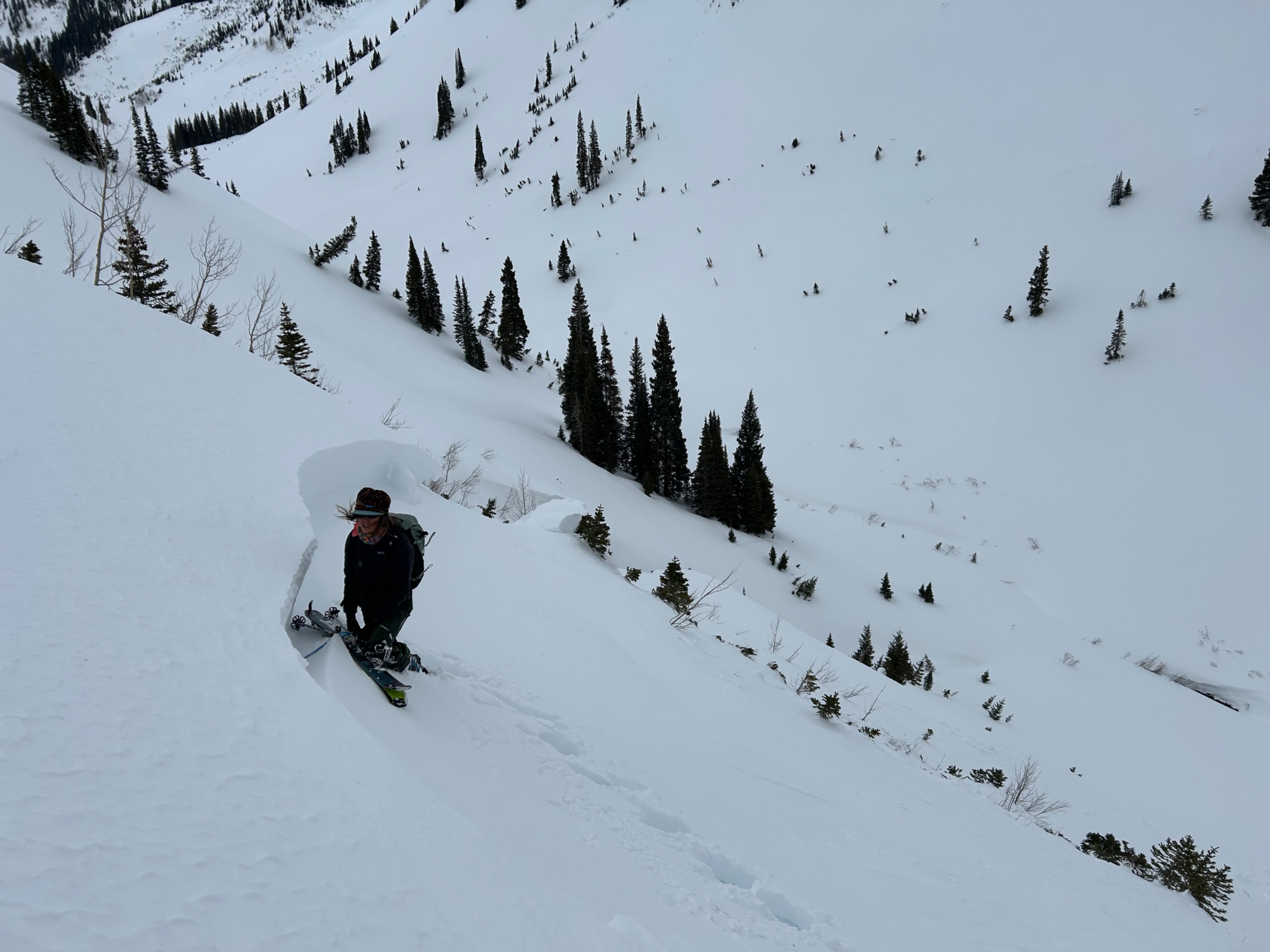
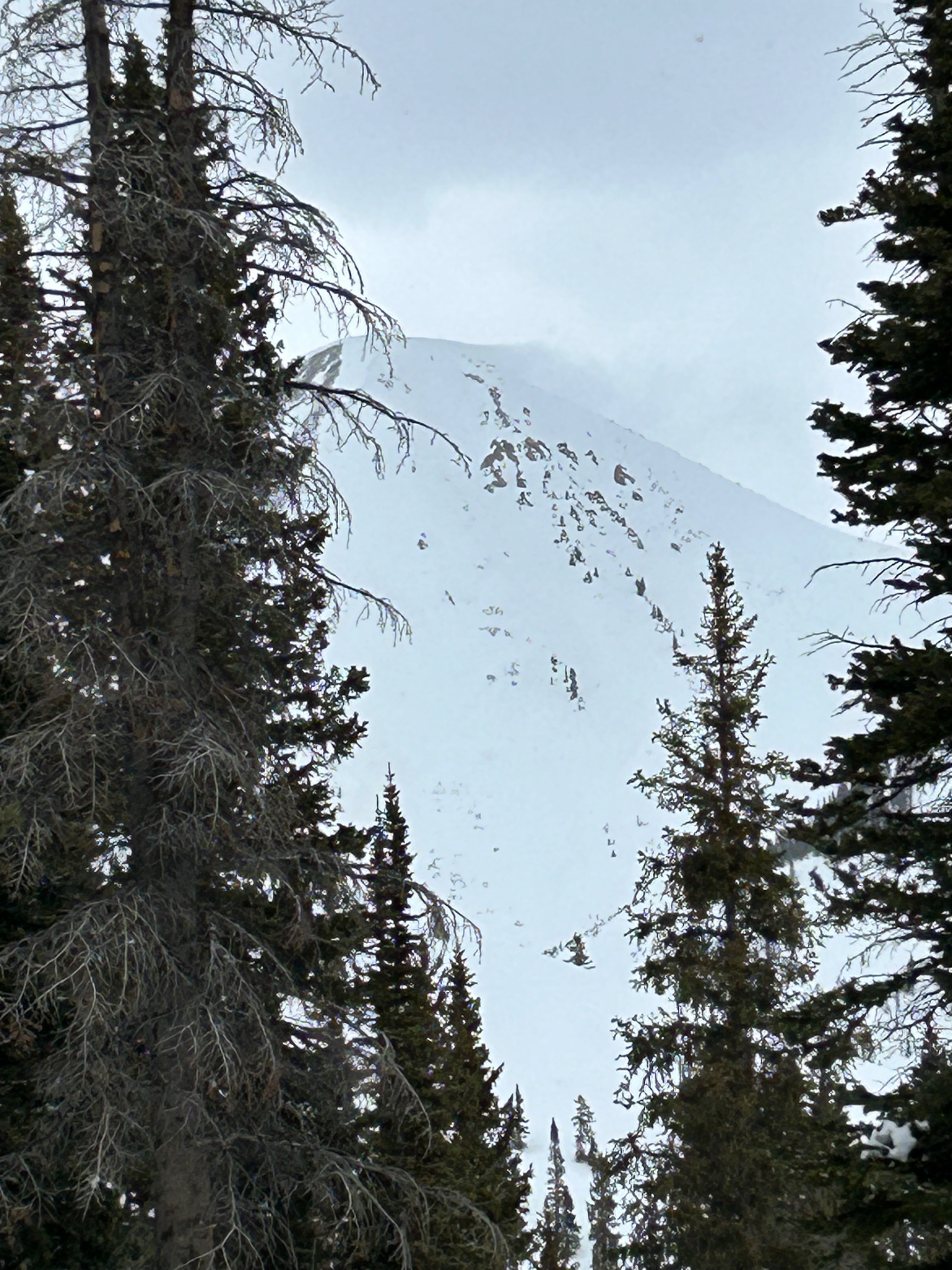
No signs of instability underfoot; one persistent slab avalanche that was probably human-triggered sometime in the past 3 days.Weather
- Air Temp
- Mild
- Cloud Cover
- overcast
- Wind Loading
- light
- Recent Snowfall
- 4
- Snow Avail For Transport
- small smounts
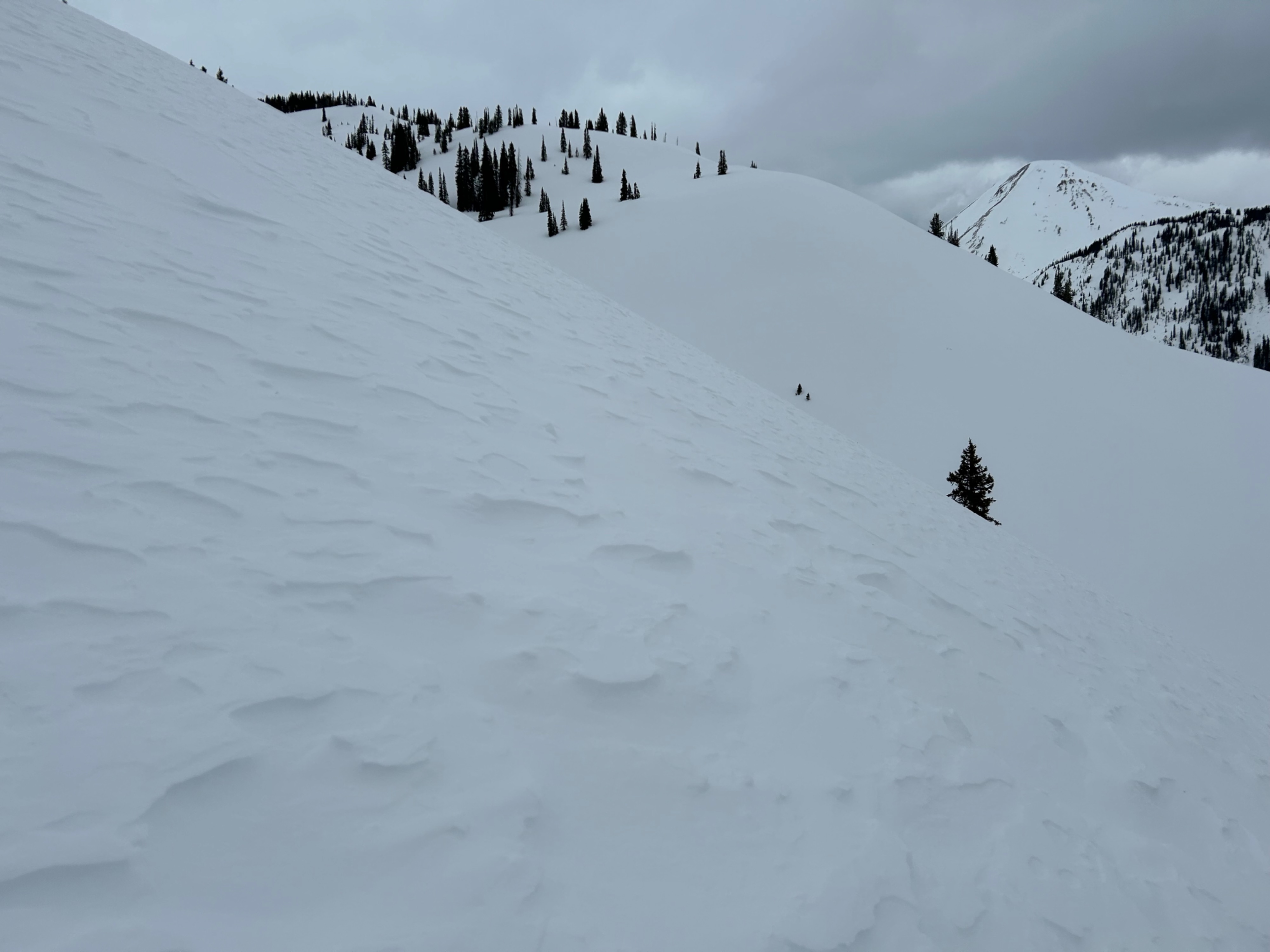
Warm windy day, only a few snow flurries during daylight hours. Occasional strong gusts mixing down to below treeline would blow and swirl snow around without active loading anywhere. Above treeline, there was steady flagging throughout the day off of peaks with large fetches. Most of the transport appeared to be blowing off into the atmosphere; I'm sure there was loading happening somewhere though.
Snowpack
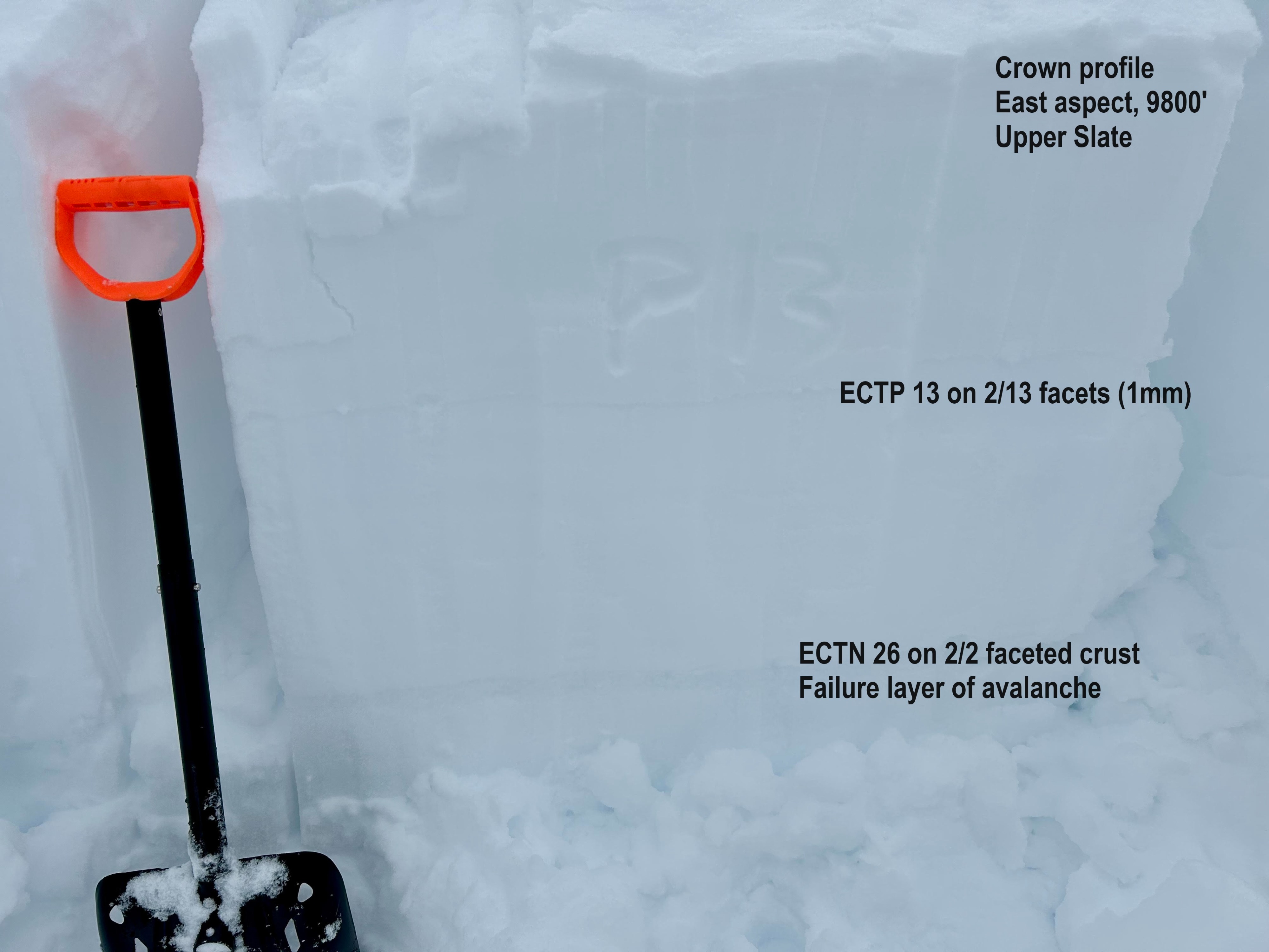
A quick crown profile on an east aspect below treeline produced non-propagating results (ECTN26) on the failure layer of the avalanche (2/2 faceted crust), and propagating results on the mid February facets about a foot deep (2/13 facets).
Avalanche
- Size
- D2 R2
- Type
- HS
- Aspect
- E
- Elevation
- 9800 ft
Ran sometime after the last storm and before today's snowfall, failure date could be anytime between 2/23 and 2/25 . Tracks nearby so I'm guessing it was remotely triggered by not sure. Avalanche was large enough to snap a few small trees.