
Quick report
Objective: Our goal for the day was to examine snow coverage (including wind impacts to snow distribution in the inner basin), snow surface types, and the extent of faceting on East and North-facing slopes.
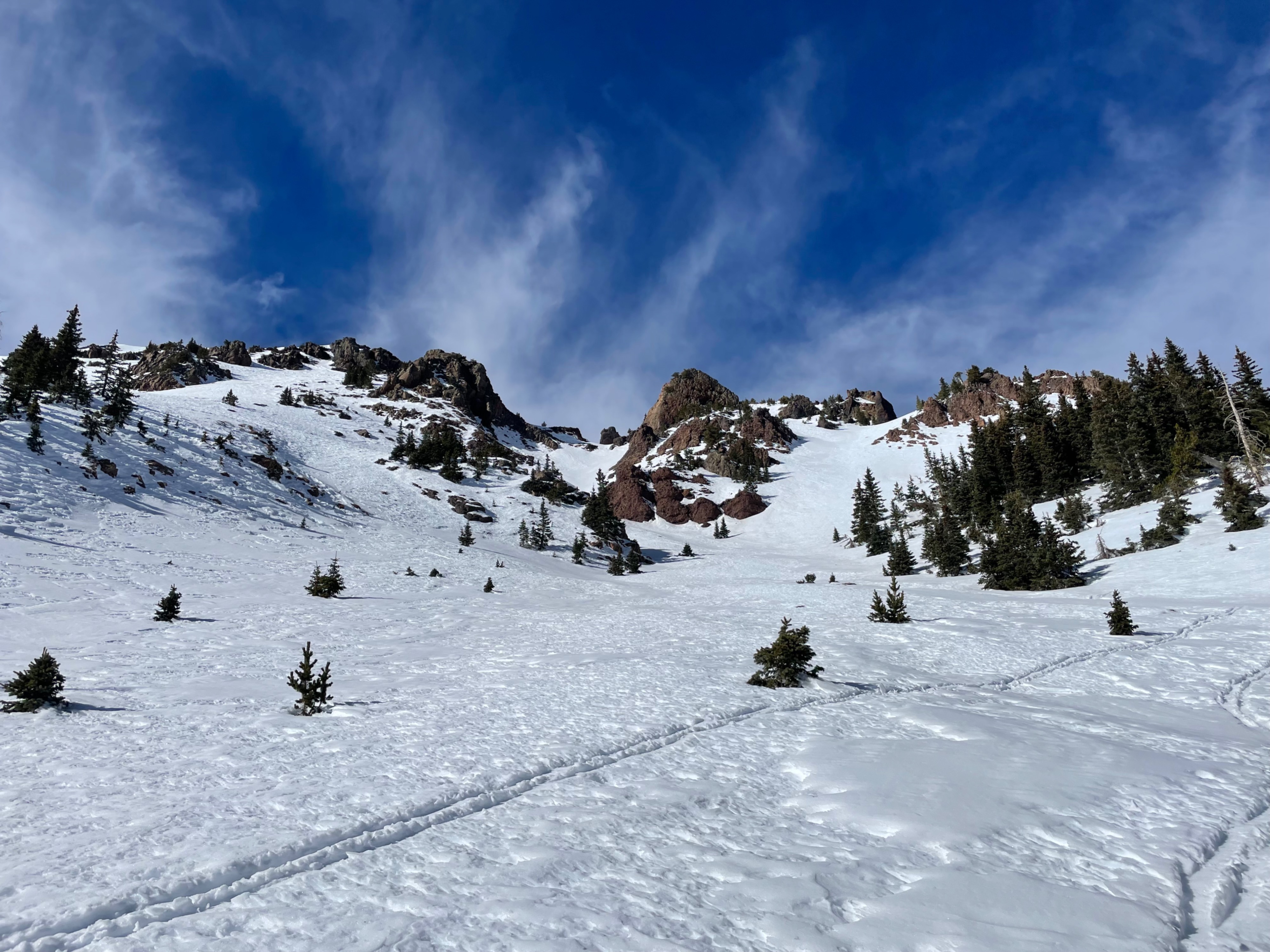
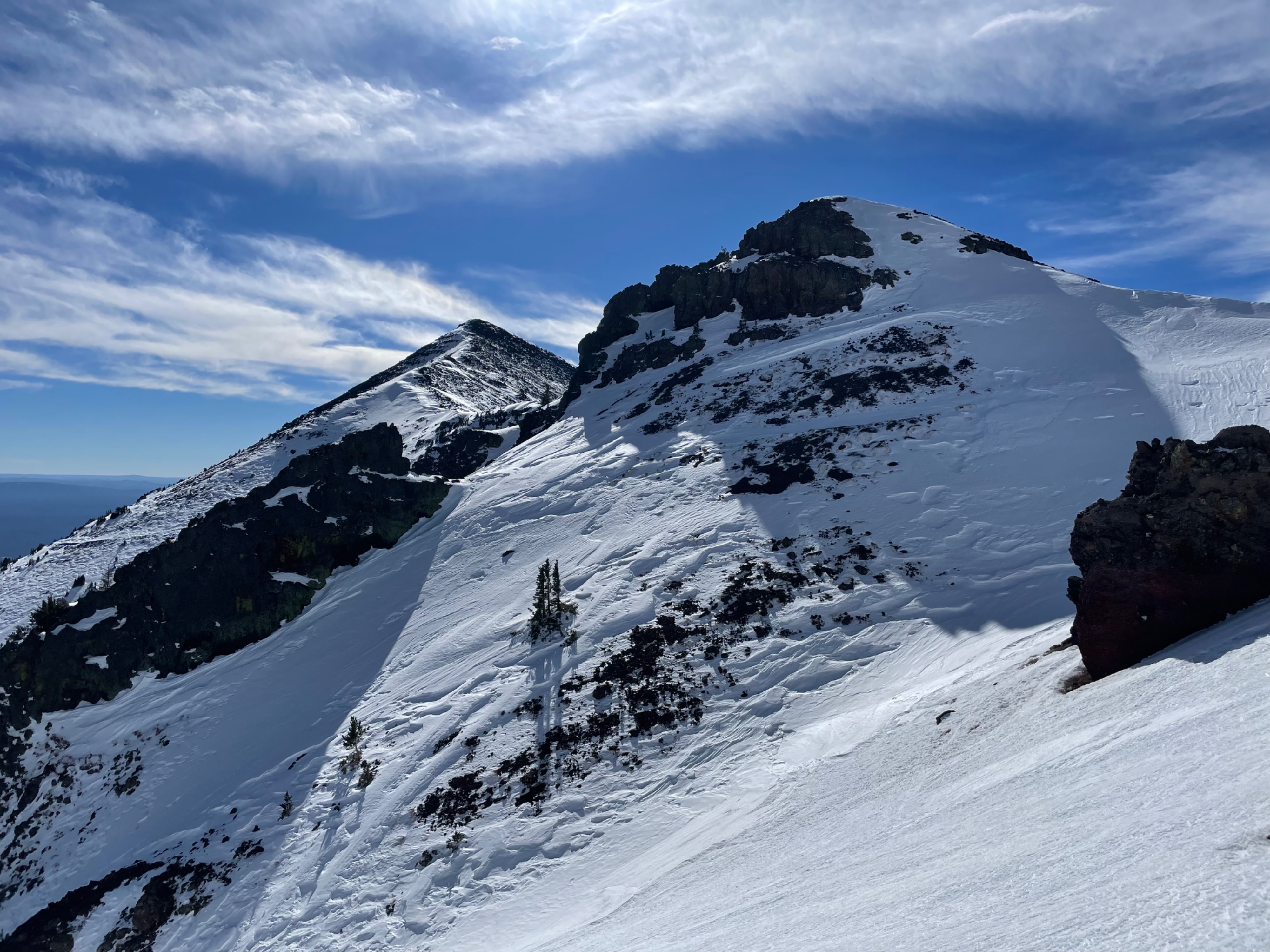
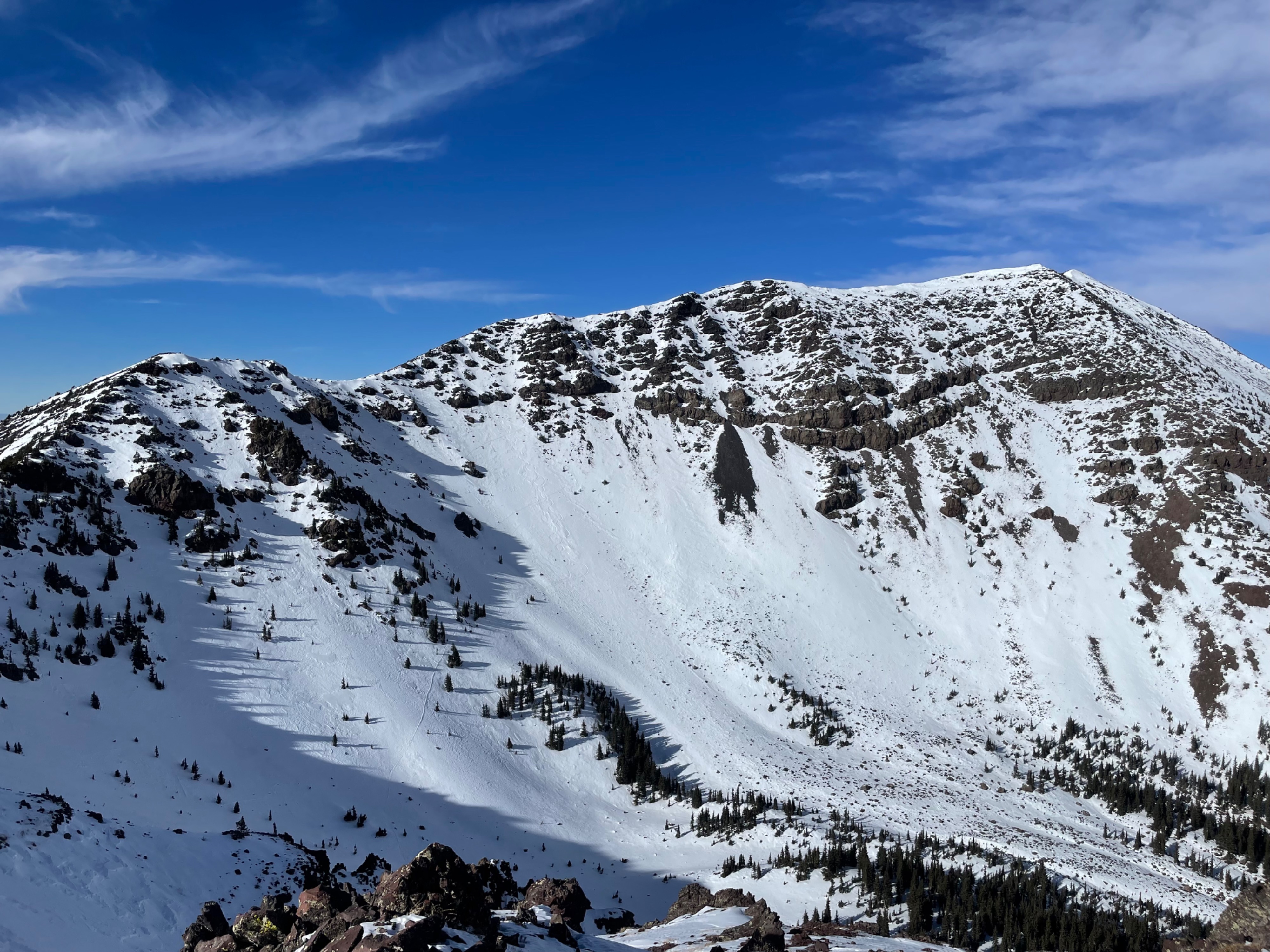
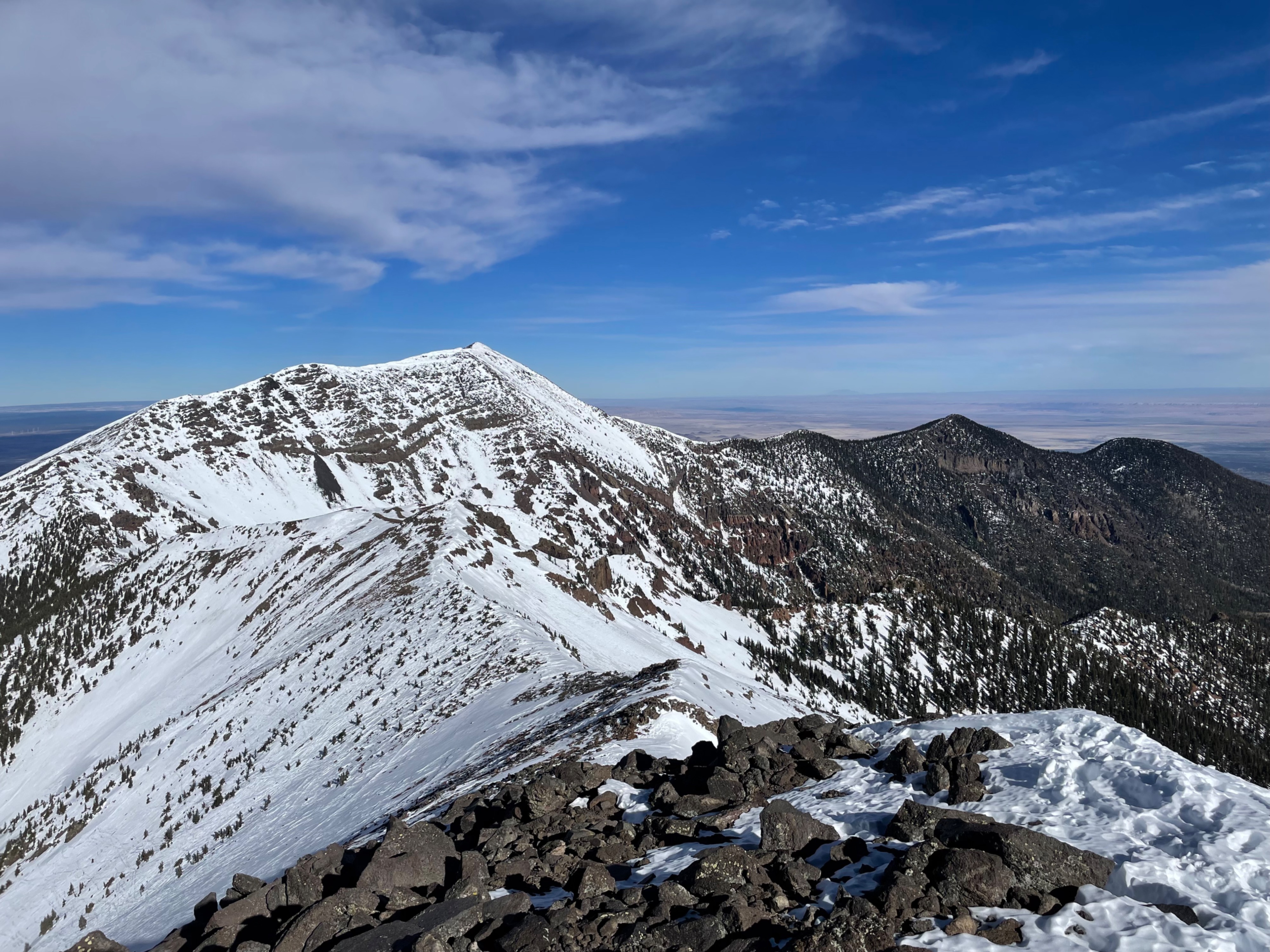
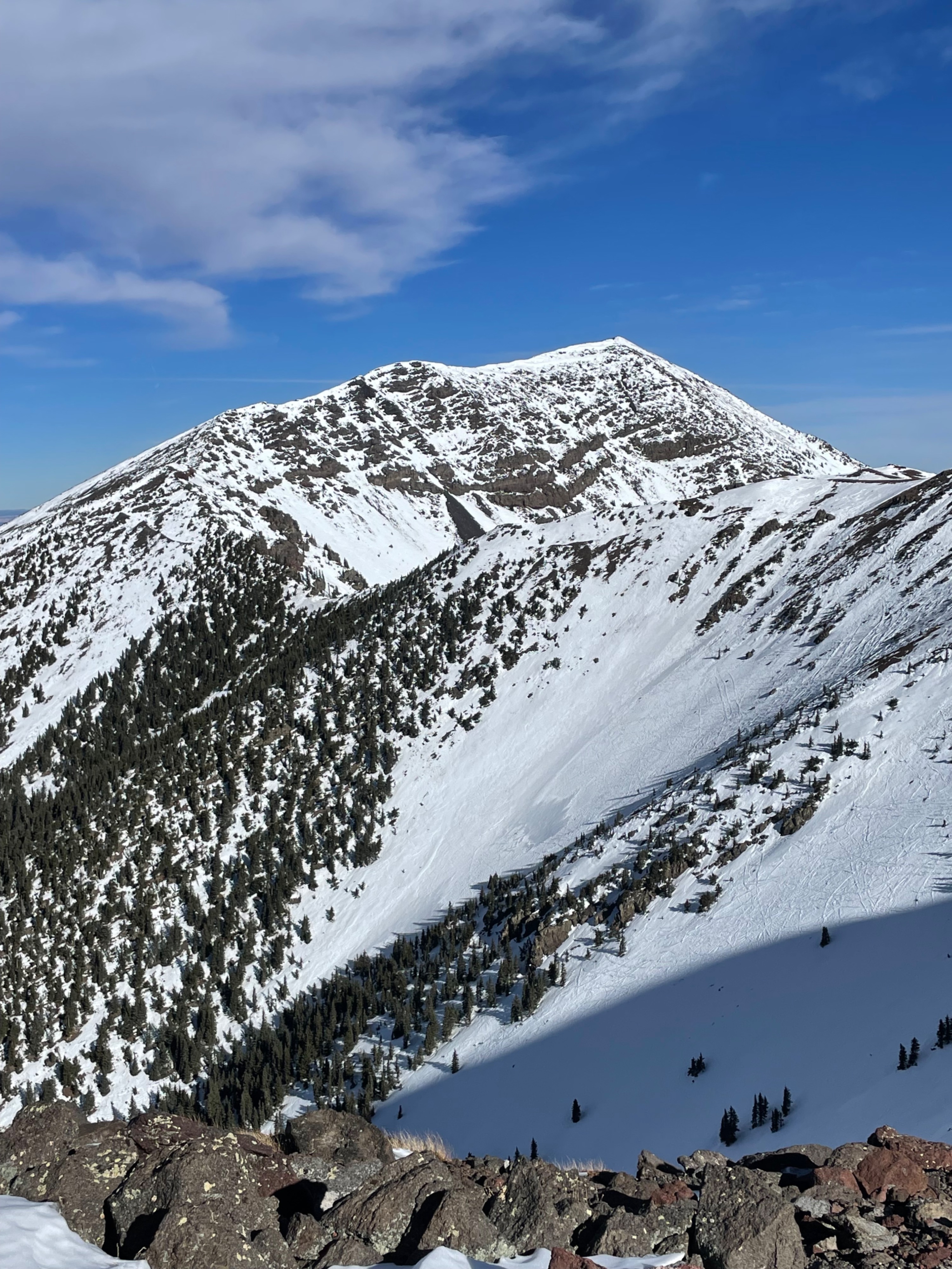
General Summary: Wind and the current heat wave have significantly redistributed and melted snow in the inner basin zone. Some areas are stripped, some areas have deeper wind-loaded snow, and south-facing slopes are very sun-affected--shallow and in some cases melted out to ground. All aspects and elevations are highly wind or sun hardened, but some soft snow is randomly distributed throughout the area. Snowpack in the East and North facing slopes are highly faceted. Steeper southeast-facing slopes softened and even corned up by 1:00 pm, and southwest-facing slopes softened by 2:00 pm.
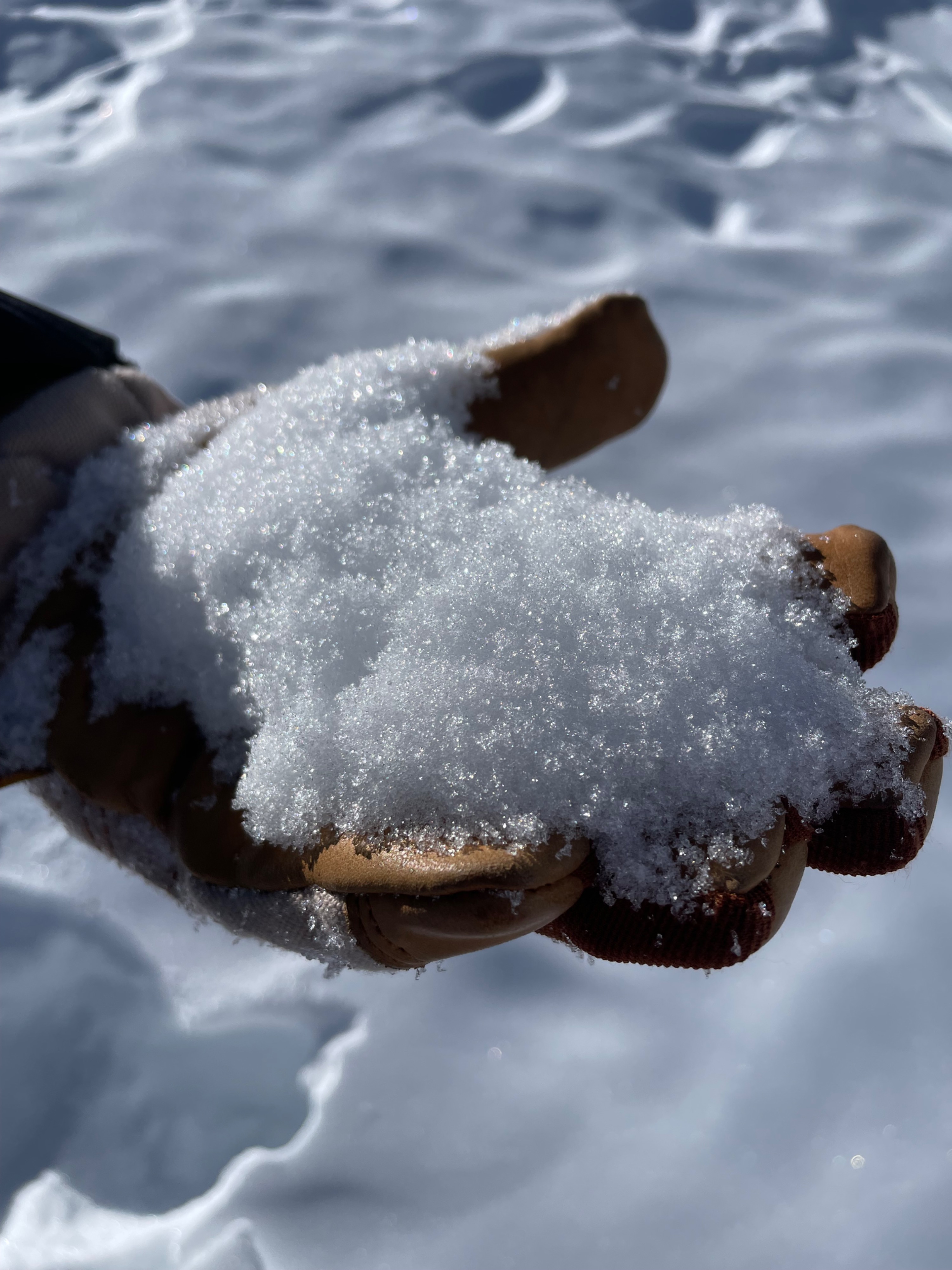
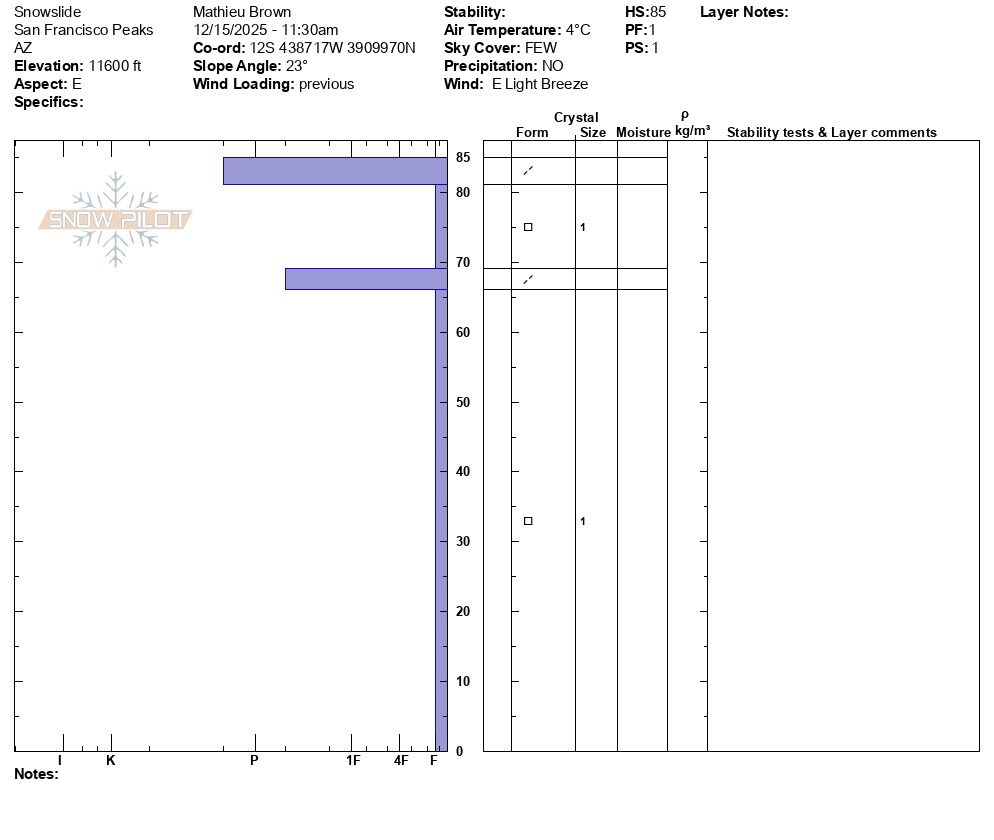
Snowpack: Most slopes in the inner basin are highly wind and sun-affected. A hand pit on an east-facing slope at about 11,400 ft. showed a pencil plus wind-hardened surface ranging from 3-5 cms in thickness. Snowdepth was 80-90 cms in this location. Below it was 10-15 cms of 1 mm facets resting on top a pencil-hard layer of combined wind and sun crust of approximately 3cms in thickness. From here, it was 1 mm fist hardness facets all the way to ground. The basal facets were dry and not progressively larger in size. The two layers and corresponding wind/sun crust layers likely represent our two signficant storm cycles from early in the season. Another handpit on a north-facing slope at approximately 12,000 ft. showed similar structure and facets. While sun exposed faces were softening the temperatures nor solar insulation were high enough to prompt any conern for wet loose avalanches.
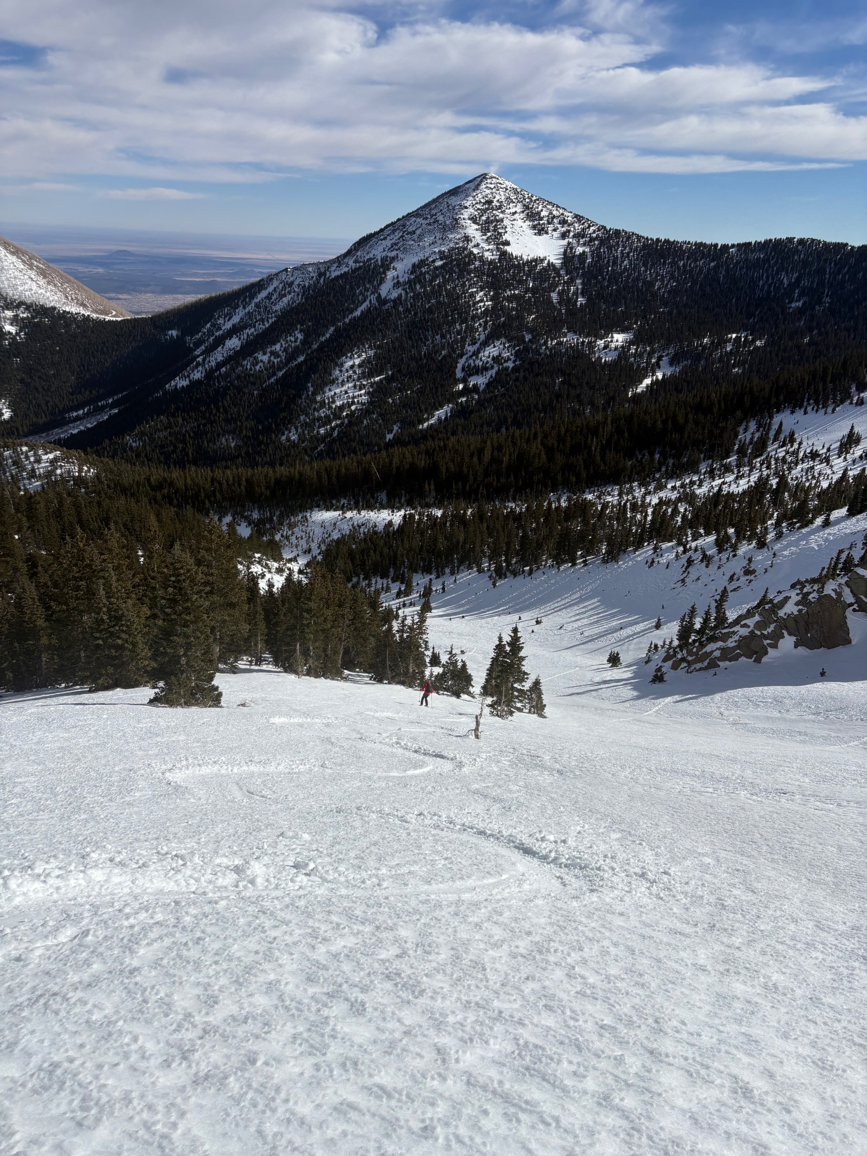
Surfaces were generally hard and slick, but not as icy as expected. Anti-tracks from prior skiers are riders are present throughout the wind stripped areas. Slopes exposed to the sun began to soften around noon and were corning up by early afternoon. (That's right . . . December corn, so weird). The current surface may make for an excellent bed surface come our next storm, and the facet garden under this wind crust is well developed. It may be that the wind surface is capping the snowpack and holding in moisture, contributing to facet development. In terms of future storms, the wind-compacted snow on the surface will likely act as a huge bridge providing strength to the snowpack and acting as a bit of a barrier between the soft sugary facets and the future load. If this wind board softens or warms, its strength will decrease.
Snow depths on east-facing slopes ranged from 130 cms in snow catchment zones to 90 cms in deposition zones to just 20-30 cms in scour and melt zones. There are plenty of rocks and areas of bare ground. Snowpack below treeline was shallow, and most south-facing slopes were very thin.
Conditions: The snow was generally quite supportive which allowed for turns in most locations. Textured snow surfaces were surprisingly soft, but due to the unevenness making turns in these areas was difficult. Smooth, shiny, and reflective areas were pencil to knife hard, but not as icy as expected. However any skinning travel on these slopes in early morning or late afternoon conditions would require ski/board cramps and boot crampons would be necessary for steeper slopes. Both textured and smoothed surfaces softened and corned up. North-facing slopes off of core ridge area were highly wind-scoured, had shallow snowpacks, and wind-affected surfaces. They did not look appealing. Obstacles remain an issue and most lines are determined by snow surface and coverage. Obstacles continue to be the primary hazard. Slow and cautious travel is recommended.
Weather
- Air Temp
- 38
- Cloud Cover
- few
- Wind Loading
- previous
- Recent Snowfall
- 0
- Snow Avail For Transport
- none
Mostly sunny skies, winds calm to light out of the east, air temperatures upper 30s to lower 40s. Generally crisp, hot at times in direct sun, winds gusting to moderate on high elevation ridgelines. High microclimate variability--a little bit of everything.