

Quick report
- Cracking
- specific
Cooler temperatures, moderate to heavy snowfall, and steady winds made it feel more like late-winter versus mid-spring. The new snow was reactive with ski pressure and with continued accumulations, would be a growing concern near and above the treeline. The old snow surface below today's snowfall at lower elevations remain punchy and suspect - especially in steeper, rockier terrain. If traveling in the mountains, be ready for mixed bag conditions and managing multiple flavors of avalanche problems.
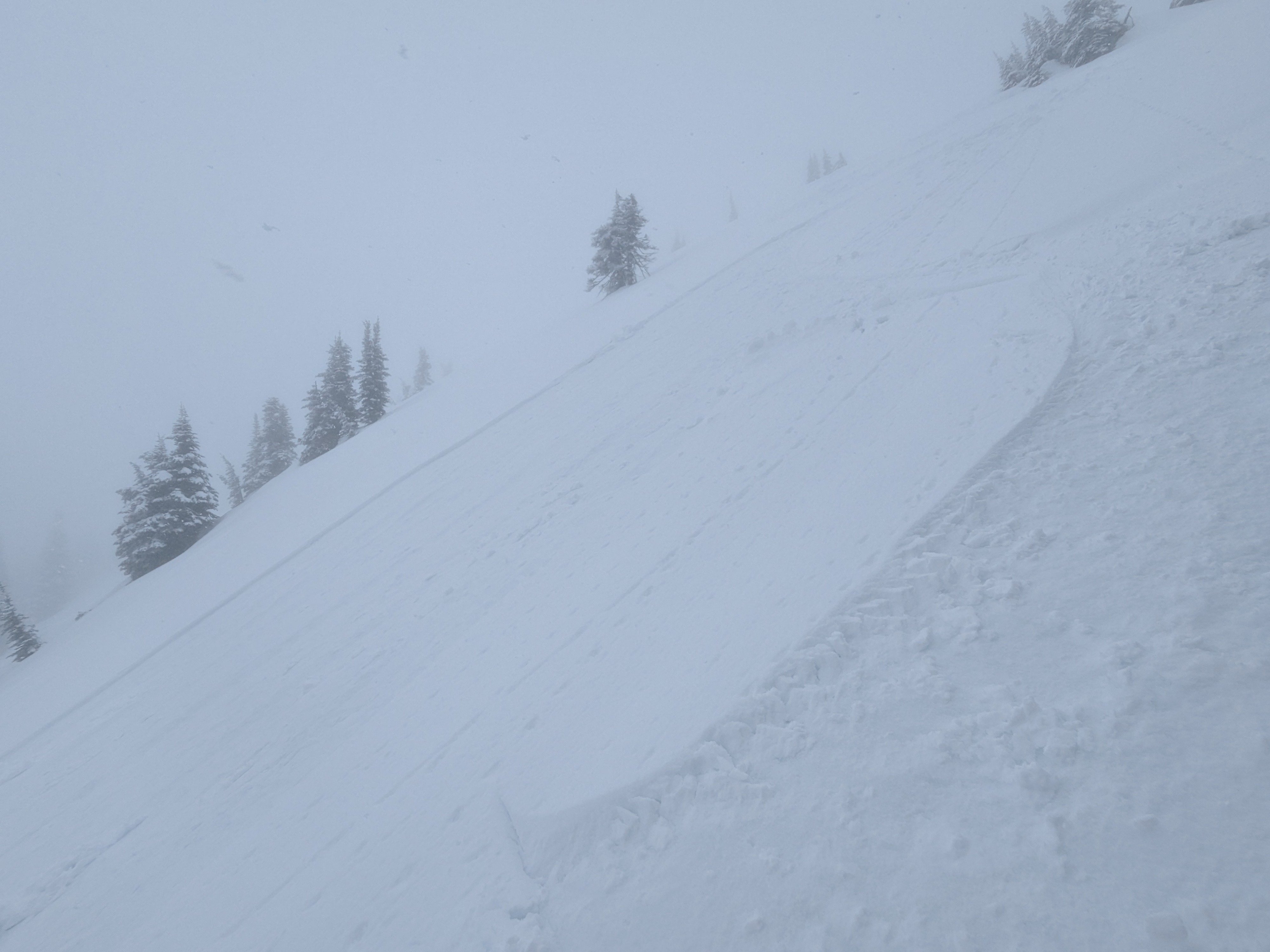
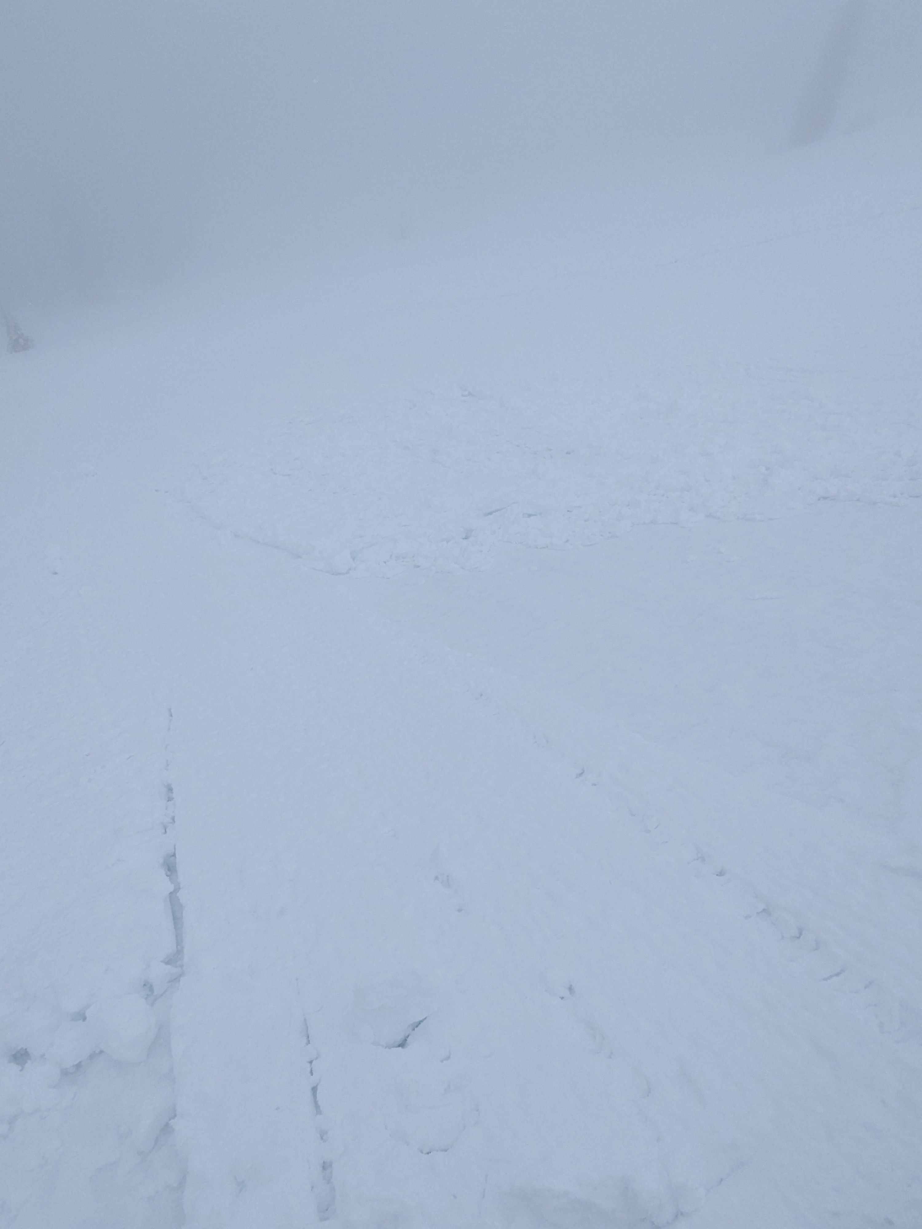
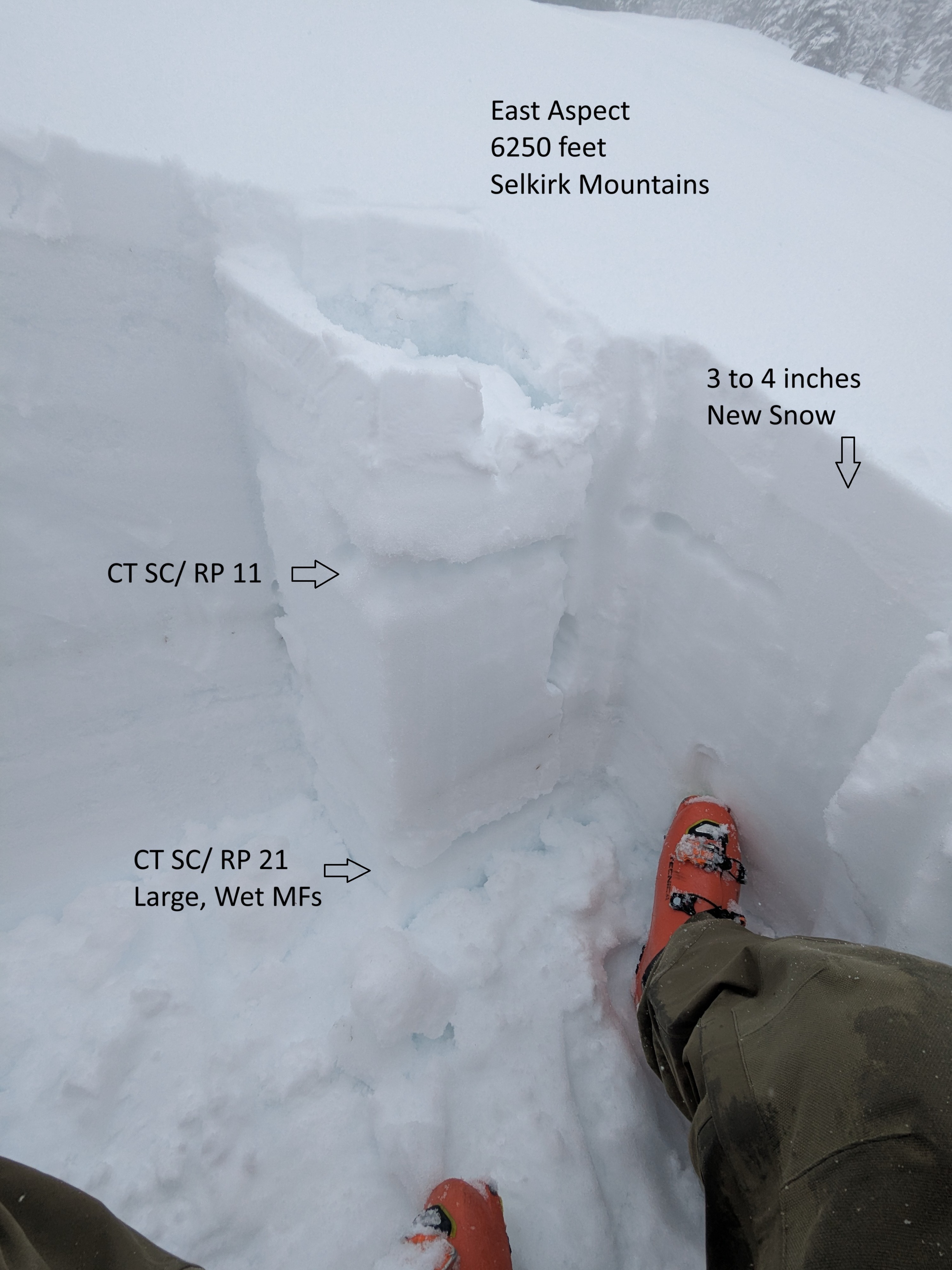
We could easily sheet the new snow above the old refrozen but breakable surface, 3 to 4 inches deep on leeward-facing terrain between 5,500 and 6,500 feet, and generally size 1.5.Weather
- Cloud Cover
- obscured
- Wind Loading
- light
- Rain Elevation
- 4969
- Recent Snowfall
- 7 to 10
- Snow Avail For Transport
- small smounts
Precipitation intensity at the snow line influenced precipitation type - heavy = snow, light = snow/ rain mix. Moderate rain below the snow line. Snowfall ranged S2 to 2+.
Snowpack
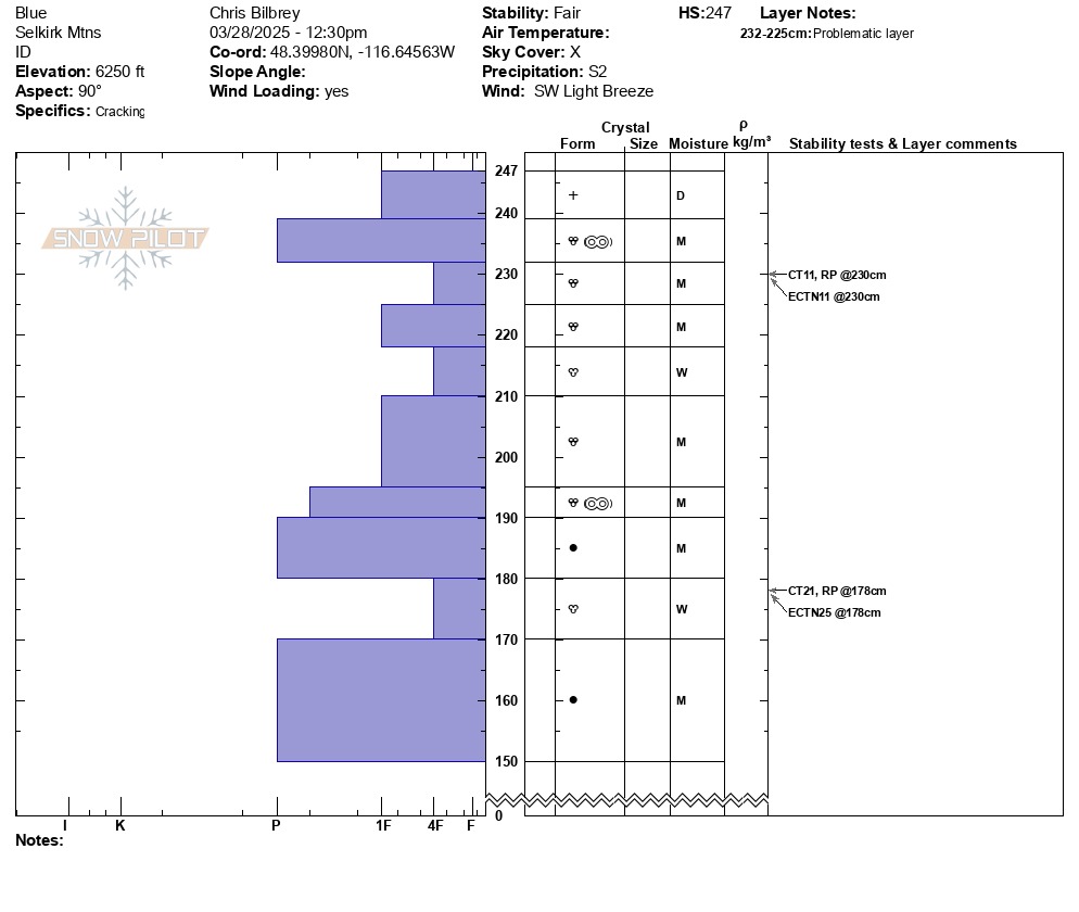
The upper snowpack is still pretty rotten where significant water pooling occurred from rainfall on March 24 and 25, then several days of non-freezing conditions. Boot penetration was generally boot top, even where the old snow surface was firm to pole probing and supportive to skis. 4F hardness layers of weak, moist to wet grains are sandwiched between harder layers and crust within the realm of rider triggering. Each one failed with varying fracture character and force, and also popped clean with an easy shovel pry. The lowest layer of concern (approx. 2 to 3 feet deep) still has liquid water visible blurring individual grain bonds. Higher elevations where below freezing temperatures have been present longer, the snowpack there is transitioning faster toward locking up, but still needs more time.
Avalanche
- Size
- D1.5
- Type
- SS
- Aspect
- E
- Trigger
- AS
- Elevation
- 6450 ft