
Quick report
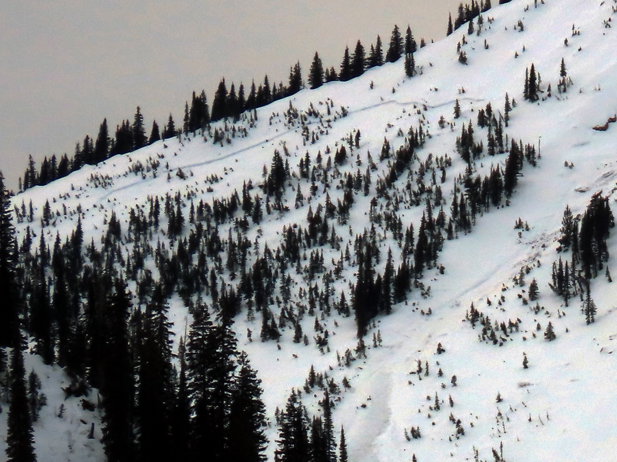
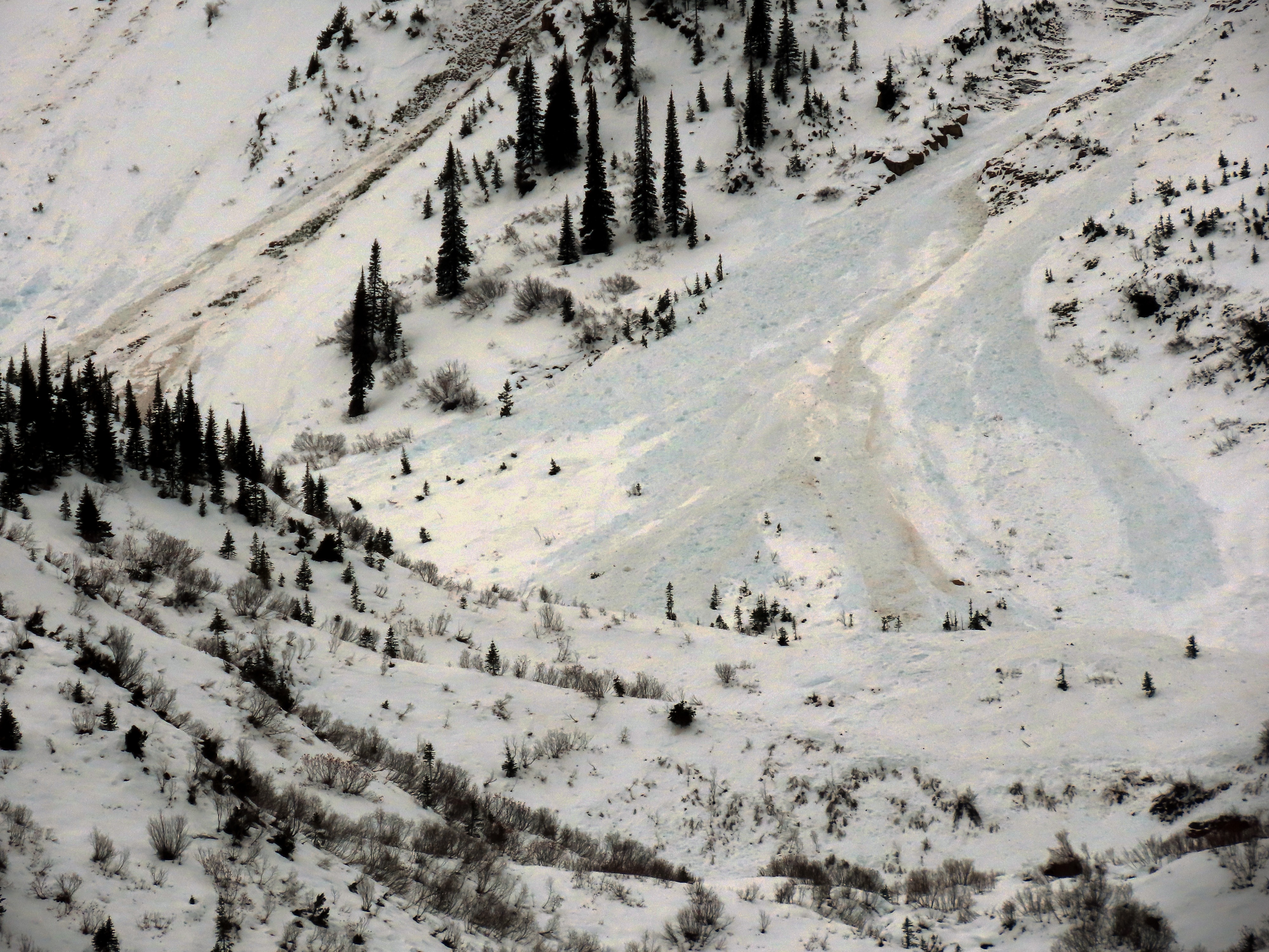
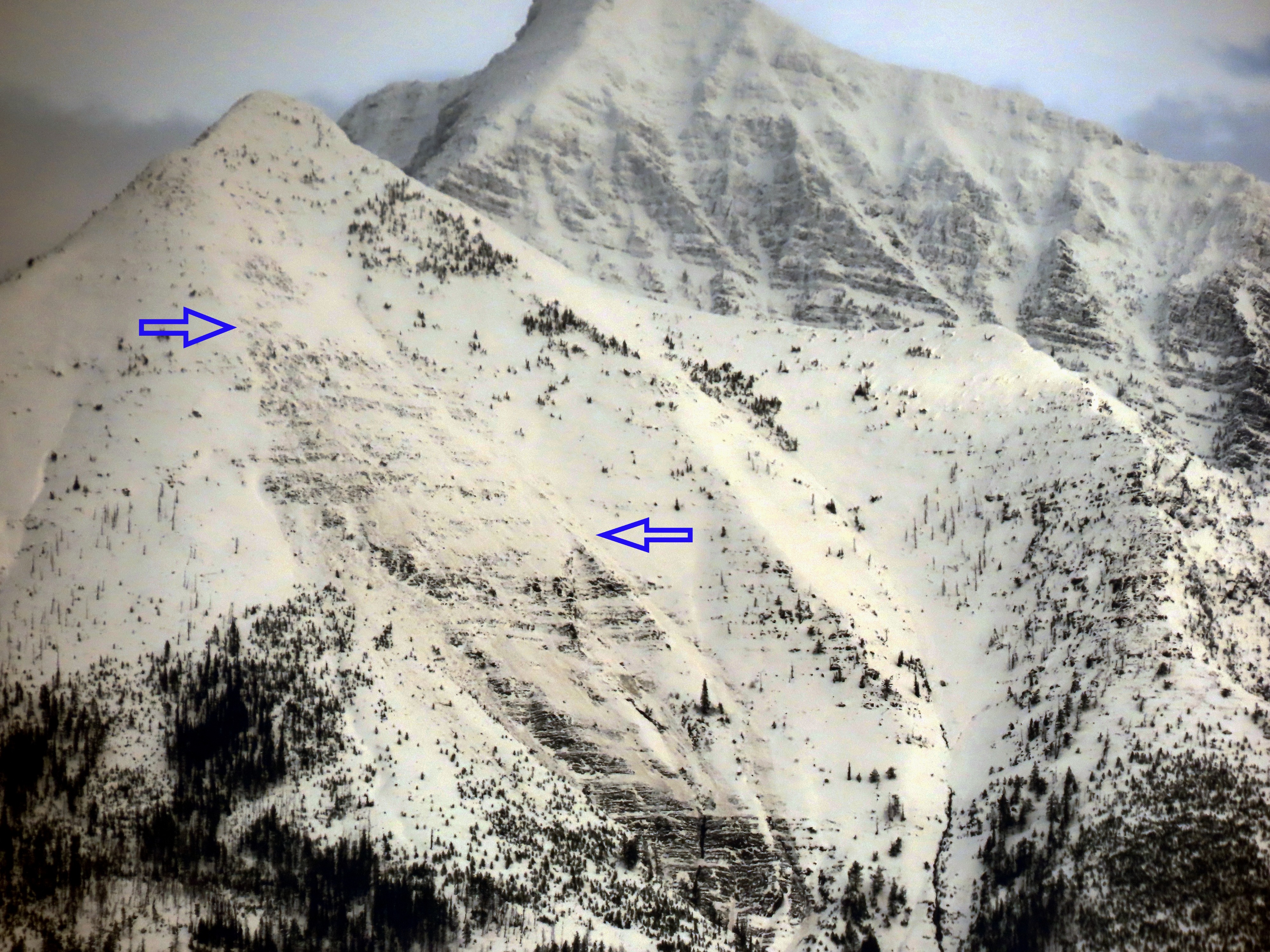
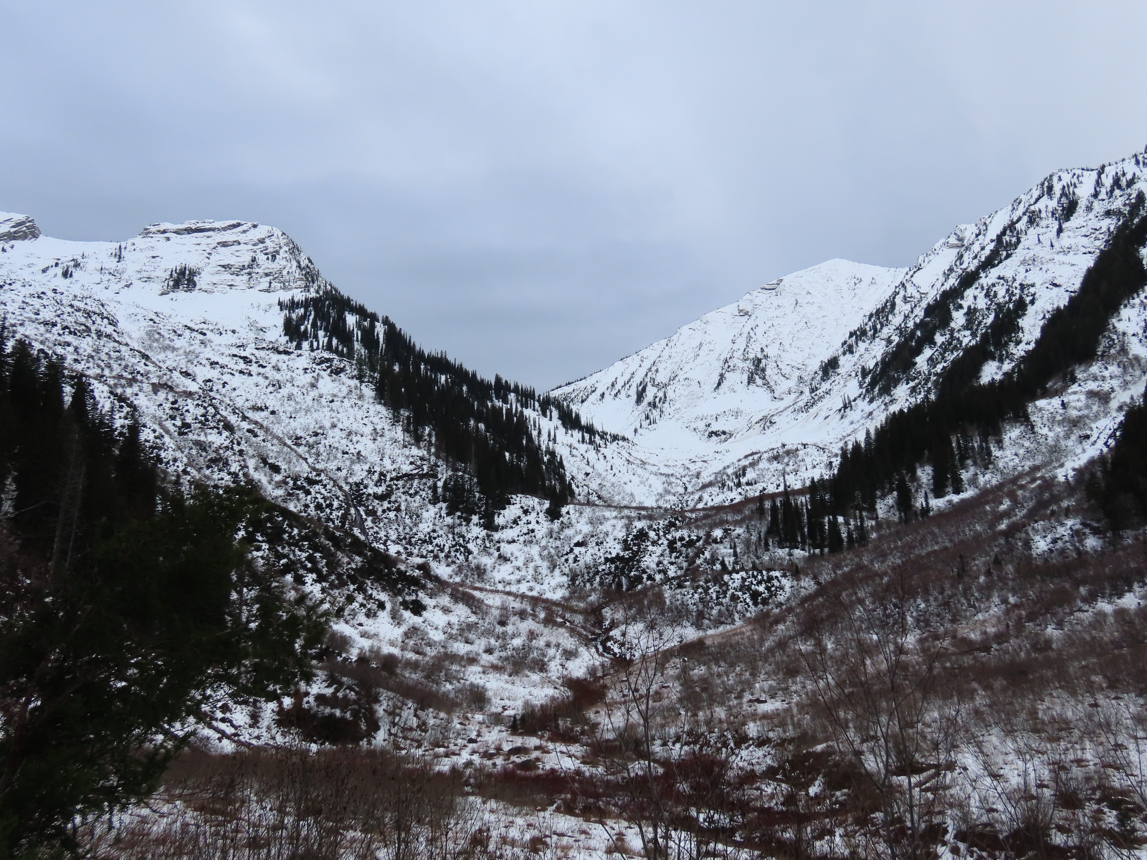
We took advantage of decent visibility to scan the slopes in Rescue Creek for evidence of avalanche activity from the recent Atmospheric River.
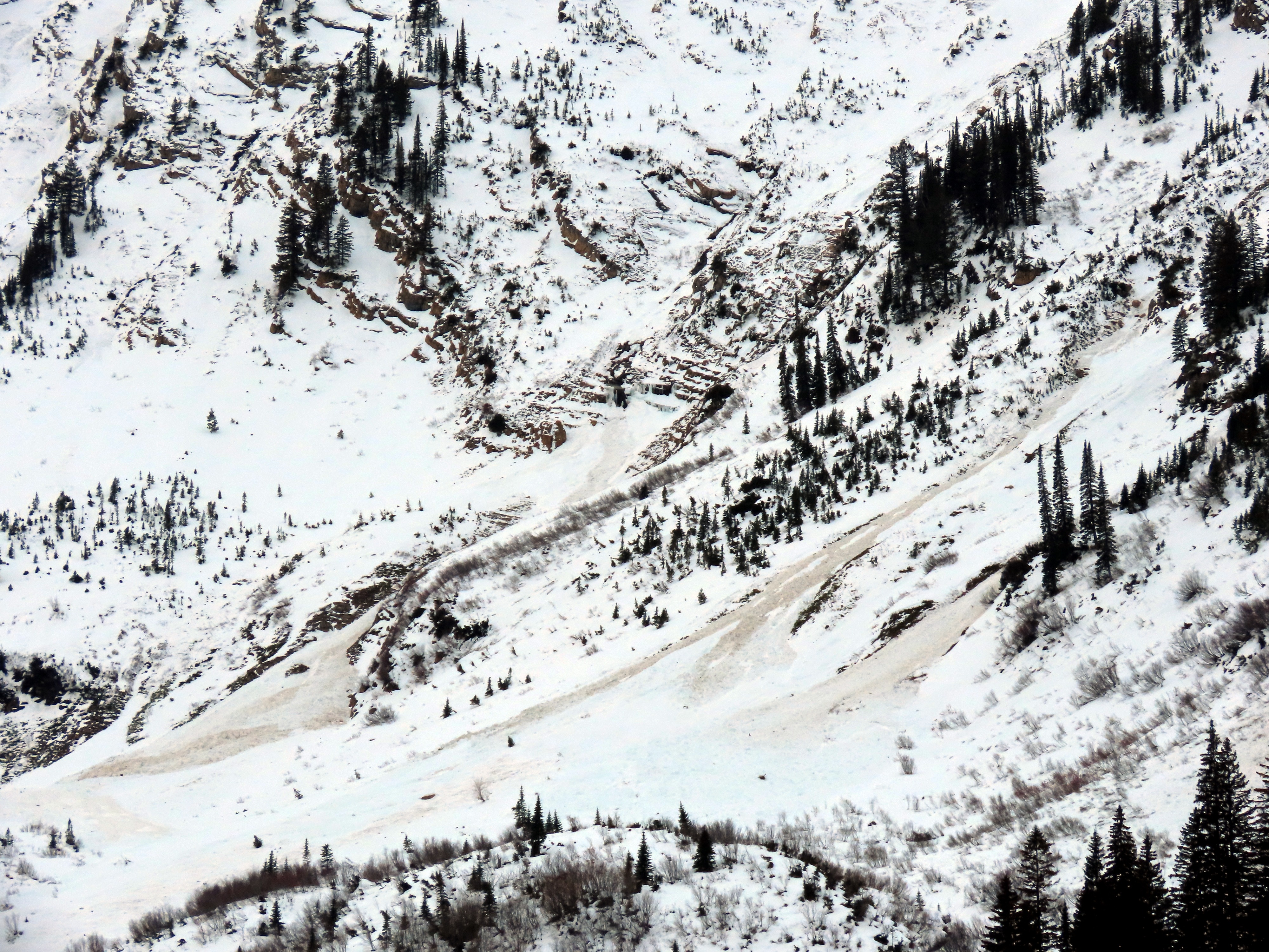
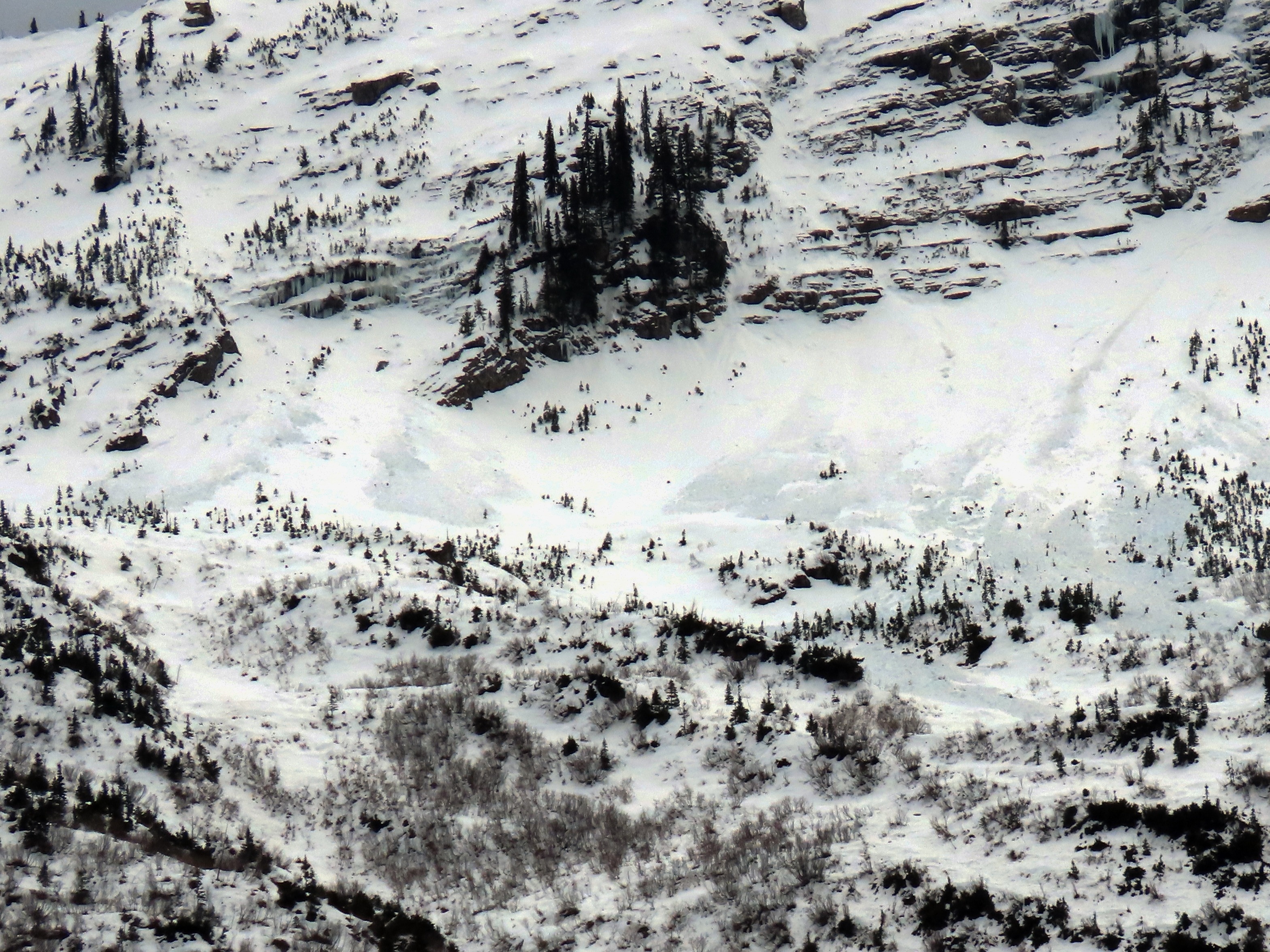
- We noted a dozen wet debris piles beneath southeasterly slopes, but could not always discern if these started as slabs or wet loose.
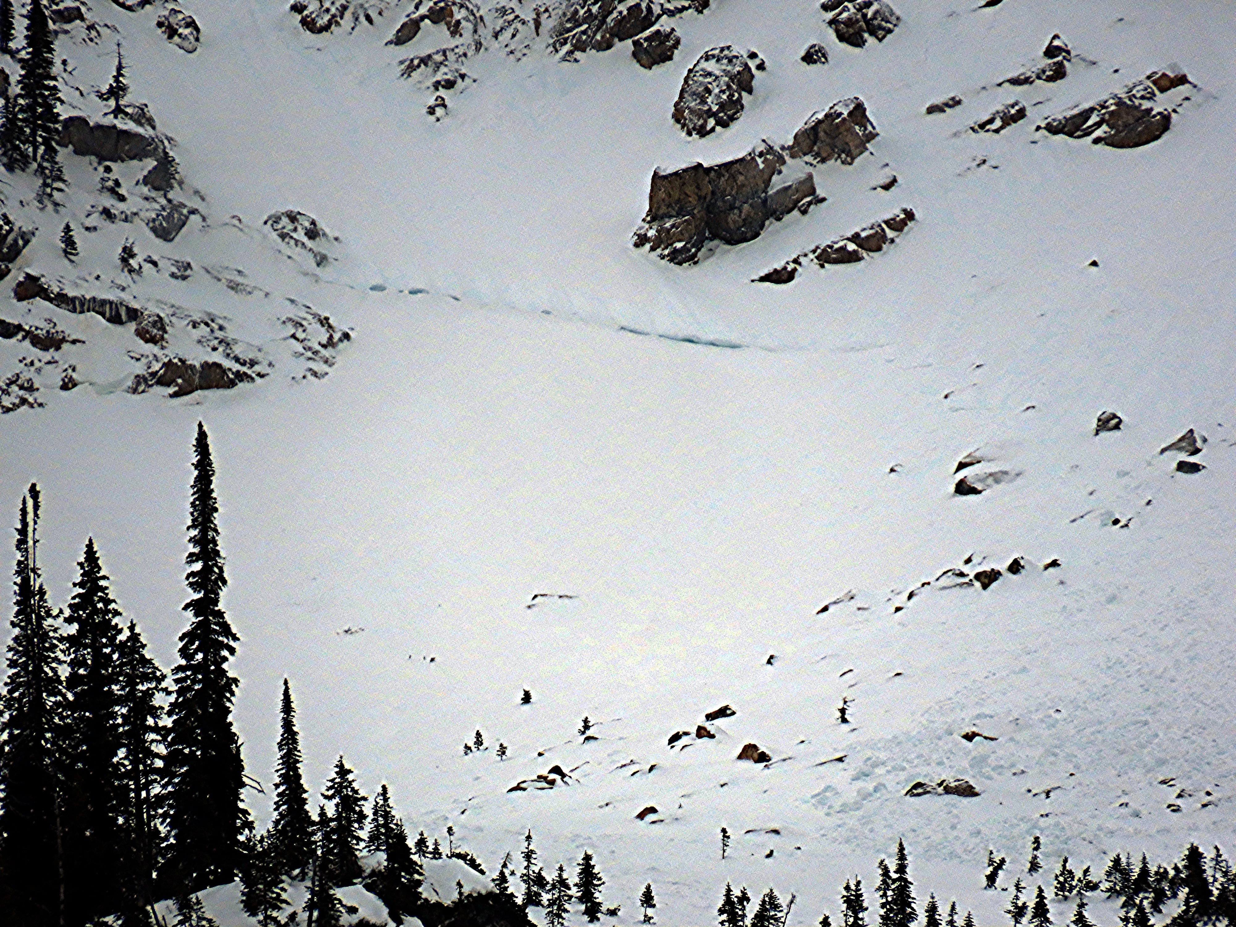
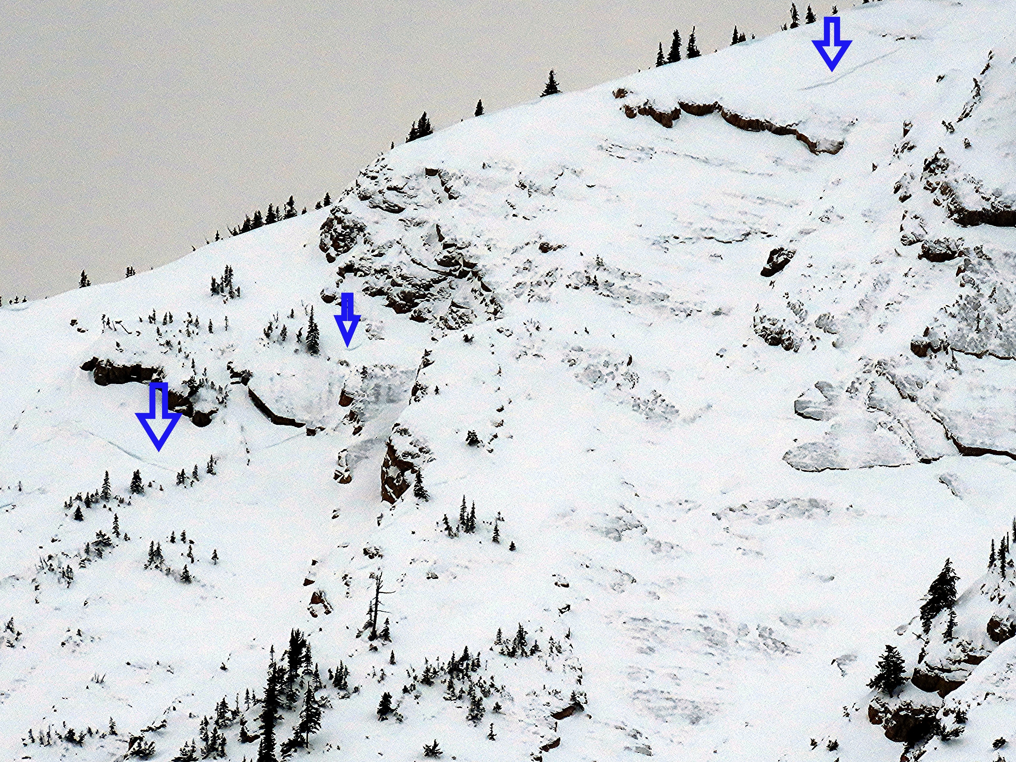
- Our visibility of north-facing slopes was limited from our vantage point. Nonetheless, we observed a half dozen piles of wet debris and the crown of at least two large slabs in these aspects.
- See the avalanche tab for more information.
- The wet summer looks to have been kind to the old-growth alder in this basin.
- The hiking trail is partially melted out, and where there is snow, it is meager.
Weather
- Air Temp
- 35
- Cloud Cover
- broken
- Wind Loading
- none
- Rain Elevation
- 5500'
- Recent Snowfall
- 0
A temperature inversion, with cooler air at the trailhead and warmer temperatures and a warm wind as we approached the basin.
Avalanche
- Size
- D2
- Count
- 2
- Aspect
- N
- Trigger
- N
- Elevation
- 7000 ft
All sizes are estimates, largely based on debris. Many crowns were likely filled in, and we had limited visibility into start zones. We were able to see two crowns. Many wet debris piles of unknown origin (could have started as slabs higher up), and a few clear wet loose avalanches where we could clearly see the point release. Sizes likely ranged from D1.5 to D2 or D2.5.