
Quick report
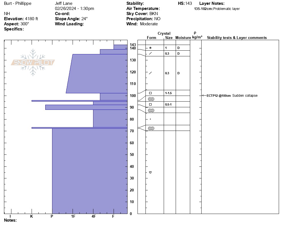
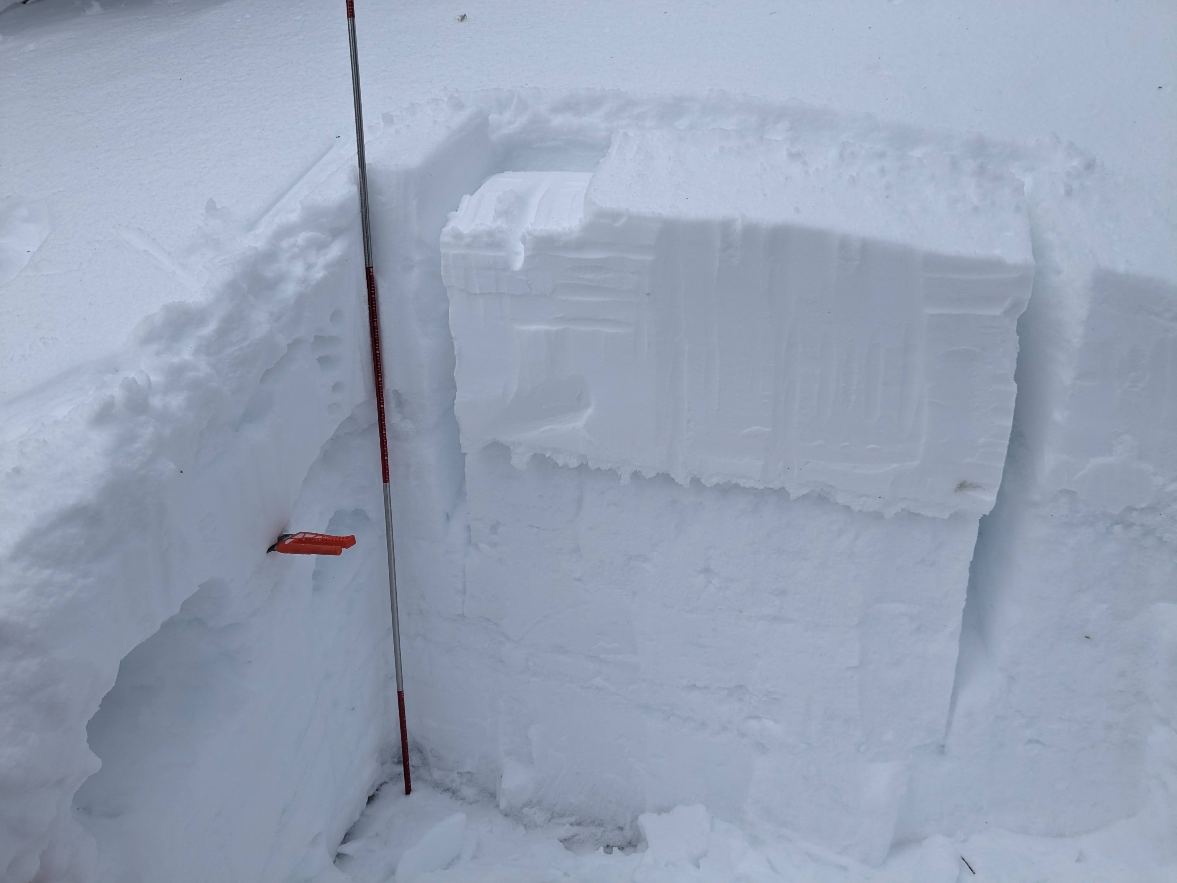
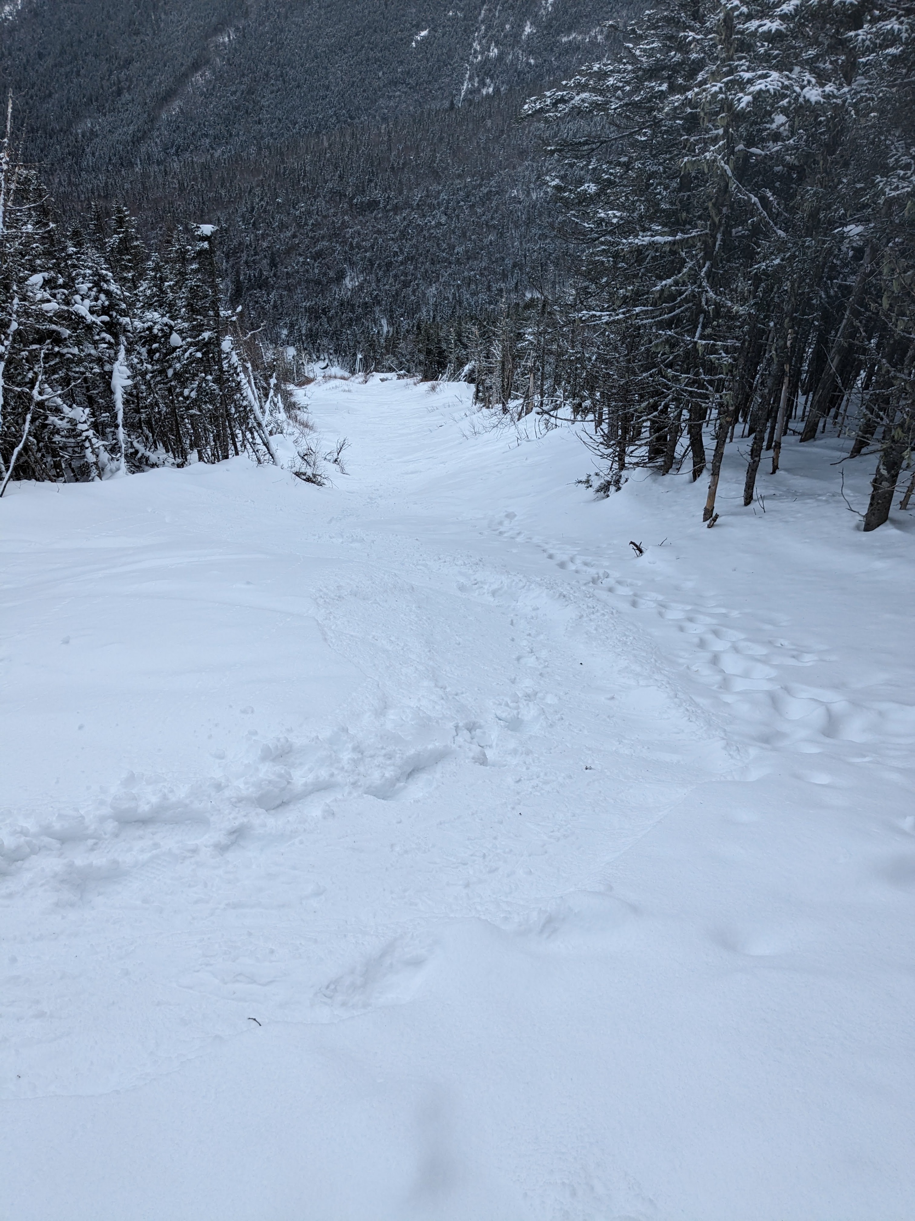
I went up the Cog RR to the top of the slide formed during Tropical Storm Phillippe several years ago. I ascended higher than the slide path, to get out of areas where skiers had traveled. In the path itself, snow had good or very good stability, probably due to previous traffic and the terrain itself. In the unskiable forest above the path, the snowpack was notably different. I found an open area that had no noticeable tracks. The top 1'+ was rightside up on top of a base of numerous crusts. Notably, the uppermost crusts had a weak faceting layer sandwiched between the top two melt-freeze crusts. There were no fewer than 9 distinct crusts within the bottom meter or so, but it was the uppermost that was slightly concerning. Where I was (a small opening in a thick forest) it was not a concern, but if this were in a more open area and going to be subjected to rapid warming or prolonged thaw, it might give me some pause. The Cog skied nicely, an inch or so of dust on crust but decent coverage and mellow bumps.