
Quick report
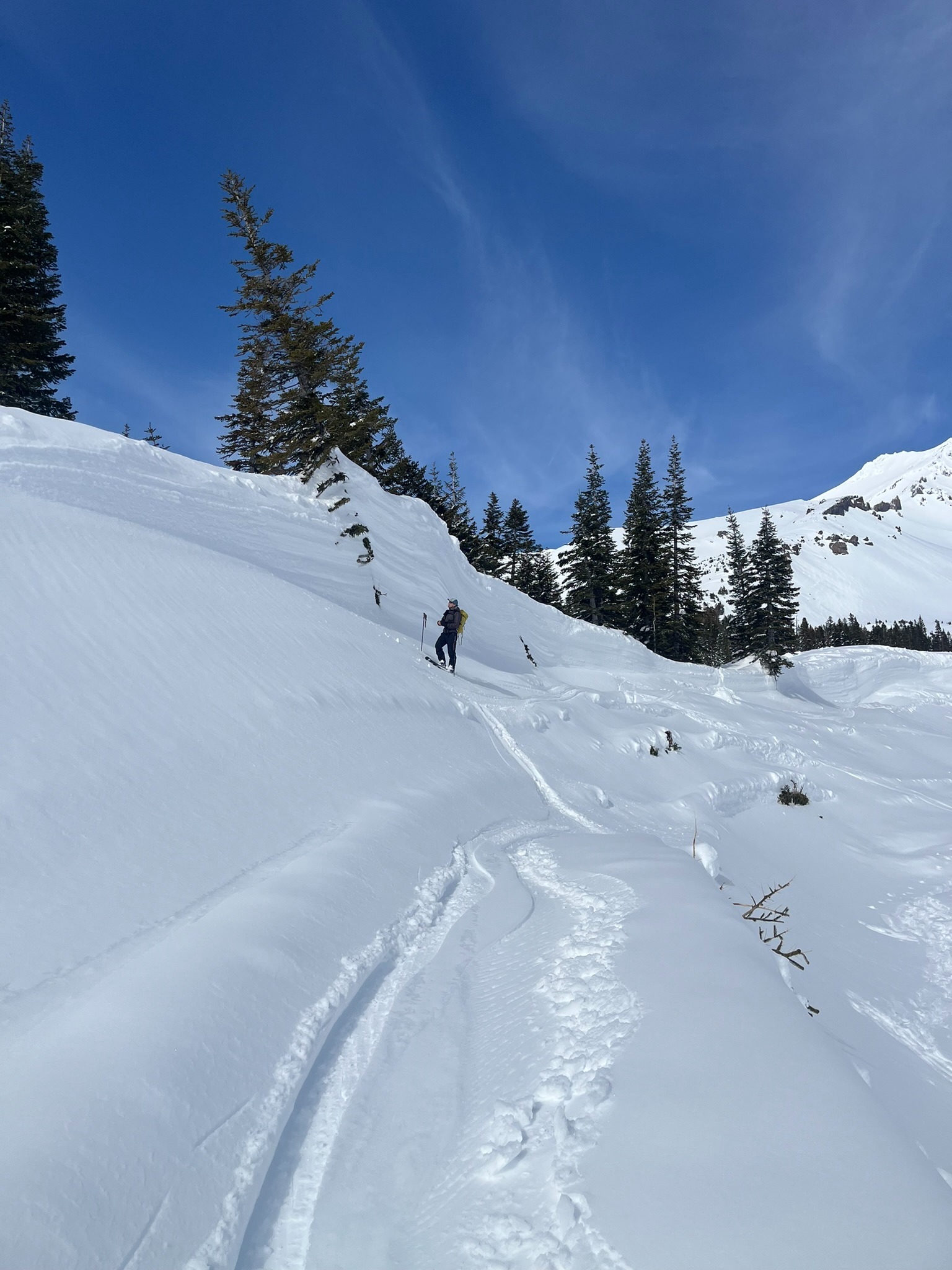
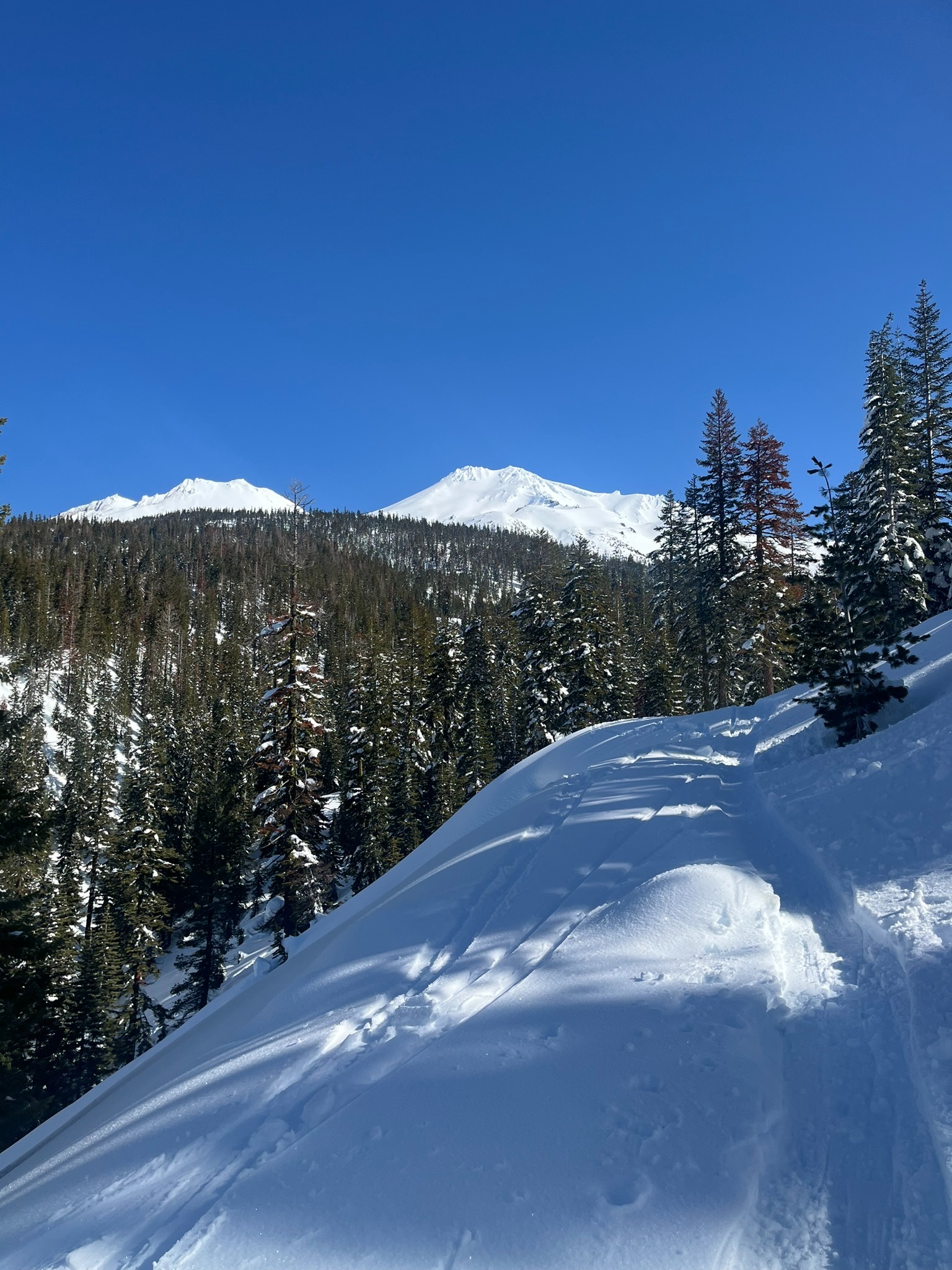
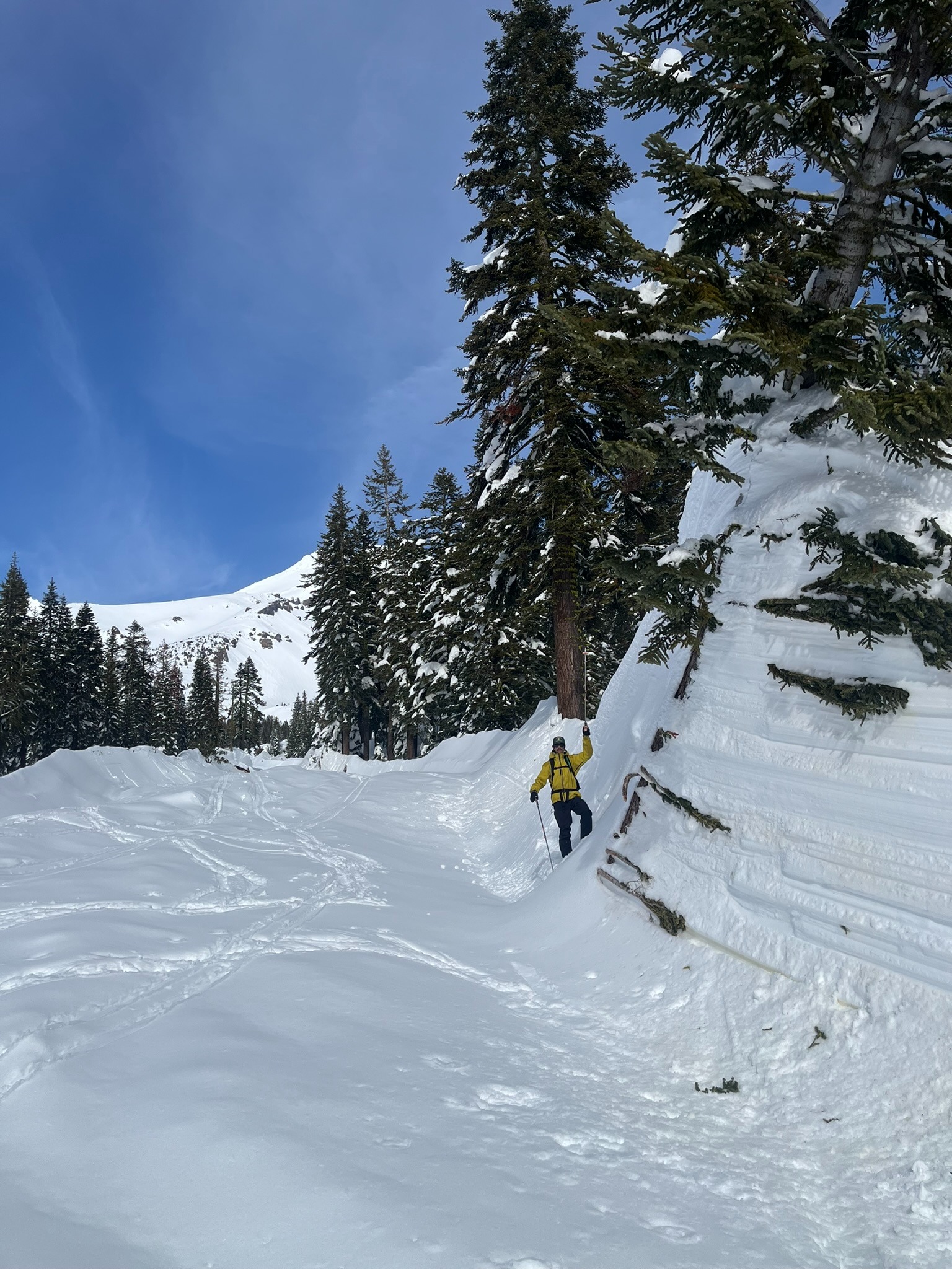
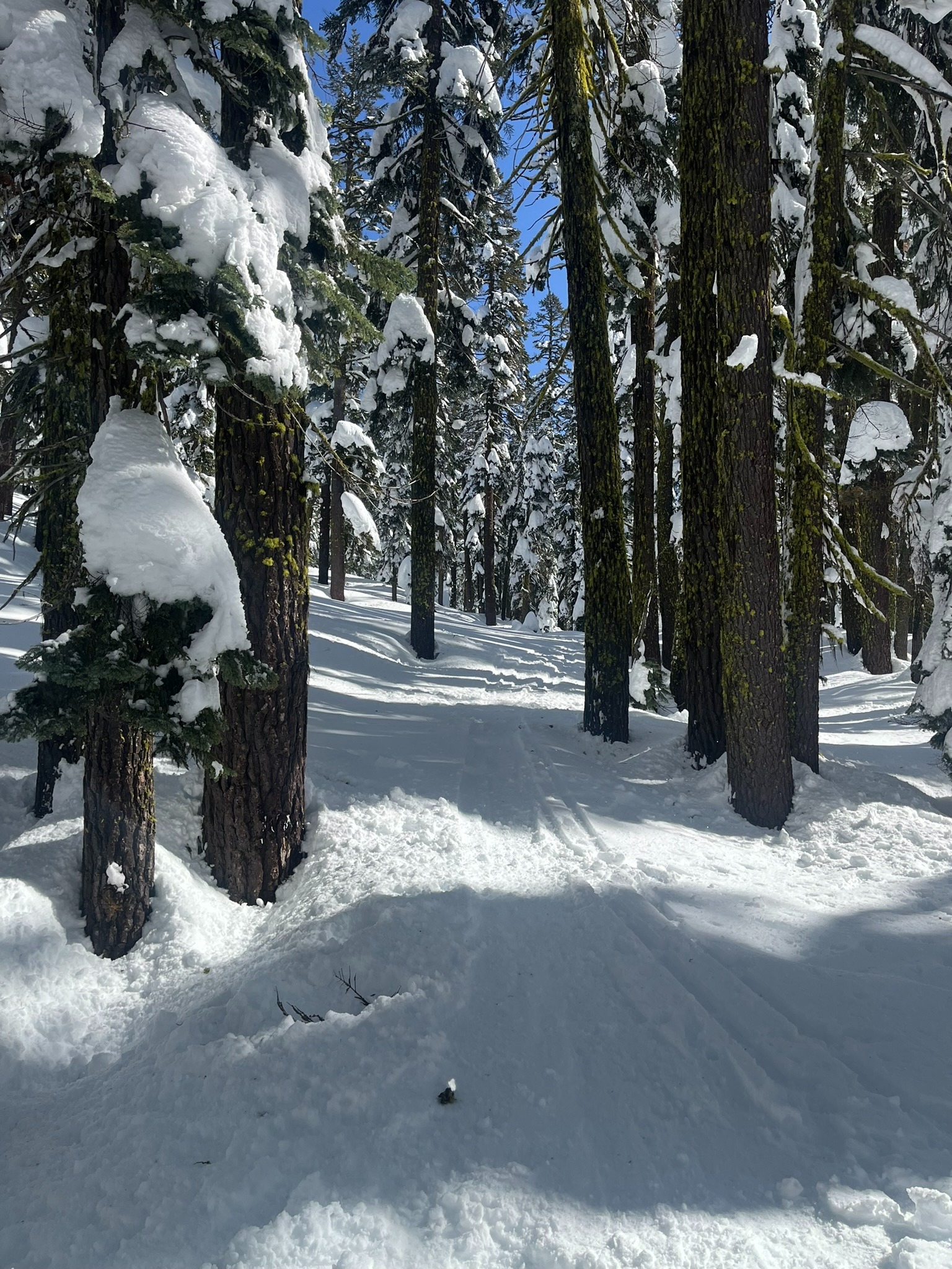
Today we went up to assess below and near treeline conditions while also inspecting the President's Day avalanche runout. This morning, the snow surface was icy and firm. Up above 6,000 we found softer snow that was spared from yesterday's warmup. Once the sun came out, snow surfaces up to 8,000 feet warmed rapidly and large bombs of snow came plummeting down from the treetops. A light refreeze below and near treeline tonight will allow for irregular crust formation, though will soften quickly as the mercury climbs even higher tomorrow. It is difficult to capture the truly immense scale of destruction from Monday's avalanche. The debris flow snapped mature timber as if they were toothpicks and continued to carve its way almost all the way to Bunny Flat. Seeing the power of mother nature is both inspiring and frightening. If you're on the fence about taking an avalanche course, go check it out for some inspiration.
The only sign of instability witnessed were rollerballs on east through south through west aspects.
Weather
- Air Temp
- 38
- Cloud Cover
- clear
- Wind Loading
- previous
- Snow Avail For Transport
- none
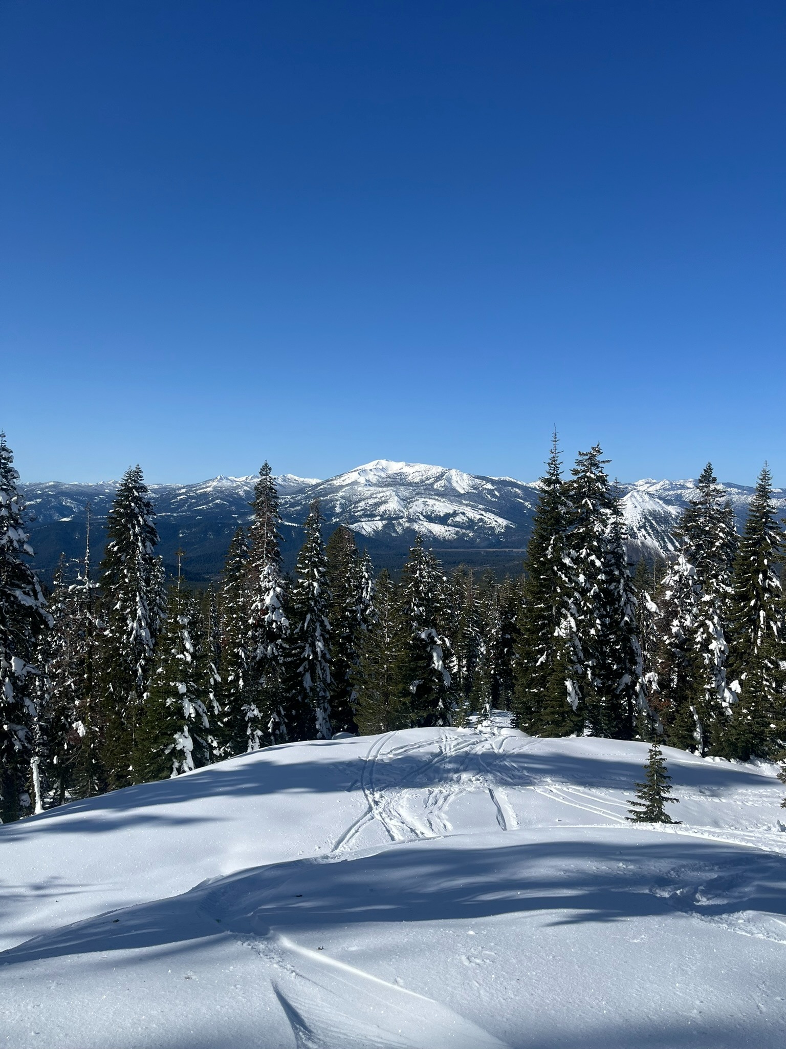
Temperatures rapidly climbed above freezing today. The Sand Flat weather station recorded a high of 40°F at noon. Skies were clear and the sun was shining with all its might on Mount Shasta. Below and near treeline wind was calm, above treeline it was blowing at moderate speeds.