
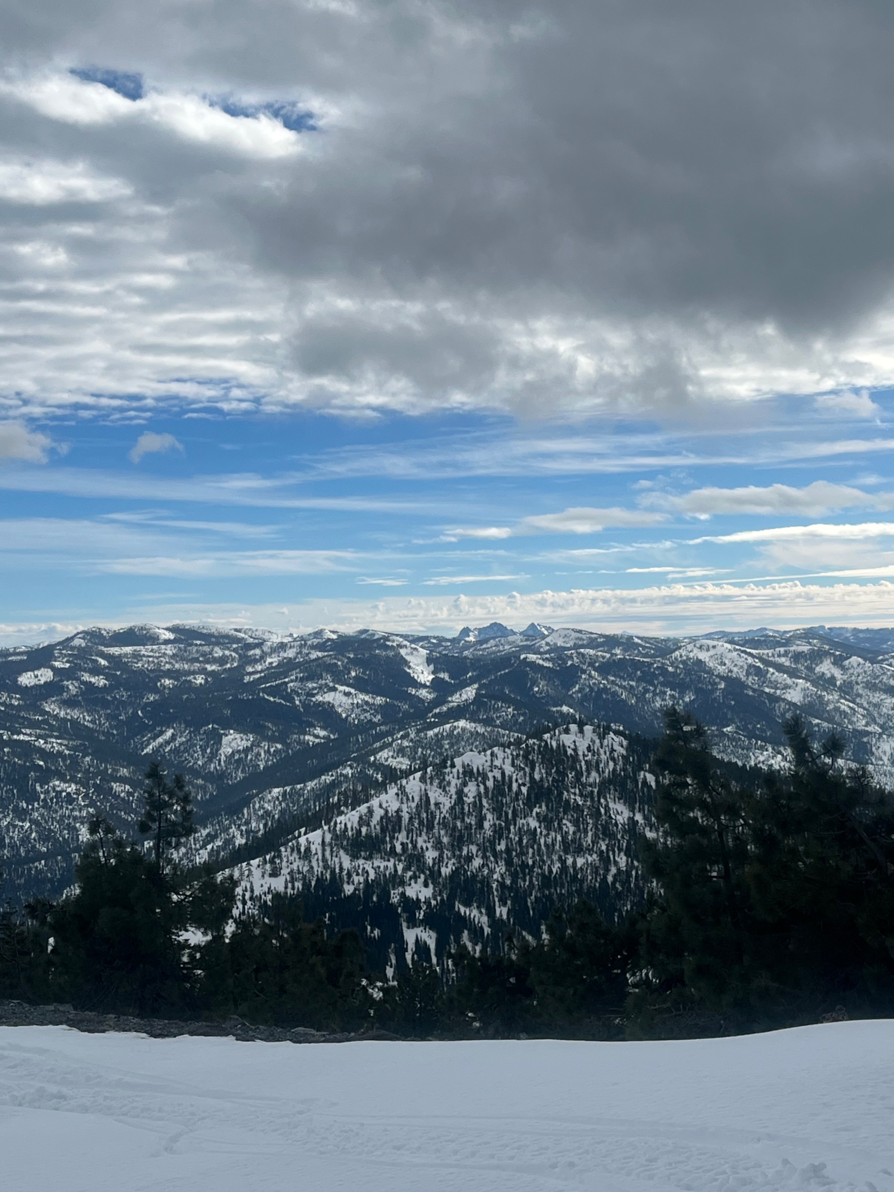
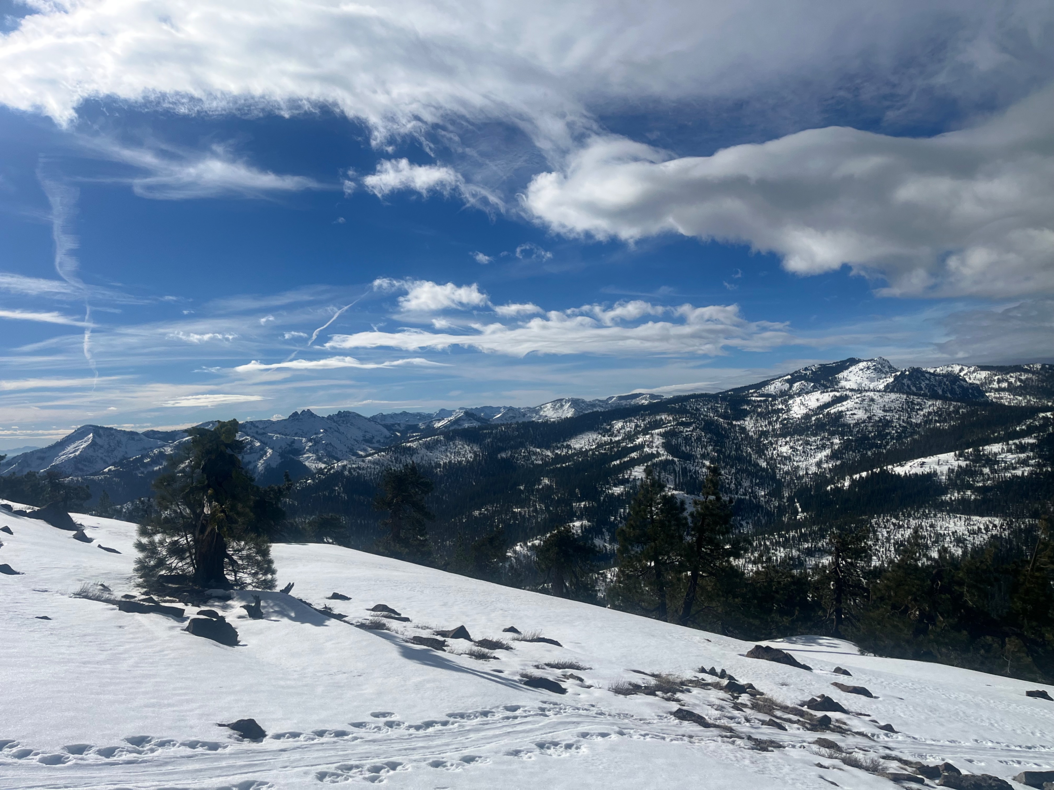
Quick report
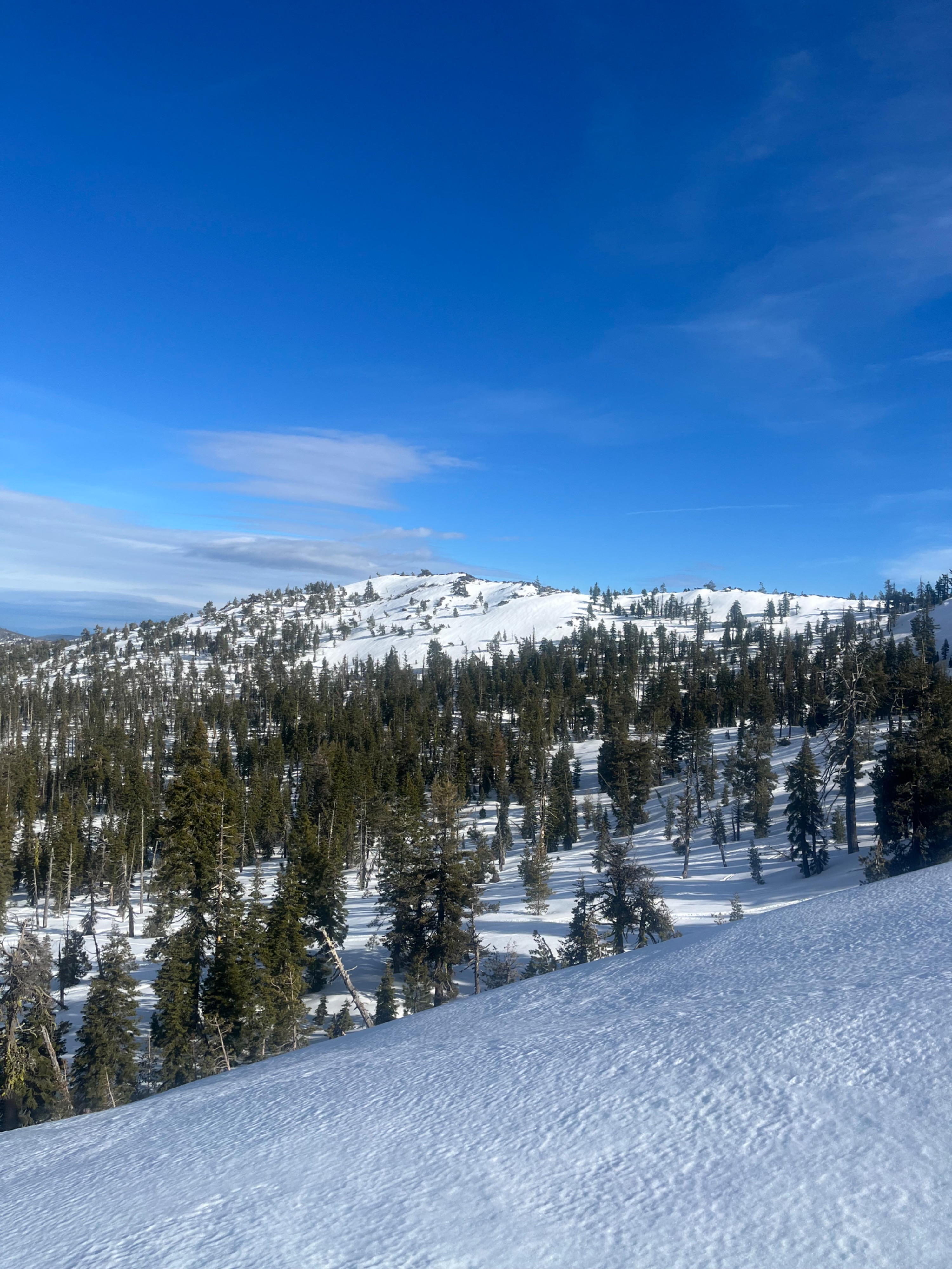
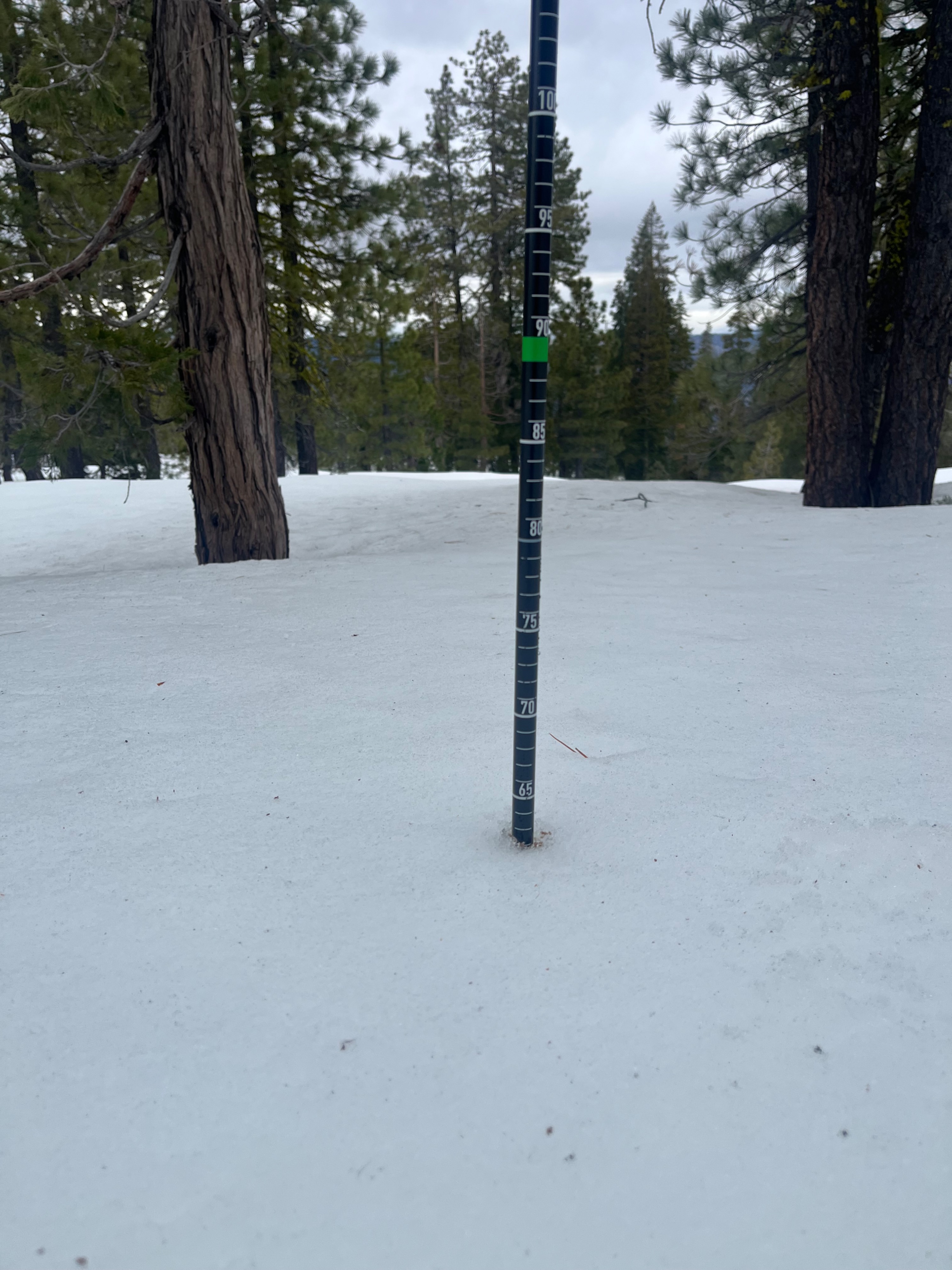
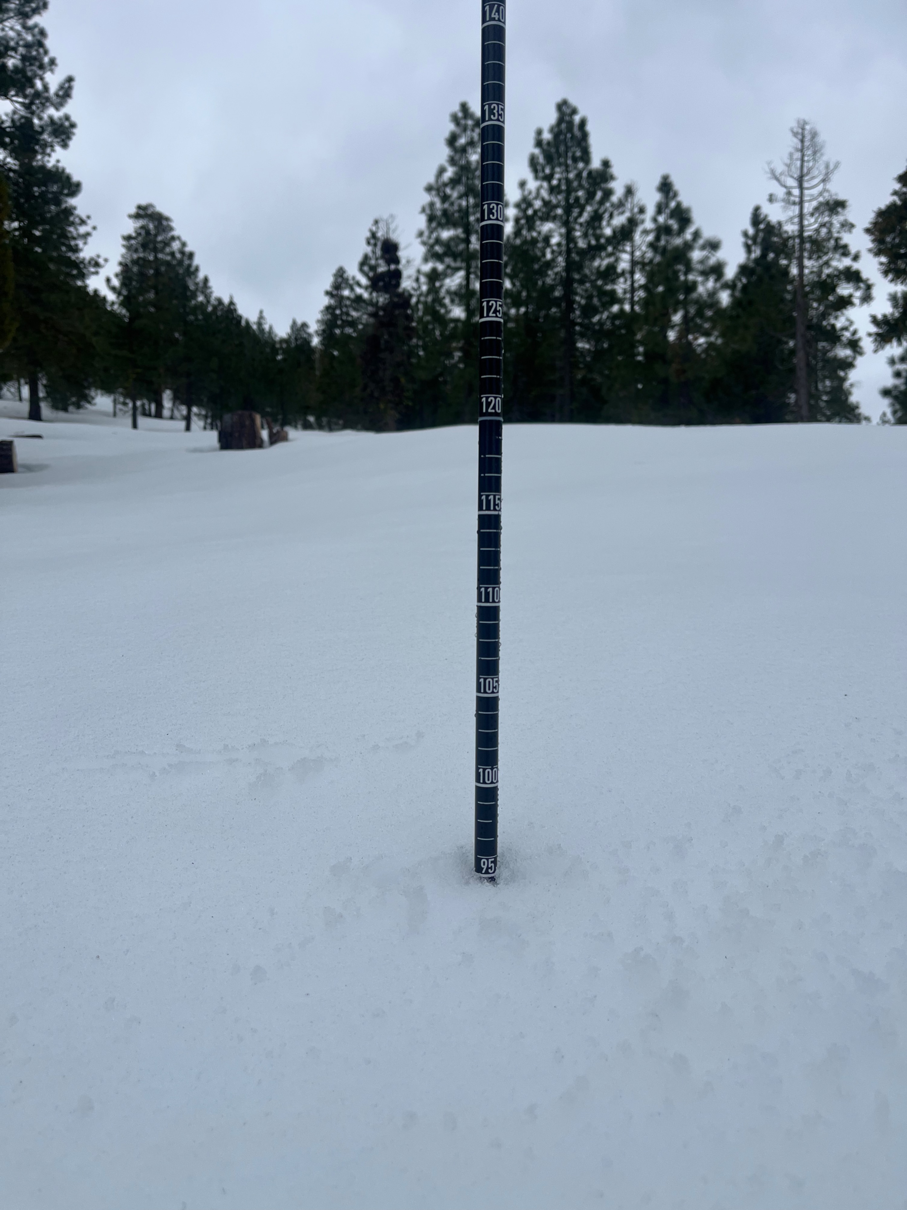
As far as avalanche danger is concerned, the snowpack on this western flank of the forecast area is unremarkable. Snow heights vary from 30 to 110 centimeters depending on elevation and exposure of the slope. At 5,400 feet depths are 30 to 60 cm and at 6,000+ feet depths are 70-110 centimeters. The surface snow is 2-5 centimeters of moist, sticky grains over top a supportable crust. With freezing levels dropping to 4,500 feet tonight, the wet surface snow will freeze into a widespread crust that covers all aspects and elevations for this zone.
We observed no signs of instability.Weather
- Air Temp
- 40
- Cloud Cover
- overcast
- Wind Loading
- none
- Rain Elevation
- >7,500
- Recent Snowfall
- 0
- Snow Avail For Transport
- none
Partly cloudy skies transitioned to overcast by early afternoon, with light rain beginning at 1:30 PM. Temperatures were 40-50°F this morning and dropped to just under 40°F by 2:00 PM. Northwest wind blew moderately.