
Quick report
- Cracking
- isolated
- Collapsing
- isolated
Surprisingly good ski quality in the field today, with cold snow holding between roughly 4000'-6500'. Expect greatly deteriorating quality and stability within the next 24 hrs.
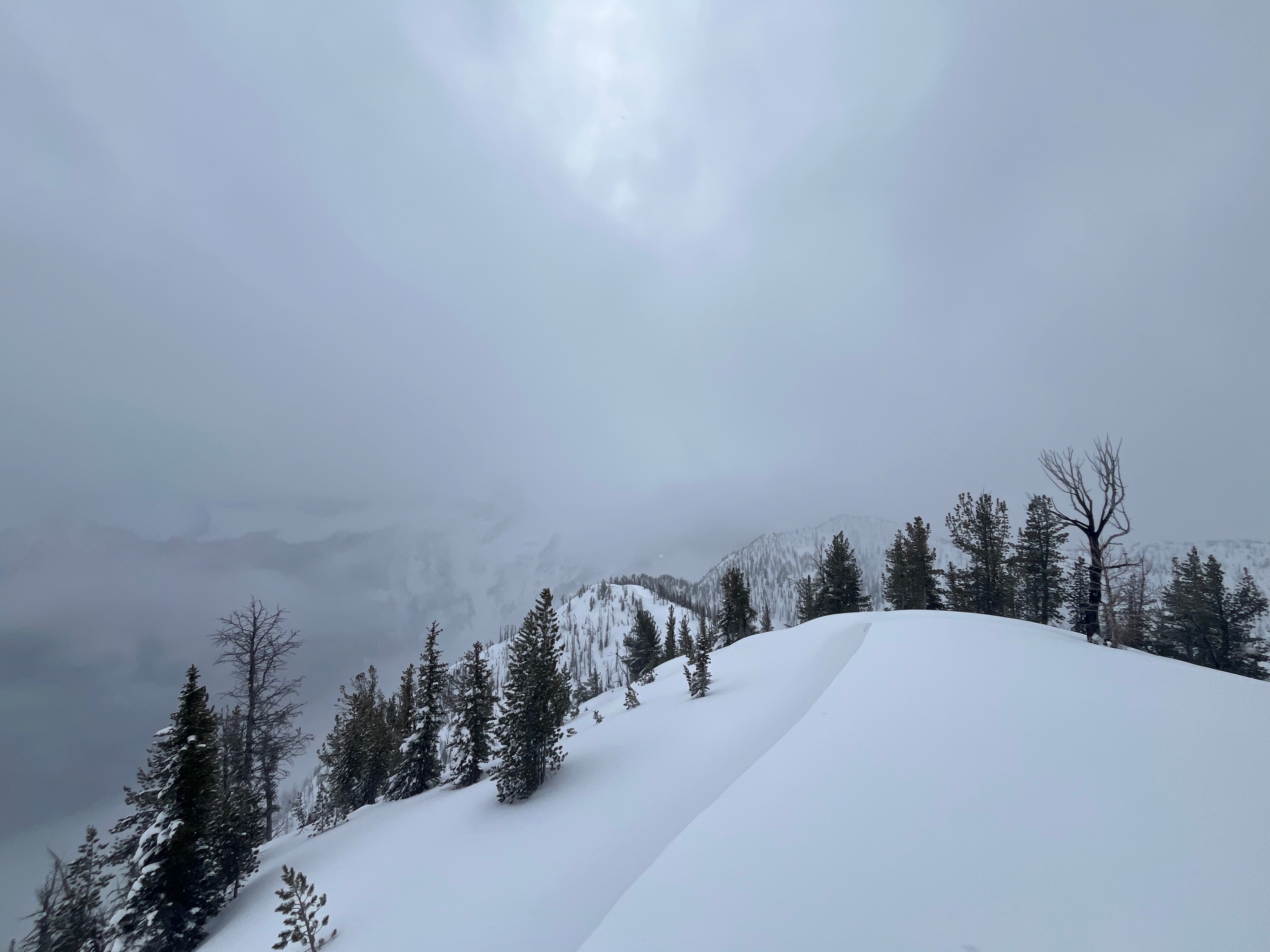
I completely avoided avalanche terrain today and had very poor visibility of the surrounding mountains. The snowpack in the zone generally felt heavy-over-light, with the punchiness very evident with ski pole tests throughout.Weather
- Air Temp
- mid 20's F
- Cloud Cover
- overcast
- Wind Loading
- light
- Recent Snowfall
- 10
- Snow Avail For Transport
- moderate amounts
Intermittent light snowfall (s-1) with 1°C at the road. Mainly overcast to obscured skies with brief breaks of filtered sunshine. Strangely calm, with just a hint of light SE winds above 6500'. Upon leaving the field around 2:30pm, snow continued down to about Klipchuck / Cedar Creek, becoming all rain in Mazama.
Snowpack
The entire upper snowpack was moist, with a weak zipper crust below the most recent snow, at elevations up to ~ 3700'. Very manky skiing. Above, between roughly ~3700 - 6500', cold, dry snow was hanging on. Very good skiing. Interestingly, above about 6500', the overriding warm air was evident. The most recent 10cm was moist, sitting on dry snow from previous accumulations. Very maritime skiing.
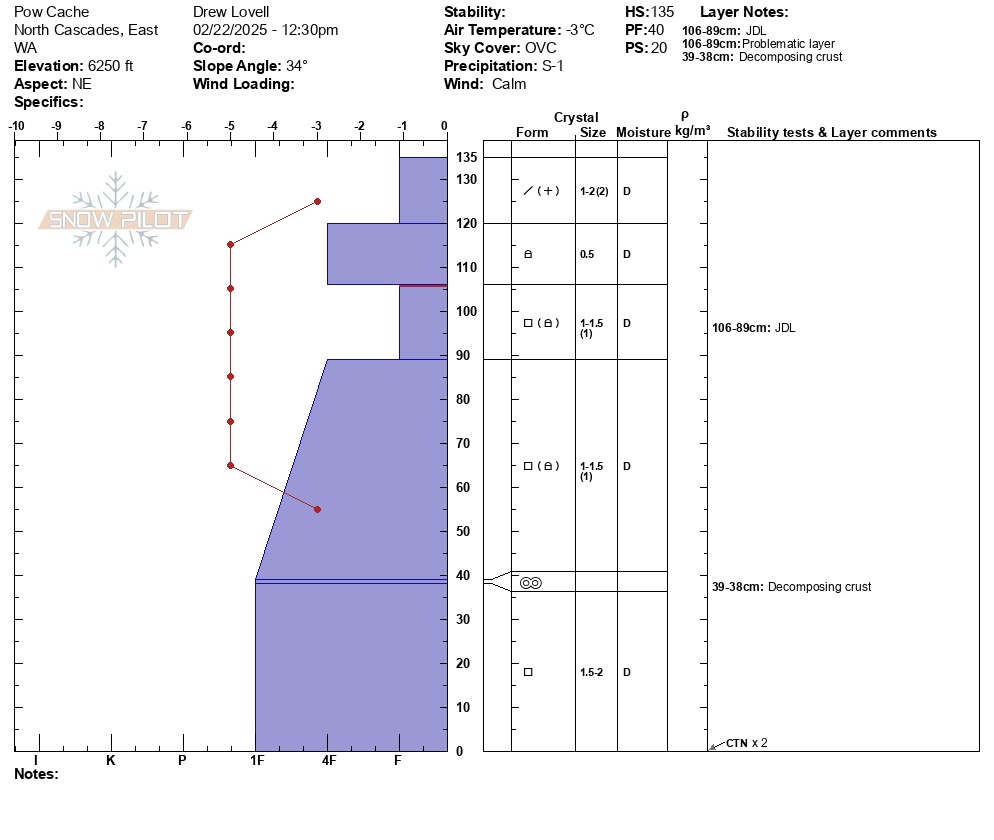
A profile at 6250' on a NE aspect showed a facet-dominated snowpack, as has been typical for the season. As in many other areas, the 1/31 storm snow had settled into a 15-20cm thick "slab" of 4F hard rounding faceted grains. Above, 15-20cm more recent dense storm snow is undergoing warming. Below, the F hard facets of the January Drought Layer are showing some signs of rounding, but remain a weak, persistent layer of concern. Stability tests at the profile location were unremarkable, but, on the scale of the greater terrain, it would not be hard to find slopes that would likely be reactive to skier triggering.