
Snowpack
Our day brought us to Granite Canyon, with a max elevation of around 9500 feet. Mostly cloudy skies and some mid-elevation fog this morning. Mid 20's F at 9500 feet. Light to no wind (NW).
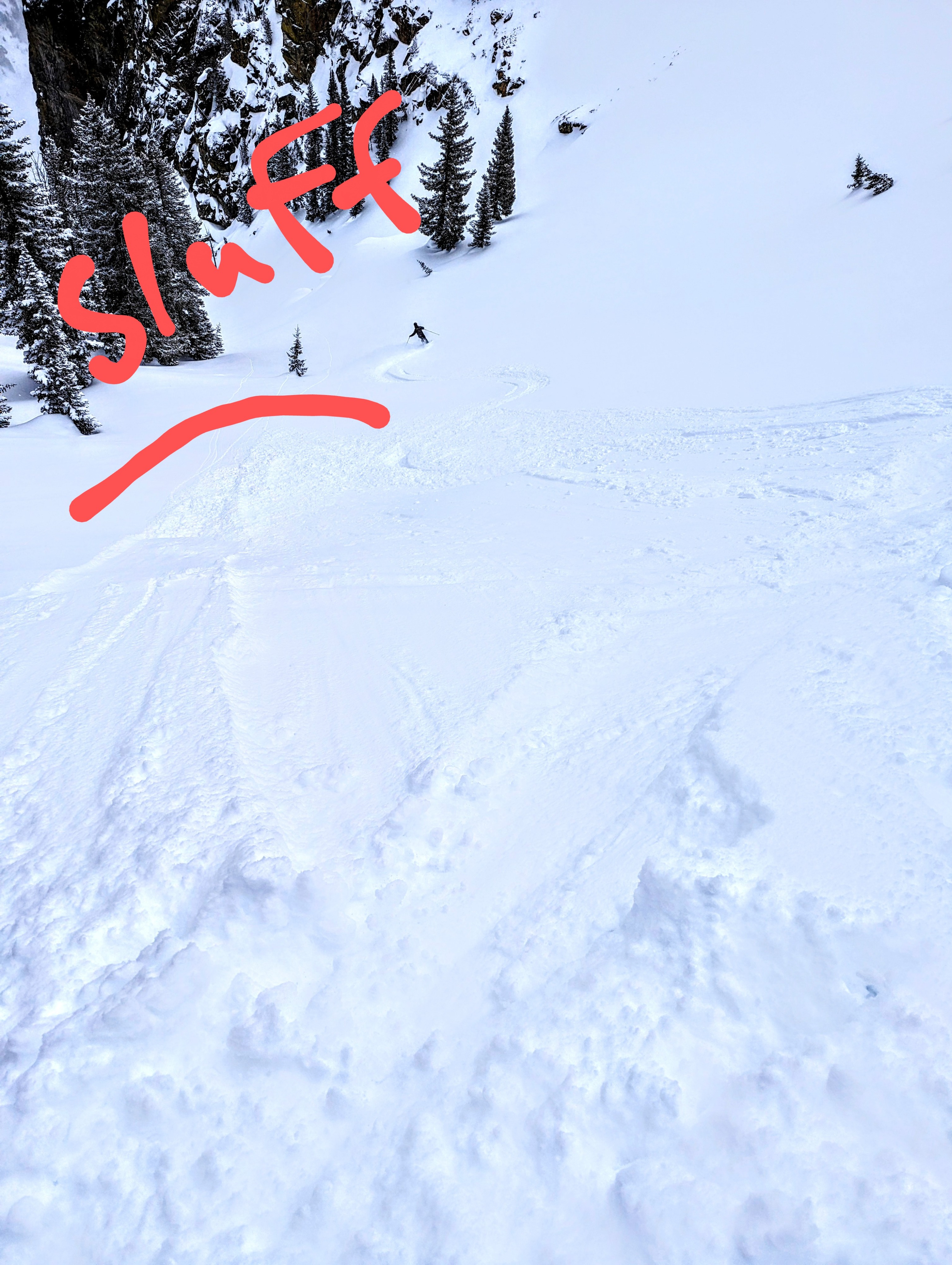
At 9500 feet, about 8 inches of relatively low-density (<10%) snow sits on a crust. Some sluffing of new snow in steep terrain. Northeast facing terrain skied ok but the crust was there, always. Storm snow tapered to a few inches at 7500 feet and anything with a slight solar tilt was becoming moist quickly. The biggest hazard of the day was probably re-frozen tracks and debris barely covered by recent now - ski with caution. Cloudy skies and cool temps look to remain in place tomorrow but clearing skies on Wednesday with warming temperatures will produce some wet loose activity in the recent storm snow.
Evidence of wind transport was more significant above 10,000’. Given the wind direction, I would expect to find some slabs on east and southeast facing slopes along exposed ridgelines. It is worth noting that these loaded areas will be some of the first to heat up when the sun comes out in the near future.