
Quick report
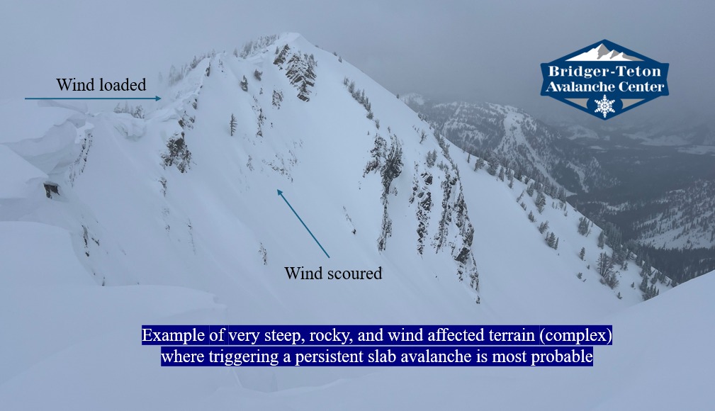
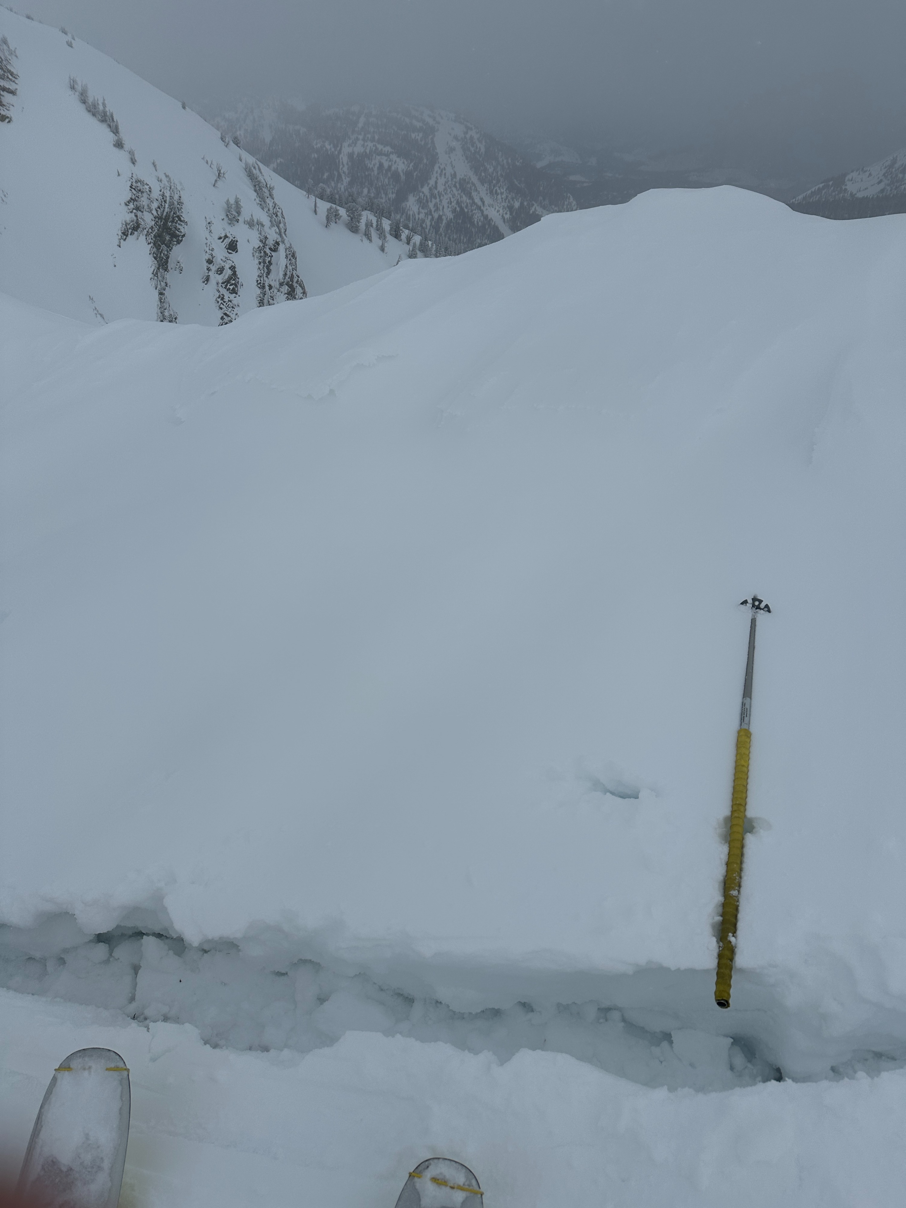
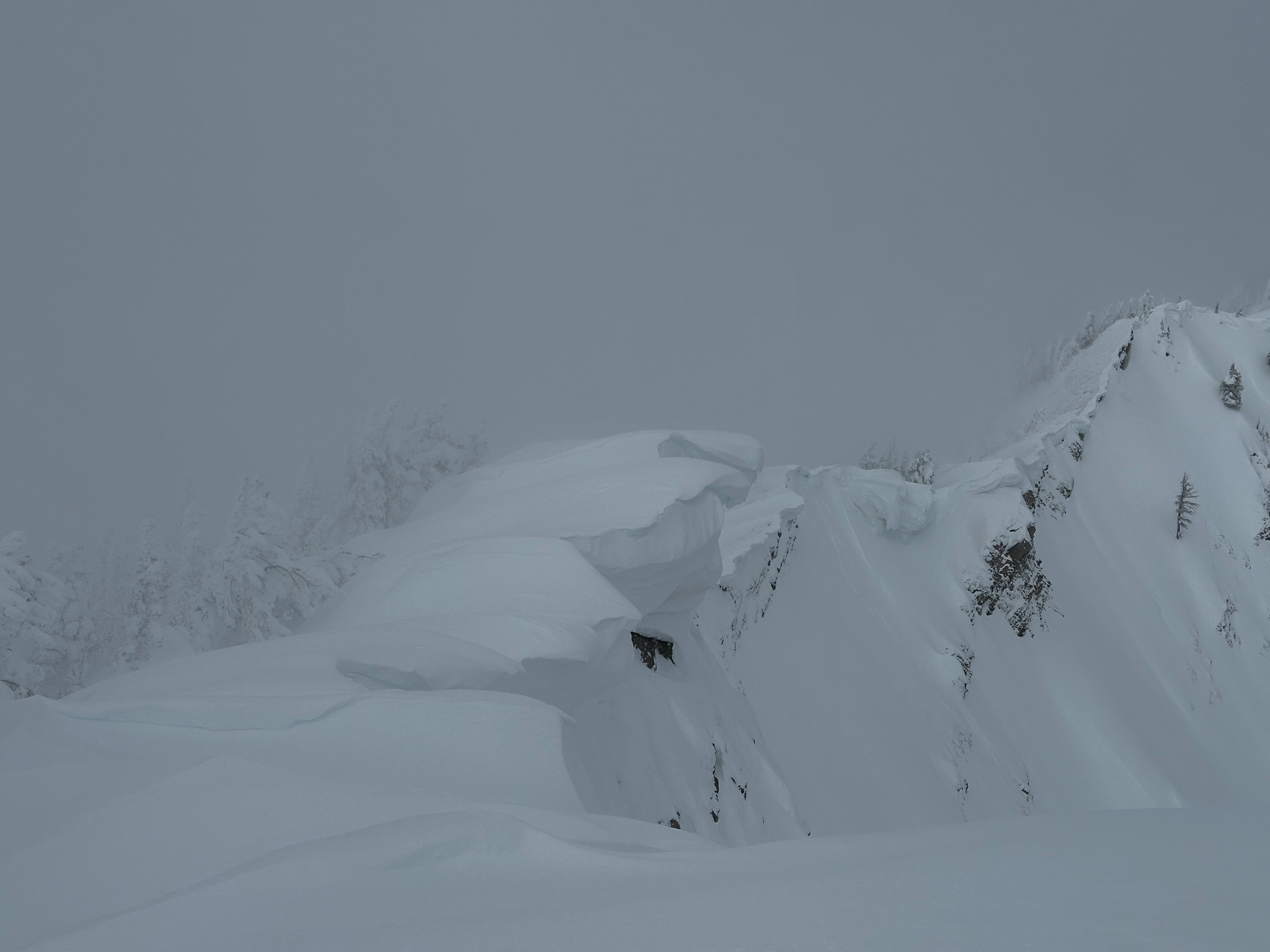
We observed no significant signs of instability including recent avalanches, cracking, or collapsing. We did observe a couple of natural wind slab avalanches below cornices that were roughly 2' deep. Once again, we were fairly surprised to not see any larger avalanches despite the recent big storms. Recent snow amounts were 28-32" above 8000'. Lower elevations received roughly 16-20". All the recent snow is settling quickly with warm temperatures and the greenhouse effect from cloud cover. The snowpack in this location appears to be adjusting to the recent load well. We traveled above 10,000' to check any wind slab formation. Plenty of wind loading has occurred, but slabs appeared stubborn as the snowpack is locking up. Cornices have grown large above east-facing terrain. Overcast skies all day slightly breaking by 15:30. Very small wet loose avalanches were starting to fail in lower elevations late in the day.
Tomorrow's clearer skies will destabilize the recent snow - producing larger, wet loose avalanches. Keep an eye on changing conditions.
Weather
- Cloud Cover
- overcast
- Wind Loading
- previous
- Snow Avail For Transport
- moderate amounts
Snowpack
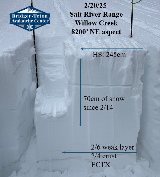
Dug a few snowpits to investigate the persistent weak layers buried Feb 6th. None of our snowpits produced unstable test results. Mid storm density breaks are stabilizing quickly. The persistent weak layers were comprised of rounding facets buried around 85cm (34") below the surface and trending unreactive in this location which typically sees some of the highest snow totals.
9600' NW aspect HS: 310cm ECTX
8200' NE aspect HS: 245cm ECTX
The 2/4 crust and saturation layer from warm temperatures and rain/sleet was decomposing and visible up to 9600'. Facets below the crusts were rounding and gaining cohesion.
Avalanche
- Size
- D2 R2
- Type
- SS
- Count
- 2
- Aspect
- E
- Trigger
- NC
- Elevation
- 9600 ft